Bochym Manor

Heritage Site in Cornwall

England

Bochym Manor

Mullion Methodist Church
Mullion Methodist Church Credit: Paul Barnett

Bochym Manor is a historic estate located in Cornwall, England. This magnificent manor house is considered a significant heritage site due to its rich history and architectural significance. Situated in the picturesque village of Cury, near Helston, Bochym Manor stands as a testament to the region's past.

The manor house dates back to the 14th century, with some parts believed to be even older. It was originally built as a medieval hall and has since undergone various renovations and additions over the centuries. The architecture of Bochym Manor is a beautiful blend of different styles, including Tudor and Georgian influences. Its stunning exterior features a mix of stone and brickwork, complemented by charming timber-framed sections.

The interior of Bochym Manor is equally impressive, with well-preserved original features such as grand fireplaces, intricately carved woodwork, and ornate plasterwork. The manor house also boasts an impressive collection of period furniture, artwork, and historical artifacts, providing visitors with a glimpse into the past.

Surrounded by lush gardens and picturesque landscapes, Bochym Manor offers a serene and tranquil atmosphere. The estate also includes a charming courtyard, a beautiful chapel, and a range of outbuildings, all of which contribute to its historical significance.

Today, Bochym Manor serves as a private residence and is not open to the public. However, its architectural beauty and historical importance make it a cherished heritage site in Cornwall.

If you have any feedback on the listing, please let us know in the comments section below.
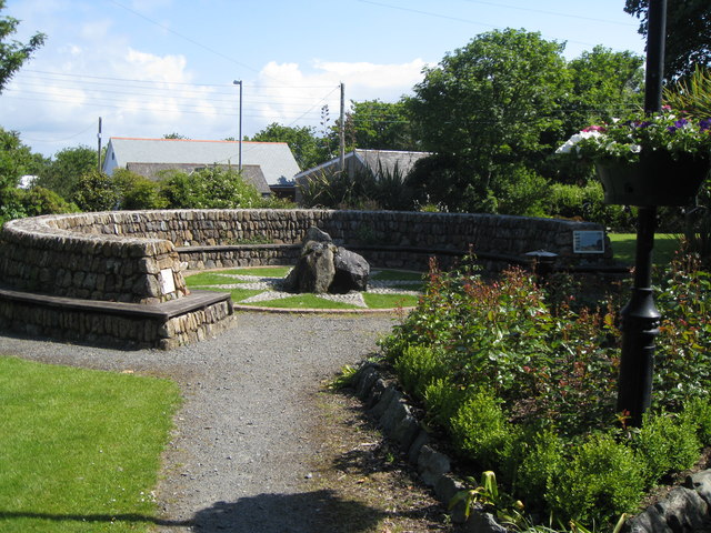
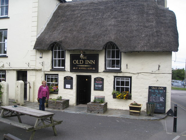
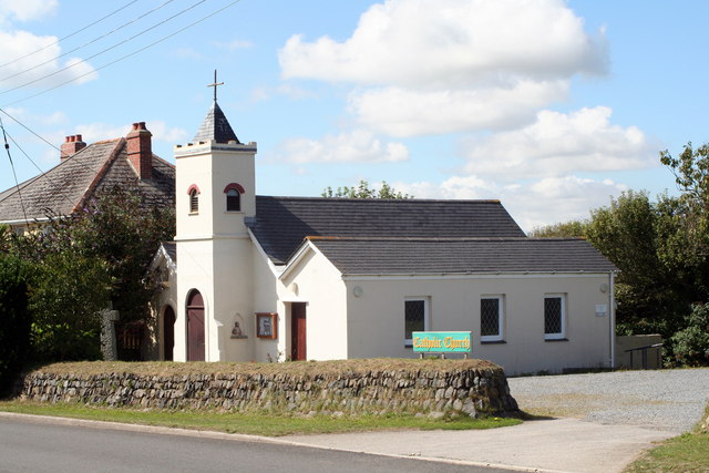
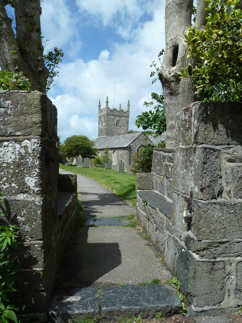
Bochym Manor Images

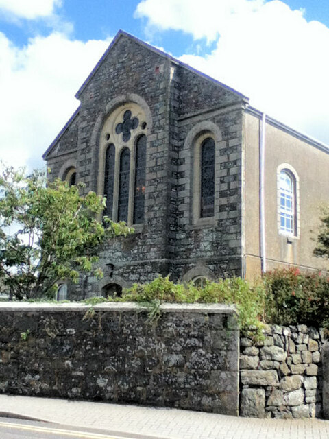
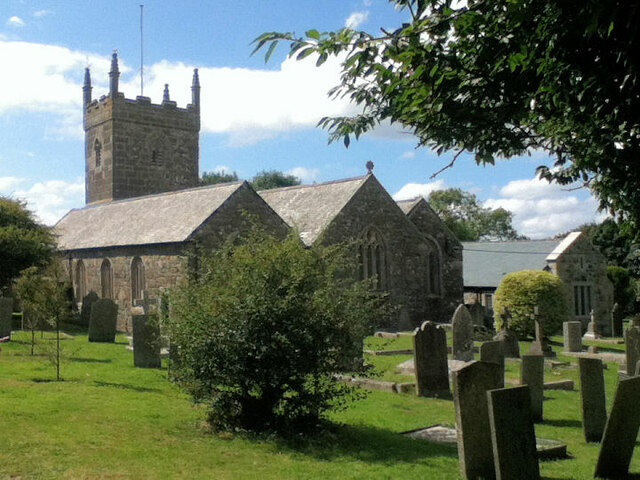
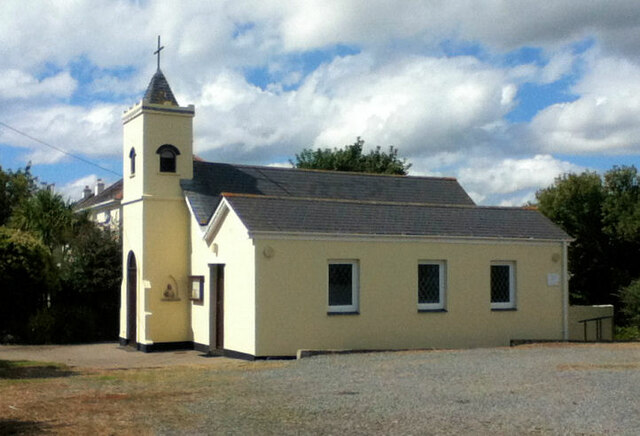
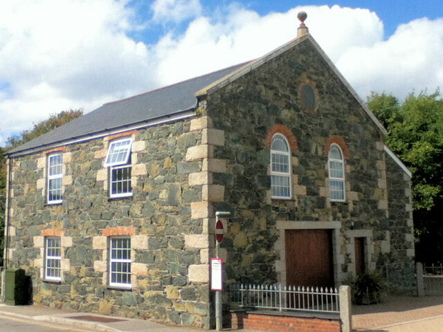
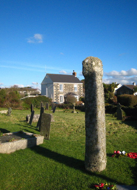
Images are sourced within 2km of 50.0423/-5.227 or Grid Reference SW6820. Thanks to Geograph Open Source API. All images are credited.

Mullion Methodist Church
St Melaine's Church
St Melaine's Church
St Michael's RC Church
Former Wesleyan Chapel
Mullion Garden - with compass rose and water feature In the year 2000, Mullion village underwent various forms of regeneration. One of improvements involved taking over an overgrown and neglected village green and transforming it into 'Mullion Garden'. 

This area is now a peaceful and beautiful community garden. It is an ideal location for relaxing in the sun. As a feature it has a water fountain set at the centre of a compass rose and surrounded by a long typical Cornish stone  wall which is designed to incorporate a long bench.

'Mullion Garden' was formally opened on 4 July 2002.
Mullion Garden - with compass rose and water feature
In the year 2000, Mullion village underwent various forms of regeneration. One of improvements involved taking over an overgrown and neglected village green and transforming it into 'Mullion Garden'. This area is now a peaceful and beautiful community garden. It is an ideal location for relaxing in the sun. As a feature it has a water fountain set at the centre of a compass rose and surrounded by a long typical Cornish stone wall which is designed to incorporate a long bench. 'Mullion Garden' was formally opened on 4 July 2002.
The Old Inn - Mullion This photo with a person outside the thatched building gives some indication of the scale of this old 16th century building now used as a public house.

There is newer building alongside and now all part of the pub. When seen side-by-side the difference in scale of the two buildings from different time periods can be seen very clearly. To see the size comparison follow the link: <a href="https://www.geograph.org.uk/photo/2242772">SW6719 : The Old Inn</a>
The Old Inn - Mullion
This photo with a person outside the thatched building gives some indication of the scale of this old 16th century building now used as a public house. There is newer building alongside and now all part of the pub. When seen side-by-side the difference in scale of the two buildings from different time periods can be seen very clearly. To see the size comparison follow the link: SW6719 : The Old Inn
Heathland vegetation near Penhale This is typical of much of the vegetation on the Lizard.
Heathland vegetation near Penhale
This is typical of much of the vegetation on the Lizard.
St Michael's RC Church at Mullion A miniaturised church - compare with the adjacent house.
St Michael's RC Church at Mullion
A miniaturised church - compare with the adjacent house.
Cornish Kites at Mullion Everything for the kiting enthusiast <span class="nowrap"><a title="http://cornishkites.co.uk/" rel="nofollow ugc noopener" href="http://cornishkites.co.uk/">Link</a><img style="margin-left:2px;" alt="External link" title="External link - shift click to open in new window" src="https://s1.geograph.org.uk/img/external.png" width="10" height="10"/></span>.
Cornish Kites at Mullion
Everything for the kiting enthusiast LinkExternal link.
Some of the wares on offer at Cornish Kites See <a href="https://www.geograph.org.uk/photo/2527939">SW6819 : Cornish Kites at Mullion</a>.
Some of the wares on offer at Cornish Kites
Religious effigy in a wall niche at St Michael's RC Church See <a href="https://www.geograph.org.uk/photo/2527932">SW6819 : St Michael's RC Church at Mullion</a> for context.
Religious effigy in a wall niche at St Michael's RC Church
Eddie's Eggs Sign at the entrance to Trudnoe Farm.
Eddie's Eggs
Sign at the entrance to Trudnoe Farm.
Field of maize at Meaver
Saint Mellanus Church, Mullion, Lizard
Entrance to the churchyard, Mullion
B3296 passes Trecarne Pottery This is also called Meaver Road.
B3296 passes Trecarne Pottery
This is also called Meaver Road.
B3296 passes St Michael's Church
Recycled Wesleyan Chapel I'm assuming that it's no longer used for the original purpose it was built for in 1810, simply because it looks to have a garage entrance and it has no PW on the map.
Recycled Wesleyan Chapel
I'm assuming that it's no longer used for the original purpose it was built for in 1810, simply because it looks to have a garage entrance and it has no PW on the map.
Show me another place!

Bochym Manor is located at Grid Ref: SW6820 (Lat: 50.0423, Lng: -5.227)

Unitary Authority: Cornwall

Police Authority: Devon and Cornwall

What 3 Words

///flotation.settled.curl. Near Mullion, Cornwall

Nearby Locations

Bochym Manor

Related Wikis

Cross Lanes, Cornwall

Cross Lanes is a hamlet in the parish of Cury, Cornwall, England. Cross Lanes lies within the Cornwall Area of Outstanding Natural Beauty (AONB). ��2...

Bonython Manor

Bonython Manor near Cury, Cornwall, England, in the United Kingdom is an estate garden on the Lizard peninsula. Since 1999, the owners have been Mr. &...

Cury

Cury (Cornish: Egloskuri) is a civil parish and village in southwest Cornwall, England, United Kingdom. It is situated approximately four miles (6 km...

St Corentine's Church, Cury

St Corentine's Church, Cury is a Grade I listed parish church in the Church of England in Cury, Cornwall, England, UK. == History == The parish church...

Nearby Amenities

Located within 500m of 50.0423,-5.227
Direction: SW
Generator Method: photovoltaic
Generator Output Electricity: small_installation
Generator Source: solar
Generator Type: solar_photovoltaic_panel
Location: roof
Power: generator
Source: bing
Lat/Long: 50.0431042/-5.220891
Direction: SW
Generator Method: photovoltaic
Generator Output Electricity: small_installation
Generator Source: solar
Generator Type: solar_photovoltaic_panel
Location: roof
Power: generator
Source: bing
Lat/Long: 50.0447953/-5.2228886
Direction: SW
Generator Method: photovoltaic
Generator Output Electricity: small_installation
Generator Source: solar
Generator Type: solar_photovoltaic_panel
Location: roof
Power: generator
Source: bing
Lat/Long: 50.0465359/-5.2261662
Direction: SE
Generator Method: photovoltaic
Generator Output Electricity: small_installation
Generator Source: solar
Generator Type: solar_photovoltaic_panel
Location: roof
Power: generator
Source: bing
Lat/Long: 50.0463016/-5.2263017
Power: pole
Transformer: distribution
Lat/Long: 50.0405234/-5.233148
Power: pole
Lat/Long: 50.0404407/-5.2329764
Power: pole
Lat/Long: 50.0403993/-5.232448
Power: pole
Lat/Long: 50.0403253/-5.2312544
Power: pole
Lat/Long: 50.0402495/-5.229798
Power: pole
Lat/Long: 50.0403838/-5.2292052
Power: pole
Lat/Long: 50.0405423/-5.2286339
Power: pole
Lat/Long: 50.0413106/-5.2281645
Power: pole
Transformer: distribution
Lat/Long: 50.0421288/-5.2276737
The data included in this document is from www.openstreetmap.org. The data is made available under ODbL.

Have you been to Bochym Manor?

Leave your review of Bochym Manor below (or comments, questions and feedback).