Blithfield Hall
Heritage Site in Staffordshire
England
Blithfield Hall
Blithfield Hall is a historic country house located in Blithfield, Staffordshire, England. This magnificent mansion dates back to the 14th century and is recognized as a Grade I listed building, indicating its exceptional architectural and historical significance. Set amidst stunning parkland and surrounded by picturesque gardens, Blithfield Hall is an outstanding example of Jacobean architecture.
The hall boasts an impressive red-brick façade adorned with stone details, showcasing the timeless elegance of the era. Inside, visitors are greeted by a grand entrance hall featuring a superb oak staircase and impressive plasterwork. The main reception rooms are beautifully furnished and exhibit remarkable period features, including stunning fireplaces, intricate woodwork, and ornate plaster ceilings.
The extensive grounds of Blithfield Hall are equally captivating, with rolling lawns, serene lakes, and enchanting woodland areas. The gardens were originally designed by renowned landscape architect Capability Brown in the 18th century and have been meticulously maintained ever since. Visitors can explore the formal gardens, which include a walled garden, rose garden, and a charming orangery.
Blithfield Hall has been in the Bagot family since the 14th century and is still privately owned. The house is occasionally open to the public for guided tours, allowing visitors to immerse themselves in its rich history and architectural splendor. The hall is also a popular venue for weddings, corporate events, and other special occasions, offering a truly unique and unforgettable experience.
Blithfield Hall is not only a cherished heritage site but also a testament to the enduring legacy of the Jacobean period. Its stunning architecture, exquisite interiors, and captivating surroundings make it a must-visit destination for history enthusiasts and admirers of English heritage.
If you have any feedback on the listing, please let us know in the comments section below.
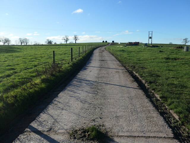
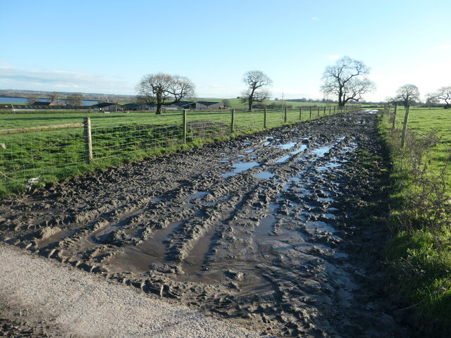
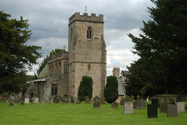
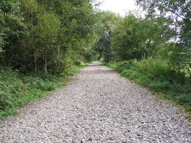
Blithfield Hall Images
Images are sourced within 2km of 52.808/-1.933 or Grid Reference SK0423. Thanks to Geograph Open Source API. All images are credited.

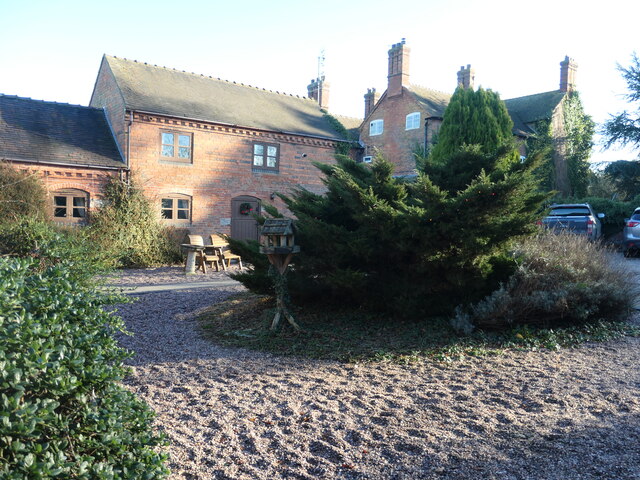
![The old Farmhouse at Moreton Farm [Rear] This old Farmhouse has been empty for many years. It was owned by the Tabernor family until the 1970&#039;s when it was sold to a property developer, all the other buildings have been developed and this old Farmhouse is due for demolition in the near future. <a title="https://www.geograph.org.uk/photo/4756998" href="https://www.geograph.org.uk/photo/4756998">Link</a>](https://s2.geograph.org.uk/geophotos/04/75/95/4759526_545238dc.jpg)


Blithfield Hall is located at Grid Ref: SK0423 (Lat: 52.808, Lng: -1.933)
What 3 Words
///winds.overused.deleting. Near Colwich, Staffordshire
Nearby Locations
Related Wikis

Admaston, Staffordshire
Admaston is a small hamlet in Staffordshire, England just outside the town of Rugeley near to Abbots Bromley and Blithfield Hall.The name Admaston is derived...
Blithfield
Blithfield is a civil parish in the East Staffordshire district of Staffordshire, England. It includes the settlements of Admaston (a small hamlet in Staffordshire...

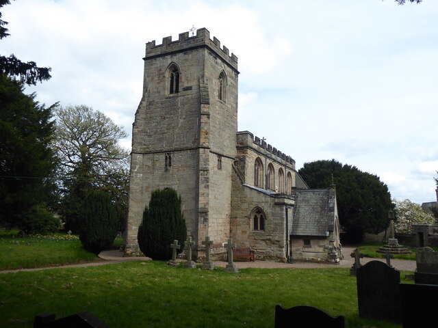
Blithfield Hall
Blithfield Hall (pronounced locally as Bliffield), is a privately owned Grade I listed country house in Staffordshire, England, situated some 9 miles...

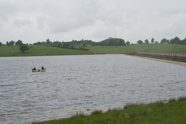
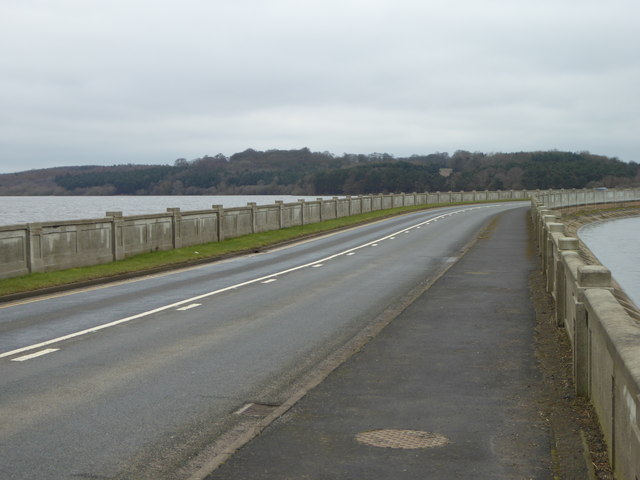
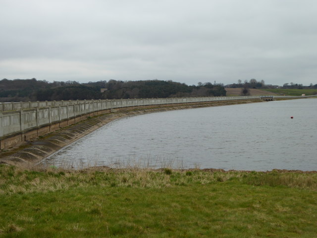
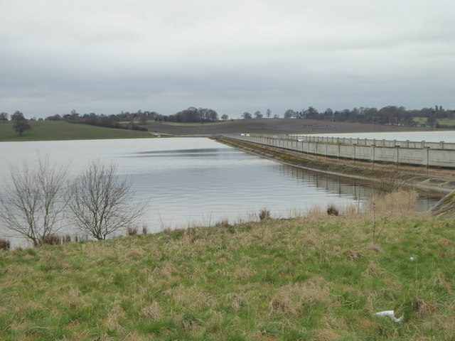
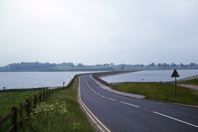
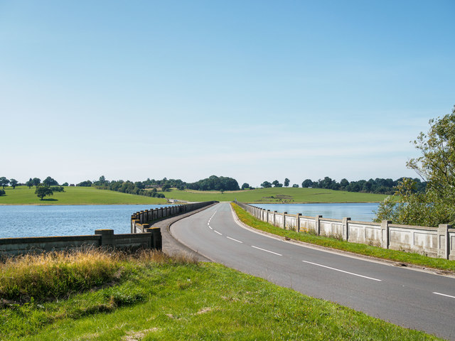
Blithfield Reservoir
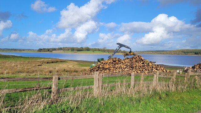
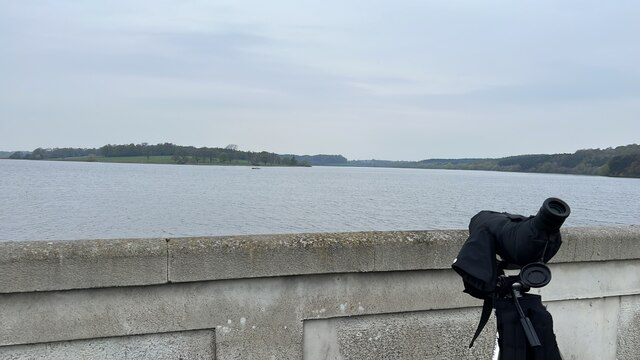
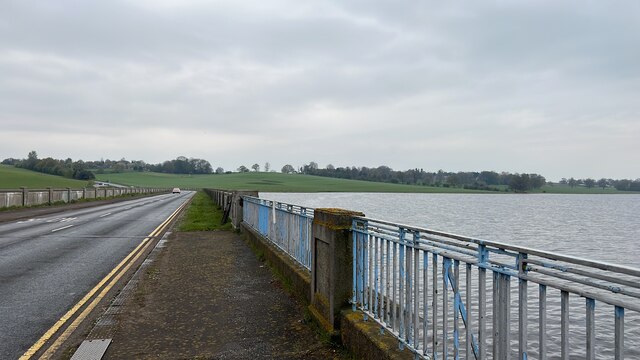
Blithfield Reservoir is a large raw water reservoir in Staffordshire, England, owned by South Staffordshire Water. Some 800 acres (324 hectares) of reservoir...
Staffordshire Way
The Staffordshire Way is a long-distance walk in Staffordshire, England. The path links with the Cheshire Gritstone Trail, the Heart of England Way and...
Colton, Staffordshire
Colton is a village and civil parish in Lichfield District, Staffordshire, England. It is situated just outside the town of Rugeley off the B5013 road...

RAF Abbots Bromley
RAF Abbots Bromley is a former Royal Air Force Relief Landing Ground (RLG) located 0.7 miles (1.1 km) north-west of the village of Abbots Bromley, Staffordshire...

Abbots Bromley
Abbots Bromley is a village and civil parish in the East Staffordshire district of Staffordshire and lies approximately 9.8 miles (15.8 km) east of Stafford...
Nearby Amenities
Located within 500m of 52.808,-1.933Have you been to Blithfield Hall?
Leave your review of Blithfield Hall below (or comments, questions and feedback).