Black Ditch
Heritage Site in Berkshire
England
Black Ditch

Black Ditch, located in Berkshire, England, is a significant heritage site with historical and archaeological importance. It is an ancient linear earthwork that spans approximately 3.2 kilometers (2 miles) in length, running from the village of Finchampstead to the village of Eversley. The earthwork is believed to date back to the Iron Age, with some sections potentially originating from the Bronze Age.
The ditch consists of a deep trench flanked by raised banks on either side, measuring about 10 meters (33 feet) wide and up to 3 meters (10 feet) deep. It runs across various terrains, including fields, woodlands, and marshes. The exact purpose of the Black Ditch remains uncertain, but it is thought to have served as a boundary marker or defensive structure, protecting local settlements from potential threats.
Archaeological investigations have revealed the presence of pottery fragments, animal bones, and other artifacts within the ditch, providing valuable insights into the lives and activities of the people who inhabited the area during ancient times. Additionally, the Black Ditch is believed to have been part of a larger network of earthworks and trackways in the region.
Today, the Black Ditch is recognized as an important heritage site and is protected by law. It attracts visitors interested in history, archaeology, and outdoor enthusiasts, who explore the earthwork and its surroundings. The site offers a glimpse into the ancient past, promoting a deeper understanding of the region's rich cultural heritage.
If you have any feedback on the listing, please let us know in the comments section below.
Black Ditch Images
Images are sourced within 2km of 51.44/-1.332 or Grid Reference SU4671. Thanks to Geograph Open Source API. All images are credited.


Black Ditch is located at Grid Ref: SU4671 (Lat: 51.44, Lng: -1.332)
Unitary Authority: West Berkshire
Police Authority: Thames Valley
What 3 Words
///wove.energy.chair. Near Winterbourne, Berkshire
Nearby Locations
Related Wikis

Mary Hare School
Mary Hare School is a residential co-educational Non-Maintained special school for deaf pupils in Newbury, Berkshire, England. It consists of around 230...

Snelsmore Common
Snelsmore Common is a 104-hectare (260-acre) biological Site of Special Scientific Interest north of Newbury in Berkshire. It is owned by West Berkshire...

Winterbourne, Berkshire
Winterbourne is a village and civil parish in the Berkshire Downs about 3 miles (5 km) north of Newbury in West Berkshire. == Geography == Winterbourne...
Snelsmore
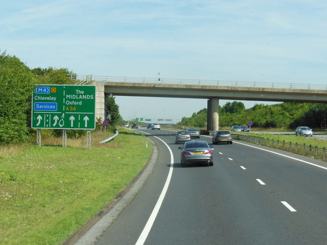
Snelsmore is a hamlet in Berkshire, England, and part of the civil parish of Chieveley. The settlement lies near to junction 13 of the M4 motorway, and...
Nearby Amenities
Located within 500m of 51.44,-1.332Have you been to Black Ditch?
Leave your review of Black Ditch below (or comments, questions and feedback).