Black Cairn
Heritage Site in Aberdeenshire
Scotland
Black Cairn

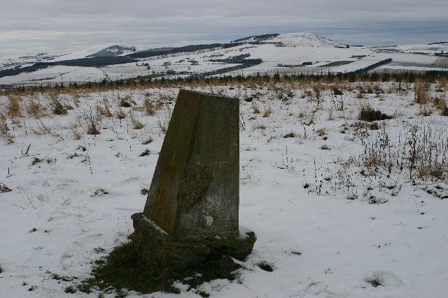
Black Cairn, located in Aberdeenshire, Scotland, is a prominent heritage site that holds great historical and archaeological significance. This ancient monument is believed to date back to the Neolithic period, making it over 4,000 years old. The site is situated on a hilltop, providing breathtaking panoramic views of the surrounding landscape.
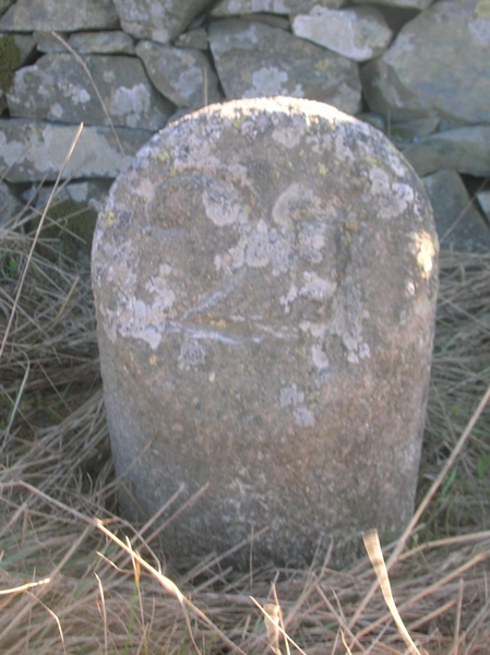
The Black Cairn is a chambered cairn, which consists of a large mound of stones with a central burial chamber. The structure is constructed with carefully placed stones, forming a circular shape with a diameter of approximately 25 meters. The cairn's walls are well-preserved and measure around 2 meters in height.
Archaeologists have uncovered multiple burial chambers within the cairn, most likely used for communal burials. The chambers contain stone-lined compartments, where human remains and various grave goods were discovered, providing valuable insights into the lives and customs of the Neolithic people.
Excavations at the site have also revealed evidence of ritual activities, including the presence of hearths and offerings. Additionally, several carvings and engravings can be found on the stones, depicting symbols and motifs that are yet to be fully understood.
Black Cairn is a popular destination for tourists and history enthusiasts who are fascinated by ancient civilizations. The site offers visitors a chance to explore a well-preserved Neolithic monument, providing a glimpse into Scotland's distant past. Its remote location, surrounded by picturesque landscapes, adds to the site's allure, making it a must-visit destination for those interested in archaeology and history.
If you have any feedback on the listing, please let us know in the comments section below.
Black Cairn Images
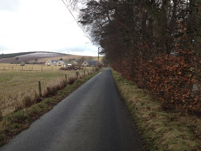
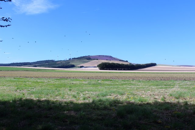
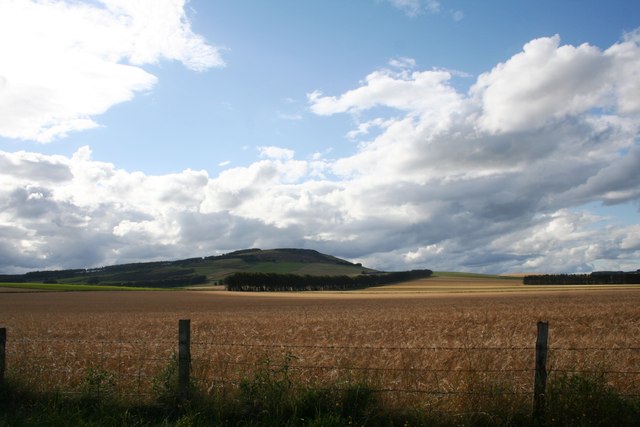
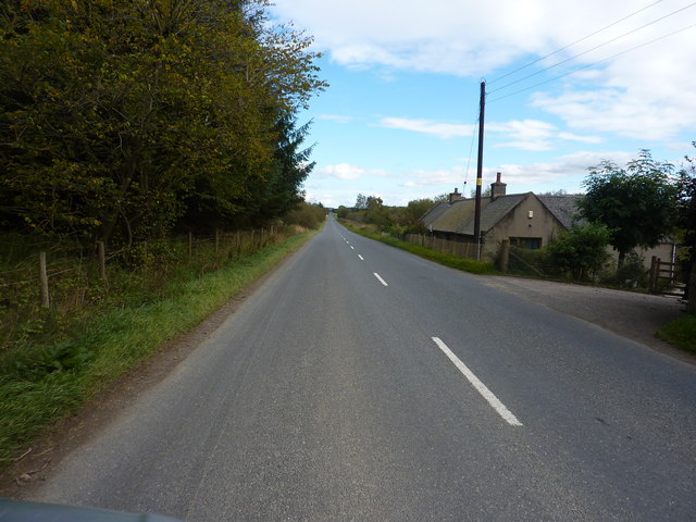
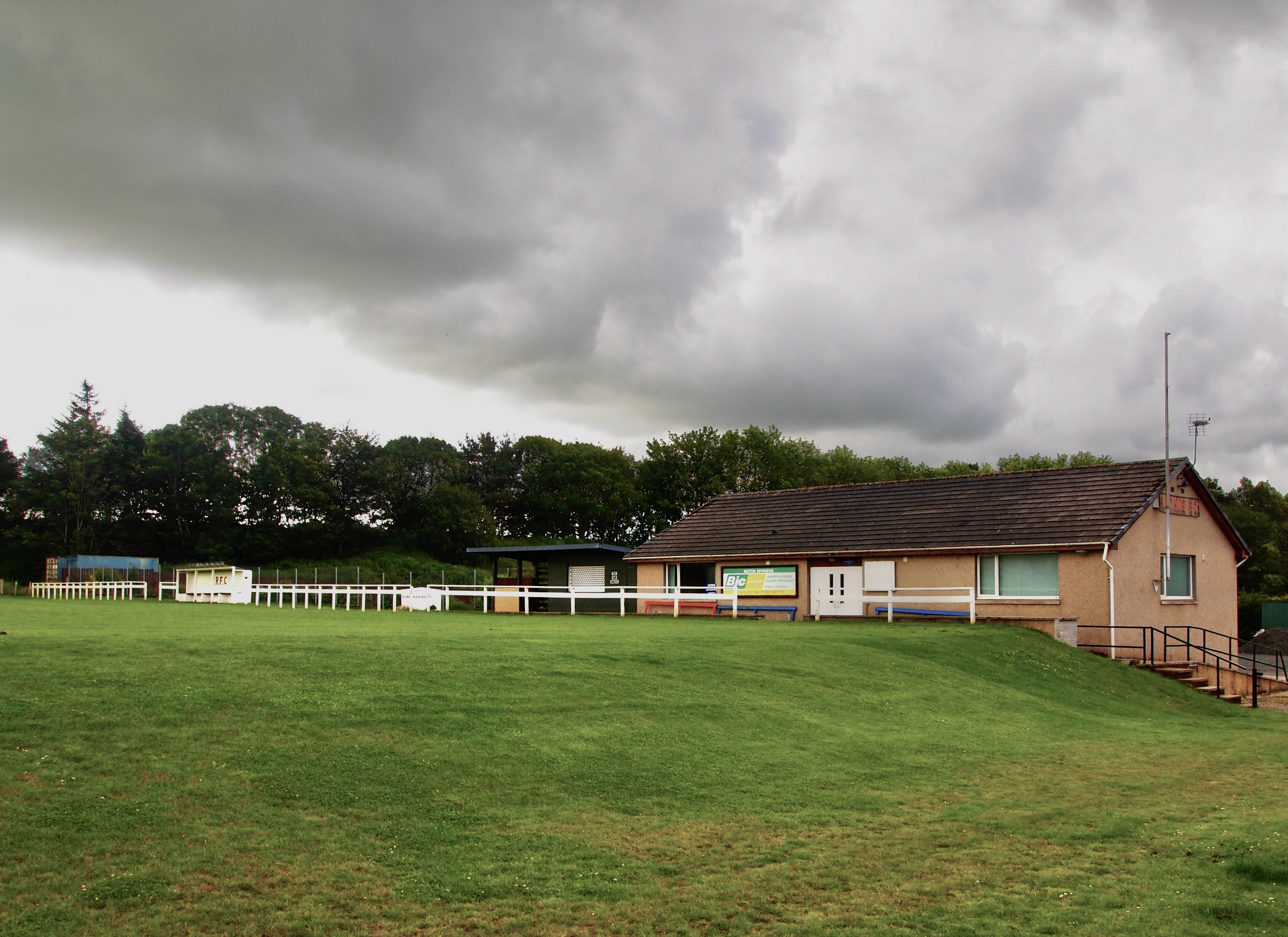
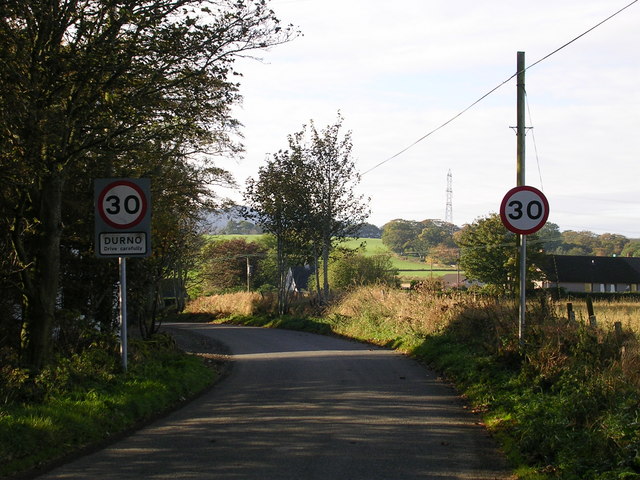
Images are sourced within 2km of 57.392/-2.523 or Grid Reference NJ6833. Thanks to Geograph Open Source API. All images are credited.


Black Cairn is located at Grid Ref: NJ6833 (Lat: 57.392, Lng: -2.523)
Unitary Authority: Aberdeenshire
Police Authority: North East
What 3 Words
///suggested.draw.transcribes. Near Rothienorman, Aberdeenshire
Nearby Locations
Related Wikis

Freefield Castle
Freefield Castle was a castle, about 11.5 miles (18.5 km) north of Inverurie, Aberdeenshire, Scotland, and 1 mile (1.6 km) west of North Rayne.Alternatively...

Bonnyton, Aberdeenshire
Bonnyton is a rural area of Old Rayne in the Garioch area of Aberdeenshire, Scotland.Bonnyton is a small secluded hamlet comprising seven houses, at the...
Rothie Rovers F.C.
Rothie Rovers are a Scottish football club from the village of Rothienorman in Aberdeenshire. They are members of the North Region of the Scottish Junior...
Rothienorman
Rothienorman is a village in Aberdeenshire in north east Scotland. The local economy is based primarily on farming, whilst services are provided by a mobile...

Rothienorman railway station
Rothienorman railway station, Rothie or Rothie Norman was a railway station in Rothienorman, Aberdeenshire on the rural branchline to Macduff. It lay 7...

Badenscoth
Badenscoth (Scottish Gaelic: Bad nan Sgoth) is a rural area near Auchterless in Aberdeenshire, Scotland. == References ==
Meikle Wartle
Meikle Wartle is a small rural village in Aberdeenshire, Scotland. It is around 7 miles north of Inverurie. Local facilities include a village hall dating...
Culsalmond
Culsalmond was a 16th-century castle about 9.5 miles (15.3 km) south east of Huntly, Aberdeenshire, Scotland, near the river Ury. == History == The castle...
Have you been to Black Cairn?
Leave your review of Black Cairn below (or comments, questions and feedback).