Beighton
Settlement in Derbyshire
England
Beighton
Beighton is a village located in the county of Derbyshire, in the East Midlands region of England. It is situated approximately eight miles east of the city of Sheffield and six miles south of Rotherham. The village falls within the administrative boundaries of the Borough of Rotherham.
With a population of around 3,500 people, Beighton is a small but vibrant community that offers a range of amenities and services. The village has a local primary school, a few shops, including a supermarket, and a selection of pubs and restaurants. There is also a community center that hosts various events and activities throughout the year.
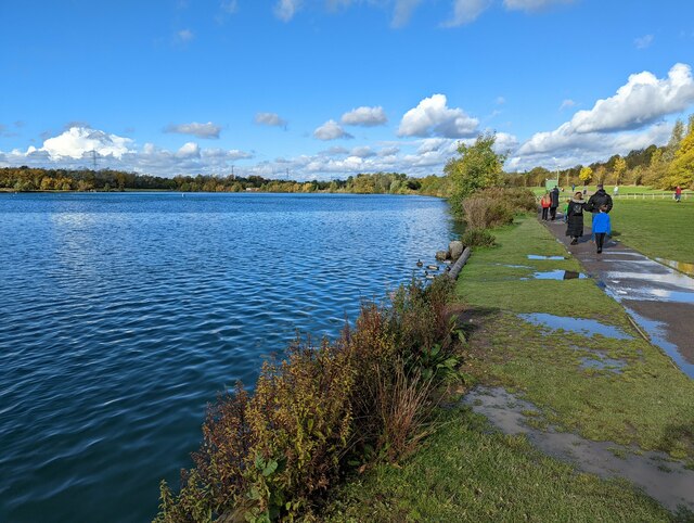
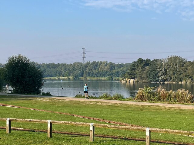
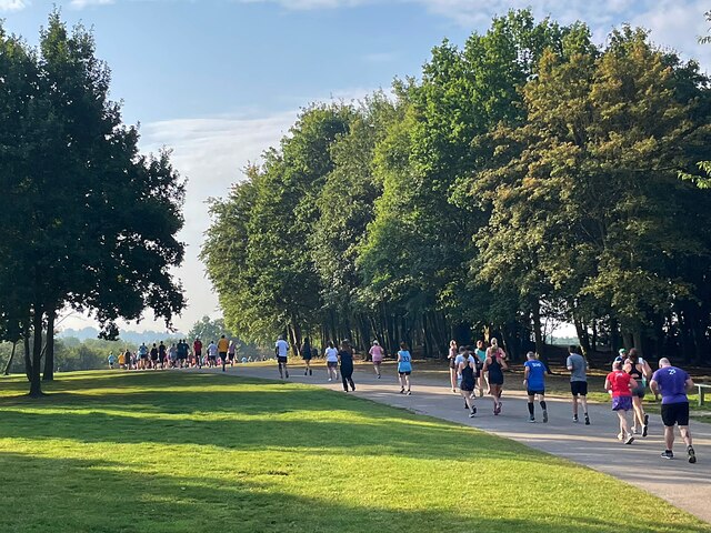
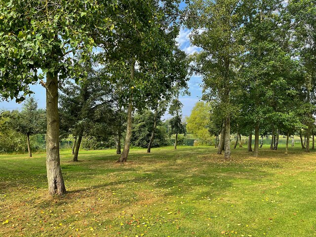
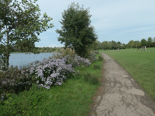
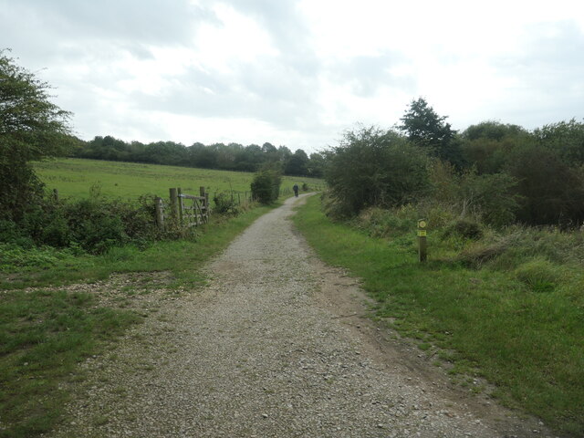
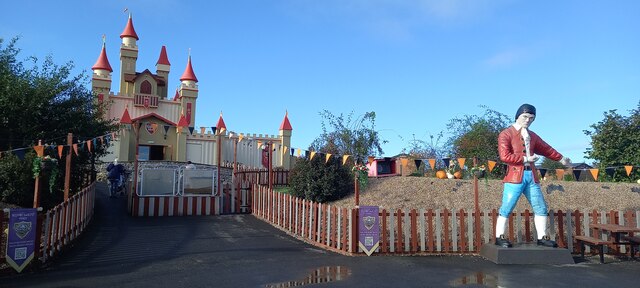
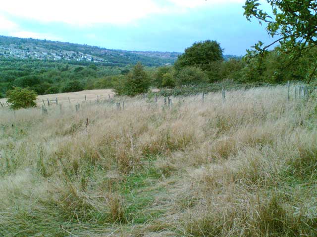
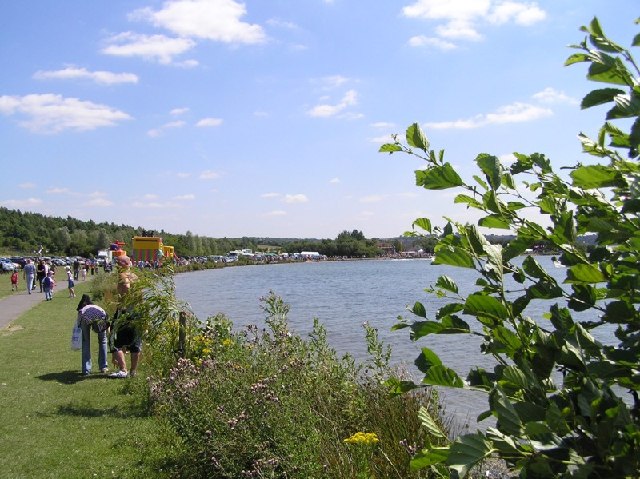
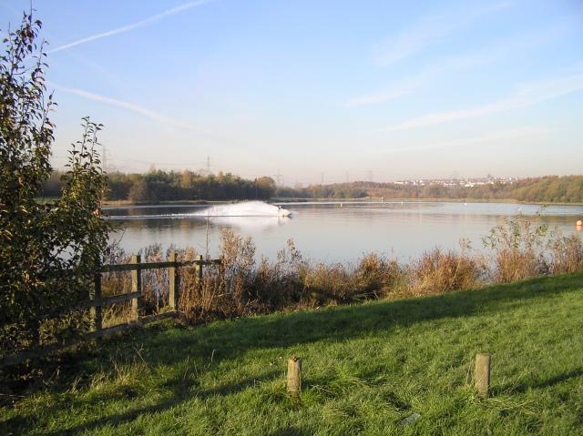
Beighton is surrounded by picturesque countryside and is close to several nature reserves, making it an ideal location for outdoor enthusiasts. Nearby is the Rother Valley Country Park, which offers a wide range of recreational activities, including water sports, cycling, and walking trails.
Transport links in Beighton are excellent, with easy access to the M1 motorway, providing connections to major cities in the region. The village is also served by regular bus services, ensuring convenient travel to neighboring towns and cities.
Overall, Beighton is a peaceful village with a strong sense of community. Its convenient location, natural beauty, and range of amenities make it an attractive place to live for those seeking a balance between rural charm and urban convenience.
If you have any feedback on the listing, please let us know in the comments section below.
Beighton Images
Images are sourced within 2km of 53.347011/-1.341274 or Grid Reference SK4383. Thanks to Geograph Open Source API. All images are credited.
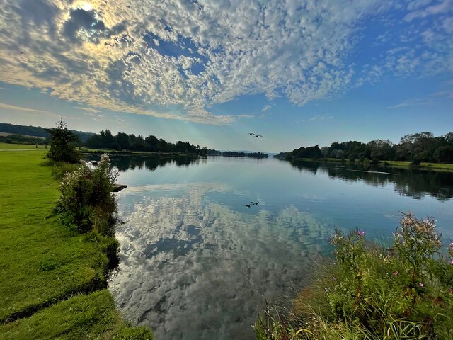
![River Rother, Rother Valley country park Looking downstream [locally north] from Pit Lane bridge. For more information and a view of the river sixteen years earlier, see <a href="https://www.geograph.org.uk/photo/539706">SK4583 : River Rother, near Waleswood</a>.](https://s1.geograph.org.uk/geophotos/07/62/10/7621001_cc33bb09.jpg)


Beighton is located at Grid Ref: SK4383 (Lat: 53.347011, Lng: -1.341274)
Unitary Authority: Sheffield
Police Authority: South Yorkshire
What 3 Words
///drift.gallons.patch. Near Beighton, South Yorkshire
Nearby Locations
Related Wikis

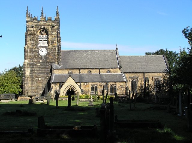
Church of St Mary the Virgin, Beighton
The Church of St Mary the Virgin is situated in Beighton, a suburb of the City of Sheffield, England. It is located just off High Street, it is the parish...
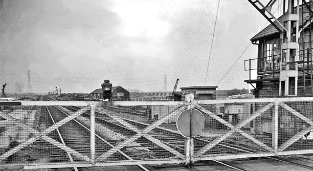
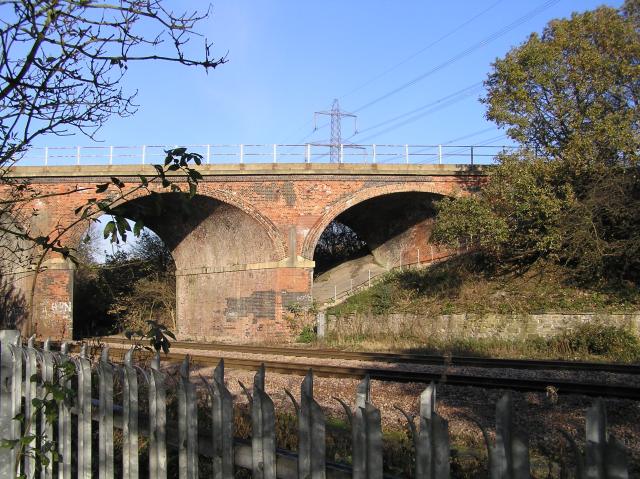
Beighton railway station
Beighton railway station is a former railway station near the village of Beighton on the border between Derbyshire and South Yorkshire, England. ��2...

Ochre Dyke
The Ochre Dyke is a small stream in the south eastern part of the City of Sheffield in South Yorkshire, England. It rises some 100m to the east/south east...
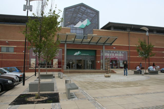
Crystal Peaks
Crystal Peaks is a shopping centre and retail park in Sheffield, South Yorkshire, England. Established in 1988, the centre attracts around 11 million visitors...
Nearby Amenities
Located within 500m of 53.347011,-1.341274Have you been to Beighton?
Leave your review of Beighton below (or comments, questions and feedback).