Berry Ring

Heritage Site in Staffordshire

England

Berry Ring

Strawberry fields forever! Giant polytunnels housing strawberry plants, just ready for harvesting.
Strawberry fields forever! Credit: Eirian Evans

Berry Ring is a renowned heritage site located in Staffordshire, England. This historic landmark holds great significance due to its historical and archaeological importance. Situated atop a hill near the village of Abbots Bromley, Berry Ring is an ancient Iron Age hillfort that dates back to the late Bronze Age and early Iron Age, with evidence of occupation from around 1000 BC.

The hillfort encompasses an area of approximately 7 hectares and is surrounded by impressive earthworks, consisting of a double rampart and ditch system. The inner rampart is larger and taller, indicating a defensive nature, while the outer rampart served as an additional line of defense. These earthworks were constructed using locally sourced materials, such as clay, gravel, and soil.

Excavations at Berry Ring have revealed the remains of roundhouses and storage pits, providing valuable insights into the daily lives of its inhabitants. The site was likely occupied by a small farming community, engaging in agriculture and animal husbandry. Archaeologists have also discovered pottery shards, tools, and other artifacts, suggesting a thriving Iron Age settlement.

Today, Berry Ring continues to captivate visitors with its impressive earthworks and panoramic views of the surrounding countryside. The site is accessible to the public, allowing visitors to explore the well-preserved remnants of this ancient hillfort. With its rich history and scenic beauty, Berry Ring stands as a testament to the enduring legacy of the Iron Age people who once called it home.

If you have any feedback on the listing, please let us know in the comments section below.
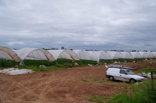
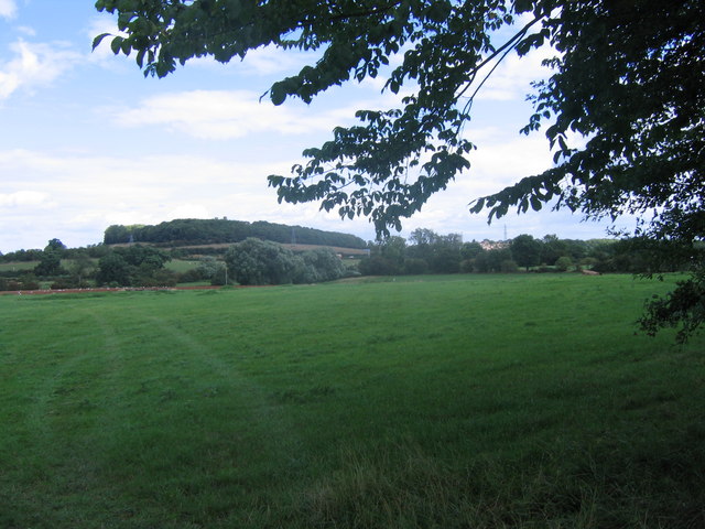
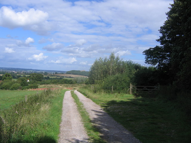
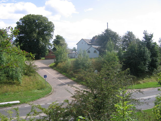
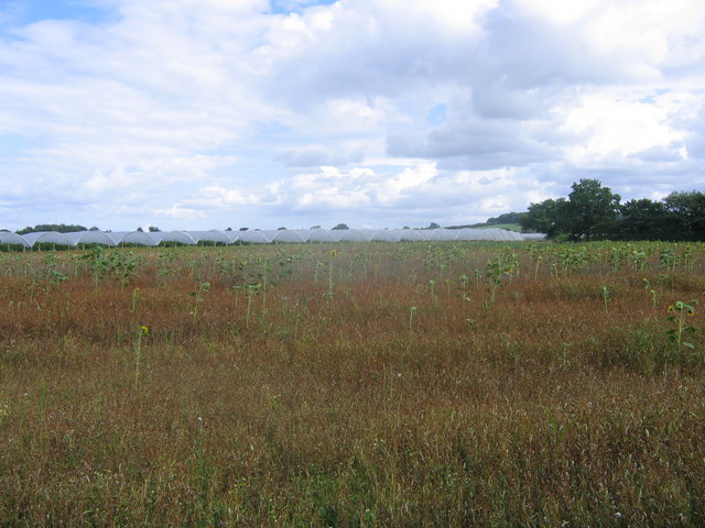
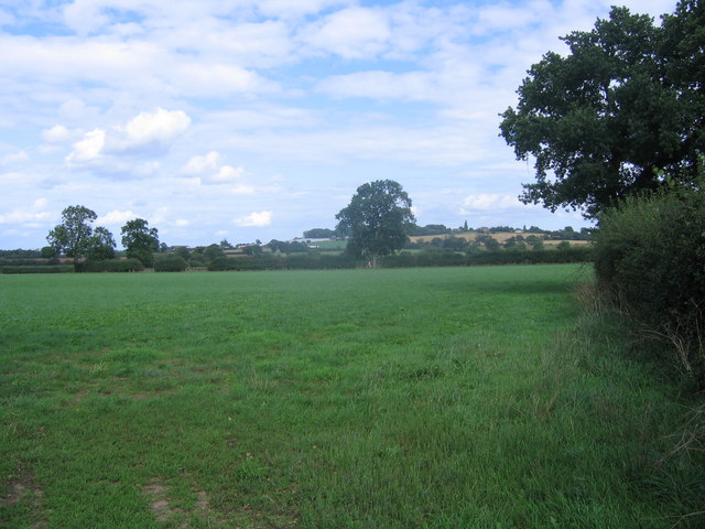
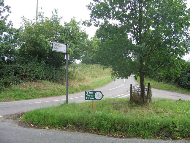
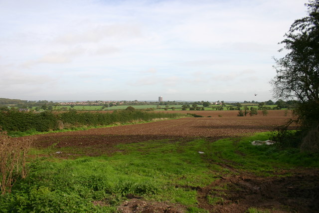
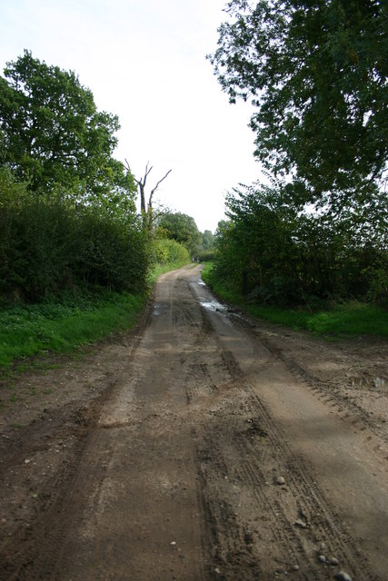
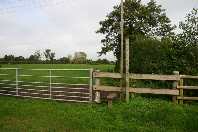
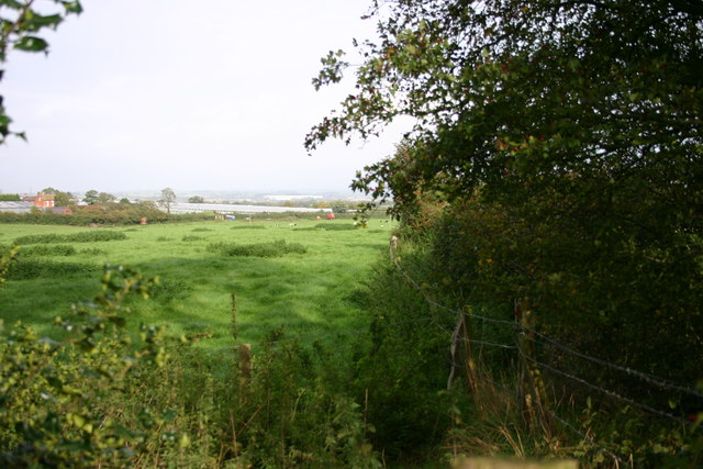
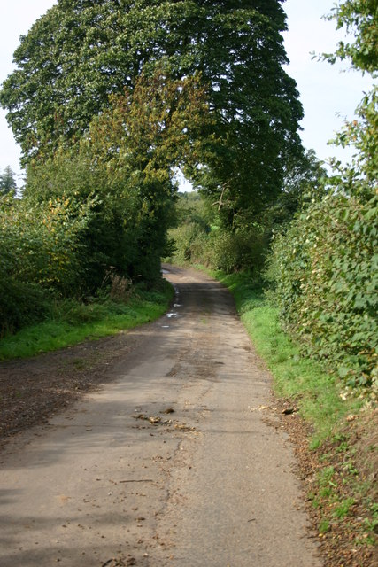
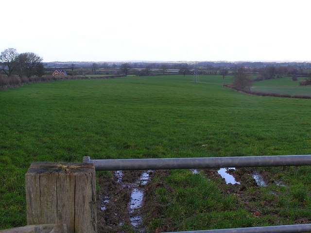
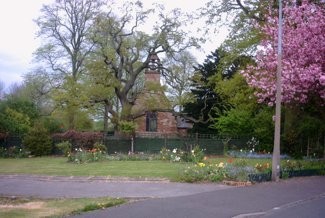
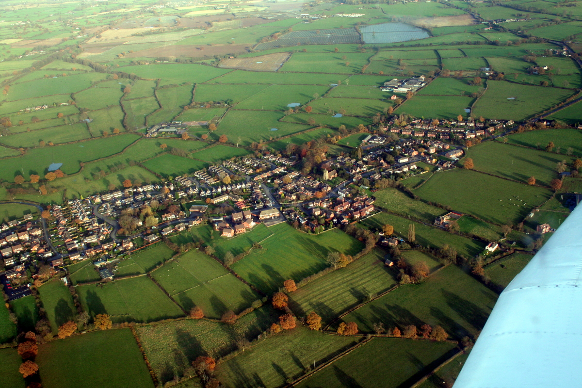
Berry Ring Images

Images are sourced within 2km of 52.79/-2.17 or Grid Reference SJ8821. Thanks to Geograph Open Source API. All images are credited.

Strawberry fields forever! Giant polytunnels housing strawberry plants, just ready for harvesting.
Strawberry fields forever!
Giant polytunnels housing strawberry plants, just ready for harvesting.
Grassy Field Looking across fields near Derrington, across the M6 ,which is this side of the pylon line to Stafford Castle, just poking above the trees.
Grassy Field
Looking across fields near Derrington, across the M6 ,which is this side of the pylon line to Stafford Castle, just poking above the trees.
Farm entrance The narrow country lane from Doxey to Haughton takes a sharp left hand bend here and makes a cross roads with a farm entrance and a farm lane
Farm entrance
The narrow country lane from Doxey to Haughton takes a sharp left hand bend here and makes a cross roads with a farm entrance and a farm lane
Track at Bury Ring The earthworks of the iron age hill fort of Bury Ring is in the trees to the right, while a later generation of fort (but still very old), that of Stafford Castle, can be seen in the woods in the distance.
Track at Bury Ring
The earthworks of the iron age hill fort of Bury Ring is in the trees to the right, while a later generation of fort (but still very old), that of Stafford Castle, can be seen in the woods in the distance.
Billington Looking from the road to Bury Ring earthworks to Billington Farm across the A518
Billington
Looking from the road to Bury Ring earthworks to Billington Farm across the A518
Scattered sunflowers in field A field with seemingly random sunflowers
Scattered sunflowers in field
A field with seemingly random sunflowers
Grassy field An empty grassy field. The trees on the high ground on the horizon mark the earthworks of an iron age fort, called Bury Ring
Grassy field
An empty grassy field. The trees on the high ground on the horizon mark the earthworks of an iron age fort, called Bury Ring
Old railway bridge The railway line from Stafford to Newport used to cross this bridge. The track bed has recently been converted to a sustrans cycle route.
Old railway bridge
The railway line from Stafford to Newport used to cross this bridge. The track bed has recently been converted to a sustrans cycle route.
Crossroads A crossroad of country lanes (as another lane unseen in photo goes left)
Crossroads
A crossroad of country lanes (as another lane unseen in photo goes left)
Fields off Billington Bank, Stafford A view of fields from an unnamed lane off the brow of Billington bank near Stafford. On the horizon in the distance is 'The Keep', a block of flats on the Highfields Estate in Stafford. There used to be a second block but that was brought down and new housing built.
Fields off Billington Bank, Stafford
A view of fields from an unnamed lane off the brow of Billington bank near Stafford. On the horizon in the distance is 'The Keep', a block of flats on the Highfields Estate in Stafford. There used to be a second block but that was brought down and new housing built.
Unnamed Lane to Leese Farm At the end of this unnamed lane is a public footpath and Leese Farm which can just be seen (the two white features are the windows!).
Unnamed Lane to Leese Farm
At the end of this unnamed lane is a public footpath and Leese Farm which can just be seen (the two white features are the windows!).
Public footpath off Brazenhill Lane, Haughton This public footpath leads nowhere in particular, but meets up with other paths that go across lovely peaceful countryside.
Public footpath off Brazenhill Lane, Haughton
This public footpath leads nowhere in particular, but meets up with other paths that go across lovely peaceful countryside.
A Field next to Billington Bank, Stafford This field is next to Billington Bank (A518) which is just beyond the distant hedge. Over the other side of the road are cold frames which produce strawberries for supermarkets.
A Field next to Billington Bank, Stafford
This field is next to Billington Bank (A518) which is just beyond the distant hedge. Over the other side of the road are cold frames which produce strawberries for supermarkets.
Un-named Lane off Billington Bank, Stafford This lane is leading to the A518, Billington Bank near Stafford.
Un-named Lane off Billington Bank, Stafford
This lane is leading to the A518, Billington Bank near Stafford.
Leese Farm from Thorneyfields Lane
St Matthews Church, Derrington A view of St Matthews Church, Derrington, from St Matthews Drive by the junction of Church Lane. (I was at work when I spied this view, which was so 'captivating' as I drove past that I had to stop, reverse my car, and take a picture - as well as soak up the view for a few minutes!).
St Matthews Church, Derrington
A view of St Matthews Church, Derrington, from St Matthews Drive by the junction of Church Lane. (I was at work when I spied this view, which was so 'captivating' as I drove past that I had to stop, reverse my car, and take a picture - as well as soak up the view for a few minutes!).
On 'The Way for the Millennium' This is a neglected, or should I say under used, footpath and cycleway following the route of the Stafford to Newport (Salop) railway line.
On 'The Way for the Millennium'
This is a neglected, or should I say under used, footpath and cycleway following the route of the Stafford to Newport (Salop) railway line.
Footpath across the old railway line
Show me another place!

Berry Ring is located at Grid Ref: SJ8821 (Lat: 52.79, Lng: -2.17)

What 3 Words

///tinny.chart.images. Near Stafford, Staffordshire

Nearby Locations

Berry Ring

Related Wikis

Berry Ring

Berry Ring (also known as Bury Ring) is an Iron Age hillfort in Staffordshire, England, lying some two miles southwest of the county town of Stafford,...

Derrington

Derrington is a village west of the town of Stafford, in Staffordshire, England. For population details from the 2011 Census see under Seighford. Derrington...

Stafford Rural District

Stafford Rural District was a rural district in the county of Staffordshire. It was created in 1894 and abolished in 1974 by virtue of the Local Government...

Aston, Stafford

Aston is a hamlet in the county of Staffordshire, England. Aston was recorded in the Domesday Book as Estone. == References ==

Stafford Castle

Stafford Castle is an ancient Grade II listed castle situated two miles west of the town of Stafford in Staffordshire, England. From the time of the Norman...

Haughton, Staffordshire

Haughton is a village in Staffordshire, England, approximately 4 miles outside and to the west of the county town of Stafford. It lies on the A518 between...

Brazenhill

Brazenhill is rural area immediately north of the village of Haughton in Staffordshire, England. It is effectively defined by Brazenhill Lane which is...

Haughton railway station

Haughton railway station was a station in Haughton, Staffordshire, England. The station was opened on 1 June 1849 and closed in May 1949. == References... ==

Nearby Amenities

Located within 500m of 52.79,-2.17
Berry Ring Hill Fort
Archaeological Site: fortification
Fortification Type: hill_fort
Historic: archaeological_site
Lat/Long: 52.7880255/-2.1683568
The data included in this document is from www.openstreetmap.org. The data is made available under ODbL.

Have you been to Berry Ring?

Leave your review of Berry Ring below (or comments, questions and feedback).