Bentley Hall
Heritage Site in Derbyshire
England
Bentley Hall
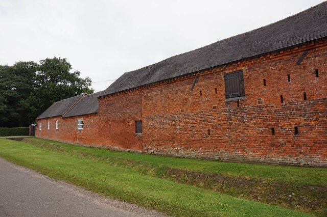
Bentley Hall is a historic country house located in Derbyshire, England. Situated in the picturesque village of Bentley, the hall is a well-preserved heritage site that offers a glimpse into the region's rich architectural and cultural history.
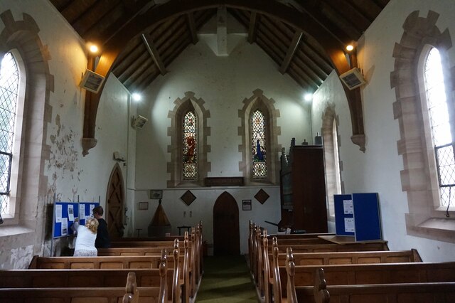
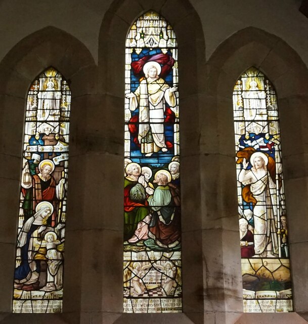
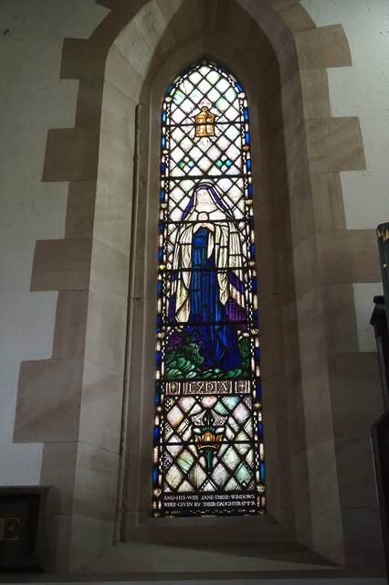
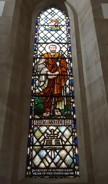
Built in the early 17th century, Bentley Hall is a magnificent example of Jacobean architecture. The house features a symmetrical façade with mullioned windows, intricate stone carvings, and a grand entrance porch. The interior of the hall is equally impressive, with ornate plasterwork, wood paneling, and elegant fireplaces.
The hall is surrounded by beautifully landscaped gardens, which were designed in the 18th century. The gardens boast a variety of features, including a formal parterre, a walled garden, and a serene lake. Visitors can explore the well-maintained paths that wind through the grounds, offering breathtaking views of the surrounding countryside.
Over the years, Bentley Hall has had various owners, each leaving their mark on the property. Notably, the hall was extensively renovated in the 19th century, adding Victorian elements to the original Jacobean structure. Today, the hall is owned by a charitable trust and is open to the public.
In addition to its architectural significance, Bentley Hall is also known for its cultural heritage. The hall has been the setting for numerous films and television series, further enhancing its reputation as an important historical landmark.
Overall, Bentley Hall in Derbyshire is a captivating heritage site that showcases the region's rich history and architectural splendor. Its stunning architecture, picturesque gardens, and cultural significance make it a must-visit destination for history enthusiasts and nature lovers alike.
If you have any feedback on the listing, please let us know in the comments section below.
Bentley Hall Images
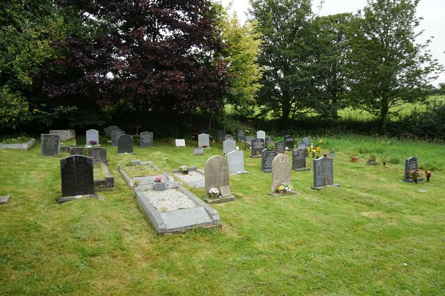
Images are sourced within 2km of 52.943/-1.74 or Grid Reference SK1738. Thanks to Geograph Open Source API. All images are credited.

Bentley Hall is located at Grid Ref: SK1738 (Lat: 52.943, Lng: -1.74)
What 3 Words
///indicated.decking.internal. Near Mayfield, Staffordshire
Nearby Locations
Related Wikis

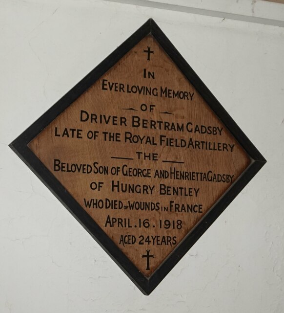
Hungry Bentley
Hungry Bentley is a deserted medieval village and civil parish in the Derbyshire Dales district of Derbyshire, England, between Uttoxeter and Derby. The...

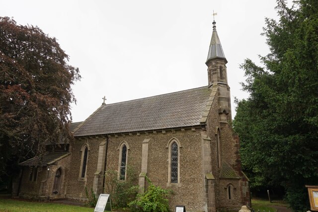
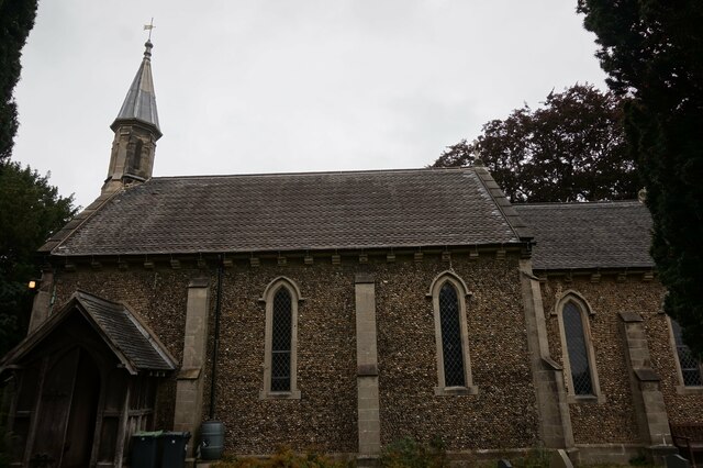
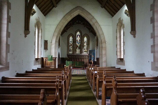
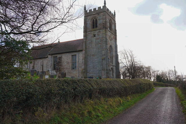
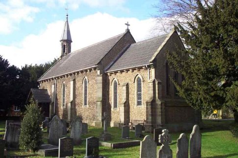
St Andrew's Church, Cubley
St Andrew's Church, Cubley is a Grade I listed parish church in the Church of England in Cubley, Derbyshire. == History == The church dates from the mid...
Cubley, Derbyshire
Cubley is a parish of two closely linked villages six miles (10 km) south of Ashbourne in Derbyshire. Great Cubley and Little Cubley are known collectively...
Alkmonton
Alkmonton is a village and civil parish in the Derbyshire Dales district of Derbyshire, England, roughly between Uttoxeter and Derby. The parish had a...

Stydd Hall
Stydd Hall (Castle) is a country house located near to the village of Yeaveley, Derbyshire, 15 miles (24 km) west of Derby, close to the A515 between Wyaston...

Yeaveley Preceptory
Yeaveley Preceptory, also known as Stydd Preceptory, was a preceptory of the Knights Hospitaller, near the village of Yeaveley, in Derbyshire, England...

Alkmonton medieval settlement
Alkmonton medieval settlement is an archaeological site, a deserted medieval village near the present-day village of Alkmonton, about 5 miles (8 km) south...
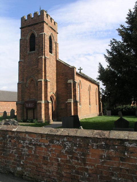
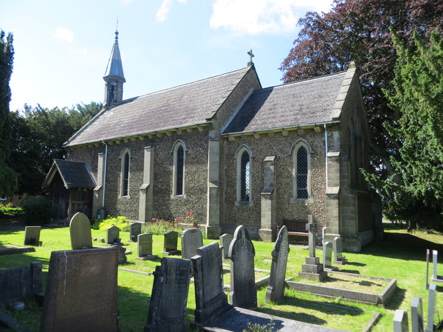
Holy Trinity Church, Yeaveley
Holy Trinity Church, Yeaveley is a Grade II listed parish church in the Church of England: 362 in Yeaveley, Derbyshire. == History == The foundation stone...
Nearby Amenities
Located within 500m of 52.943,-1.74Have you been to Bentley Hall?
Leave your review of Bentley Hall below (or comments, questions and feedback).