Melin-y-wig

Settlement in Merionethshire

Wales

Melin-y-wig

Valley near Melin-y-Wig Valley to the north of near Melin-y-Wig.
Valley near Melin-y-Wig Credit: Philip Halling

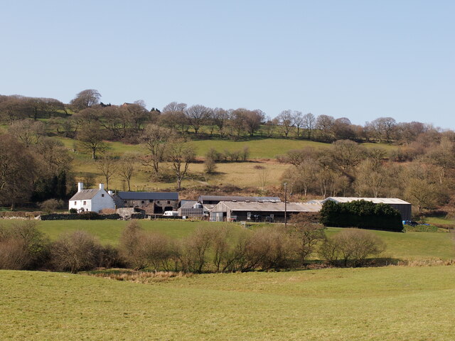
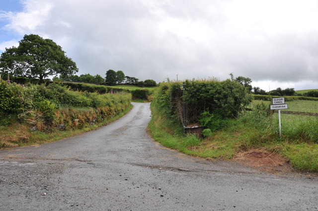
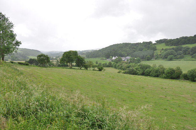
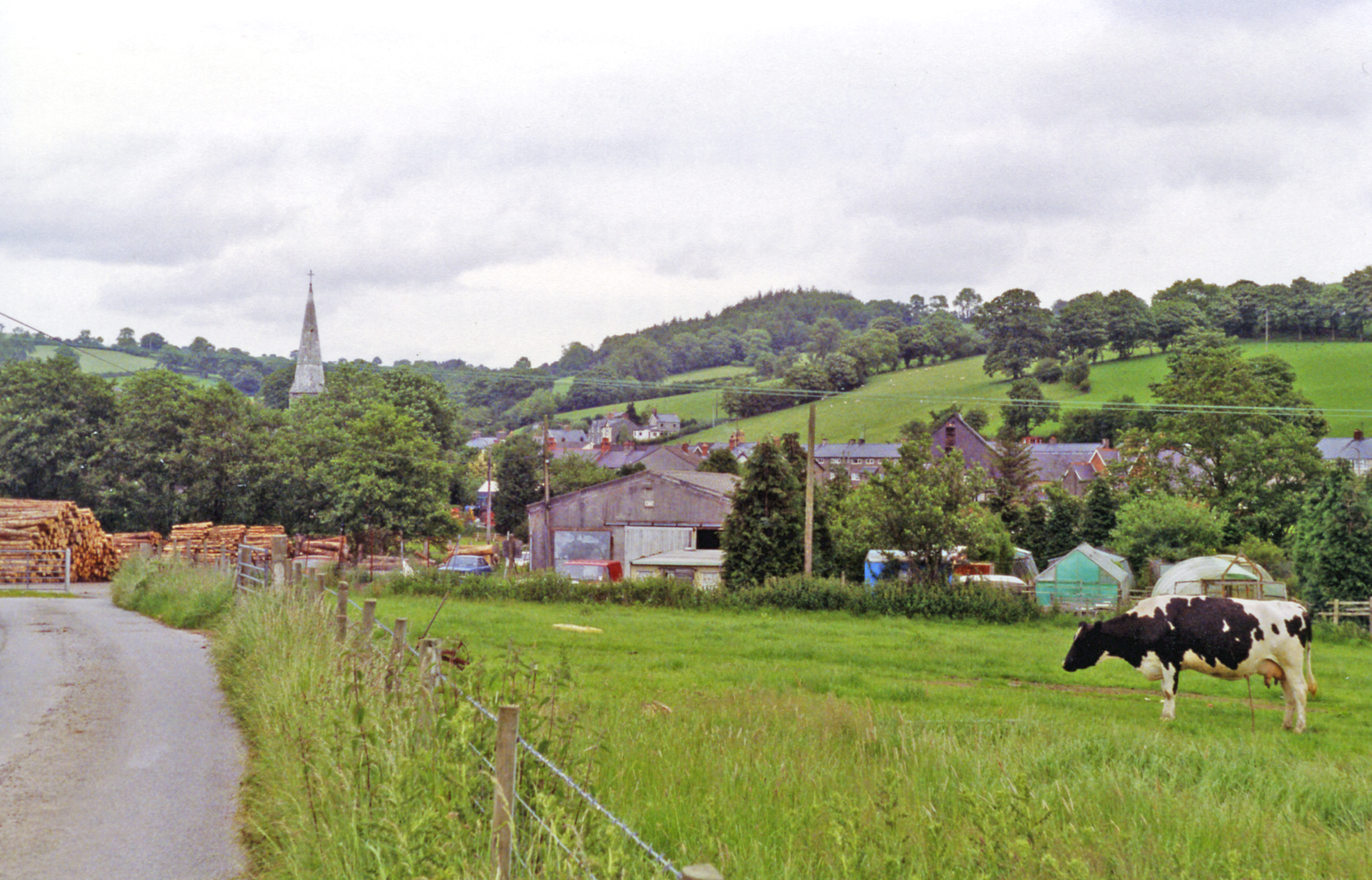
Melin-y-wig is a small village located in the county of Merionethshire, Wales. Situated in the picturesque valley of the River Dyfi, it is surrounded by rolling hills and lush green landscapes. The village is situated approximately 5 miles northeast of the town of Machynlleth and is easily accessible via the A487 road.

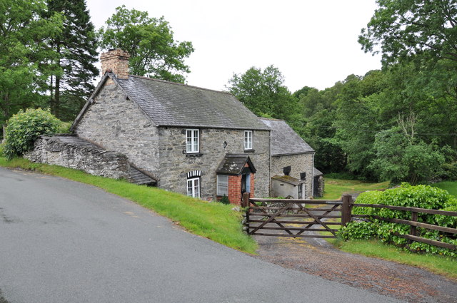
One of the defining features of Melin-y-wig is its historic water mill, after which the village is named. The mill, which dates back to the 18th century, is still operational and provides a glimpse into the area's rich industrial heritage. Visitors can explore the mill and witness the traditional milling process, which has been preserved over the years.

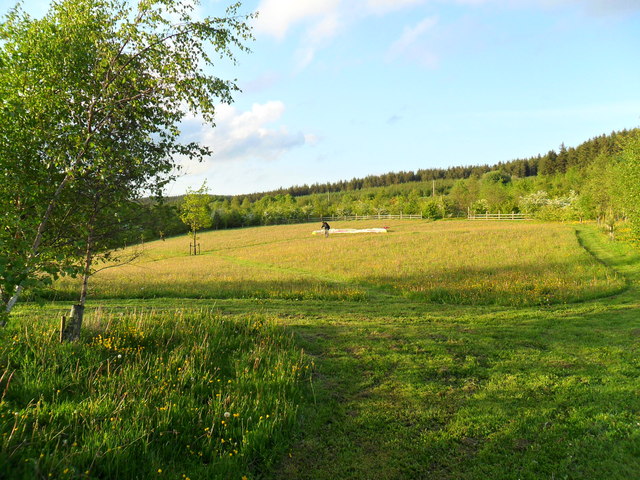
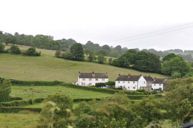
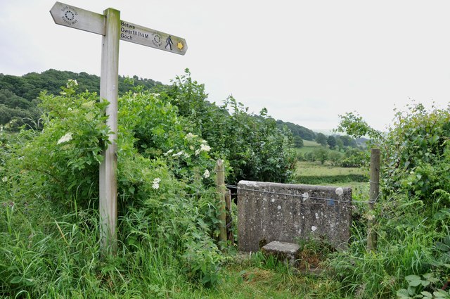
The village itself is relatively small, with a close-knit community that takes pride in its rural surroundings. It offers a peaceful and tranquil atmosphere, making it an ideal destination for those looking to escape the hustle and bustle of city life. The surrounding countryside provides ample opportunities for outdoor activities such as hiking, cycling, and fishing.

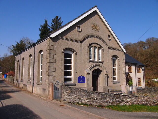
Despite its small size, Melin-y-wig is not lacking in amenities. The village boasts a local pub, serving traditional Welsh cuisine and offering a warm welcome to visitors. Additionally, nearby Machynlleth provides a wider range of services, including shops, restaurants, and accommodation options.

Overall, Melin-y-wig is a charming village nestled in the heart of the Welsh countryside, offering a glimpse into the region's history and providing a peaceful retreat for those seeking a rural escape.

If you have any feedback on the listing, please let us know in the comments section below.
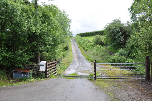
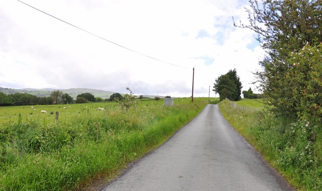
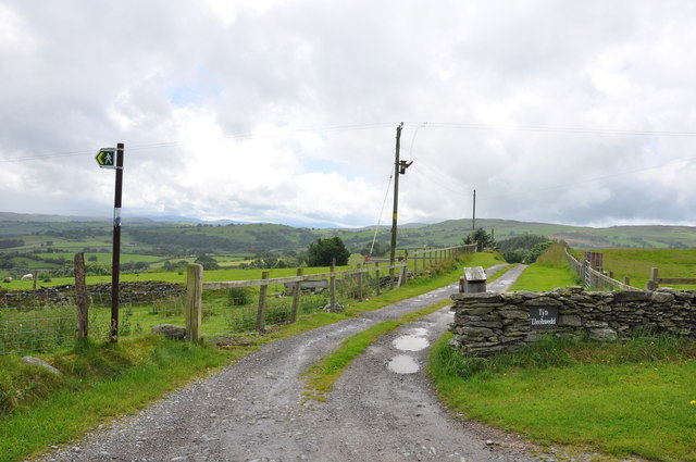
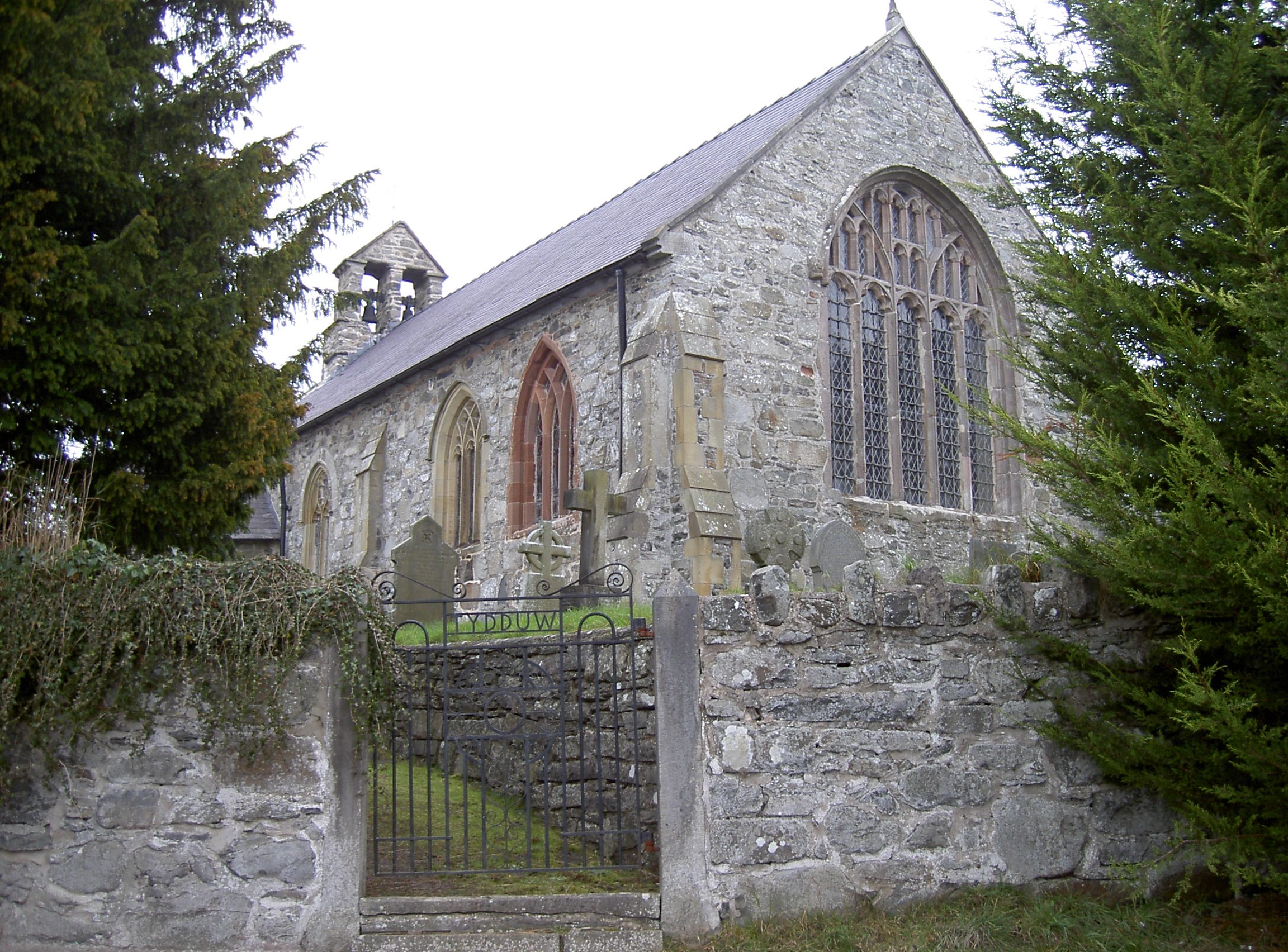
Melin-y-wig Images

Images are sourced within 2km of 53.027314/-3.433108 or Grid Reference SJ0348. Thanks to Geograph Open Source API. All images are credited.

Valley near Melin-y-Wig Valley to the north of near Melin-y-Wig.
Valley near Melin-y-Wig
Valley to the north of near Melin-y-Wig.
Farmland in the Clwyd valley View across farmland in the Clwyd valley to the south of the Clocaenog forest.
Farmland in the Clwyd valley
View across farmland in the Clwyd valley to the south of the Clocaenog forest.
Road above the Clwyd valley Road above the Clwyd valley and to the south of Clocaenog forest.
Road above the Clwyd valley
Road above the Clwyd valley and to the south of Clocaenog forest.
Ty Cerrig Upland farm between Derwen and Melin-y-Wig
Ty Cerrig
Upland farm between Derwen and Melin-y-Wig
Freckle-faced sheep
Freckle-faced sheep
Bodynlliw
Bodynlliw
Capel Bethel, Melin-y-Wig
Trig point of Mynydd Rhyd ddu Mynydd Rhyd ddu is a hill rising to 389m and now home to several wind generators, two of which are seen in this view in which the Clwydian Hills can also be seen distantly.
Trig point of Mynydd Rhyd ddu
Mynydd Rhyd ddu is a hill rising to 389m and now home to several wind generators, two of which are seen in this view in which the Clwydian Hills can also be seen distantly.
Rough grazing on Mynydd Rhyd ddu The view here is to the north from north-east of the highest point of Mynydd Rhyd ddu. As can be seen much of the summit area is moorland in nature.
Rough grazing on Mynydd Rhyd ddu
The view here is to the north from north-east of the highest point of Mynydd Rhyd ddu. As can be seen much of the summit area is moorland in nature.
Coed Keri at Hafotty Newydd During our tenure, the 11 acre smallholding at Hafotty Newydd slowly evolved into a lush nature reserve. An oasis in a desert of sheep and pheasant rearing sterility. 
My wife (Keri) planted several thousand native deciduous trees there covering about 6 of the 11 acres.  We left a few small meadow areas for wild flowers and one large one in the middle called Ffridd.  This is it and that is me testing my paraglider for size.  The young trees you can see form part of Coed Keri.  Yes, she achieved immortality through her name on OS maps, whereas I will leave nought but my footprints.
Coed Keri at Hafotty Newydd
During our tenure, the 11 acre smallholding at Hafotty Newydd slowly evolved into a lush nature reserve. An oasis in a desert of sheep and pheasant rearing sterility. My wife (Keri) planted several thousand native deciduous trees there covering about 6 of the 11 acres. We left a few small meadow areas for wild flowers and one large one in the middle called Ffridd. This is it and that is me testing my paraglider for size. The young trees you can see form part of Coed Keri. Yes, she achieved immortality through her name on OS maps, whereas I will leave nought but my footprints.
Track up to two farms. Clegir Canol and Clegir Isaf
View from the Melin-y-Wig road Only about a quarter of the first field is in this square, as the road follows close to the edge of the square, but I thought it was a nice view.
View from the Melin-y-Wig road
Only about a quarter of the first field is in this square, as the road follows close to the edge of the square, but I thought it was a nice view.
Looking over trees with Melin-y-Wig in the background
An unusual Stile and Footpath to Bettws Gwerfil Goch If you ever decide to walk this footpath, please do not try jumping over this concrete block, as there is an 8 to 10 foot drop on the other side with a flight of steps to take you down to field level.
An unusual Stile and Footpath to Bettws Gwerfil Goch
If you ever decide to walk this footpath, please do not try jumping over this concrete block, as there is an 8 to 10 foot drop on the other side with a flight of steps to take you down to field level.
Stone Cottage on the road to Melin-y-Wig
Track leading up to Bryn-Mawndy
View along the lane near Minffordd
Entrance to Ty'n Llechwedd with Fingerpost for Footpath
Show me another place!

Melin-y-wig is located at Grid Ref: SJ0348 (Lat: 53.027314, Lng: -3.433108)

Unitary Authority: Denbighshire

Police Authority: North Wales

What 3 Words

///washable.pies.holiday. Near Derwen, Denbighshire

Related Wikis

Melin-y-Wig

Melin-y-Wig is a village in Denbighshire, Wales. It is situated on the River Clwyd (Welsh: Afon Clwyd). Rising in the nearby Clocaenog Forest (grid reference...

Betws Gwerfil Goch

Betws Gwerfil Goch (Standard Welsh: Betws Gwerful Goch) is a village and community in Denbighshire, Wales. It had a population of 351 at the 2011 census...

St Mary's Church, Betws Gwerful Goch

St Mary's Church, Betws Gwerful Goch, is in the village of Betws Gwerful Goch, Denbighshire, Wales. It is an active Anglican church in the deanery of...

Derwen

Derwen (historically, Derwen-dêg-fawr) is a rural village in the south of Denbighshire, Wales. It lies approximately halfway between Corwen and Ruthin...

St Mary's Church, Derwen

St Mary's Church, Derwen, is a redundant church in the centre of the village of Derwen, Denbighshire, Wales. It is designated by Cadw as a Grade I listed...

Gwyddelwern railway station

Gwyddelwern railway station was a station in Gwyddelwern, Denbighshire, Wales. The station was opened on 1 March 1863, closed to passengers on 2 February...

Coedydd Dyffryn Alwen

Coedydd Dyffryn Alwen is a Site of Special Scientific Interest in the preserved county of Clwyd, north Wales. It contains a mix of different woodland types...

Derwen railway station

Derwen railway station was a station in Derwen, Denbighshire, Wales. The station was opened on 6 October 1864 and closed for passengers in 1953 and completely...

Nearby Amenities

Located within 500m of 53.027314,-3.433108
Melin y wig
Place: village
Wikidata: Q14508609
Lat/Long: 53.0274327/-3.4322006
Pen Melin-Y-Wig
Ele: 291
Natural: peak
Lat/Long: 53.0288831/-3.4285442
Place: farm
Lat/Long: 53.0278488/-3.4399163
Power: pole
Lat/Long: 53.0307407/-3.4367344
Direction: 190
Fixme: module count very approximate
Generator Method: photovoltaic
Generator Output Electricity: yes
Generator Solar Modules: 13
Generator Source: solar
Generator Type: solar_photovoltaic_panel
Location: roof
Power: generator
Lat/Long: 53.0267002/-3.4329342
The data included in this document is from www.openstreetmap.org. The data is made available under ODbL.

Have you been to Melin-y-wig?

Leave your review of Melin-y-wig below (or comments, questions and feedback).