Beldorney Castle

Heritage Site in Banffshire

Scotland

Beldorney Castle

River Dee
River Dee Credit: thejackrustles

Beldorney Castle, located in Banffshire, Scotland, is a historically significant heritage site that stands as a testament to the country's rich and turbulent past. Situated on a picturesque hilltop overlooking the River Deveron, the castle dates back to the 16th century and is steeped in a fascinating history that has witnessed numerous owners and undergone various architectural transformations.

Originally constructed by the Gordons of Lesmoir, Beldorney Castle was later acquired by the Innes family in the 17th century. The castle, with its distinctive L-plan design, comprises a four-story tower house and a later three-story wing. The structure is built using traditional Scottish architectural styles, featuring a mix of rough-hewn granite and sandstone, which imbue it with a sense of grandeur and endurance.

Throughout the centuries, Beldorney Castle has witnessed several significant events, including the Jacobite uprisings in the 18th century. The castle served as a refuge for Jacobite sympathizers and was subsequently besieged by government forces. Today, the battle scars can still be seen on the castle walls, adding to its historical allure.

Although Beldorney Castle fell into disrepair in the 20th century, it has since been lovingly restored and is now a privately owned property. While it is not open to the public, its striking exterior can still be admired from a distance, offering visitors a glimpse into Scotland's turbulent past and the architectural marvels of a bygone era.

If you have any feedback on the listing, please let us know in the comments section below.

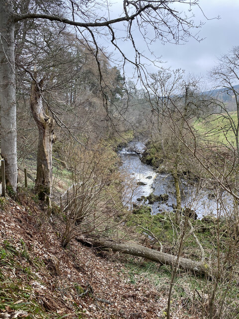
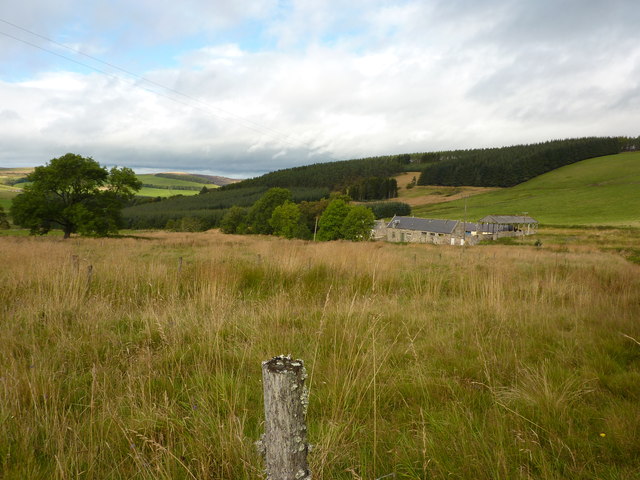
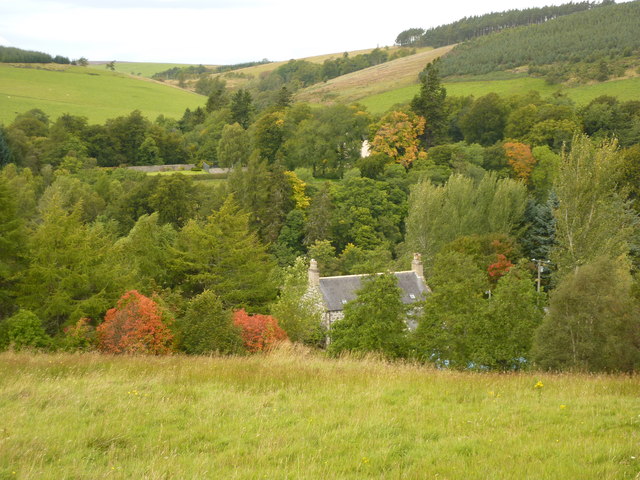
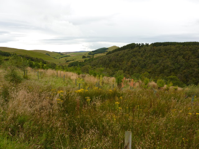
Beldorney Castle Images

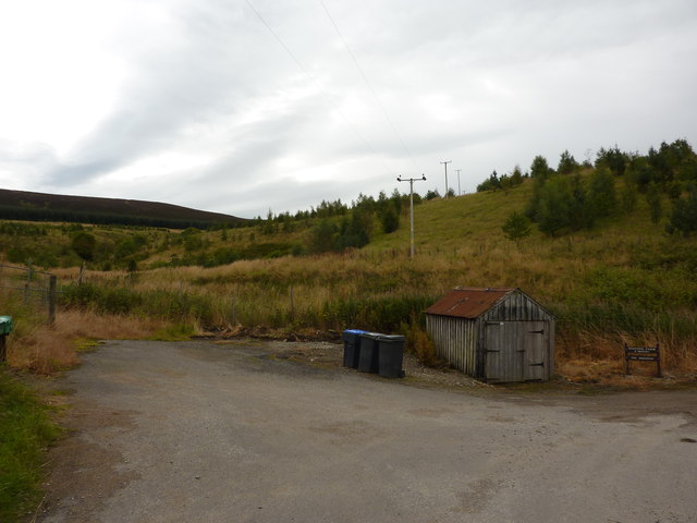
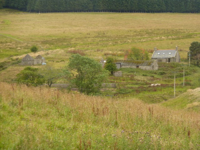
Images are sourced within 2km of 57.425/-2.958 or Grid Reference NJ4237. Thanks to Geograph Open Source API. All images are credited.

River Dee
River Dee
Westerpark, Aswanley Estate Farmhouse which is now holiday accommodation.
Westerpark, Aswanley Estate
Farmhouse which is now holiday accommodation.
Netherton, a house by the River Deveron
Rooftop of Auchinhandoch A house by the River Deveron, Strathbogie, opposite Beldorney Castle, the tennis courts and grounds of which can be glimpsed through the trees.
Rooftop of Auchinhandoch
A house by the River Deveron, Strathbogie, opposite Beldorney Castle, the tennis courts and grounds of which can be glimpsed through the trees.
Young plantation near Howiemill Looking south west, up the valley of the River Deveron. The hill in the centre distance is Craig Dorney.
Young plantation near Howiemill
Looking south west, up the valley of the River Deveron. The hill in the centre distance is Craig Dorney.
Shed and waste bins for Succoth Farm
Wrightstone, farm buildings in Deveron valley
Rough pasture land, Strathbogie Looking south west, up the valley of the River Deveron.
Rough pasture land, Strathbogie
Looking south west, up the valley of the River Deveron.
Bridge over the River Deveron At Parkhaugh.The bridge was built in 1855, and restored in 1984 by the GRC. A new barn is being erected at the farm.
Bridge over the River Deveron
At Parkhaugh.The bridge was built in 1855, and restored in 1984 by the GRC. A new barn is being erected at the farm.
Edinglassie Mains Farm with notices exhorting passers-by to support Scottish farming, and to buy 1/2 dozen eggs for 50p.
Edinglassie Mains
Farm with notices exhorting passers-by to support Scottish farming, and to buy 1/2 dozen eggs for 50p.
Memorial at crossroads, Haugh of Glass Seven miles from Huntly.
Memorial at crossroads, Haugh of Glass
Seven miles from Huntly.
Nether Dumeath Recumbent Stone Circle (1) Approaching the circle, which is in an enclosure in a field, it is obvious that most of the stones are no longer standing. See <span class="nowrap"><a title="https://canmore.org.uk/site/17280/nether-dumeath" rel="nofollow ugc noopener" href="https://canmore.org.uk/site/17280/nether-dumeath">Link</a><img style="margin-left:2px;" alt="External link" title="External link - shift click to open in new window" src="https://s1.geograph.org.uk/img/external.png" width="10" height="10"/></span> for more details. <a href="https://www.geograph.org.uk/photo/4838828">NJ4237 : Nether Dumeath Recumbent Stone Circle (2)</a>
Nether Dumeath Recumbent Stone Circle (1)
Approaching the circle, which is in an enclosure in a field, it is obvious that most of the stones are no longer standing. See LinkExternal link for more details. NJ4237 : Nether Dumeath Recumbent Stone Circle (2)
Nether Dumeath Recumbent Stone Circle (2) A general view of the circle, with the Hill of Dumeath in the background.  See <span class="nowrap"><a title="https://canmore.org.uk/site/17280/nether-dumeath" rel="nofollow ugc noopener" href="https://canmore.org.uk/site/17280/nether-dumeath">Link</a><img style="margin-left:2px;" alt="External link" title="External link - shift click to open in new window" src="https://s1.geograph.org.uk/img/external.png" width="10" height="10"/></span> for more details. <a href="https://www.geograph.org.uk/photo/4838833">NJ4237 : Nether Dumeath Recumbent Stone Circle (3)</a>
Nether Dumeath Recumbent Stone Circle (2)
A general view of the circle, with the Hill of Dumeath in the background. See LinkExternal link for more details. NJ4237 : Nether Dumeath Recumbent Stone Circle (3)
Nether Dumeath Recumbent Stone Circle (3) The circle from the south-east, showing that most of the stones have fallen or nearly fallen.  See <span class="nowrap"><a title="https://canmore.org.uk/site/17280/nether-dumeath" rel="nofollow ugc noopener" href="https://canmore.org.uk/site/17280/nether-dumeath">Link</a><img style="margin-left:2px;" alt="External link" title="External link - shift click to open in new window" src="https://s1.geograph.org.uk/img/external.png" width="10" height="10"/></span> for more details. <a href="https://www.geograph.org.uk/photo/4838838">NJ4237 : Nether Dumeath Recumbent Stone Circle (4)</a>
Nether Dumeath Recumbent Stone Circle (3)
The circle from the south-east, showing that most of the stones have fallen or nearly fallen. See LinkExternal link for more details. NJ4237 : Nether Dumeath Recumbent Stone Circle (4)
Nether Dumeath Recumbent Stone Circle (4) The large stone closets to the camera, is the recumbent, which has fallen on its face, and may not be in its exact original position. Behind it is one of the two remaining orthostats, leaning over at a steep angle. See <span class="nowrap"><a title="https://canmore.org.uk/site/17280/nether-dumeath" rel="nofollow ugc noopener" href="https://canmore.org.uk/site/17280/nether-dumeath">Link</a><img style="margin-left:2px;" alt="External link" title="External link - shift click to open in new window" src="https://s1.geograph.org.uk/img/external.png" width="10" height="10"/></span> for more details. <a href="https://www.geograph.org.uk/photo/4838847">NJ4237 : Nether Dumeath Recumbent Stone Circle (5)</a>
Nether Dumeath Recumbent Stone Circle (4)
The large stone closets to the camera, is the recumbent, which has fallen on its face, and may not be in its exact original position. Behind it is one of the two remaining orthostats, leaning over at a steep angle. See LinkExternal link for more details. NJ4237 : Nether Dumeath Recumbent Stone Circle (5)
Nether Dumeath Recumbent Stone Circle (5) The long stone nearest the camera is the west flanker, and behind it is the remaining stone of the western arc.  See <span class="nowrap"><a title="https://canmore.org.uk/site/17280/nether-dumeath" rel="nofollow ugc noopener" href="https://canmore.org.uk/site/17280/nether-dumeath">Link</a><img style="margin-left:2px;" alt="External link" title="External link - shift click to open in new window" src="https://s1.geograph.org.uk/img/external.png" width="10" height="10"/></span> for more details. <a href="https://www.geograph.org.uk/photo/4838853">NJ4237 : Nether Dumeath Recumbent Stone Circle (6)</a>
Nether Dumeath Recumbent Stone Circle (5)
The long stone nearest the camera is the west flanker, and behind it is the remaining stone of the western arc. See LinkExternal link for more details. NJ4237 : Nether Dumeath Recumbent Stone Circle (6)
Nether Dumeath Recumbent Stone Circle (6) On the left is the fallen west flanker, and on the right is the fallen and displaced recumbent. Between them is an assortment of boulders, some from field clearance and some being fragments of the east flanker and other stones of the circle.  See <span class="nowrap"><a title="https://canmore.org.uk/site/17280/nether-dumeath" rel="nofollow ugc noopener" href="https://canmore.org.uk/site/17280/nether-dumeath">Link</a><img style="margin-left:2px;" alt="External link" title="External link - shift click to open in new window" src="https://s1.geograph.org.uk/img/external.png" width="10" height="10"/></span> for more details. <a href="https://www.geograph.org.uk/photo/4838856">NJ4237 : Nether Dumeath Recumbent Stone Circle (7)</a>
Nether Dumeath Recumbent Stone Circle (6)
On the left is the fallen west flanker, and on the right is the fallen and displaced recumbent. Between them is an assortment of boulders, some from field clearance and some being fragments of the east flanker and other stones of the circle. See LinkExternal link for more details. NJ4237 : Nether Dumeath Recumbent Stone Circle (7)
Nether Dumeath Recumbent Stone Circle (7) The stone with the slope is the only stone on the western arc of the circle that has not completely fallen.  See <span class="nowrap"><a title="https://canmore.org.uk/site/17280/nether-dumeath" rel="nofollow ugc noopener" href="https://canmore.org.uk/site/17280/nether-dumeath">Link</a><img style="margin-left:2px;" alt="External link" title="External link - shift click to open in new window" src="https://s1.geograph.org.uk/img/external.png" width="10" height="10"/></span> for more details. <a href="https://www.geograph.org.uk/photo/4838860">NJ4237 : Nether Dumeath Recumbent Stone Circle (8)</a>
Nether Dumeath Recumbent Stone Circle (7)
The stone with the slope is the only stone on the western arc of the circle that has not completely fallen. See LinkExternal link for more details. NJ4237 : Nether Dumeath Recumbent Stone Circle (8)
Show me another place!

Beldorney Castle is located at Grid Ref: NJ4237 (Lat: 57.425, Lng: -2.958)

Unitary Authority: Aberdeenshire

Police Authority: North East

What 3 Words

///branch.clay.inherits. Near Huntly, Aberdeenshire

Related Wikis

Beldorney Castle

Beldorney Castle is a Z-plan castle dating from the mid-16th century, about two miles south of Glass, in hilly country in the valley of the Deveron, in...

Glass, Aberdeenshire

Glass is a parish about 8 miles west of Huntly, Aberdeenshire, Scotland. It is now wholly located in Aberdeenshire but before the reorganisation of Scottish...

Blairmore School

Blairmore School was an independent boarding preparatory school in Glass near Huntly, Aberdeenshire until its closure in 1993. The site is now owned and...

Torry Burn, Huntly

Torry Burn is a burn which marks the boundary of the parish of Huntly, Aberdeenshire, Scotland. == References ==

Nearby Amenities

Located within 500m of 57.425,-2.958
Power: pole
Lat/Long: 57.4293823/-2.9595866
Power: pole
Lat/Long: 57.4288876/-2.9590461
Power: pole
Lat/Long: 57.4284706/-2.9585917
Power: pole
Lat/Long: 57.4281236/-2.9582354
Power: pole
Lat/Long: 57.4273282/-2.9583154
Power: pole
Lat/Long: 57.4265825/-2.9583875
Power: pole
Lat/Long: 57.4261126/-2.9584396
Power: pole
Lat/Long: 57.4255856/-2.9585076
Power: pole
Lat/Long: 57.4254196/-2.9585256
Power: pole
Lat/Long: 57.4241586/-2.9592718
Power: pole
Lat/Long: 57.4234484/-2.9596683
Power: pole
Lat/Long: 57.4228443/-2.9600131
Power: pole
Lat/Long: 57.4226533/-2.9604515
Power: pole
Lat/Long: 57.4222606/-2.9613203
Power: pole
Lat/Long: 57.4217091/-2.9625359
Power: pole
Lat/Long: 57.4232252/-2.9585623
Power: pole
Lat/Long: 57.4229709/-2.9573169
Power: pole
Lat/Long: 57.4227145/-2.9560714
Power: pole
Lat/Long: 57.4225449/-2.9552265
Power: pole
Lat/Long: 57.422884/-2.9540787
Power: pole
Lat/Long: 57.4231898/-2.9529368
Power: pole
Lat/Long: 57.4210052/-2.9609935
Power: pole
Lat/Long: 57.4214827/-2.9620337
Power: pole
Lat/Long: 57.4266428/-2.9507167
Power: pole
Lat/Long: 57.4258561/-2.9506366
Power: pole
Lat/Long: 57.4281257/-2.9573506
Power: pole
Lat/Long: 57.42813/-2.9568702
Power: pole
Lat/Long: 57.4281365/-2.9557011
Power: pole
Lat/Long: 57.4281387/-2.95445
Power: pole
Lat/Long: 57.4281397/-2.9529907
Nether Dumeath
Place: isolated_dwelling
Lat/Long: 57.4286223/-2.958112
Netherton
Place: isolated_dwelling
Lat/Long: 57.4252924/-2.9514816
Birchwood / Blackbog
Place: isolated_dwelling
Lat/Long: 57.4227623/-2.9525545
The data included in this document is from www.openstreetmap.org. The data is made available under ODbL.

Have you been to Beldorney Castle?

Leave your review of Beldorney Castle below (or comments, questions and feedback).