Beeleigh Abbey
Heritage Site in Essex
England
Beeleigh Abbey

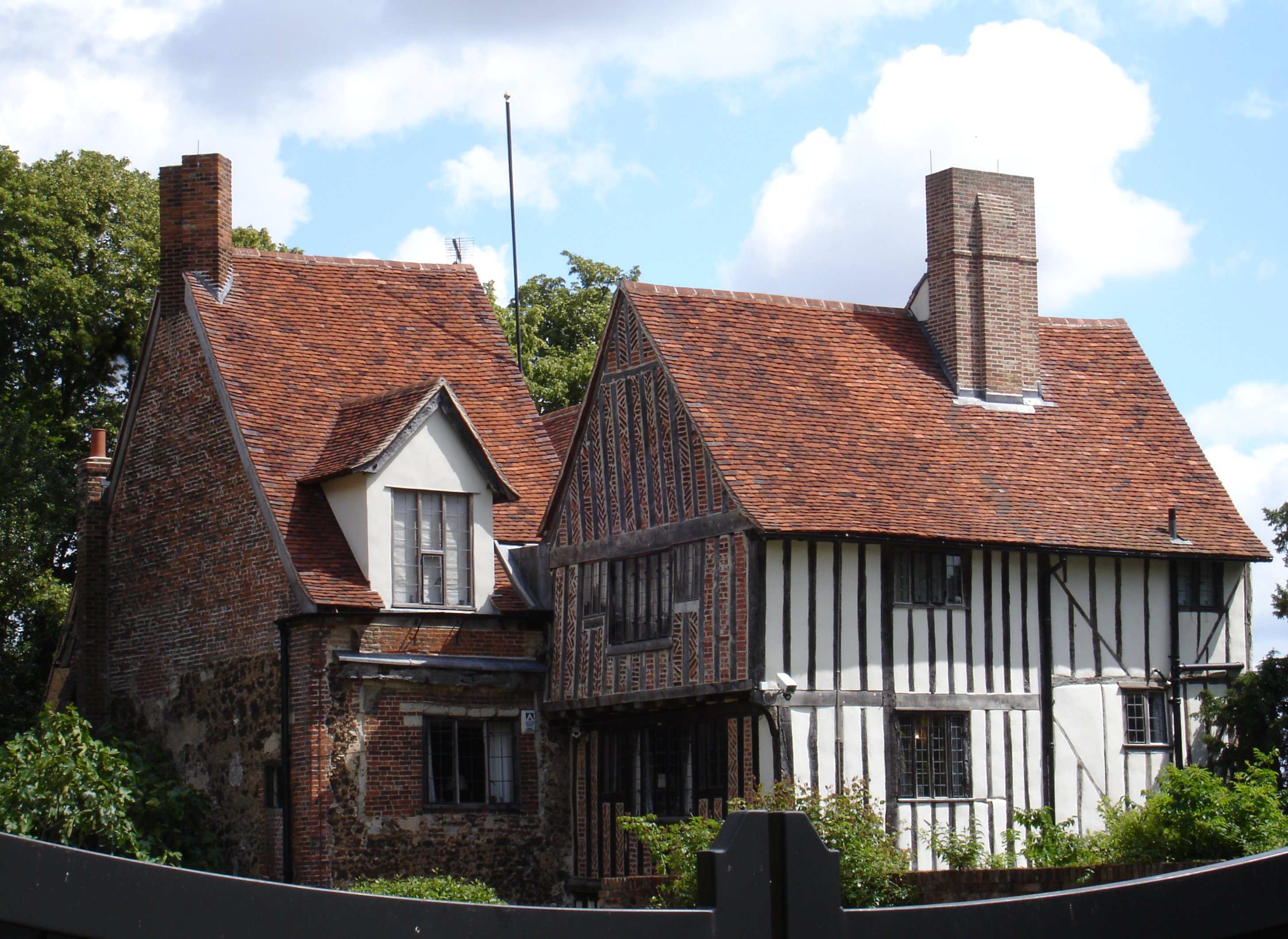
Beeleigh Abbey, located in Maldon, Essex, is a historically significant heritage site that dates back to the 12th century. Originally founded as a Cistercian abbey, it played a crucial role in the local community for almost four centuries before its dissolution in the 16th century during the English Reformation.
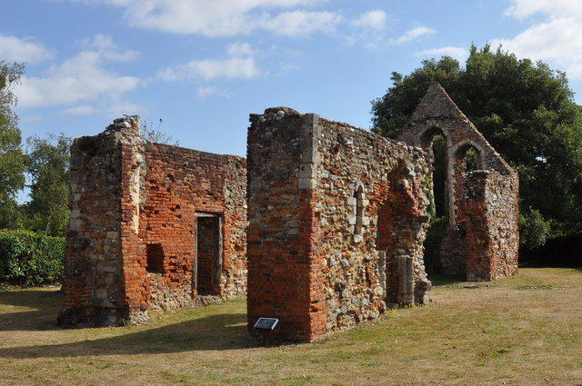
The abbey's architecture showcases a blend of medieval and Tudor styles, with its remains providing a glimpse into its former grandeur. The site consists of the abbey church, cloister, chapter house, and other notable structures. The imposing ruins of the church, adorned with intricate stonework, are particularly remarkable, hinting at the abbey's former splendor.
Despite its dissolution, Beeleigh Abbey managed to survive and underwent various transformations over the centuries. It was subsequently converted into a country house in the 16th century and later expanded during the Victorian era. The estate surrounding the abbey includes picturesque gardens, a mill, and a river, adding to its charm and appeal.
Today, Beeleigh Abbey is a popular heritage site and a Grade II listed building, attracting visitors from near and far. The ruins are carefully preserved, and guided tours are available to provide visitors with a deeper understanding of its history and significance. The site also hosts events such as weddings and exhibitions, adding to its versatility and cultural importance.
Beeleigh Abbey stands as a testament to the enduring legacy of religious and architectural heritage in Essex, offering visitors a captivating journey through time and a chance to appreciate the region's rich history.
If you have any feedback on the listing, please let us know in the comments section below.
Beeleigh Abbey Images
Images are sourced within 2km of 51.735/0.658 or Grid Reference TL8307. Thanks to Geograph Open Source API. All images are credited.


Beeleigh Abbey is located at Grid Ref: TL8307 (Lat: 51.735, Lng: 0.658)
What 3 Words
///menswear.strong.palaces. Near Maldon, Essex
Nearby Locations
Related Wikis
Beeleigh Abbey
Beeleigh Abbey near Maldon in Essex, England, was a monastery constructed in 1180 for the Order of Canons Regular of Prémontré, as known as the Norbertines...
Maldon Cutting
Maldon Cutting is a 0.1-hectare (0.25-acre) geological Site of Special Scientific Interest in Maldon in Essex. It is a Geological Conservation Review site...

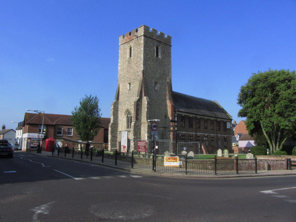
St Peter's Hospital, Maldon
St Peter's Hospital is a health facility in Spital Road, Maldon, Essex. It is managed by Mid and South Essex NHS Foundation Trust. == History == The facility...
The Leper Hospital of St Giles
The Leper Hospital of St Giles is a ruined medieval hospital located in the village of Maldon in Essex, England. Originally established to treat and...

Maldon West railway station
Maldon West railway station served the town of Maldon, Essex. It was opened on 1 October 1889 by the Great Eastern Railway on a branch line from Woodham...
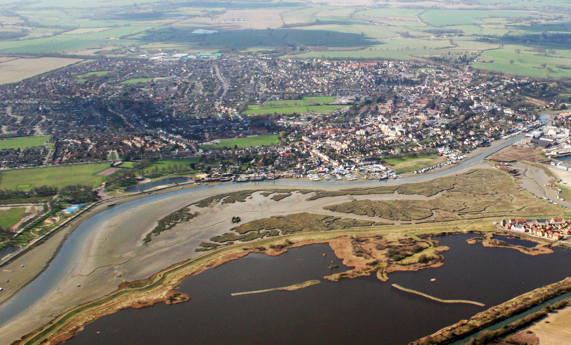
Maldon
Maldon (, locally ) is a town and civil parish on the Blackwater estuary in Essex, England. It is the seat of the Maldon District and starting point of...
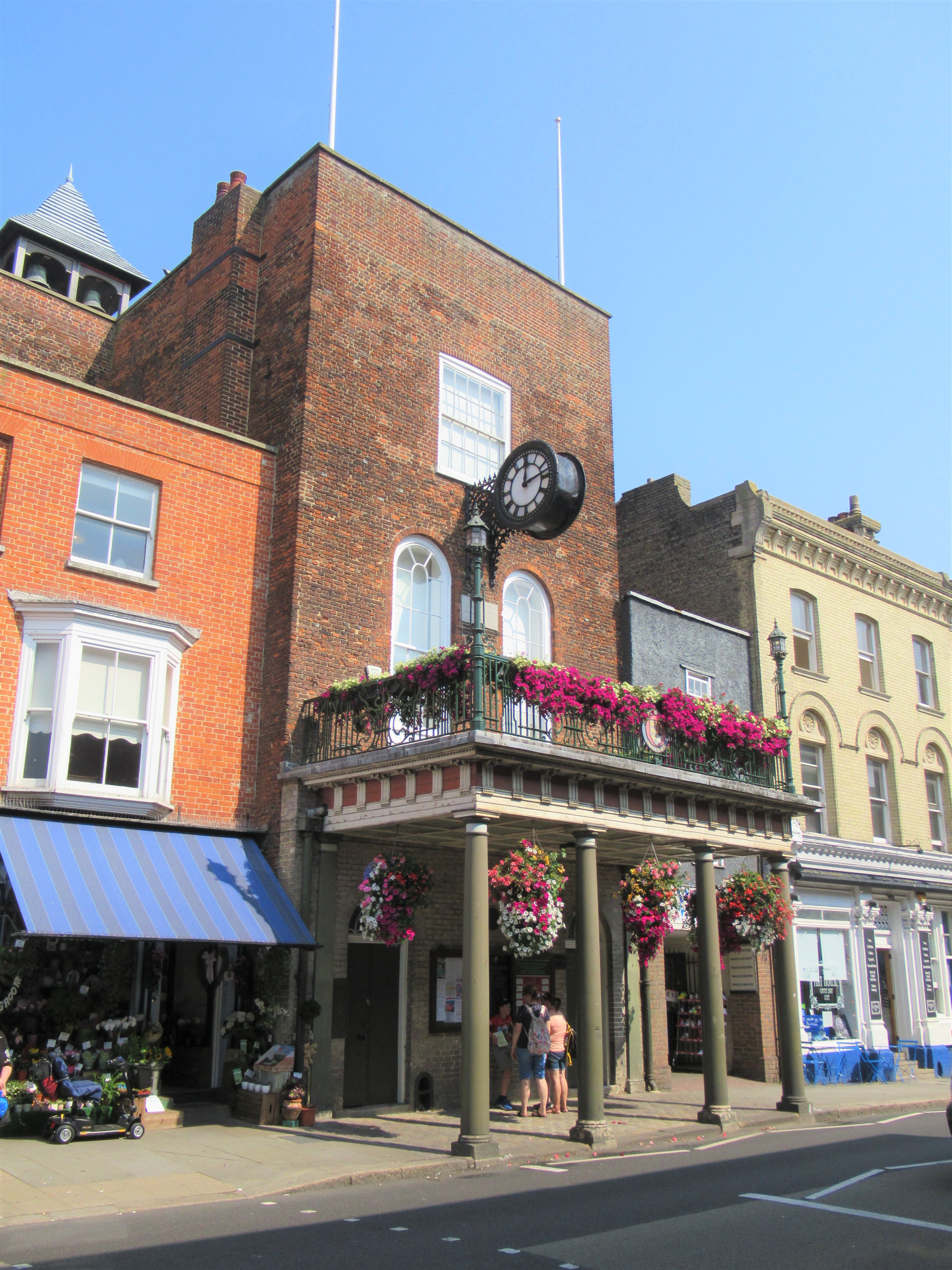
Moot Hall, Maldon
The Moot Hall is a municipal building in the High Street in Maldon, Essex, England. The building, which was the headquarters of Maldon Borough Council...
Maeldune Centre
The Maeldune Heritage Centre is in Maldon, Essex in England. It commemorates the Battle of Maldon. Its address is Maeldune Heritge Centre, Plume Building...
Nearby Amenities
Located within 500m of 51.735,0.658Have you been to Beeleigh Abbey?
Leave your review of Beeleigh Abbey below (or comments, questions and feedback).