Beaumont Castle
Heritage Site in Oxfordshire Cherwell
England
Beaumont Castle

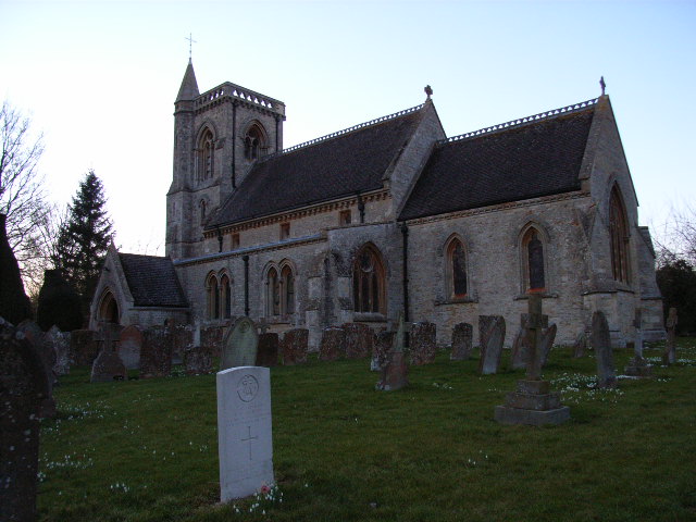
Beaumont Castle is a historic heritage site located in Oxfordshire, England. The castle is situated on a gentle slope overlooking the River Thames, about 3 miles west of the town of Wallingford. It is believed to have been originally constructed in the 14th century.
The castle consists of a large courtyard surrounded by stone walls and fortified towers. It was built as a medieval fortress and served as a strategic stronghold during various conflicts, including the English Civil War. The castle underwent several alterations and additions over the centuries, reflecting the changing needs and tastes of its occupants.
The site includes a well-preserved gatehouse, which once served as the main entrance to the castle. The gatehouse features impressive architectural details, such as decorative carvings and a portcullis slot. Inside the castle, visitors can explore the remains of the Great Hall, which was the main gathering space for the castle's inhabitants.
Beaumont Castle is also known for its stunning gardens, which were redesigned in the 18th century in the English landscape style. The gardens feature manicured lawns, flower beds, and a picturesque pond. Visitors can take leisurely strolls along the tree-lined paths and enjoy the serene atmosphere.
Today, Beaumont Castle is managed by a heritage organization and is open to the public. It offers visitors a chance to step back in time and experience the rich history and architectural beauty of this medieval fortress. Guided tours, educational programs, and special events are organized to provide a deeper understanding of the castle's significance.
If you have any feedback on the listing, please let us know in the comments section below.
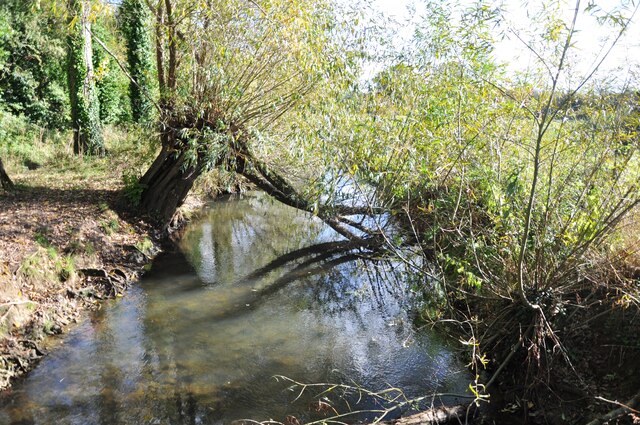
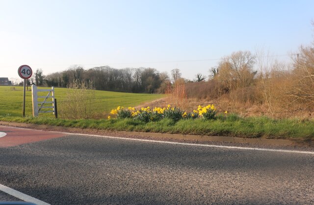
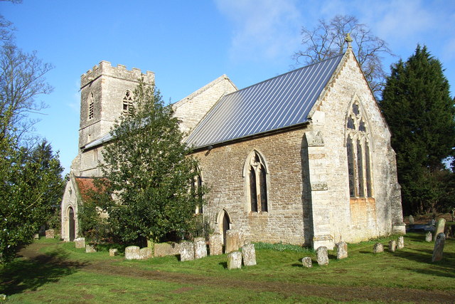
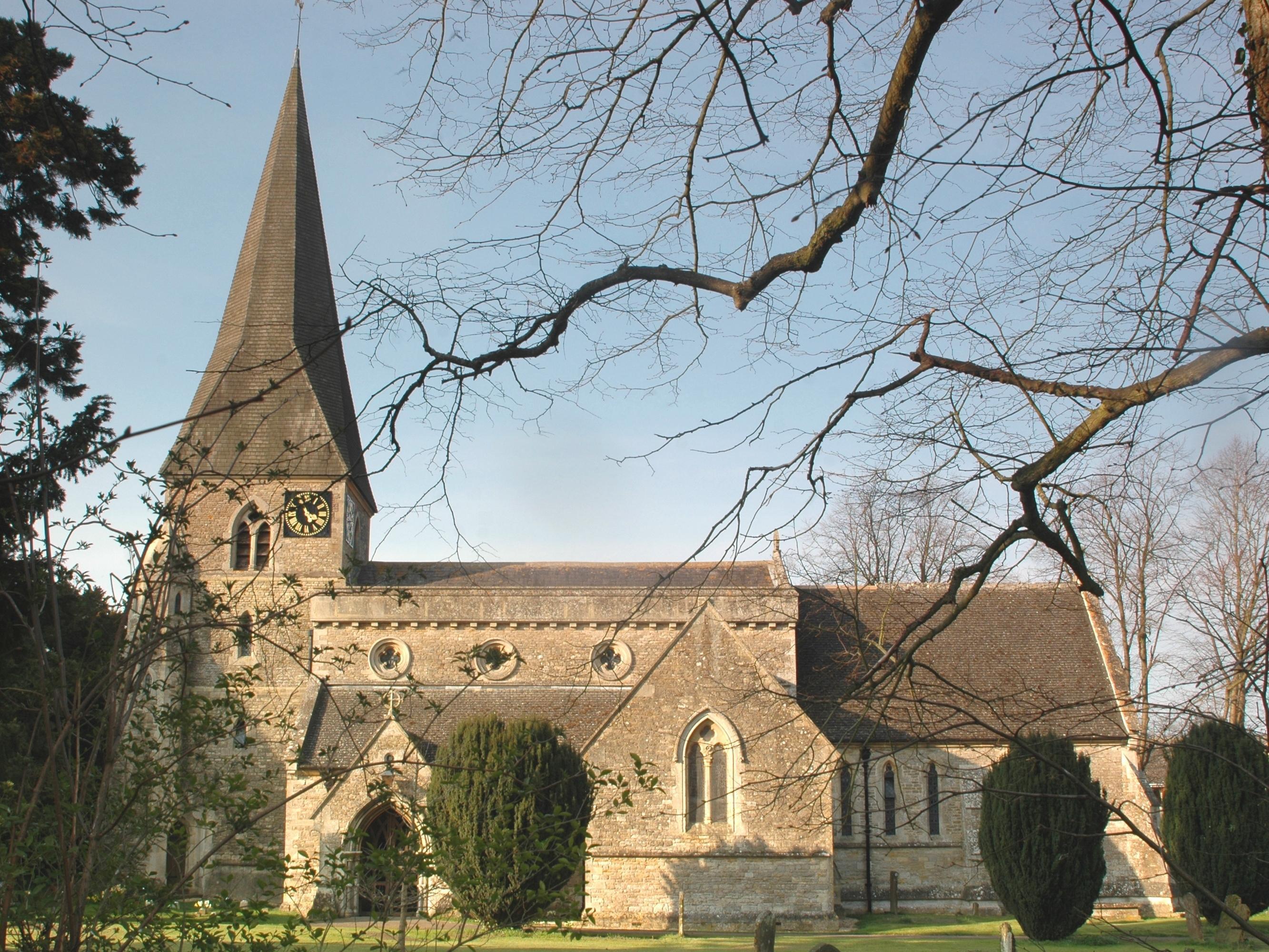
Beaumont Castle Images
Images are sourced within 2km of 52.005/-1.103 or Grid Reference SP6134. Thanks to Geograph Open Source API. All images are credited.


Beaumont Castle is located at Grid Ref: SP6134 (Lat: 52.005, Lng: -1.103)
Administrative County: Oxfordshire
District: Cherwell
Police Authority: Thames Valley
What 3 Words
///anyone.airship.quicksand. Near Tingewick, Buckinghamshire
Nearby Locations
Related Wikis
Mixbury
Mixbury is a village and civil parish in Oxfordshire, about 2.5 miles (4 km) southeast of Brackley in Northamptonshire. == Manor == The toponym is derived...

Beaumont Castle
Beaumont Castle was a medieval castle in Mixbury, Oxfordshire, England, located at grid reference SP610140. == History == Beaumont Castle was a possible...

Fulwell & Westbury railway station
Fulwell & Westbury was a railway station in Buckinghamshire that served the village of Westbury and the hamlet of Fulwell in neighbouring Oxfordshire,...

Westbury, Buckinghamshire
Westbury is a village and civil parish in northern Buckinghamshire, England, about 2.5 miles (4.0 km) east of Brackley and 5 miles (8.0 km) west of Buckingham...

Finmere
Finmere is a village and civil parish in Oxfordshire, south of the River Great Ouse. It is on the county boundary with Buckinghamshire, almost 4 miles...
Evenley
Evenley is a village and civil parish just over 1 mile (1.6 km) south of Brackley in West Northamptonshire, England. The 2011 Census recorded the parish...
Shalstone
Shalstone is a village and civil parish in Buckinghamshire, England. It is located in the north of the county, about four miles north west of Buckingham...

RAF Finmere
Royal Air Force Finmere, or more simply RAF Finmere is a former Royal Air Force satellite station located to the south-east of Finmere and south of Tingewick...
Related Videos

Muddy Feet holiday club: What a shot !
One of the Muddy Explorers showing us how well he can use the how he made.

Muddy Feet holiday club woodland kazoo
Testing out the kazoo we made at forest school holiday club.

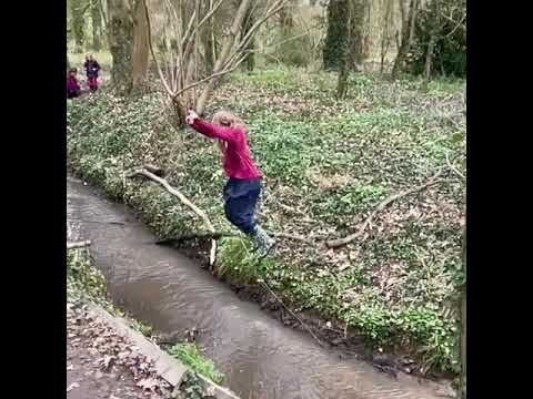
Muddy Feet holiday club
rolling !
Muddy Feet holiday club
Splashing in the stream.
Nearby Amenities
Located within 500m of 52.005,-1.103Have you been to Beaumont Castle?
Leave your review of Beaumont Castle below (or comments, questions and feedback).