Bayford House
Heritage Site in Hertfordshire East Hertfordshire
England
Bayford House

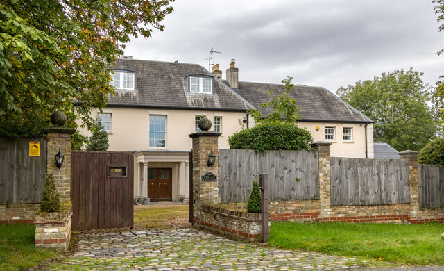
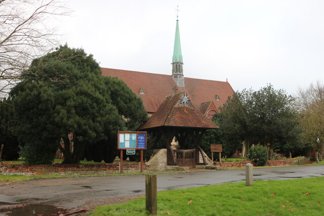
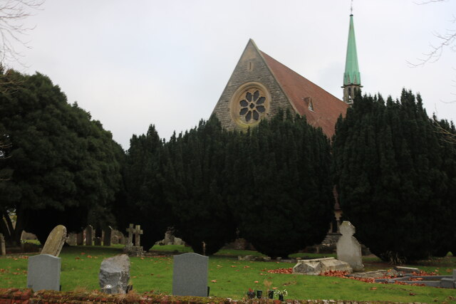
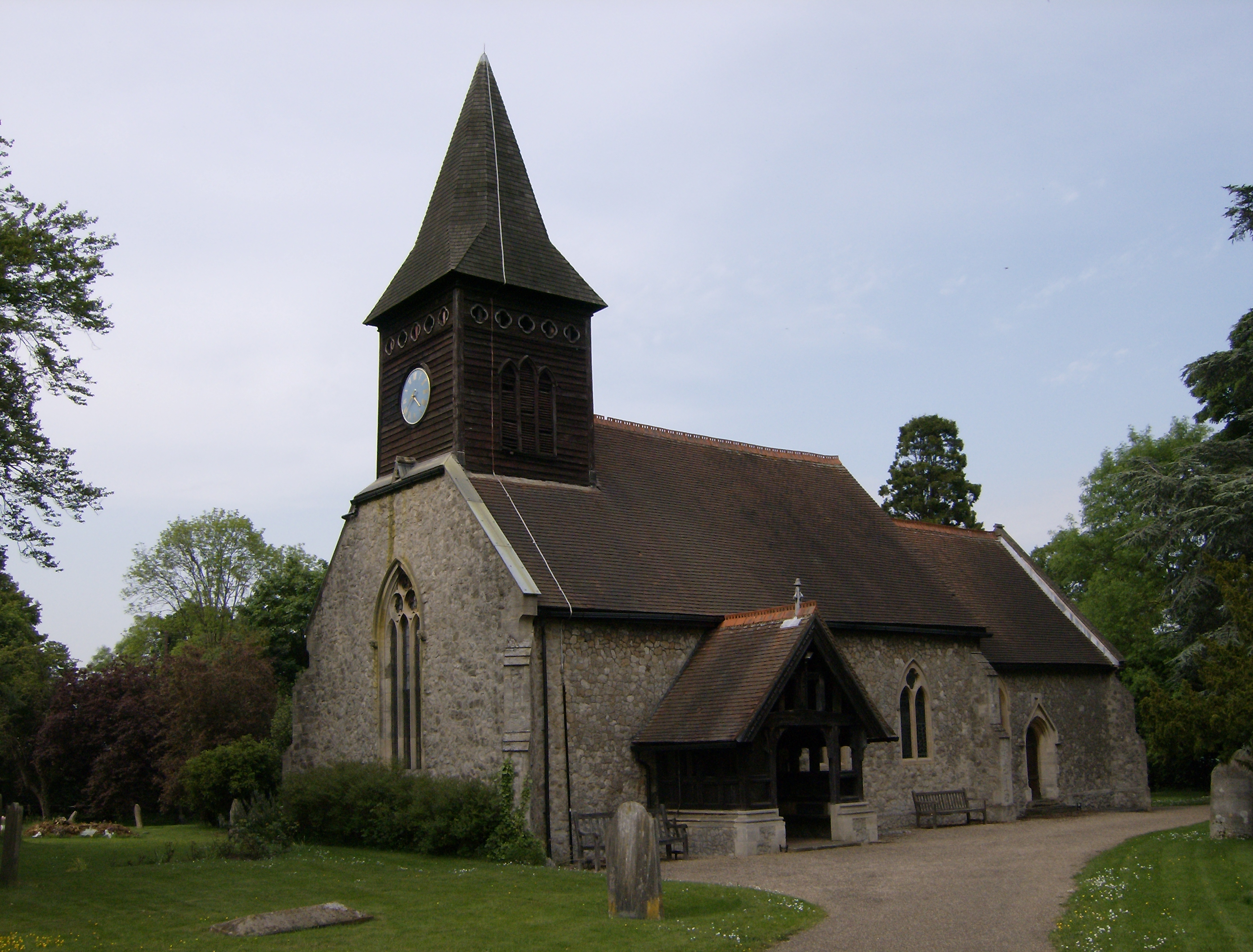
Bayford House, located in the picturesque county of Hertfordshire, is a stunning heritage site that exudes historical charm and architectural significance. This Grade II listed building is nestled amidst lush greenery and rolling hills, offering visitors a glimpse into the rich cultural heritage of the region.
Originally constructed in the 18th century, Bayford House boasts an exquisite Georgian design, characterized by its symmetrical façade, sash windows, and elegant proportions. The building's red brick exterior is complemented by a beautiful white stucco entrance porch, creating a striking visual contrast.
Stepping inside, visitors are greeted with a grand entrance hall adorned with intricate plasterwork and a sweeping staircase, showcasing the craftsmanship of the era. The house features several reception rooms, each adorned with period features such as ornate fireplaces, ceiling cornices, and large bay windows that flood the rooms with natural light.
Bayford House also boasts extensive grounds that add to its allure. The sprawling gardens, meticulously landscaped with manicured lawns, vibrant flower beds, and ancient trees, provide a tranquil retreat for visitors. A charming walled garden, complete with a sundial and a variety of aromatic plants, is a particular highlight.
Throughout its long history, Bayford House has been associated with various notable figures and events. It has served as a private residence, a convalescent home during World War I, and even a filming location for several period dramas.
Today, Bayford House stands as a testament to Hertfordshire's architectural heritage, offering visitors an immersive experience into the opulence and elegance of a bygone era.
If you have any feedback on the listing, please let us know in the comments section below.
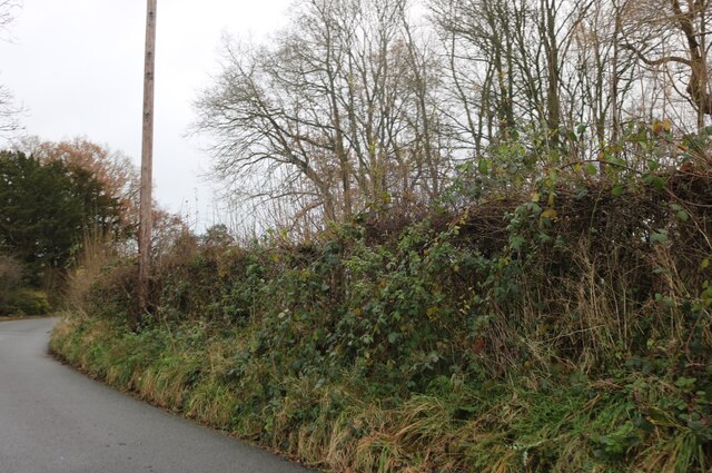
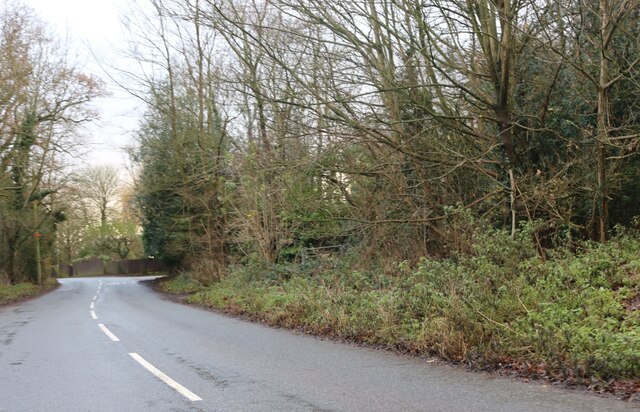
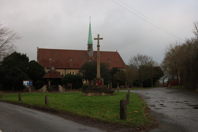
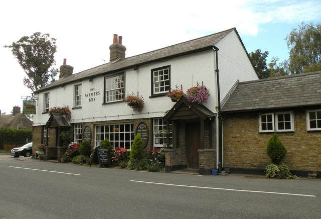
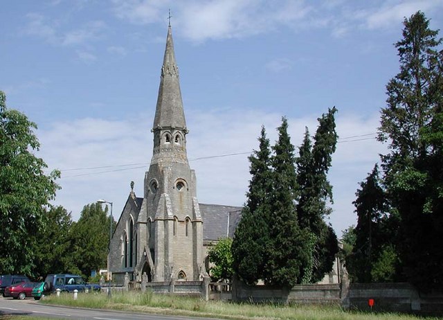
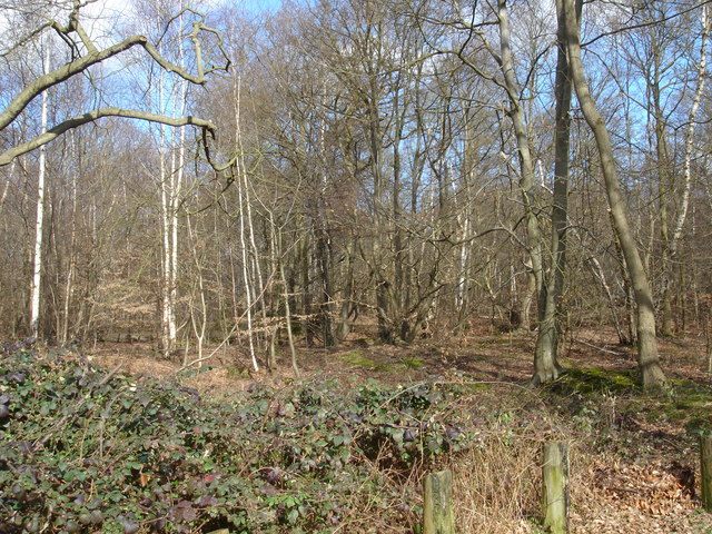
Bayford House Images
Images are sourced within 2km of 51.75/-0.11 or Grid Reference TL3007. Thanks to Geograph Open Source API. All images are credited.


Bayford House is located at Grid Ref: TL3007 (Lat: 51.75, Lng: -0.11)
Administrative County: Hertfordshire
District: East Hertfordshire
Police Authority: Hertfordshire
What 3 Words
///fully.chips.craft. Near Cuffley, Hertfordshire
Nearby Locations
Related Wikis

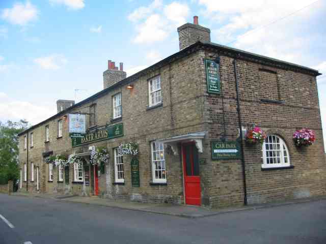
Bayford, Hertfordshire
Bayford is a village and civil parish in the East Hertfordshire district of Hertfordshire, England. According to the 2001 census it had a population of...
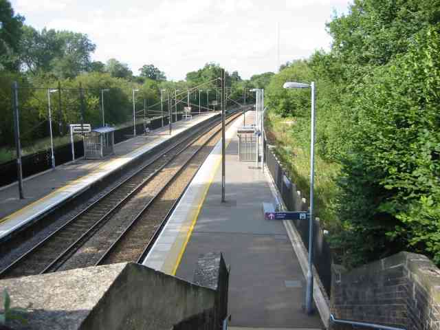
Bayford railway station
Bayford railway station serves the villages of Bayford and Brickendon in Hertfordshire, England. The station is on the Hertford Loop Line, 16 miles 56...
Little Berkhamsted
Little Berkhamsted is a village and civil parish in Hertfordshire, England, five miles south-west of the town of Hertford. The village is in a hilly location...
Brickendon
Brickendon is a village in the civil parish of Brickendon Liberty in the district of East Hertfordshire about 3 miles (4.8 km) south of the county town...

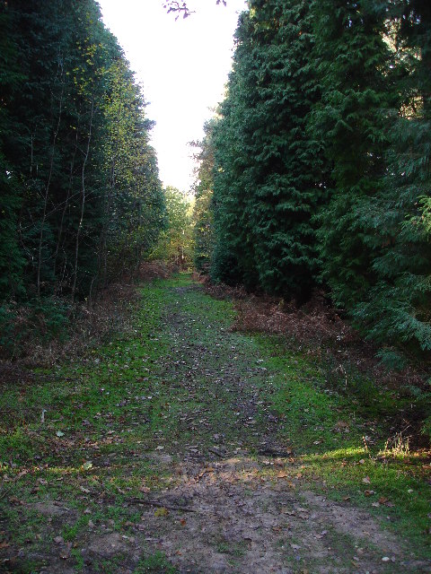
Wormley-Hoddesdonpark Wood North
Wormley-Hoddesdonpark Wood North is a 143.9-hectare (356-acre) woodland area in Hertfordshire which has been designated as a biological site of Special...
Broxbourne Woods
Broxbourne Woods are a 239.1 hectare National Nature Reserve west of Broxbourne in Hertfordshire. The site is Hertfordshire's only National Nature Reserve...
Newgate Street, Hertfordshire
Newgate Street is a village near Cuffley, in Hatfield civil parish, in the Welwyn Hatfield district of Hertfordshire, England. It is approximately six...
Wormley-Hoddesdonpark Wood South
Wormley-Hoddesdonpark Wood South is a 192.5 hectares (476 acres) is a biological site of Special Scientific Interest near Cheshunt in Hertfordshire. It...
Nearby Amenities
Located within 500m of 51.75,-0.11Have you been to Bayford House?
Leave your review of Bayford House below (or comments, questions and feedback).