Battel Hall

Heritage Site in Kent Maidstone

England

Battel Hall

View of the cascade at Leeds Castle, Broomfield With the footbridge in the foreground.
View of the cascade at Leeds Castle, Broomfield Credit: pam fray

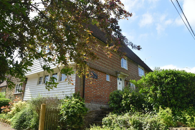
Battel Hall is a historic site located in the county of Kent, England. This magnificent heritage site is situated in the village of Leeds, near Maidstone. It is a Grade I listed building, recognized for its architectural and historical significance.

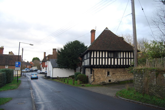
The hall dates back to the 14th century, although it has undergone various renovations and additions over the years. Originally built as a medieval manor house, Battel Hall was later transformed into a grand Tudor mansion. The building's design reflects a combination of architectural styles, including medieval, Tudor, and Georgian elements.

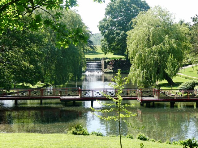
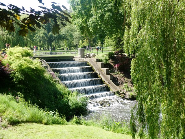
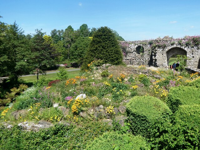
The hall is surrounded by picturesque gardens and parkland, providing visitors with a peaceful and tranquil atmosphere. The gardens feature beautifully landscaped lawns, vibrant flowerbeds, and a variety of mature trees. Additionally, there is a moat that encircles the hall, adding to its charm and historical ambiance.

Inside the hall, visitors can explore the stunning interiors, which have been carefully restored to their original grandeur. The rooms are adorned with exquisite period furnishings, intricate woodwork, and ornate plasterwork. Notable features include a magnificent oak staircase, a grand hall with a minstrels' gallery, and a beautiful library.

Battel Hall is open to the public, offering guided tours that provide insight into the history and architecture of the site. It is also a popular venue for weddings, corporate events, and private functions, providing a unique and memorable setting for special occasions.

Overall, Battel Hall stands as a remarkable heritage site, showcasing the rich history and architectural splendor of Kent.

If you have any feedback on the listing, please let us know in the comments section below.
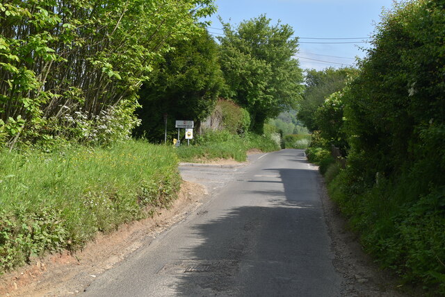
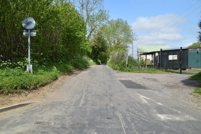
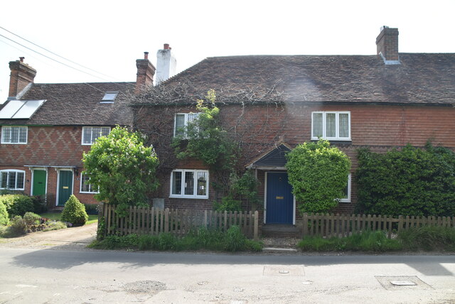
Battel Hall Images

Images are sourced within 2km of 51.252/0.615 or Grid Reference TQ8253. Thanks to Geograph Open Source API. All images are credited.

View of the cascade at Leeds Castle, Broomfield With the footbridge in the foreground.
View of the cascade at Leeds Castle, Broomfield
With the footbridge in the foreground.
View of the cascade at Leeds Castle, Broomfield
Leeds Castle, Broomfield Rockery by the entrance.
Leeds Castle, Broomfield
Rockery by the entrance.
Mallard duck with 9 ducklings, Leeds Castle On the Great Water.
Mallard duck with 9 ducklings, Leeds Castle
On the Great Water.
Pink footed geese, Leeds Castle With six gosling.
Pink footed geese, Leeds Castle
With six gosling.
Leeds Castle, Broomfield Leeds Castle has been a Norman stronghold; the private property of six of England’s medieval queens; a palace used by Henry VIII and his first wife Catherine of Aragon; a Jacobean country house; a Georgian mansion; an elegant early 20th century retreat  and, in the 21st century, it has become one of the most visited historic buildings in Britain.
Leeds Castle, Broomfield
Leeds Castle has been a Norman stronghold; the private property of six of England’s medieval queens; a palace used by Henry VIII and his first wife Catherine of Aragon; a Jacobean country house; a Georgian mansion; an elegant early 20th century retreat and, in the 21st century, it has become one of the most visited historic buildings in Britain.
Broomfield Rd
Broomfield Rd
Park Barn Rd
Park Barn Rd
Bulmershe House
Bulmershe House
Cottage, Broomfield rd
Field by Broomfield Rd
Broomfield Rd
Broomfield Rd
Upper Street Cottage
Field by Broomfield Rd
Great Ivy Cottage Grade II listed.
Great Ivy Cottage
Grade II listed.
Broomfield rd
Broomfield rd
Pink Cottage
Pink Cottage
Vine Cottages
Vine Cottages
Show me another place!

Battel Hall is located at Grid Ref: TQ8253 (Lat: 51.252, Lng: 0.615)

Administrative County: Kent

District: Maidstone

Police Authority: Kent

What 3 Words

///dreams.searcher.healthier. Near Harrietsham, Kent

Nearby Locations

Ashbank Battel Hall

Related Wikis

Ashbank

Ashbank is a small settlement near Leeds in Kent, England.

St Nicholas Church, Leeds

St Nicholas is a Church of England parish church in Leeds, Kent first built in the 11th century with additions in the next five centuries. It is a Grade...

Leeds Priory

Leeds Priory, also known as Leeds Abbey, was a priory in Leeds, Kent, England, that was founded in 1119 and dissolved in 1539. A mansion was later built...

Leeds, Kent

Leeds is a village and civil parish in the Maidstone district of Kent, England. == Location == The village is located five miles (8.0 km) to the east of...
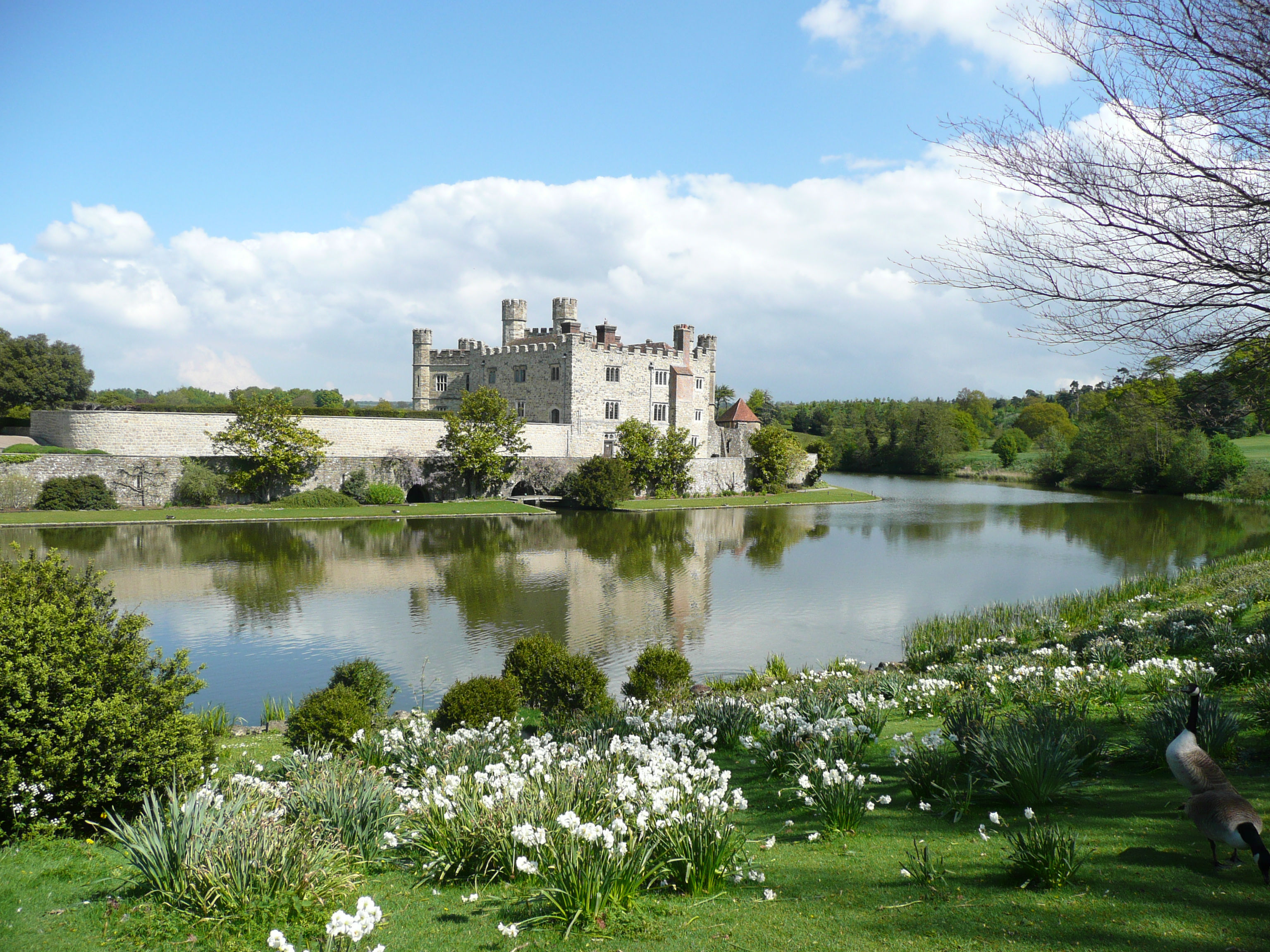
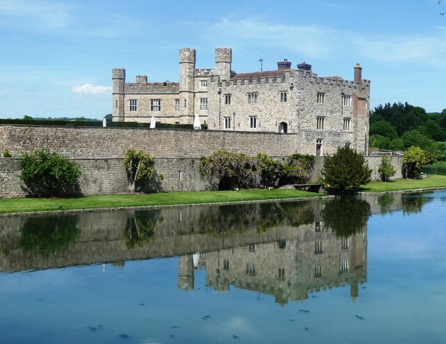
Leeds Castle

Leeds Castle is a castle in Kent, England, 7 miles (11 km) southeast of Maidstone. It is built on islands in a lake formed by the River Len to the east...

Cotuams House

Cotuams Hall is a Georgian hall in Eyhorne Street near Hollingbourne, Kent, England. == Background == Cotuams House was built on the remains of the ancient...

Maidstone services

Maidstone services are a motorway service station directly off Junction 8 of the M20 motorway near Maidstone, England, owned by Roadchef. They were the...

Broomfield, Maidstone

Broomfield is a village in the Maidstone District of Kent, England, and forms part of the civil parish of Broomfield and Kingswood. It lies 6 miles (10...

Nearby Amenities

Located within 500m of 51.252,0.615
Bus Stop
The George
Naptan AtcoCode: 2400A021340A
Naptan Bearing: SW
Naptan CommonName: The George
Naptan Indicator: adj
Naptan Landmark: The George PH
Naptan NaptanCode: kntawgwj
Naptan Street: Lower Street
Naptan Verified: no
Source: naptan_import
Lat/Long: 51.248985/0.6122162
Bus Stop
The George
Naptan AtcoCode: 2400A021430A
Naptan Bearing: NE
Naptan CommonName: The George
Naptan Indicator: opp
Naptan Landmark: The George PH
Naptan NaptanCode: kntawjat
Naptan Street: Lower Street
Naptan Verified: no
Source: naptan_import
Lat/Long: 51.2489529/0.6120424
Bus Stop
Penfold Hill
Flag: no
Naptan AtcoCode: 2400A036360A
Naptan Bearing: S
Naptan BusStopType: CUS
Naptan CommonName: Penfold Hill
Naptan Indicator: S-bound
Naptan Landmark: Ashbank Cotts
Naptan NaptanCode: kntdmtda
Naptan Street: Penfold Hill
Naptan Verified: no
Public Transport: platform
Source: naptan_import
Lat/Long: 51.2507507/0.6177194
Post Box
Brand: Royal Mail
Brand Wikidata: Q638098
Operator: Royal Mail
Operator Wikidata: Q638098
Post Box Mounting: stone_wall
Post Box Type: wall
Ref: ME17 2
Lat/Long: 51.2487734/0.611761
Barrier: kissing_gate
Lat/Long: 51.2497599/0.6154611
Barrier: kissing_gate
Lat/Long: 51.2498879/0.6178589
Barrier: kissing_gate
Lat/Long: 51.2498762/0.6177107
Barrier: kissing_gate
Lat/Long: 51.2500003/0.6122741
Barrier: stile
Lat/Long: 51.2500381/0.6111575
Barrier: stile
Lat/Long: 51.2504918/0.6095516
Barrier: stile
Lat/Long: 51.2506407/0.6092613
Barrier: stile
Lat/Long: 51.2513552/0.6079988
Direction: forward
Priority: forward
Traffic Calming: choker
Lat/Long: 51.2548298/0.6194295
Colour: white
Marker: aerial
Utility: gas
Lat/Long: 51.2487297/0.619071
The data included in this document is from www.openstreetmap.org. The data is made available under ODbL.

Have you been to Battel Hall?

Leave your review of Battel Hall below (or comments, questions and feedback).