Batham Gate

Heritage Site in Derbyshire Derbyshire Dales

England

Batham Gate

Dry Stone Wall and Stile, Tophole Road
Dry Stone Wall and Stile, Tophole Road Credit: David Dixon

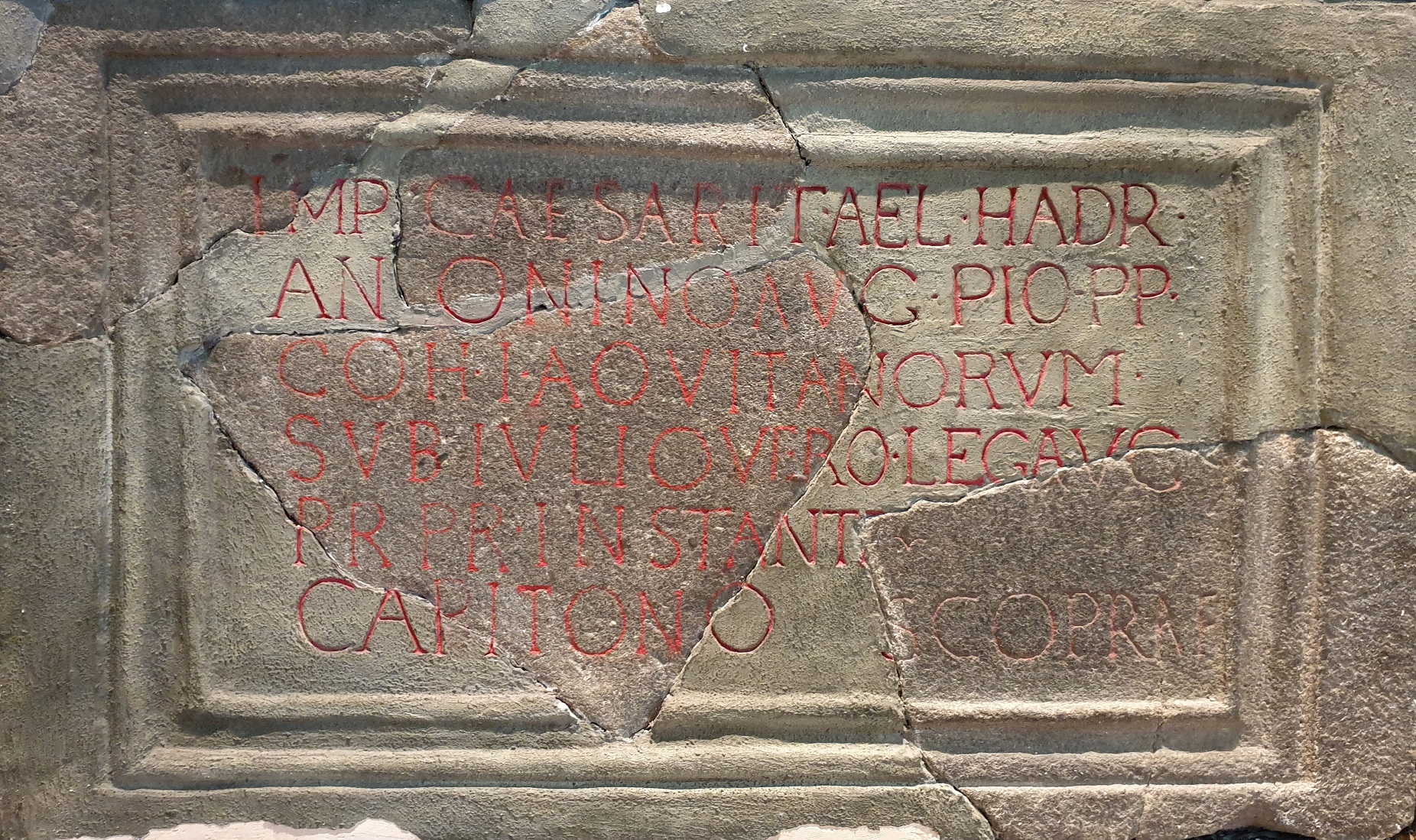
Batham Gate is a significant heritage site located in Derbyshire, England. Situated near the village of Tansley, it holds great historical and cultural importance. The site is an ancient Roman road, dating back to the 1st century AD, and was a part of the Roman network of roads that connected various parts of Britain.

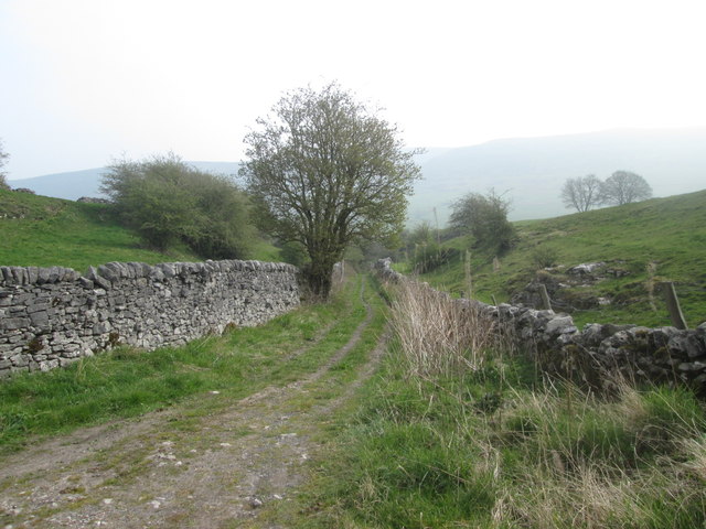
The road at Batham Gate was constructed using a technique known as "aggers," where layers of gravel, clay, and stones were laid to create a sturdy foundation. This road would have facilitated trade, transportation, and communication between different Roman settlements in the area.

Today, Batham Gate serves as a testament to the Roman presence in Derbyshire, and its archaeological significance cannot be overstated. The road is well-preserved, with sections of the original surface still visible. Visitors can observe the engineering prowess of the Romans and gain insights into their daily lives and activities.

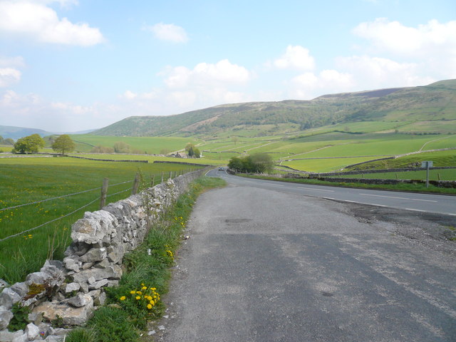
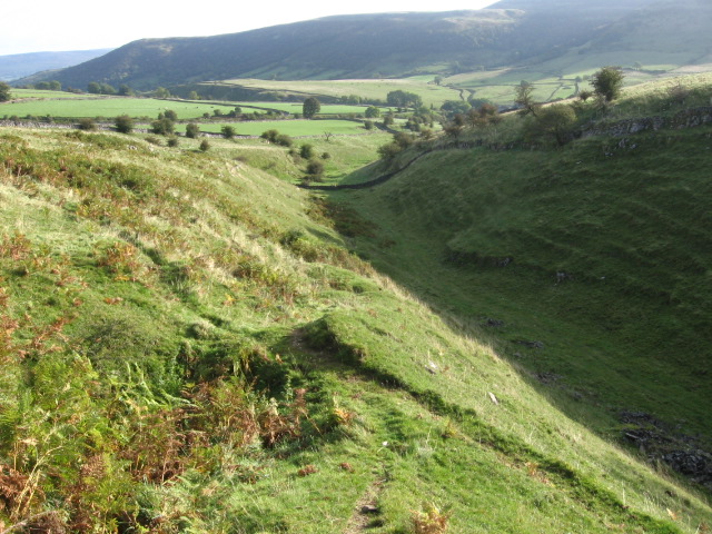
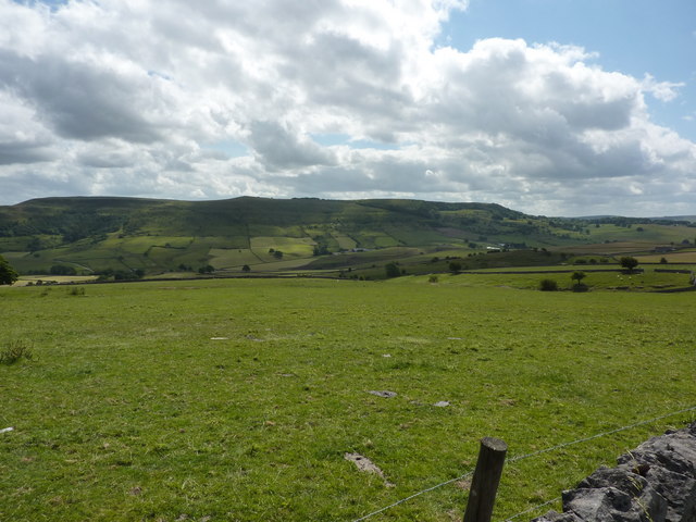
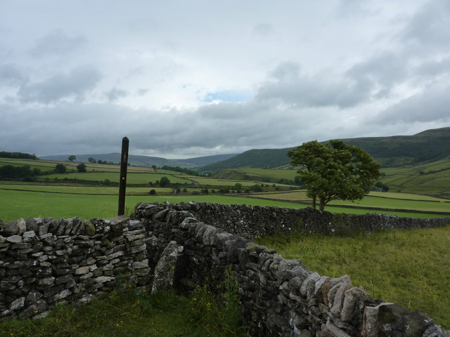
In addition to its historical value, Batham Gate also offers a picturesque setting for nature enthusiasts. Surrounded by serene countryside, the site provides ample opportunities for walking, hiking, and appreciating the natural beauty of the area.

Batham Gate is easily accessible, with nearby parking facilities and informational signage for visitors. The site is managed and maintained by local authorities, ensuring its preservation for future generations to enjoy and learn from. Whether one is interested in history, archaeology, or simply wants to explore the scenic countryside, Batham Gate is a must-visit destination in Derbyshire.

If you have any feedback on the listing, please let us know in the comments section below.
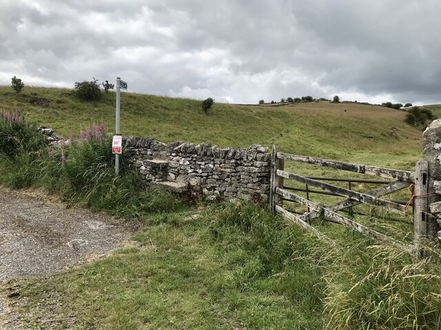
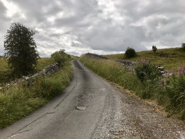
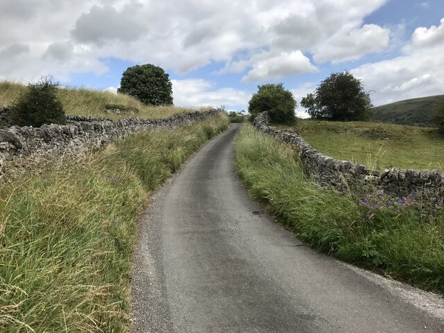
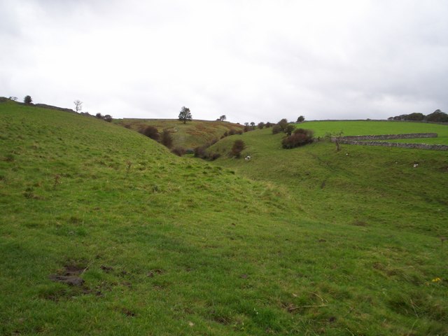
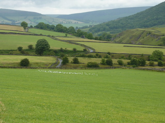
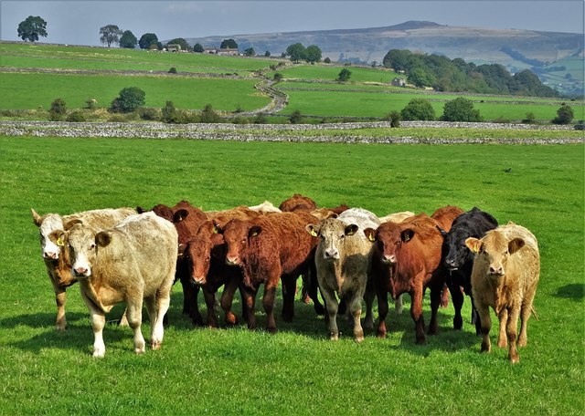
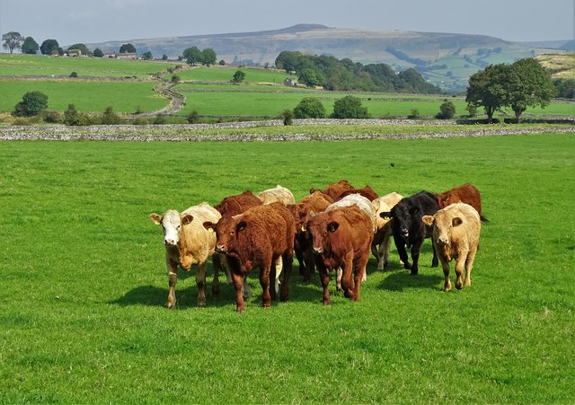
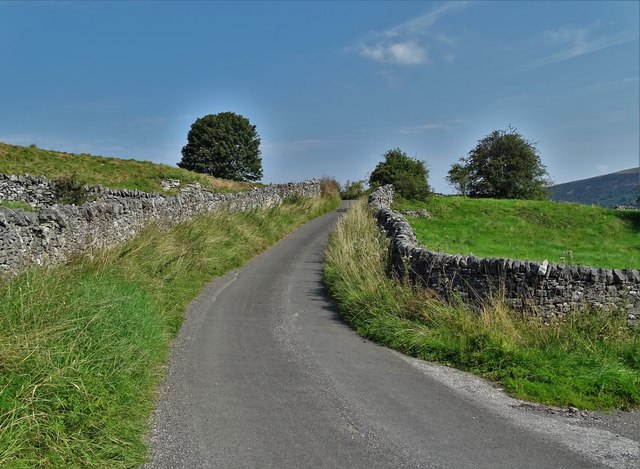
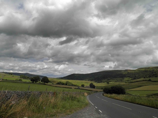
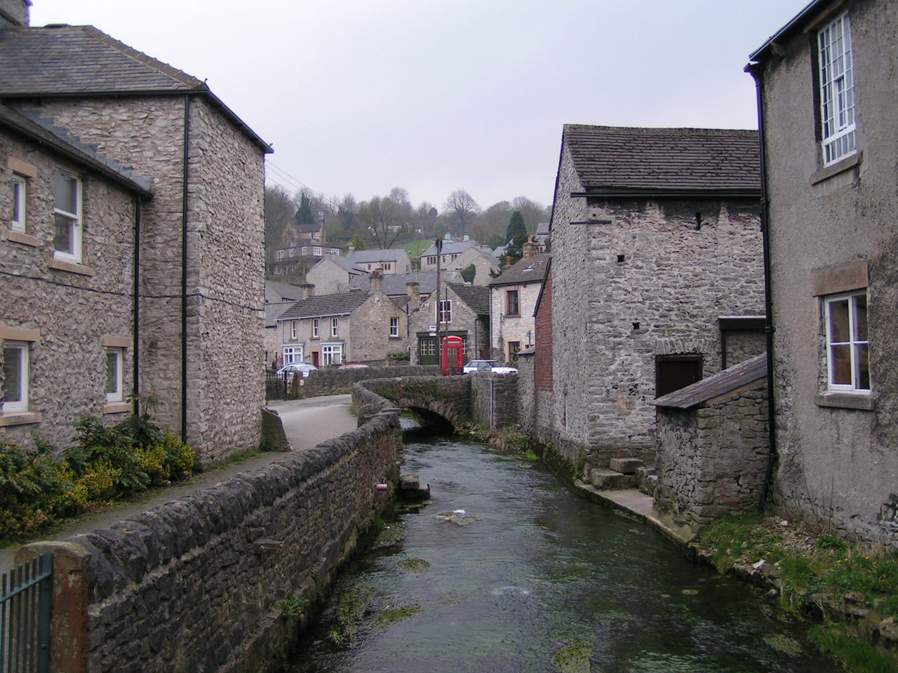
Batham Gate Images

Images are sourced within 2km of 53.33/-1.752 or Grid Reference SK1681. Thanks to Geograph Open Source API. All images are credited.

Dry Stone Wall and Stile, Tophole Road
Tophole Road Tophole Road is a narrow road to south of the village of Bradwell.
Tophole Road
Tophole Road is a narrow road to south of the village of Bradwell.
Greendale, Tophole Road Tophole Road is a narrow road to south of the village of Bradwell.
Greendale, Tophole Road
Tophole Road is a narrow road to south of the village of Bradwell.
Intake Dale Intake Dale pictured here on a breezy Saturday afternoon in October. This is a comparatively minor dale although it is designated Access Land.
Intake Dale
Intake Dale pictured here on a breezy Saturday afternoon in October. This is a comparatively minor dale although it is designated Access Land.
View down New Road (B6049)
Intake Dale
Intake Dale
Durham Edge Fields with the moors of Abney in the distance.
Durham Edge
Fields with the moors of Abney in the distance.
On a path to Intake Dale Walking south from Coplow Dale towards Bradwell, the path soon joins Tophole Road. It's a day of sunshine and showers. Win Hill is to the left of the post, on the horizon.
On a path to Intake Dale
Walking south from Coplow Dale towards Bradwell, the path soon joins Tophole Road. It's a day of sunshine and showers. Win Hill is to the left of the post, on the horizon.
Gulls in a field near Intake Dale They are just about to take off as we approach. Poor gulls, so far from the sea in landlocked Derbyshire !
Gulls in a field near Intake Dale
They are just about to take off as we approach. Poor gulls, so far from the sea in landlocked Derbyshire !
Green Dale
Green Dale
Young cattle by Tophole Road Tophole Road is an old lead mining track that winds itself over the hill to Bradwell. You can see it beyond the cattle with Win Hill on the horizon.
Young cattle by Tophole Road
Tophole Road is an old lead mining track that winds itself over the hill to Bradwell. You can see it beyond the cattle with Win Hill on the horizon.
Derbyshire cattle In a field south of Bradwell near the junction of Tophole Road and New Road. Win Hill can be seen in the distance.
Derbyshire cattle
In a field south of Bradwell near the junction of Tophole Road and New Road. Win Hill can be seen in the distance.
Tophole Road at Greendale This narrow lane is a remnant of the age of lead mining in this district of Derbyshire.
Tophole Road at Greendale
This narrow lane is a remnant of the age of lead mining in this district of Derbyshire.
Tophole view From Tophole Road looking towards Durham Edge and hang-gliders taking off.
Tophole view
From Tophole Road looking towards Durham Edge and hang-gliders taking off.
New Road Bradwell Dale
In Pindale  - view to Hope Cement Works Operated by The Breedon Group, Hope Cement Works has the capacity to make around 1.5 million tonnes of cement each year. Over two hundred people work at Hope Cement Works in a variety of jobs.
In Pindale - view to Hope Cement Works
Operated by The Breedon Group, Hope Cement Works has the capacity to make around 1.5 million tonnes of cement each year. Over two hundred people work at Hope Cement Works in a variety of jobs.
Tree by a farm track in The Hope Valley North of Pindale Road
Tree by a farm track in The Hope Valley
North of Pindale Road
Barn north of Pindale Road Used almost exclusively in relation to sheep farming
Barn north of Pindale Road
Used almost exclusively in relation to sheep farming
Show me another place!

Batham Gate is located at Grid Ref: SK1681 (Lat: 53.33, Lng: -1.752)

Administrative County: Derbyshire

District: Derbyshire Dales

Police Authority: Derbyshire

What 3 Words

///dine.defensive.thumbnail. Near Hope Valley, Derbyshire

Nearby Locations

Batham Gate Smalldale

Related Wikis

Nearby Amenities

Located within 500m of 53.33,-1.752
Pub
Ye Old Bowling Green Inn
Addr City: Hope Valley
Addr Postcode: S33 9JQ
Addr Street: Small Dale
Addr Suburb: Bradwell
Fhrs Id: 1672471
Lat/Long: 53.3307451/-1.7456361
Barrier: stile
Material: stone
Source: survey;gps
Stile: squeezer
Lat/Long: 53.3315762/-1.7492083
Barrier: stile
Material: stone
Source: survey;gps
Stile: stepover
Lat/Long: 53.3323906/-1.748625
Barrier: stile
Material: wood
Source: survey;gps
Stile: stepover
Lat/Long: 53.3284384/-1.7541116
Barrier: stile
Material: wood
Source: survey;gps
Stile: stepover
Lat/Long: 53.3293623/-1.7540694
Barrier: stile
Material: wood
Source: survey;gps
Stile: stepover
Lat/Long: 53.3299426/-1.7564842
Natural: sinkhole
Lat/Long: 53.3261653/-1.7491433
Bench
Source: survey;gps
Lat/Long: 53.3316747/-1.7457372
Bench
Backrest: yes
Lat/Long: 53.3289559/-1.7476759
Bench
Backrest: yes
Lat/Long: 53.3273405/-1.7462438
The data included in this document is from www.openstreetmap.org. The data is made available under ODbL.

Have you been to Batham Gate ?

Leave your review of Batham Gate below (or comments, questions and feedback).