Bath Skyline

Heritage Site in Somerset

England

Bath Skyline

Grass Amphitheatre at The University of Bath
Grass Amphitheatre at The University of Bath Credit: Anthony Parkes

The Bath Skyline is a stunning heritage site located in Somerset, England. It encompasses a 6-mile circular walk that offers visitors breathtaking views of the historic city of Bath and its surrounding countryside. The site is managed by the National Trust and provides a unique opportunity to explore both natural beauty and rich cultural heritage.

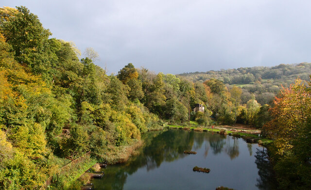
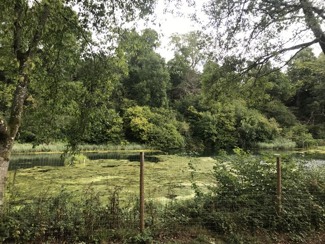
The Bath Skyline trail takes visitors through a diverse range of landscapes, including woodlands, meadows, and open fields. Along the way, walkers will encounter ancient hedgerows, wildflower meadows, and charming hidden valleys. The trail also passes by several historic sites, such as the Iron Age hillfort at Solsbury Hill and the Sham Castle, a picturesque folly built in the 18th century.

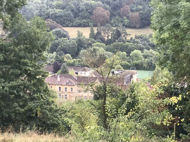
One of the highlights of the Bath Skyline is the panoramic view it offers of the city of Bath. From vantage points along the trail, visitors can take in the iconic Georgian architecture, including the famous Royal Crescent and the majestic Bath Abbey. The view also extends to the rolling hills and valleys that surround the city, creating a truly awe-inspiring experience.

In addition to its natural and architectural beauty, the Bath Skyline is home to a rich array of wildlife. Visitors may spot deer, foxes, and a variety of bird species as they explore the trail. The site is also known for its extensive collection of ancient trees, some of which are several hundred years old.

Overall, the Bath Skyline is a must-visit destination for nature lovers, history enthusiasts, and anyone seeking a peaceful and scenic escape. Its combination of stunning views, cultural heritage, and abundant wildlife make it a truly remarkable heritage site in Somerset.

If you have any feedback on the listing, please let us know in the comments section below.
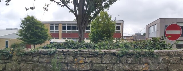
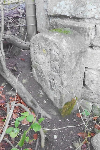
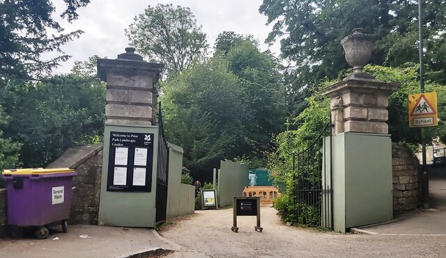
Bath Skyline Images

Images are sourced within 2km of 51.369/-2.328 or Grid Reference ST7763. Thanks to Geograph Open Source API. All images are credited.

Grass Amphitheatre at The University of Bath
The Hadley Arms
The Hadley Arms
Ralph Allen School
Ralph Allen School
Norwood Avenue Entrance to University of Bath
Dundas Aqueduct Photograph taken looking over Dundas Aqueduct from the Avoncliff end, towards Dundas Wharf.
Towpath here is crushed gravel and stone in good condition, and is a good 1m plus wide.
Dundas Aqueduct
Photograph taken looking over Dundas Aqueduct from the Avoncliff end, towards Dundas Wharf. Towpath here is crushed gravel and stone in good condition, and is a good 1m plus wide.
Angelfish Cafe  The view of the Cafe on the Brassknocker Basin off the Kennet & Avon Canal near Bath.
Angelfish Cafe
The view of the Cafe on the Brassknocker Basin off the Kennet & Avon Canal near Bath.
Tucking Mill Reservoir Picture taken looking down from the Bath Two Tunnels cycling/walking route.
The Wessex Water website states "Try coarse fishing - it's free to disabled anglers".
Tucking Mill Reservoir
Picture taken looking down from the Bath Two Tunnels cycling/walking route. The Wessex Water website states "Try coarse fishing - it's free to disabled anglers".
Old Boundary Marker south of Widcombe Hill, Bath Boundary Marker where a stone wall meets a fence in the middle of a wood south of Widcombe Hill, a road. Not marked on OS maps until 1904. On the former boundary of Bathwick and Claverton parishes, from 1900 Bath and Claverton parishes, from 1951 entirely in Bath parish. The inscription E B / V W does not relate to any of these. 

Milestone Society National ID: SO_BATH05bm
Old Boundary Marker south of Widcombe Hill, Bath
Boundary Marker where a stone wall meets a fence in the middle of a wood south of Widcombe Hill, a road. Not marked on OS maps until 1904. On the former boundary of Bathwick and Claverton parishes, from 1900 Bath and Claverton parishes, from 1951 entirely in Bath parish. The inscription E B / V W does not relate to any of these. Milestone Society National ID: SO_BATH05bm
Approaching Holcombe Bridge on the Kennet & Avon canal
Holcombe Bridge No.181 Also known as Hardings Bridge.
Holcombe Bridge No.181
Also known as Hardings Bridge.
Boats moored on the Kennet & Avon canal south of Claverton
Claverton Swing Bridge No.178 on the Kennet  & Avon canal
Claverton Swing Bridge No.178 on the Kennet & Avon canal
The western end of the Dundas Aqueduct on the Kennet & Avon Canal The aqueduct crosses the River Avon and the railway.
The western end of the Dundas Aqueduct on the Kennet & Avon Canal
The aqueduct crosses the River Avon and the railway.
Looking west on the Dundas Aqueduct
Footbridge over the Kennet & Avon Canal west of Dundas Aqueduct
Gates to Prior Park - Bath
Monkton Combe
Monkton Combe
Lake at Tucking Mill
Show me another place!

Bath Skyline is located at Grid Ref: ST7763 (Lat: 51.369, Lng: -2.328)

Unitary Authority: Bath and North East Somerset

Police Authority: Avon and Somerset

What 3 Words

///torch.pinch.topic. Near Bath, Somerset

Related Wikis

Nearby Amenities

Located within 500m of 51.369,-2.328
Barrier: kissing_gate
Lat/Long: 51.3717329/-2.3284729
Rainbow Wood Farm
Addr Postcode: BA2 7AR
Disused Fhrs Id: 204639
Guest House: bed_and_breakfast
Tourism: guest_house
Website: https://www.rainbowwoodfarm.com/
Wikidata: Q26673282
Lat/Long: 51.3722199/-2.3242375
Barrier: kissing_gate
Lat/Long: 51.3704024/-2.3259197
Claverton Down
Place: suburb
Wikidata: Q5129615
Wikipedia: en:Claverton Down
Lat/Long: 51.3686485/-2.3276287
Barrier: kissing_gate
Lat/Long: 51.3655779/-2.3259227
Generator Method: photovoltaic
Generator Output Electricity: yes
Generator Source: solar
Generator Type: solar_photovoltaic_panel
Location: roof
Power: generator
Lat/Long: 51.3658157/-2.3231189
The data included in this document is from www.openstreetmap.org. The data is made available under ODbL.

Have you been to Bath Skyline?

Leave your review of Bath Skyline below (or comments, questions and feedback).