Ballinbreich Castle

Heritage Site in Fife

Scotland

Ballinbreich Castle

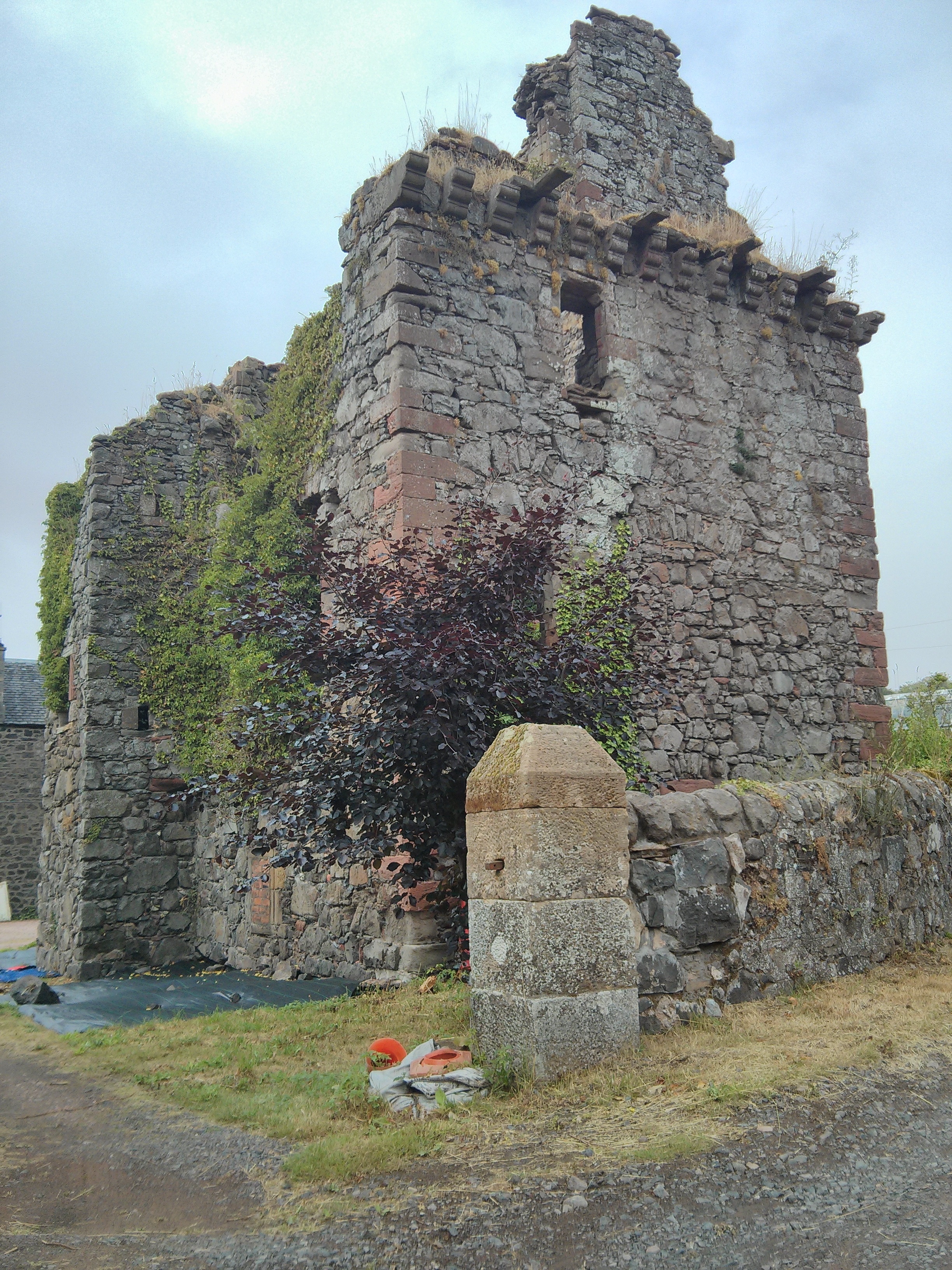
Ballinbreich Castle The ruined Ballinbreich Castle on the south bank of the Firth of Tay.
Ballinbreich Castle Credit: Scott Cormie

Ballinbreich Castle is a historic fortress located in Fife, Scotland, and is recognized as a designated heritage site. The castle sits atop a gentle slope overlooking the peaceful waters of the River Tay, offering breathtaking views of the surrounding countryside. Its origins can be traced back to the 15th century, making it a significant architectural and historical landmark in the region.

The castle boasts a unique blend of architectural styles, combining medieval and Jacobean elements. The exterior of the castle showcases imposing stone walls, turrets, and battlements, while the interiors feature intricate woodwork, ornate ceilings, and grand fireplaces. The castle's rich history is evident in its well-preserved structure and the various additions made throughout the centuries.

Throughout its existence, Ballinbreich Castle has witnessed numerous significant events and hosted several notable figures. It was once owned by the Balfour family, who played a prominent role in Scottish history. The castle also served as a military stronghold during times of conflict, particularly during the Jacobite uprisings in the 18th century.

Today, Ballinbreich Castle is privately owned and is not open to the public. However, its impressive exterior is still visible from public roads, allowing visitors to appreciate its grandeur and historical significance from a distance. The castle's imposing presence and rich heritage make it a cherished part of Fife's architectural and cultural heritage.

If you have any feedback on the listing, please let us know in the comments section below.

Ballinbreich Castle Images

Images are sourced within 2km of 56.3711/-3.1805 or Grid Reference NO2720. Thanks to Geograph Open Source API. All images are credited.

Ballinbreich Castle The ruined Ballinbreich Castle on the south bank of the Firth of Tay.
Ballinbreich Castle
The ruined Ballinbreich Castle on the south bank of the Firth of Tay.
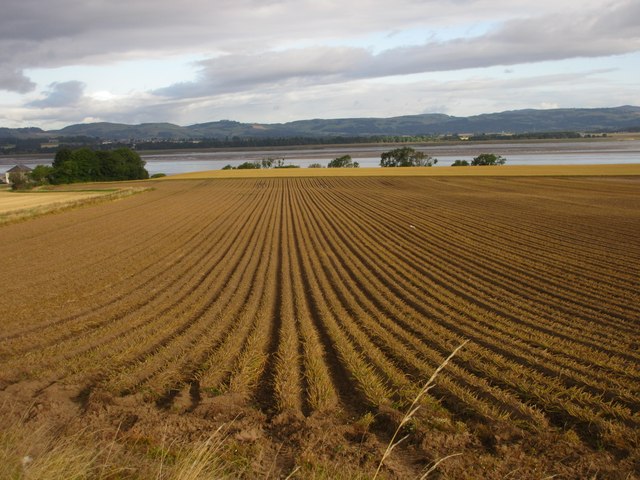
Potato dreels Potato field ready for harvesting between Camcase and Logie.
Potato dreels
Potato field ready for harvesting between Camcase and Logie.
Fife Coastal Path at Higham Hill Grassy fenced in section of the Fife Coastal Path near Higham Hill.
Fife Coastal Path at Higham Hill
Grassy fenced in section of the Fife Coastal Path near Higham Hill.
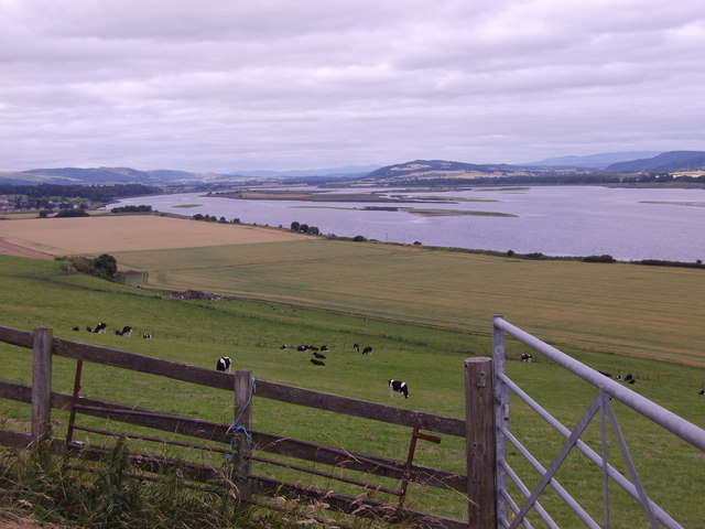
Field above the Firth of Tay Looking down from the Fife Coastal Path to a field above the Firth of Tay.
Field above the Firth of Tay
Looking down from the Fife Coastal Path to a field above the Firth of Tay.
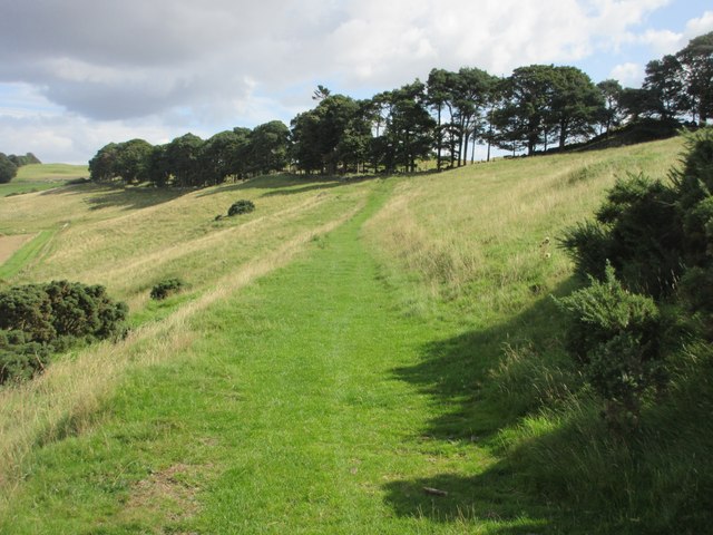
Grassy high section of the Fife Coastal Path The Fife Coastal Path heading east along the hills above the Tay.
Grassy high section of the Fife Coastal Path
The Fife Coastal Path heading east along the hills above the Tay.
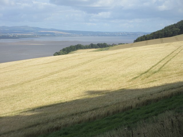
Barley field above the Firth of Tay Looking from Silver Hill over a field of barley, with Dundee in the distance across the Firth of Tay.
Barley field above the Firth of Tay
Looking from Silver Hill over a field of barley, with Dundee in the distance across the Firth of Tay.
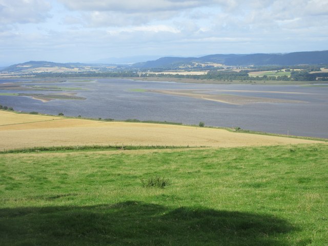
View upstream River Tay Over the islands off Newburgh (Fife).
View upstream River Tay
Over the islands off Newburgh (Fife).
The Fife Coastal Path The path dropping down towards the Tay and journeys end at Newburgh.
The Fife Coastal Path
The path dropping down towards the Tay and journeys end at Newburgh.
Path sign, Glenduckie Scottish Rights of Way Society sign.
Path sign, Glenduckie
Scottish Rights of Way Society sign.
Ruined quarry building Remains of quarrying in Glenduckie.
Ruined quarry building
Remains of quarrying in Glenduckie.
Woodland edge, Glenduckie At the foot of Glenduckie Hill.
Woodland edge, Glenduckie
At the foot of Glenduckie Hill.
Glenduckie to Ballinbreich path A signposted route through the Ochil Hills in Fife.
Glenduckie to Ballinbreich path
A signposted route through the Ochil Hills in Fife.
Higham Hill Stubble season in Fife.
Higham Hill
Stubble season in Fife.
Slopes of Glenduckie Hill Field/woodland edge.
Slopes of Glenduckie Hill
Field/woodland edge.
Overgrown greenhouse Glenduckie Triffids perhaps?
Overgrown greenhouse Glenduckie
Triffids perhaps?
Deer fence and gate Glenduckie Hill If you take the circular track - some of which is now badly overgrown - around the North side of Glenduckie Hill you eventually come to this deer fence and gate. Follow the track downhill to reach the Fife Coast Path.
Deer fence and gate Glenduckie Hill
If you take the circular track - some of which is now badly overgrown - around the North side of Glenduckie Hill you eventually come to this deer fence and gate. Follow the track downhill to reach the Fife Coast Path.
Melgers Woodlands marker stone This marker stone is located a few paces away from the Fife Coast Path where a circular track around Glenduckie Hill diverges up North and West through the woods.
Melgers Woodlands marker stone
This marker stone is located a few paces away from the Fife Coast Path where a circular track around Glenduckie Hill diverges up North and West through the woods.
New cottage at Glenduckie Quarry Slightly utilitarian in appearance, but well built and will probably fit into the environment better once the wooden boards have weathered a bit more.
New cottage at Glenduckie Quarry
Slightly utilitarian in appearance, but well built and will probably fit into the environment better once the wooden boards have weathered a bit more.
Show me another place!

Ballinbreich Castle is located at Grid Ref: NO2720 (Lat: 56.3711, Lng: -3.1805)

What 3 Words

///police.ushering.solution. Near Errol, Perth & Kinross

Nearby Locations

Ballinbreich Castle

Related Wikis

Inner Tay Estuary

The Inner Tay Estuary is the inner, western part of the Firth of Tay, from the Tay Railway Bridge in the east to the Queen's Bridge over the River Tay...

Errol, Perth and Kinross

Errol is a village in Perth and Kinross, Scotland about halfway between Dundee and Perth. It is one of the principal settlements of the Carse of Gowrie...

Norman's Law

Norman's Law is a prominent hill at the far eastern end of the Ochil Fault, Scotland. It sits above the south bank of the River Tay, around four miles...

Lindores railway station

Lindores railway station served the village of Lindores, Fife, Scotland from 1909 to 1951 on the Newburgh and North Fife Railway. == History == The station...

Lindores Abbey distillery

Lindores Abbey distillery is a Scotch whisky distillery in Newburgh in the Lowlands whisky region in Scotland and is directly opposite the Abbey. It started...

Lindores Abbey

Lindores Abbey was a Tironensian abbey on the outskirts of Newburgh in Fife, Scotland. Now a reduced ruin, it lies on the southern banks of the River Tay...

Lindores

Lindores is a small village in Fife, Scotland, in the parish of Abdie, about 2 miles south-east of Newburgh. It is situated on the north-east shore of...

Denmylne Castle

Denmylne Castle is a ruined 16th-century tower house, about 1 mile (1.6 km) south east of Newburgh, Fife, Fife, Scotland, and 1 mile (1.6 km) north west...

Nearby Amenities

Located within 500m of 56.3711,-3.1805
Created By: almien_coastlines
Lat/Long: 56.372527/-3.178041
Created By: almien_coastlines
Lat/Long: 56.372012/-3.180115
Created By: almien_coastlines
Lat/Long: 56.371112/-3.181956
Created By: almien_coastlines
Lat/Long: 56.370984/-3.182878
Created By: almien_coastlines
Lat/Long: 56.370213/-3.18472
Power: pole
Lat/Long: 56.368506/-3.1776665
Power: pole
Lat/Long: 56.3682001/-3.1764669
Power: pole
Lat/Long: 56.3678988/-3.1752341
The data included in this document is from www.openstreetmap.org. The data is made available under ODbL.

Have you been to Ballinbreich Castle?

Leave your review of Ballinbreich Castle below (or comments, questions and feedback).