Austin's Br
Heritage Site in Devon Teignbridge
England
Austin's Br
Austin's Bridge, located in Devon, England, is a renowned heritage site that holds significant historical and architectural importance. Dating back to the 13th century, this ancient bridge spans across the River Taw, connecting the towns of Barnstaple and Pilton.
The bridge is an impressive example of medieval engineering, boasting six arches made of local stone that gracefully curve over the flowing river. The stonework is remarkably well-preserved, showcasing the craftsmanship of the time. The structure stands at a height of approximately 15 meters, making it an imposing landmark in the region.
Originally known as Pilton Bridge, it was renamed Austin's Bridge in the 18th century after a local benefactor, Austin Friars, who funded its restoration. The bridge's historical significance lies in its role as a vital transportation route, connecting North Devon with the rest of the county. It played a crucial part in the region's economic development, facilitating trade and travel.
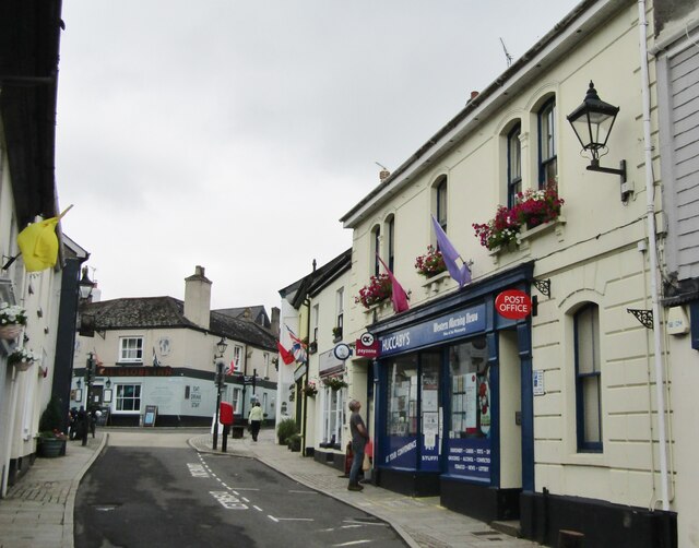
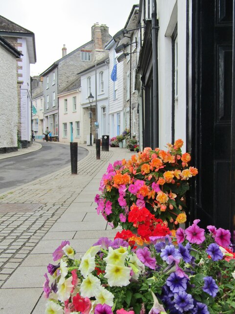
Today, Austin's Bridge continues to serve as a functional road bridge, accommodating both vehicular and pedestrian traffic. The bridge's scenic location and picturesque views of the River Taw make it a popular spot for tourists and locals alike. Visitors can enjoy leisurely walks along the riverbanks, admire the architectural marvel, or simply relax in the tranquil surroundings.
Recognized as a Grade II listed structure, Austin's Bridge stands as a testament to the rich history and cultural heritage of Devon. Its enduring presence serves as a reminder of the region's past and the importance of preserving these historical gems for future generations.
If you have any feedback on the listing, please let us know in the comments section below.
Austin's Br Images
Images are sourced within 2km of 50.475/-3.768 or Grid Reference SX7465. Thanks to Geograph Open Source API. All images are credited.


Austin's Br is located at Grid Ref: SX7465 (Lat: 50.475, Lng: -3.768)
Administrative County: Devon
District: Teignbridge
Police Authority: Devon and Cornwall
What 3 Words
///galleries.trooper.immediate. Near Buckfastleigh, Devon
Nearby Locations
Related Wikis
River Mardle
The River Mardle is a tributary of the River Dart in Devon, England. It rises on Holne Moor on Dartmoor and flows in a generally south-easterly direction...

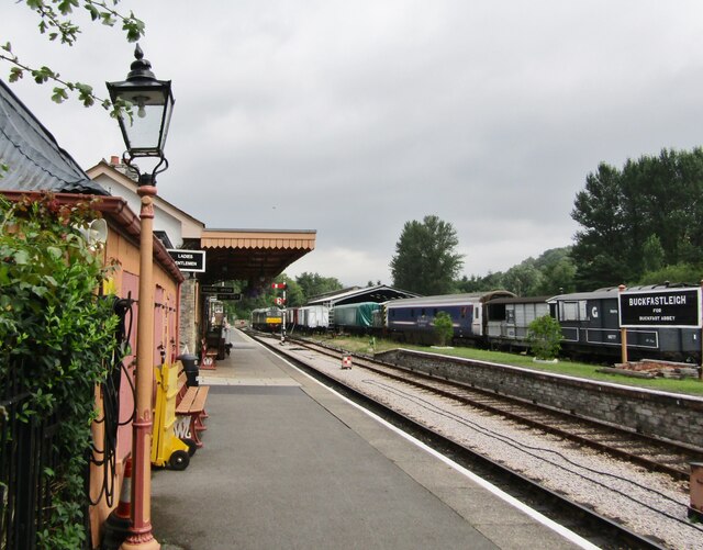
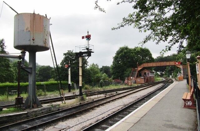
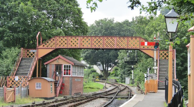
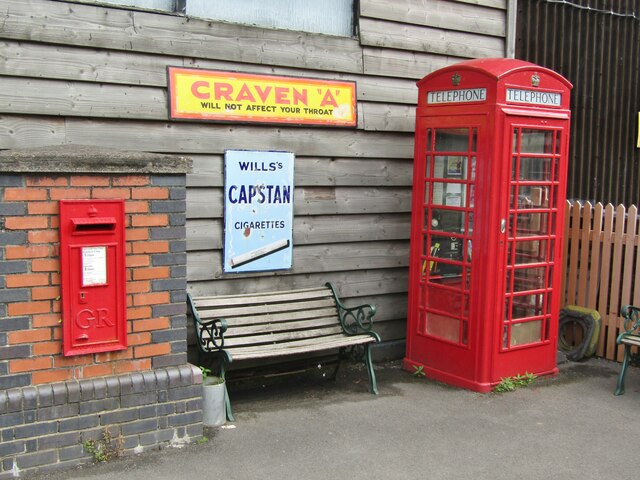
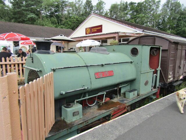
Buckfastleigh railway station
Buckfastleigh railway station is situated on the South Devon Railway, a heritage railway in Devon, England. It serves the town of Buckfastleigh. ��2�...

Buckfastleigh
Buckfastleigh is a market town and civil parish in Devon, England situated beside the Devon Expressway (A38) at the edge of the Dartmoor National Park...
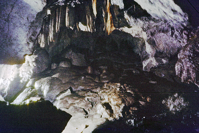
Reed's Cave
Reed's cave is a cave in Higher Kiln Quarry near Buckfastleigh, Dartmoor, Devon. It has many formations including the unique Little Man formation, which...
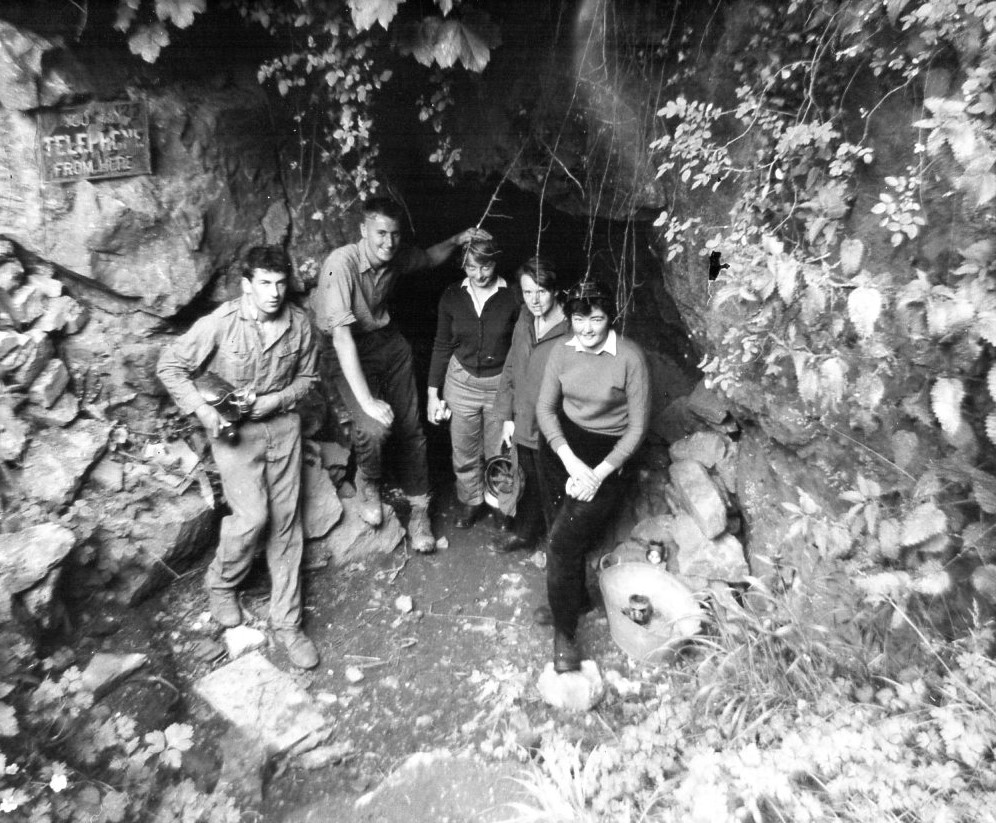
Joint Mitnor Cave
Joint Mitnor Cave, also known as Bone Cave, is a limestone cave situated in the now disused Higher Kiln Quarry near Buckfastleigh, in Devon, England. The...
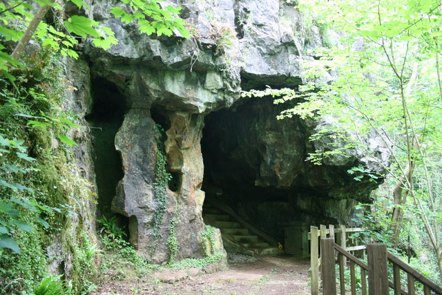
Bakers Pit
Bakers Pit is a phreatic maze cave system near Buckfastleigh, Devon, England. It was first opened in 1847 by quarrying activities.Bakers Pit is entered...

Luscombe, Rattery
Luscombe is an historic estate situated in the parish of Rattery in Devon. == History == Loscume is an estate mentioned in the Domesday Book of 1086, not...

Pennywell Farm
Pennywell Farm is a farm tourist attraction just outside the town of Buckfastleigh in South Devon, England. It is a farm 600 feet (180 m) above sea level...
Nearby Amenities
Located within 500m of 50.475,-3.768Have you been to Austin's Br?
Leave your review of Austin's Br below (or comments, questions and feedback).