Ashridge Estate
Heritage Site in Hertfordshire
England
Ashridge Estate
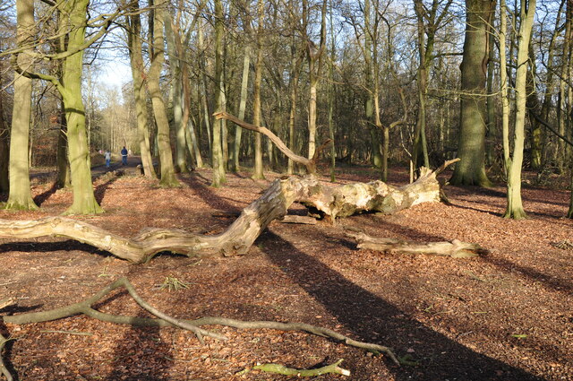
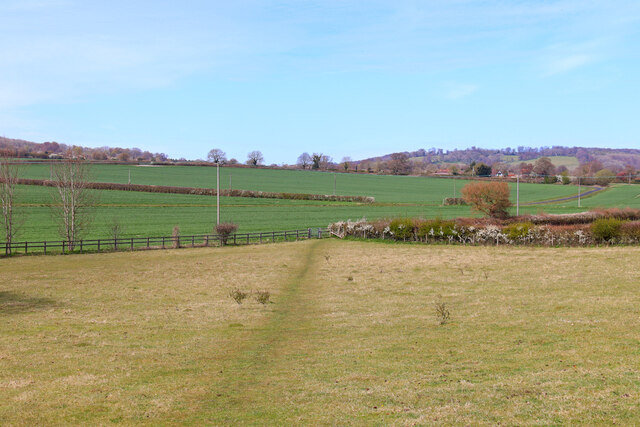
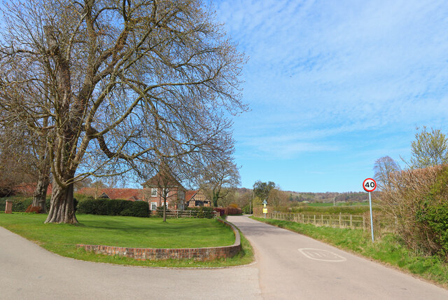
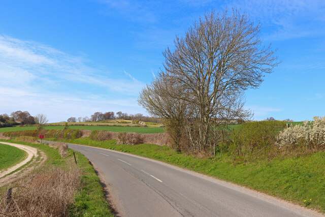
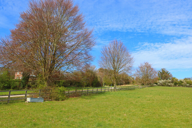
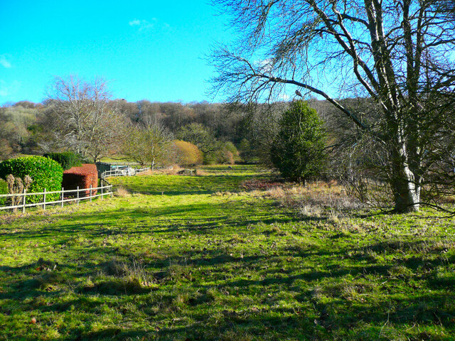
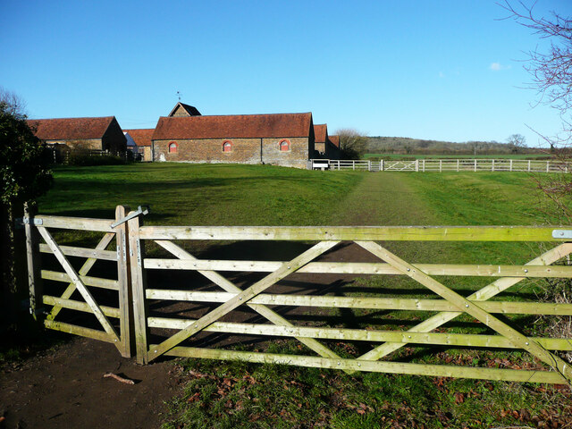
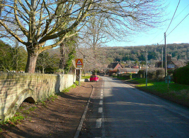
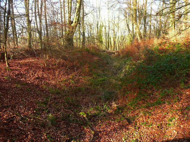
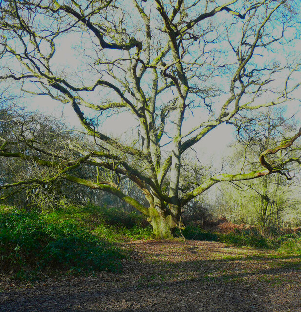
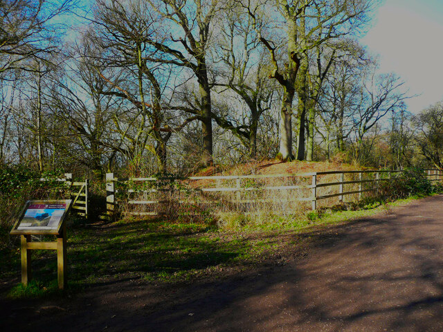
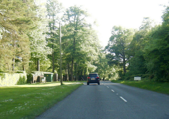
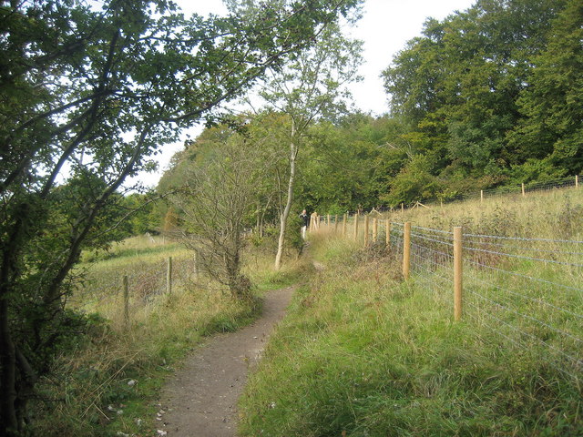
Ashridge Estate is a sprawling heritage site located in Hertfordshire, England. Covering an area of approximately 5,000 acres, it is managed by the National Trust and provides a picturesque setting for visitors to explore. The estate is renowned for its stunning woodlands, rolling hills, and diverse wildlife, making it a popular destination for nature enthusiasts.
The history of Ashridge Estate can be traced back to the 13th century when a monastery was founded on the site. Over the centuries, the estate changed hands several times and underwent various transformations. In the 19th century, it was purchased by the renowned Brownlow family who commissioned the construction of Ashridge House, an impressive Gothic revival mansion that still stands today.
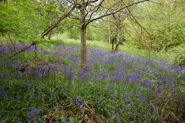
Visitors to Ashridge Estate can enjoy a range of activities, including walking and cycling through the extensive network of trails that crisscross the landscape. The woodlands are particularly popular during the spring when they come alive with a vibrant display of bluebells. Wildlife enthusiasts can spot a variety of species, including deer, badgers, and birds such as woodpeckers and nuthatches.
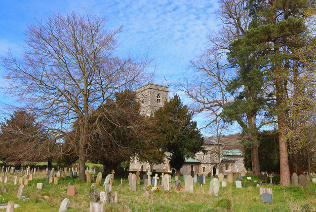
Additionally, Ashridge Estate boasts several historic features, including the Bridgewater Monument, a towering obelisk that offers panoramic views of the surrounding countryside. The estate also encompasses the ruins of the medieval monastery, which provide a glimpse into its rich past.
With its natural beauty, historical significance, and recreational opportunities, Ashridge Estate is a true gem in Hertfordshire, offering visitors a unique and enriching experience.
If you have any feedback on the listing, please let us know in the comments section below.
Ashridge Estate Images
Images are sourced within 2km of 51.808/-0.594 or Grid Reference SP9713. Thanks to Geograph Open Source API. All images are credited.
Ashridge Estate is located at Grid Ref: SP9713 (Lat: 51.808, Lng: -0.594)
What 3 Words
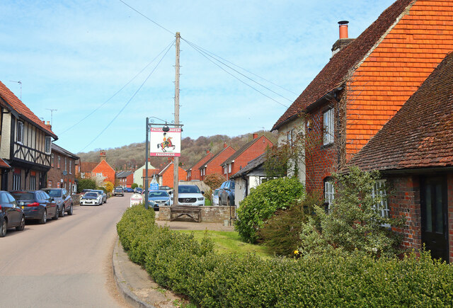
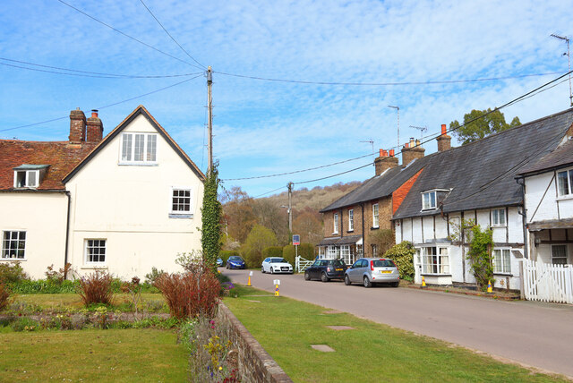
///moderated.fence.lofts. Near Ivinghoe, Buckinghamshire
Nearby Locations
Related Wikis
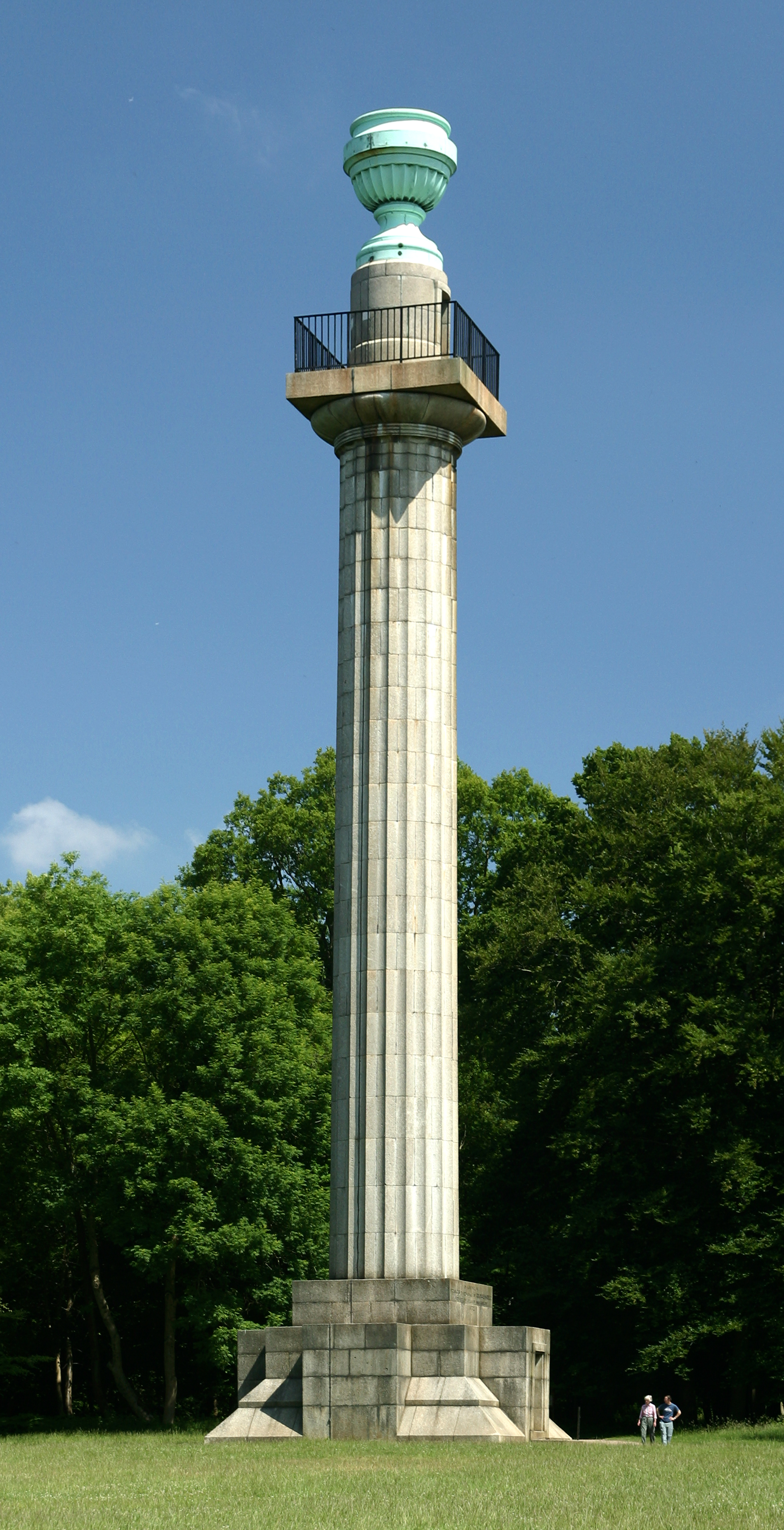
Bridgewater Monument
The Bridgewater Monument is a Grade II* listed monumental column in the Ashridge estate in Hertfordshire, England. It was built in 1832 to commemorate...

Barley End
Barley End is a hamlet within the parish of Pitstone(where the 2011 Census population was included) in Buckinghamshire, England.

Ashridge Commons and Woods
Ashridge Commons and Woods is a 640.1 hectare biological Site of Special Scientific Interest in Buckinghamshire and Hertfordshire. It is located in Little...

Stocks House
Stocks Manor House is a large Georgian mansion, built in 1773. It is the largest property in the village of Aldbury, Hertfordshire. Stocks House and its...

Aldbury
Aldbury () is a village and civil parish in Hertfordshire, England, near the borders of Buckinghamshire and Bedfordshire in the Bulbourne valley of the...

1954 Aldbury Valetta accident
On 6 January 1954 WJ474 a twin-engined Vickers Valetta training aircraft of No. 2 Air Navigation School Royal Air Force crashed near RAF Bovingdon just...

Ashridge Golf Club
Ashridge Golf Club, also Ashridge Artisans Golf Club, is a golf club in Little Gaddesden, on the border of Hertfordshire and Bedfordshire, England, 2.5...
Aldbury Nowers
Aldbury Nowers is a 19.7 hectares (49 acres) biological Site of Special Scientific Interest (SSSI) in the Chiltern Hills, north-east of Tring in Hertfordshire...
Nearby Amenities
Located within 500m of 51.808,-0.594Have you been to Ashridge Estate?
Leave your review of Ashridge Estate below (or comments, questions and feedback).