Ashbury
Heritage Site in Cornwall
England
Ashbury

Ashbury, Cornwall is a significant heritage site located in southwestern England. Situated in the heart of the picturesque county of Cornwall, Ashbury is renowned for its rich history, stunning natural beauty, and charming architecture.
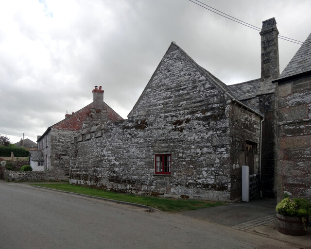
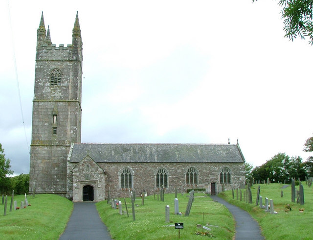
The village of Ashbury is known for its well-preserved medieval buildings and narrow cobblestone streets, which provide visitors with a unique glimpse into the past. The village's centerpiece is the Ashbury Manor, a magnificent Tudor-style mansion that dates back to the 15th century. This imposing structure showcases intricate woodwork, beautiful gardens, and an impressive collection of antique furniture, making it a must-visit for history enthusiasts.
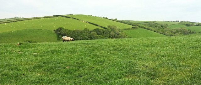
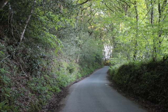
In addition to its architectural wonders, Ashbury is surrounded by breathtaking landscapes. Nestled between rolling green hills and picturesque farmland, the village offers a tranquil escape from the hustle and bustle of city life. Visitors can explore the nearby Ashbury Woods, a designated nature reserve that boasts a diverse range of flora and fauna, including ancient oak trees and rare wildflowers.
Ashbury is also home to a charming village pub, where visitors can indulge in traditional Cornish cuisine and sample locally brewed ales. The pub serves as a social hub for both locals and tourists, providing a warm and friendly atmosphere to unwind and enjoy the village's authentic charm.
Overall, Ashbury, Cornwall is a captivating heritage site that offers a perfect blend of history, natural beauty, and cultural experiences. Its enchanting architecture, idyllic landscapes, and warm hospitality make it a must-visit destination for anyone seeking an authentic taste of rural England.
If you have any feedback on the listing, please let us know in the comments section below.
Ashbury Images
Images are sourced within 2km of 50.75/-4.517 or Grid Reference SX2297. Thanks to Geograph Open Source API. All images are credited.


Ashbury is located at Grid Ref: SX2297 (Lat: 50.75, Lng: -4.517)
Unitary Authority: Cornwall
Police Authority: Devon and Cornwall
What 3 Words
///utensil.wished.upholds. Near Poundstock, Cornwall
Nearby Locations
Related Wikis
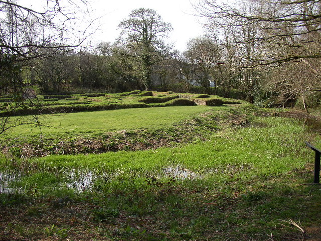
Penhallam
Penhallam is the site of a fortified manor house near Jacobstow in Cornwall, England. There was probably an earlier, 11th-century ringwork castle on the...
St Mary the Virgin's Church, Week St Mary
St Mary the Virgin's Church, Week St Mary, also known as the Church of the Nativity of the Blessed Virgin Mary, is a Grade I listed parish church in the...
Week St Mary
Week St Mary (Cornish: Gwig Sen Maria) is a village and civil parish in northeast Cornwall, England, United Kingdom. It is situated south of Bude close...

Treskinnick Cross
Treskinnick Cross is a hamlet at Grid ref. SX2098 on the A39 main road near Poundstock in northeast Cornwall, England, United Kingdom. == References ==
Nearby Amenities
Located within 500m of 50.75,-4.517Have you been to Ashbury?
Leave your review of Ashbury below (or comments, questions and feedback).