Arreton Manor
Heritage Site in Hampshire
England
Arreton Manor
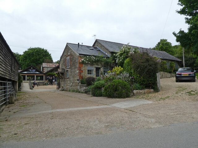
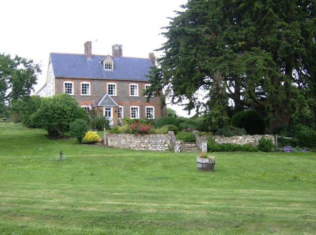
Arreton Manor, located in the picturesque county of Hampshire, England, is a historic heritage site that holds significant cultural and architectural importance. Situated near the village of Arreton, the manor is believed to have origins dating back to the 12th century, making it one of the oldest continuously inhabited houses in the country.
The manor's architectural style is predominantly Elizabethan, with later additions and alterations from different periods. It boasts a striking timber-framed structure, adorned with intricately carved features that provide a glimpse into the craftsmanship of the era. The surrounding gardens and grounds further enhance the manor's charm, with well-maintained lawns, vibrant flower beds, and ancient trees.
Throughout its long history, Arreton Manor has been associated with various notable figures, including Queen Elizabeth I and King Charles I. It is said that the queen visited the manor during her reign, leaving behind a lasting legacy. The manor also witnessed significant moments during the English Civil War, with King Charles I using it as a temporary refuge during his escape from the Battle of Carisbrooke Castle.
Today, Arreton Manor serves as a private residence and is not open to the public. However, its historical importance and architectural beauty make it a cherished landmark in the region. The manor's well-preserved features and intriguing past continue to captivate visitors and historians alike, offering a glimpse into the rich heritage of Hampshire and the nation as a whole.
If you have any feedback on the listing, please let us know in the comments section below.
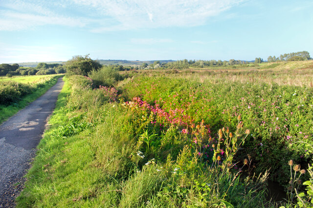
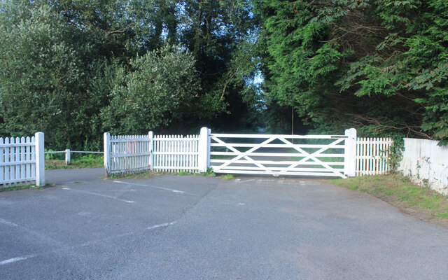
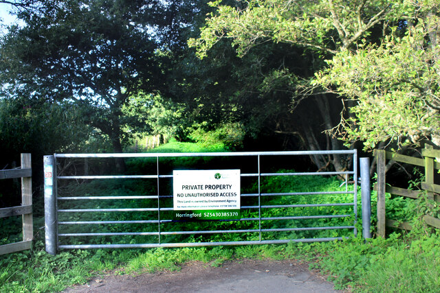
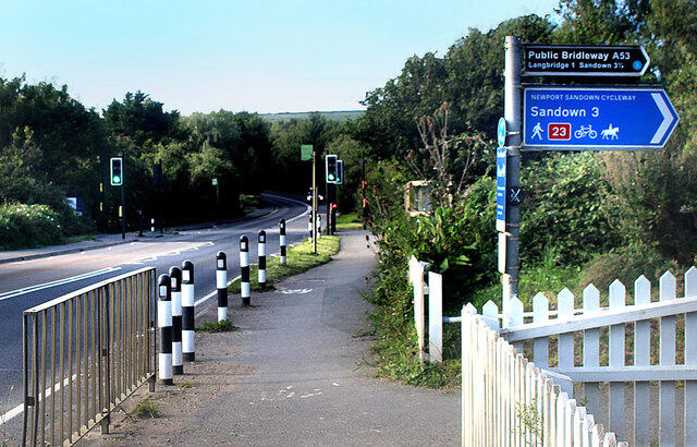
Arreton Manor Images
Images are sourced within 2km of 50.675/-1.243 or Grid Reference SZ5386. Thanks to Geograph Open Source API. All images are credited.


Arreton Manor is located at Grid Ref: SZ5386 (Lat: 50.675, Lng: -1.243)
What 3 Words
///escapades.strides.zoom. Near Newchurch, Isle of Wight
Nearby Locations
Related Wikis

Arreton
Arreton is a village and civil parish in the central eastern part of the Isle of Wight, England. It is about 3 miles south east of Newport. == Name... ==

St George's Church, Arreton
St George's Church, Arreton, is a parish church in the Church of England located in Arreton, Isle of Wight. == History == The church is medieval and the...

Arreton Manor
Arreton Manor is a manor house in Arreton, Isle of Wight, England. Its history is traced to 872 AD to the time of King Alfred the Great and his parents...
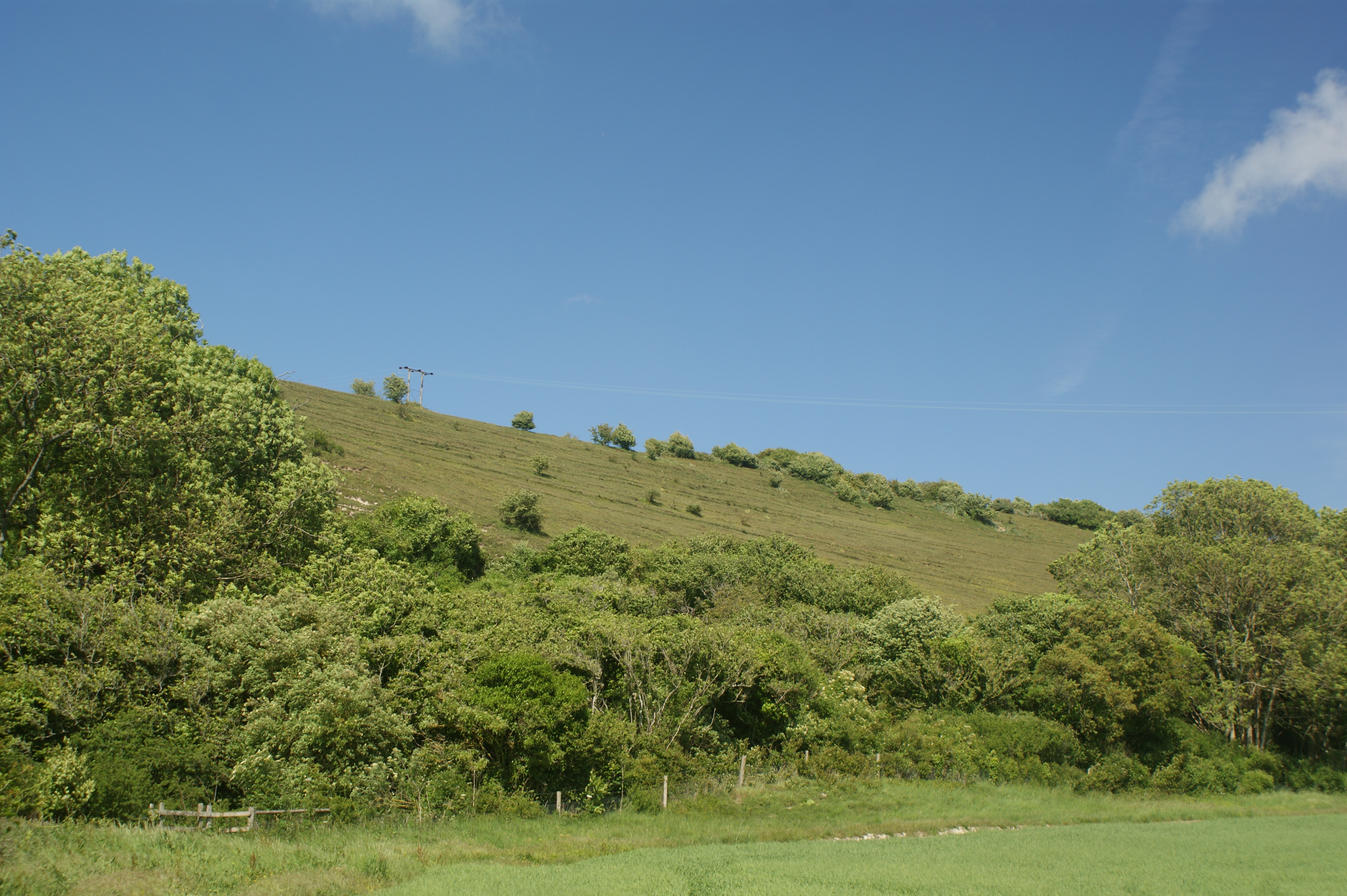
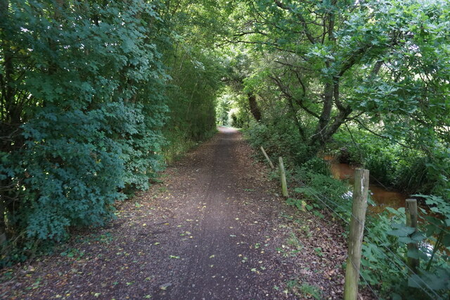
Arreton Down
Arreton Down (grid reference SZ540872) is a 29.77 hectare biological Site of Special Scientific Interest on the Isle of Wight, originally notified in 1979...

Horringford
Horringford is a settlement on the Isle of Wight, off the south coast of England. It is in the civil parish of Arreton. The hamlet lies on the A3056 road...
Great East Standen Manor
Great East Standen Manor is a manor house on the Isle of Wight, England. Its history dates to the Norman Conquest; and it was allegedly once the residence...

Horringford railway station
Horringford railway station was an intermediate station situated on the edge of Horringford village on the line from Newport to Sandown incorporated by...
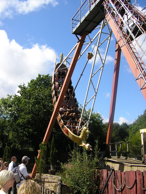
Robin Hill Country Park
Robin Hill Country Park is an 88-acre (36 ha) theme park located in Downend; outside Newport, Isle of Wight. Robin Hill is owned by the Dabell family,...
Nearby Amenities
Located within 500m of 50.675,-1.243Have you been to Arreton Manor?
Leave your review of Arreton Manor below (or comments, questions and feedback).