Arnage Castle

Heritage Site in Aberdeenshire

Scotland

Arnage Castle

Arnage Station An overgrown platform on the site of Arnage Station, Formartine and Buchan Railway.
Arnage Station Credit: Richard Webb

Arnage Castle is a historic monument located in Aberdeenshire, Scotland. Situated near the village of Ellon, the castle holds immense historical significance and is recognized as a Category A listed building and a scheduled ancient monument.

The castle dates back to the 16th century and was originally constructed as a tower house. It was later expanded and modified in the 17th and 18th centuries. The architecture showcases a blend of various styles, including medieval, Jacobean, and Georgian influences. The castle is a fine example of Scottish baronial architecture, with its distinctive turreted structure and imposing presence.

Arnage Castle played a significant role in the region's history and witnessed various conflicts and sieges over the centuries. It was a stronghold of the powerful Gordon family, who held the title of Earls of Aberdeen. The castle was strategically located near the River Ythan, providing a defensive advantage during times of conflict.

Today, Arnage Castle stands as a testament to Scotland's rich architectural heritage. Although the castle is in ruins, its imposing walls and remnants of its past glory are still visible. The structure is surrounded by picturesque grounds, featuring a walled garden and a small chapel.

As a designated heritage site, Arnage Castle attracts visitors from around the world who are interested in exploring Scotland's history and architecture. The castle offers a glimpse into the past, allowing visitors to imagine the grandeur and historical significance it once held.

If you have any feedback on the listing, please let us know in the comments section below.

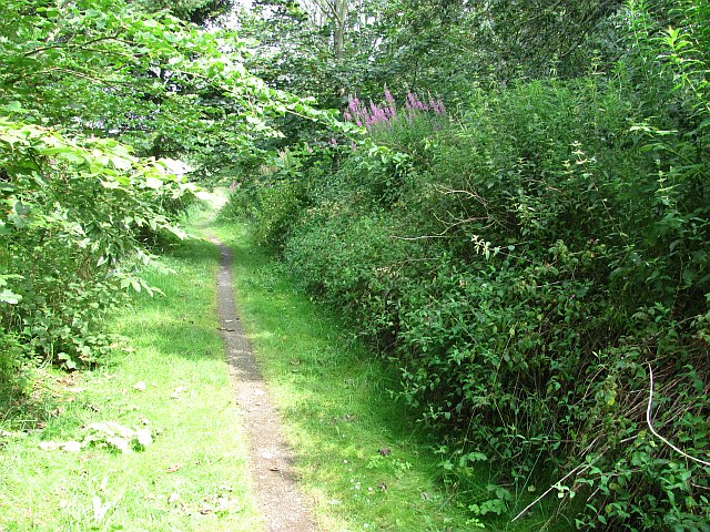
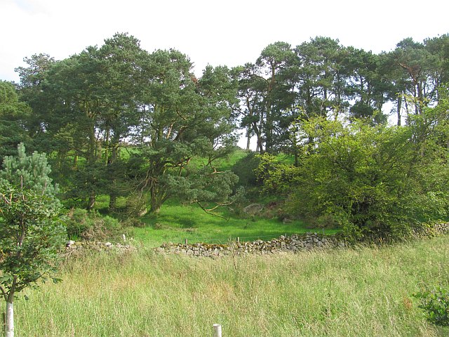
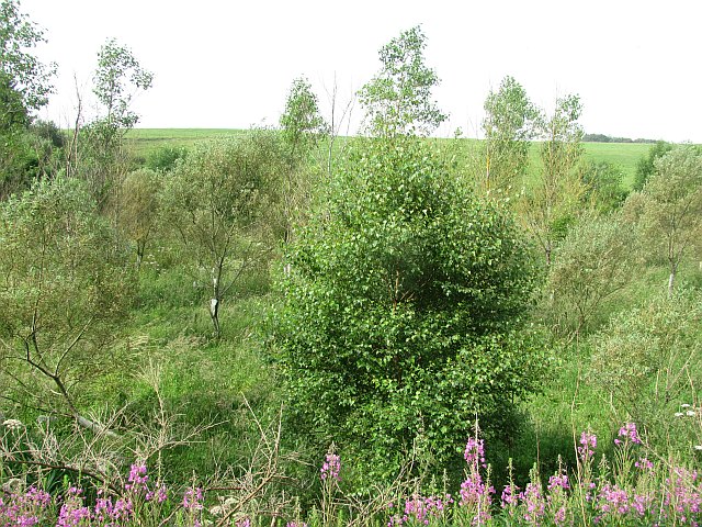
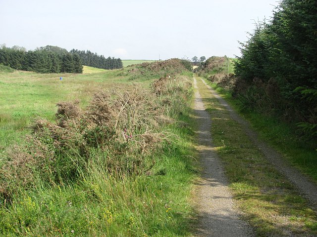
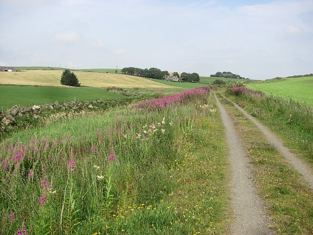
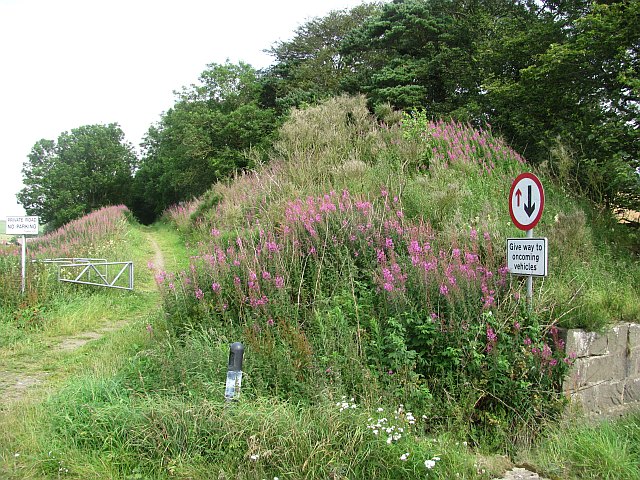
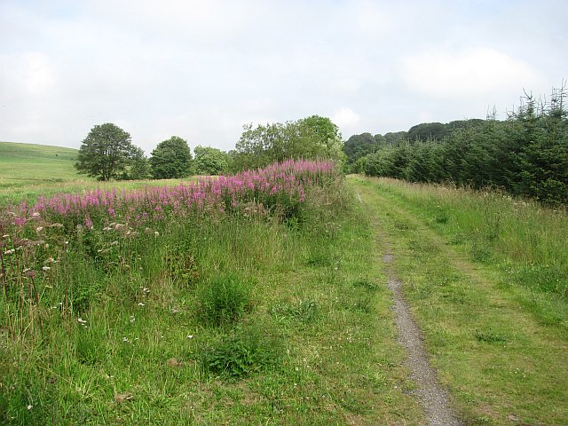
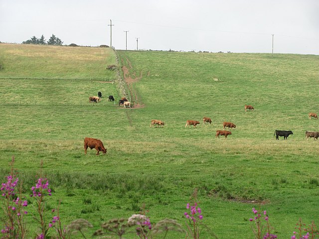
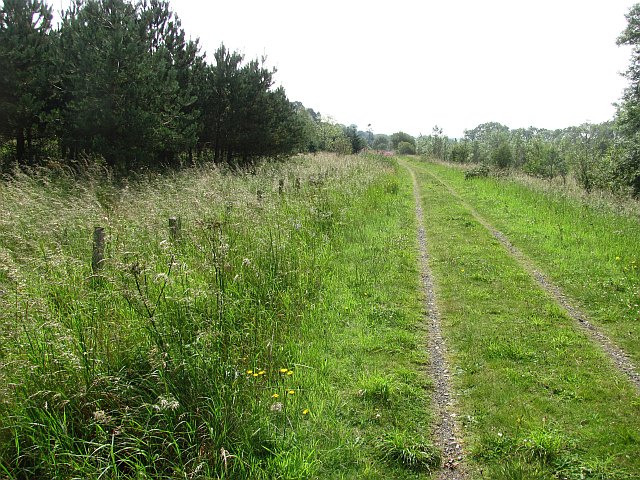
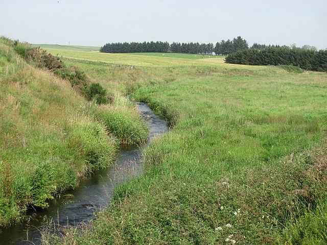
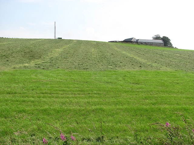
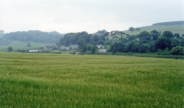
Arnage Castle Images

Images are sourced within 2km of 57.428/-2.108 or Grid Reference NJ9337. Thanks to Geograph Open Source API. All images are credited.

Arnage Station An overgrown platform on the site of Arnage Station, Formartine and Buchan Railway.
Arnage Station
An overgrown platform on the site of Arnage Station, Formartine and Buchan Railway.
Woodland, Waulkmill Brae View eastwards from the trackbed of the Formartine and Buchan Railway.
Woodland, Waulkmill Brae
View eastwards from the trackbed of the Formartine and Buchan Railway.
Young woodland beside the Ebrie Water A recently planted woodland on damp ground between the old railway and the Ebrie Water.
Young woodland beside the Ebrie Water
A recently planted woodland on damp ground between the old railway and the Ebrie Water.
Formartine and Buchan  Way The trackbed is used as a farm road here. The path varies throughout its length and is rough in places. Usually though it gives easy riding in a wild and empty setting.
Formartine and Buchan Way
The trackbed is used as a farm road here. The path varies throughout its length and is rough in places. Usually though it gives easy riding in a wild and empty setting.
Formartine and Buchan  Way The trackbed is used as a road here and is well surfaced. View towards Ebrie Lodge.
Formartine and Buchan Way
The trackbed is used as a road here and is well surfaced. View towards Ebrie Lodge.
Missing bridge Site of a bridge over a minor road just south of Arnage Station on the Formartine and Buchan Railway.
Missing bridge
Site of a bridge over a minor road just south of Arnage Station on the Formartine and Buchan Railway.
Formartine and Buchan Way The old railway just north of Arnage Station.
Formartine and Buchan Way
The old railway just north of Arnage Station.
Cattle, Milton of Drumwhindle
Formartine and Buchan Way The former railway is now an 80km rails to trails route between Fraserburgh, Peterhead and Dyce.
Formartine and Buchan Way
The former railway is now an 80km rails to trails route between Fraserburgh, Peterhead and Dyce.
Ebrie Water
Ebrie Water
Waulkmill of Auchengatt
Site of Arnage station in valley of Ebrie Burn View eastward from the road to Drumwhindle. Nowadays the Buchan Line Walkway follows along here the ex-GNofSR secondary main line from (Aberdeen) - Dyce - Ellon (to right) - Maud (to left) - Peterhead/Fraserburgh up this valley. Arnage station was closed 4/10/65, when the passenger services to Fraserbourgh and Peterhead ceased, although freight continued Maud - Peterhead until 7/9/70 and Dyce - Maud - Fraserburgh until 6/10/79.
Site of Arnage station in valley of Ebrie Burn
View eastward from the road to Drumwhindle. Nowadays the Buchan Line Walkway follows along here the ex-GNofSR secondary main line from (Aberdeen) - Dyce - Ellon (to right) - Maud (to left) - Peterhead/Fraserburgh up this valley. Arnage station was closed 4/10/65, when the passenger services to Fraserbourgh and Peterhead ceased, although freight continued Maud - Peterhead until 7/9/70 and Dyce - Maud - Fraserburgh until 6/10/79.
Backhill of Drumwhindle
Junction of minor roads near Airdlin
Occupation bridge... ...over the Formrtine and Buchan Way.  It seems to connect two fields.
Occupation bridge...
...over the Formrtine and Buchan Way. It seems to connect two fields.
Former platelayer's hut... ...on the Formartine and Buchan Way.  This standard LNER 'type D' prefabricated concrete design dating from the 1930s can be found at several places on the former railway line.   Waulkmill of Auchnagatt farm can just be seen on the hilltop in the distance.
Former platelayer's hut...
...on the Formartine and Buchan Way. This standard LNER 'type D' prefabricated concrete design dating from the 1930s can be found at several places on the former railway line. Waulkmill of Auchnagatt farm can just be seen on the hilltop in the distance.
Looking towards Milton of Inkhorn farm... ...from the Formartine and Buchan Way with Ebrie Burn in the foreground.
Looking towards Milton of Inkhorn farm...
...from the Formartine and Buchan Way with Ebrie Burn in the foreground.
Northbound cyclist... ...on the Formartine and Buchan Way.   This part of the long-distance footpath is very quiet and you can walk for kilometres without seeing anybody apart from the occasional bike rider...
Northbound cyclist...
...on the Formartine and Buchan Way. This part of the long-distance footpath is very quiet and you can walk for kilometres without seeing anybody apart from the occasional bike rider...
Show me another place!

Arnage Castle is located at Grid Ref: NJ9337 (Lat: 57.428, Lng: -2.108)

What 3 Words

///coats.gladiator.trickles. Near Ellon, Aberdeenshire

Nearby Locations

Arnage Castle

Related Wikis

Nearby Amenities

Located within 500m of 57.428,-2.108
Power: pole
Lat/Long: 57.4248483/-2.1022899
Power: pole
Lat/Long: 57.4250138/-2.1034672
Power: pole
Lat/Long: 57.4252006/-2.1046528
Power: pole
Lat/Long: 57.4253796/-2.1057694
Power: pole
Lat/Long: 57.4255474/-2.1068567
Power: pole
Lat/Long: 57.4256633/-2.1072436
Power: pole
Lat/Long: 57.426045/-2.1083832
Power: pole
Lat/Long: 57.4263264/-2.1095374
Power: pole
Lat/Long: 57.4265944/-2.1106937
Power: pole
Lat/Long: 57.4272282/-2.11148
Power: pole
Lat/Long: 57.4278901/-2.112308
Power: pole
Lat/Long: 57.4279914/-2.1124272
Power: pole
Lat/Long: 57.4284473/-2.1129855
Power: pole
Lat/Long: 57.4289865/-2.1136714
Power: pole
Lat/Long: 57.4294627/-2.1142548
Power: pole
Lat/Long: 57.4301156/-2.1150723
Power: pole
Lat/Long: 57.4250453/-2.1075217
Power: pole
Lat/Long: 57.4245871/-2.1081615
The data included in this document is from www.openstreetmap.org. The data is made available under ODbL.

Have you been to Arnage Castle?

Leave your review of Arnage Castle below (or comments, questions and feedback).