Andyke
Heritage Site in Hampshire Test Valley
England
Andyke
Andyke is a small village located in the county of Hampshire, England. Situated approximately 15 miles northeast of Winchester, it is renowned for its historical significance and has been designated as a heritage site. The village is nestled amidst picturesque countryside and is known for its charming thatched cottages and traditional English architecture.
One of the main attractions in Andyke is its ancient church, St. Mary's, which dates back to the 12th century. The church boasts stunning stained glass windows and intricate stone carvings, making it a popular destination for history enthusiasts and religious pilgrims alike. The church is also a venue for various cultural events and musical performances throughout the year.
In addition to its religious heritage, Andyke is also home to a well-preserved medieval castle. The castle, originally built in the 13th century, offers visitors a glimpse into the past with its impressive fortifications and towers. Guided tours are available, allowing visitors to learn about the castle's rich history and explore its grounds, which include a beautiful garden and a small museum displaying artifacts from the area.
Andyke is also known for its vibrant local community, with several traditional pubs and shops lining its quaint streets. Visitors can enjoy a pint of locally brewed ale or indulge in traditional British cuisine at one of the village's charming eateries.
Overall, Andyke, Hampshire, is a captivating heritage site that offers visitors a unique blend of history, natural beauty, and traditional English charm.
If you have any feedback on the listing, please let us know in the comments section below.
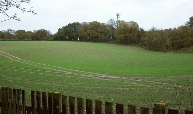
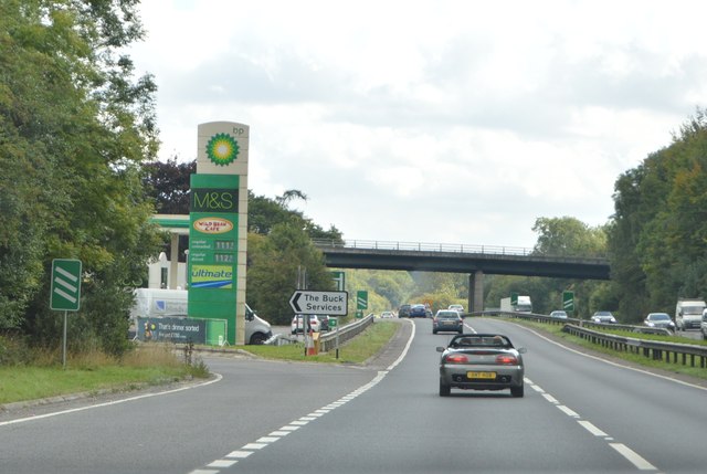
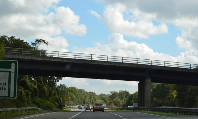
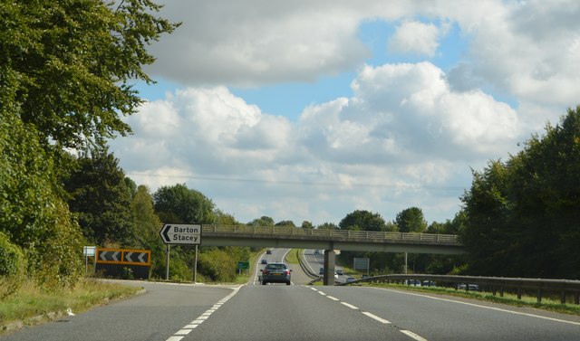
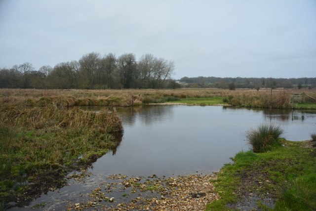
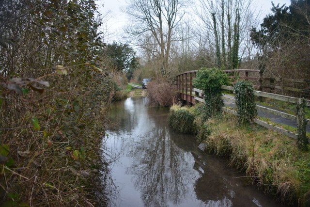
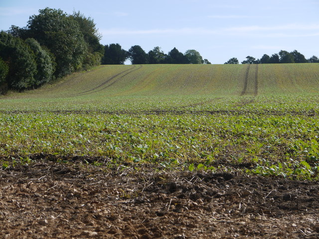
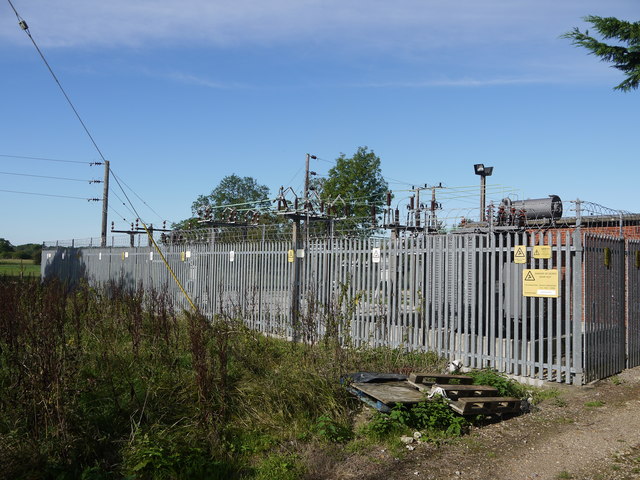
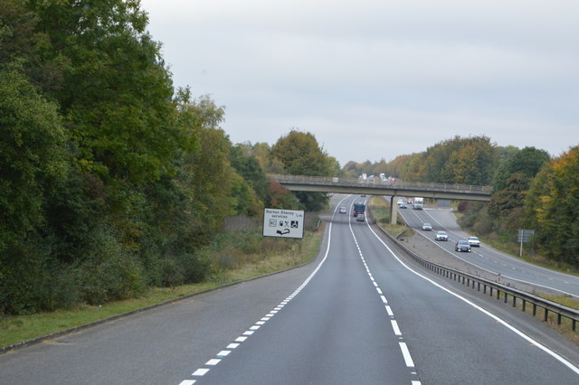
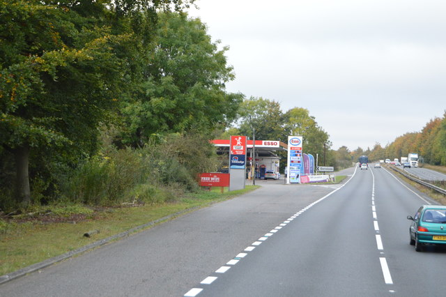
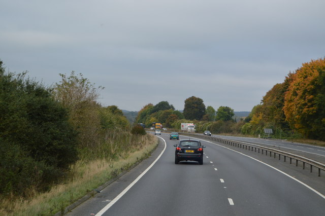
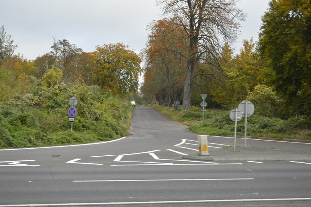
Andyke Images
Images are sourced within 2km of 51.18/-1.392 or Grid Reference SU4242. Thanks to Geograph Open Source API. All images are credited.
Andyke is located at Grid Ref: SU4242 (Lat: 51.18, Lng: -1.392)
Administrative County: Hampshire
District: Test Valley
Police Authority: Hampshire
What 3 Words
///maybe.eventful.urgent. Near Andover, Hampshire
Nearby Locations
Related Wikis
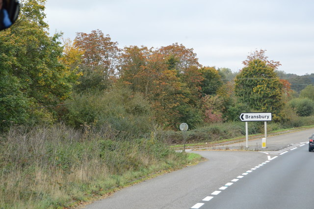
Bransbury
Bransbury is a hamlet in Hampshire, England, part of the parish of Barton Stacey. The nearest village is Barton Stacey (where the 2011 census was included...

Longparish railway station
Longparish railway station served the village of Longparish, Hampshire, England from 1885 to 1956 on the Fullerton to Hurstbourne Line. == History == The...

Bransbury Common
Bransbury Common is a 158.6-hectare (392-acre) biological Site of Special Scientific Interest south-east of Andover in Hampshire. It is a Nature Conservation...

South Harewood
South Harewood is a hamlet and civil parish in the Test Valley district of Hampshire, England. At the 2011 Census the population according to the Post...

Barton Stacey
Barton Stacey is a village and undulating civil parish, which includes the hamlets of Bransbury, Newton Stacey, Drayton and Cocum, in the Test Valley district...

Longparish
Longparish is a village and civil parish in Hampshire, England. It is composed of the five hamlets of Middleton, East Aston, West Aston ,Forton and Longparish...

Newton Stacey
Newton Stacey is a hamlet in the Barton Stacey civil parish in the Test Valley district of Hampshire, England. Its nearest town is Stockbridge, which lies...
Barton Stacey railway station
Barton Stacey railway station was a small single platform halt serving an army camp near the village of Barton Stacey. It was opened by February 1940;...
Nearby Amenities
Located within 500m of 51.18,-1.392Have you been to Andyke?
Leave your review of Andyke below (or comments, questions and feedback).