Ana Cross

Heritage Site in Yorkshire

England

Ana Cross

Rosedale glassworks Information sign at the site of the Rosedale glassworks.
Rosedale glassworks Credit: T Eyre

Ana Cross is a historic site located in Yorkshire, England. It is a significant heritage site that holds great historical and cultural importance. The cross stands as a testament to the region's rich history and is a popular attraction for tourists and history enthusiasts.

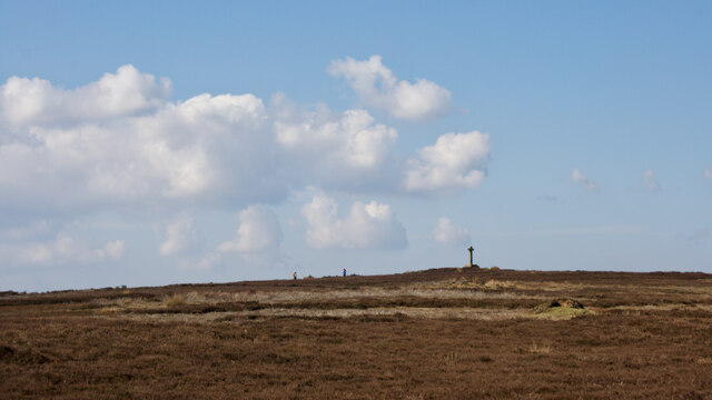
The Ana Cross is an ancient stone cross that dates back to the 9th century. It is believed to have been erected as a marker or boundary stone, possibly associated with a nearby Anglo-Saxon monastery. The cross stands at approximately 10 feet tall and is made of local sandstone. It features intricate carvings and decorative details, showcasing the skilled craftsmanship of the time.

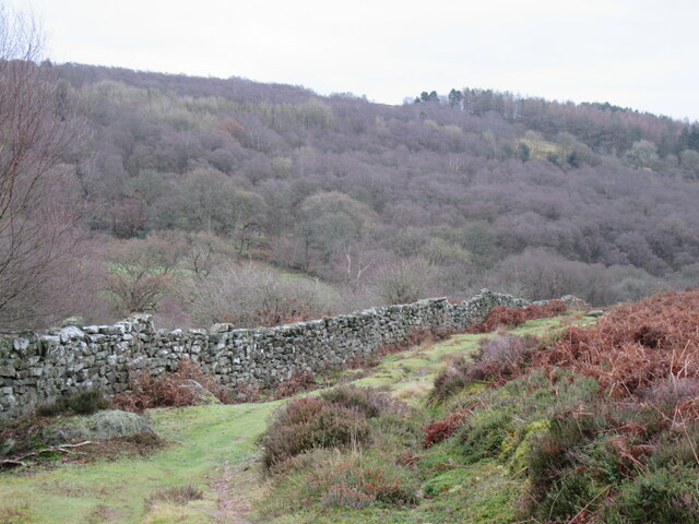
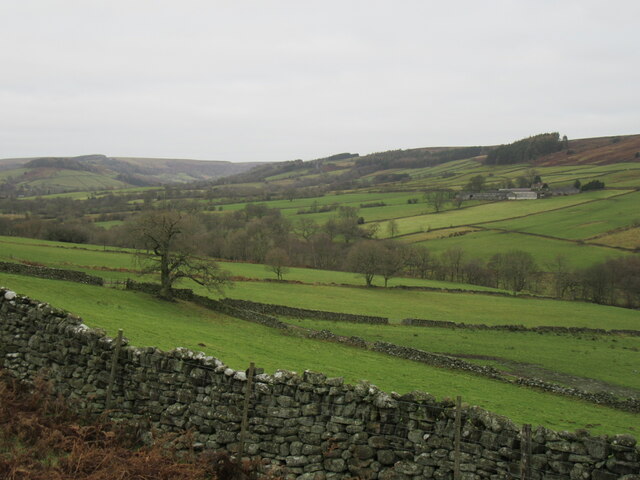
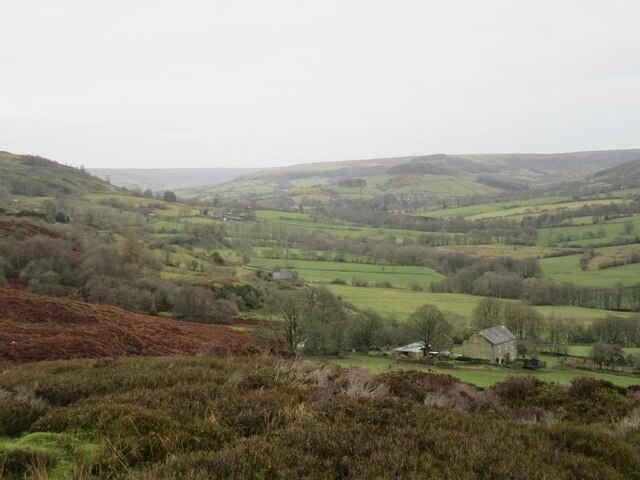
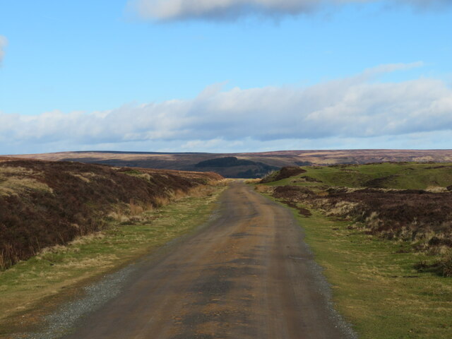
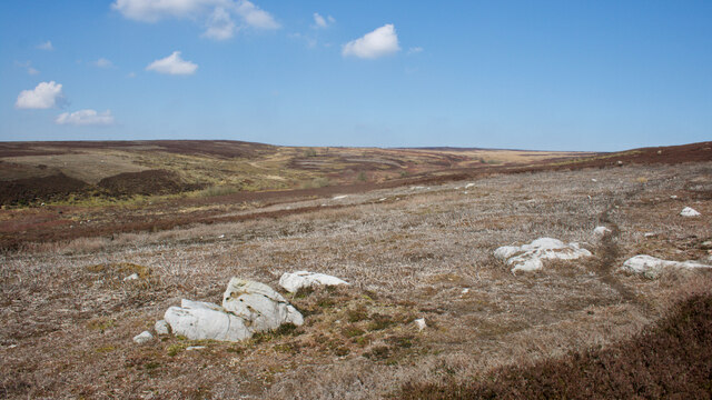
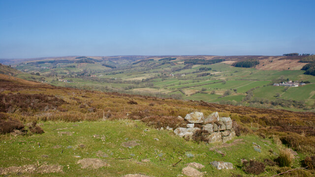
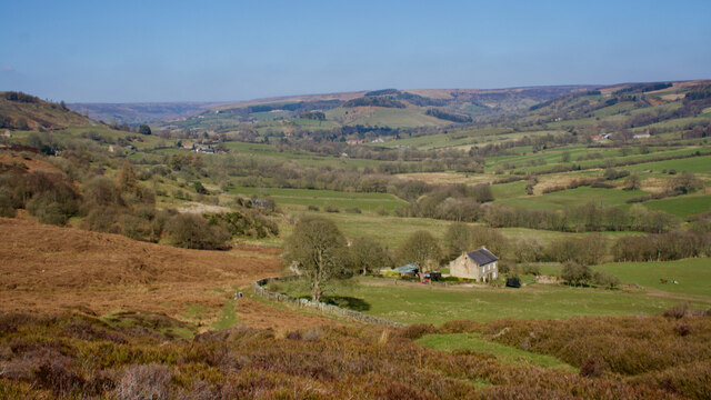
The site of Ana Cross is surrounded by picturesque countryside, providing visitors with a serene and peaceful atmosphere. The cross is set on a small mound, adding to its grandeur and making it a prominent landmark in the area. Visitors can take a leisurely stroll around the site, appreciating the beauty of the cross and the surrounding landscape.

Ana Cross offers a glimpse into Yorkshire's past and provides a window into the region's cultural heritage. It serves as a reminder of the early Christian presence in the area and the importance of religious landmarks during that period. The cross's preservation and maintenance are overseen by local authorities and historical societies, ensuring its continued significance for future generations.

Overall, Ana Cross in Yorkshire is a captivating heritage site that showcases the region's rich history and cultural heritage. Its unique architecture and historical significance make it a must-visit destination for anyone interested in exploring Yorkshire's past.

If you have any feedback on the listing, please let us know in the comments section below.

Ana Cross Images

Images are sourced within 2km of 54.332/-0.885 or Grid Reference SE7293. Thanks to Geograph Open Source API. All images are credited.

Rosedale glassworks Information sign at the site of the Rosedale glassworks.
Rosedale glassworks
Information sign at the site of the Rosedale glassworks.
Lower Rosedale The bottom part of Rosedale near the site of the glassworks.
Lower Rosedale
The bottom part of Rosedale near the site of the glassworks.
Near Hollins Farm Rosedale near Hollins Farm.
Near Hollins Farm
Rosedale near Hollins Farm.
Above Hollins Farm Looking north into Rosedale.
Above Hollins Farm
Looking north into Rosedale.
Old reservoir on the moor A remnant of a past industrial age. This small reservoir is fed by a leat that runs across the moor, whilst the reservoir provided water for the winding engine that hauled trucks up from Hollins Mine in the valley bottom. Down the moorside from here is rough grassland, but with a few old lumps of concrete and bricks sticking out of the ground on the site of the former winding engine house.
Old reservoir on the moor
A remnant of a past industrial age. This small reservoir is fed by a leat that runs across the moor, whilst the reservoir provided water for the winding engine that hauled trucks up from Hollins Mine in the valley bottom. Down the moorside from here is rough grassland, but with a few old lumps of concrete and bricks sticking out of the ground on the site of the former winding engine house.
Track to cottages at Bank Top A wide, smooth track which follows the course of the former Rosedale railway which terminated here with sidings and a coal depot.
Track to cottages at Bank Top
A wide, smooth track which follows the course of the former Rosedale railway which terminated here with sidings and a coal depot.
Remains of old calcining kilns The calcining kilns at bank Top were built to purify the iron ore that was being mined near the bottom of the hill at Hollins Mines. Ore was hauled up to this level on a tramway and the kilns were to extract some of the waste material from the ore before it was transported by rail towards the Teesside ironworks, the idea being that removing waste materials here would save on weight being transported by rail. The kilns may have had a relatively short life as the incline from the mie opened in 1861, but the mines ceased working in 1885.
Remains of old calcining kilns
The calcining kilns at bank Top were built to purify the iron ore that was being mined near the bottom of the hill at Hollins Mines. Ore was hauled up to this level on a tramway and the kilns were to extract some of the waste material from the ore before it was transported by rail towards the Teesside ironworks, the idea being that removing waste materials here would save on weight being transported by rail. The kilns may have had a relatively short life as the incline from the mie opened in 1861, but the mines ceased working in 1885.
Cold war relic Old Royal Observer Corps nuclear bunker at the top of Rosedale Chimney Bank.
Cold war relic
Old Royal Observer Corps nuclear bunker at the top of Rosedale Chimney Bank.
Spaunton Moor Yellowed grasses contrast with dark heather on the moor in this late winter scene. To the left is the shallow bowl that is the developing valley of Hole Beck which runs down to Lastingham. That village is hidden, but beyond it are the steep wooded slopes that mark the northern edge of the Tabular Hills, whilst in the far distance is the outline of the Wolds.
Spaunton Moor
Yellowed grasses contrast with dark heather on the moor in this late winter scene. To the left is the shallow bowl that is the developing valley of Hole Beck which runs down to Lastingham. That village is hidden, but beyond it are the steep wooded slopes that mark the northern edge of the Tabular Hills, whilst in the far distance is the outline of the Wolds.
Looking west across the moor West from Spaunton Moor across heather clad slopes of acidic Jurassic sandstones. In the distance are the dramatic profiles of the northern scarp edges of the limestone Tabular Hills, the one nearest to the camera being Boonhill Common above Gillamoor, beyond which is the long prow of Rollgate Bank, with probably a small section of Helmsley Bank in the far distance.
Looking west across the moor
West from Spaunton Moor across heather clad slopes of acidic Jurassic sandstones. In the distance are the dramatic profiles of the northern scarp edges of the limestone Tabular Hills, the one nearest to the camera being Boonhill Common above Gillamoor, beyond which is the long prow of Rollgate Bank, with probably a small section of Helmsley Bank in the far distance.
Quarry, Spaunton Moor North York Moors National Park HER Map. RUINED BUILDING and QUARRY. HER Nos: 1261/7833 [online] Available at: <span class="nowrap"><a title="https://www.northyorkmoors.org.uk/discover/archaeology/her-map" rel="nofollow ugc noopener" href="https://www.northyorkmoors.org.uk/discover/archaeology/her-map">Link</a><img style="margin-left:2px;" alt="External link" title="External link - shift click to open in new window" src="https://s1.geograph.org.uk/img/external.png" width="10" height="10"/></span> [Accessed 26 Mar. 2022].
Quarry, Spaunton Moor
North York Moors National Park HER Map. RUINED BUILDING and QUARRY. HER Nos: 1261/7833 [online] Available at: LinkExternal link [Accessed 26 Mar. 2022].
Spaunton Moor
Spaunton Moor
Ana Cross
Ana Cross
Grouse butt
Grouse butt
Hollins Farm
Hollins Farm
View to Dyke House
View to Dyke House
Hollins Farm
Hollins Farm
Mill Farm
Mill Farm
Show me another place!

Ana Cross is located at Grid Ref: SE7293 (Lat: 54.332, Lng: -0.885)

Division: North Riding

What 3 Words

///disbelief.mining.pedicure. Near Kirkbymoorside, North Yorkshire

Nearby Locations

Ana Cross

Related Wikis

Rosedale Chimney Bank

Rosedale Chimney Bank or just Chimney Bank is a hill pass that carries a minor road between Rosedale Abbey and Hutton-le-Hole in the Ryedale district of...

Rosedale Abbey

Rosedale Abbey is a village in the Ryedale district of North Yorkshire, England. It is approximately 8 miles (13 km) north-west of Pickering, 8 miles south...

Rosedale, North Yorkshire

Rosedale is a valley located almost in the centre of the North York Moors national park in North Yorkshire, England. The nearest town is Kirkbymoorside...

Rosedale Priory

Rosedale Priory was a priory in Rosedale Abbey, North Yorkshire, England that was founded c. 1150–1199. By the time the priory was suppressed in 1535,...

Nearby Amenities

Located within 500m of 54.332,-0.885
Note: public bridleway is signed at south, permissive bridleway sign at north. I'm guessing they join here
Lat/Long: 54.3287299/-0.8869837
Ana Cross
Historic: wayside_cross
Tourism: viewpoint
Wikidata: Q26441946
Lat/Long: 54.334854/-0.8870227
Leisure: bird_hide
Lat/Long: 54.3358631/-0.8828209
Leisure: bird_hide
Lat/Long: 54.3356644/-0.8834023
Man Made: cairn
Lat/Long: 54.3290801/-0.8870735
Man Made: cairn
Lat/Long: 54.3296228/-0.8868803
The data included in this document is from www.openstreetmap.org. The data is made available under ODbL.

Have you been to Ana Cross ?

Leave your review of Ana Cross below (or comments, questions and feedback).