An Dun

Heritage Site in Argyllshire

Scotland

An Dun

Cottage beside Sluain Burn The cottage is on the south side of the Sluain Burn; it's also beside a minor road which can be detected through vegetation at the right side of the image.
Cottage beside Sluain Burn Credit: Trevor Littlewood

An Dun, located in Argyllshire, Scotland, is a prominent heritage site known for its historical significance and breathtaking natural beauty. The name "An Dun" translates to "The Fort" in Gaelic, which accurately describes the main feature of this site.

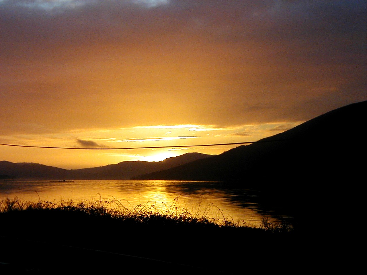
This ancient fortification is situated on a rocky promontory overlooking the Sound of Jura, providing visitors with stunning panoramic views of the surrounding landscape. The fort itself consists of a series of stone walls and ramparts, which were built in the Iron Age, around 2,500 years ago. The construction techniques used in An Dun are a testament to the advanced engineering skills of the ancient inhabitants.

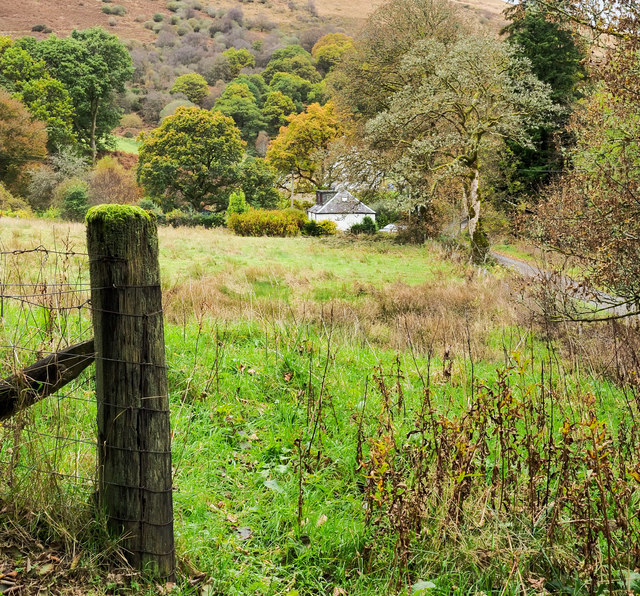
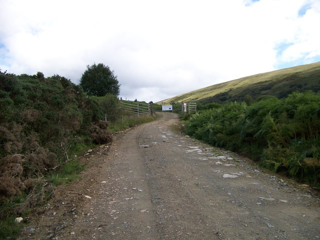
The site is accessed via a short hike along a well-marked trail, which adds to the sense of adventure and exploration. As visitors ascend to the fort, they can admire the rugged coastal scenery and observe the diverse flora and fauna that thrive in this unique environment.

An Dun is not only a historical landmark but also a site of ecological importance. The area surrounding the fort is designated as a nature reserve, protecting its rich biodiversity. It is home to various species of birds, including puffins and golden eagles, as well as rare plants such as orchids and heather.

For history enthusiasts and nature lovers alike, An Dun in Argyllshire offers a unique experience that combines archaeological wonders with stunning natural beauty. Whether one is interested in delving into the past or simply enjoying the awe-inspiring scenery, An Dun provides an unforgettable visit.

If you have any feedback on the listing, please let us know in the comments section below.

An Dun Images

Images are sourced within 2km of 56.168/-5.068 or Grid Reference NN0901. Thanks to Geograph Open Source API. All images are credited.

Cottage beside Sluain Burn The cottage is on the south side of the Sluain Burn; it's also beside a minor road which can be detected through vegetation at the right side of the image.
Cottage beside Sluain Burn
The cottage is on the south side of the Sluain Burn; it's also beside a minor road which can be detected through vegetation at the right side of the image.
Unclassified Road from Strachur to Glenbranter
A815 between Strachur and Dunoon
Stone gate and gatehouse for Strachur House
A815 in Strachur
A815 in Strachur
A815 at Creggans
A815 at Creggans
A815 north of Creggans
The shorter trees are hiding the Motte alongside the A815
Old Milepost by the A815, Strachur Dunoon plate by the A815, in parish of Strachur (Cowal District), South of track to Balliemeanoch, opposite white bungalow, no name.

Inscription reads:-
{pointing hand->
DUNOON
PIER
17 MILES
{diamond}
Surveyed

Milestone Society National ID: AB_DNSC17
Old Milepost by the A815, Strachur
Dunoon plate by the A815, in parish of Strachur (Cowal District), South of track to Balliemeanoch, opposite white bungalow, no name. Inscription reads:- {pointing hand-> DUNOON PIER 17 MILES {diamond} Surveyed Milestone Society National ID: AB_DNSC17
Farmhouse, and Bridge over Sluane Burn
Waterfall on Sluain Burn Took a few fish out of the pool below the falls in my teens.
Waterfall on Sluain Burn
Took a few fish out of the pool below the falls in my teens.
Glen Sluain Cottages
Near old Quarry in Glen Sluain Could have been used as a furnace.
Near old Quarry in Glen Sluain
Could have been used as a furnace.
Trig pillar on Creagan an Eich Loch Fyne stretches below.
Trig pillar on Creagan an Eich
Loch Fyne stretches below.
The track to the radio masts
Wet pasture, Strachur A stormy day in December: cold, windy, wet and dark.
Wet pasture, Strachur
A stormy day in December: cold, windy, wet and dark.
Argyll Saw Mills, Strachur It is December in Argyll and the weather is minging.  Mid morning and dark.
Argyll Saw Mills, Strachur
It is December in Argyll and the weather is minging. Mid morning and dark.
Show me another place!

An Dun is located at Grid Ref: NN0901 (Lat: 56.168, Lng: -5.068)

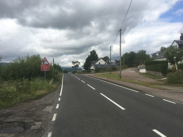
Unitary Authority: Argyll and Bute

Police Authority: Argyll and West Dunbartonshire

What 3 Words

///rehearsed.plants.exists. Near Inveraray, Argyll & Bute

Nearby Locations

Eas Dubh An Dun

Related Wikis

Strachur

Strachur (Scottish Gaelic: Srath Chura) and Strathlachlan (Scottish Gaelic: Srath Lachlainn) are united parishes located on the Cowal peninsula, in Argyll...
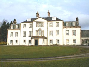
Strachur House

Strachur House is a Category B listed building in Strachur, Argyll and Bute, Scotland. It dates from around 1770, and is a three-storey building, built...

Strachur Bay

Strachur Bay is a coastal embayment, on a 114° orientation, on the eastern coast of the longest sea loch in Scotland, Loch Fyne located in Argyll and Bute...

Loch Fyne

Loch Fyne (Scottish Gaelic: Loch Fìne, pronounced [l̪ˠɔx ˈfiːnə]; meaning "Loch of the Vine/Wine"), is a sea loch off the Firth of Clyde and forms part...

Nearby Amenities

Located within 500m of 56.168,-5.068
Power: pole
Source: OS7
Lat/Long: 56.1672642/-5.0746065
Power: pole
Source: Bing
Lat/Long: 56.1647303/-5.0645695
Post Box
Post Box Type: lamp
Ref: PA27 11
Royal Cypher: scottish_crown
Lat/Long: 56.1673925/-5.067652
Telephone
Booth: K6
Covered: booth
Phone: +44 1369 86020
Lat/Long: 56.1674597/-5.0677781
Strachur
Name Gd: Srath Chura
Place: village
Wikidata: Q7620870
Wikipedia: en:Strachur
Lat/Long: 56.1669394/-5.0671402
Recycling
Lat/Long: 56.1682323/-5.0711334
Defibrillator
Defibrillator Location: outside Strachur Memorial Hall - next to entrance, facing car park
Emergency: defibrillator
Indoor: no
Lat/Long: 56.1680081/-5.0723557
Entrance: yes
Lat/Long: 56.1680135/-5.0724039
Entrance: yes
Lat/Long: 56.1680475/-5.0722018
The data included in this document is from www.openstreetmap.org. The data is made available under ODbL.

Have you been to An Dun?

Leave your review of An Dun below (or comments, questions and feedback).