Alchester

Heritage Site in Oxfordshire

England

Alchester

Flats on London Road, Bicester
Flats on London Road, Bicester Credit: David Howard

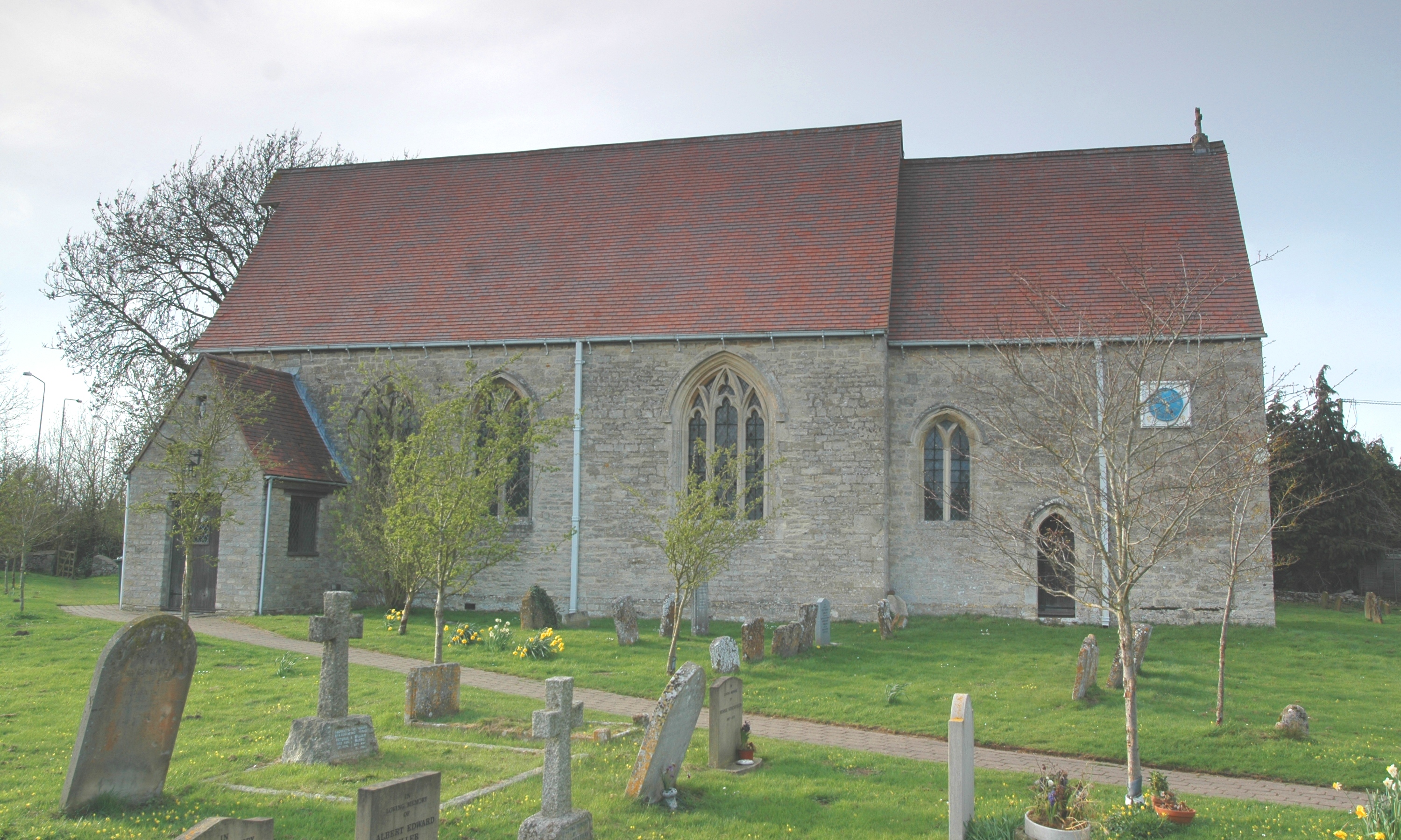
Alchester, located in Oxfordshire, England, is a renowned heritage site that holds significant historical value. Situated near the village of Chesterton, this ancient Roman town was once a bustling hub of economic and cultural activity.

Dating back to the 1st century AD, Alchester was established as a small fort during the Roman occupation of Britain. Over time, it grew into a major town and developed into an important trading center, serving as a vital link between the Roman cities of Cirencester and Dorchester. The town's strategic location, positioned alongside Akeman Street, a major Roman road, further enhanced its commercial importance.

Excavations at Alchester have uncovered various architectural remains, including the remnants of a Roman fort, a basilica, and a marketplace. The fort, known as Alchester Roman Fort, was rectangular in shape and encompassed an area of approximately 6 acres. It featured defensive walls, a central courtyard, and several barracks, indicating its military significance.

The basilica, a grand public building, served as a center for legal and administrative activities. Its impressive architectural features, such as colonnades and mosaic floors, provide valuable insights into the Roman way of life. The marketplace, or forum, was a vibrant hub where locals gathered to trade goods and socialize.

Alchester's status as a heritage site has attracted archaeologists, historians, and tourists alike, all eager to explore its rich past. Its historical significance, combined with its picturesque surroundings, makes it a must-visit destination for those interested in Roman history and architecture.

If you have any feedback on the listing, please let us know in the comments section below.
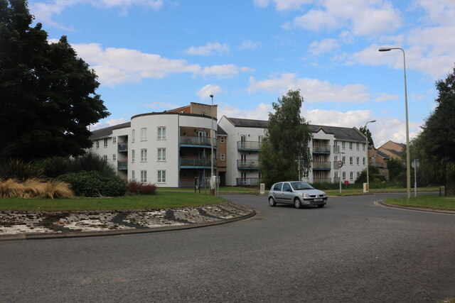
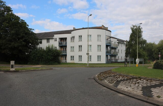
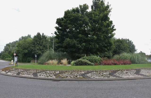
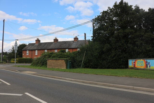
Alchester Images

Images are sourced within 2km of 51.88/-1.165 or Grid Reference SP5720. Thanks to Geograph Open Source API. All images are credited.

Flats on London Road, Bicester
Landscaped roundabout on London Road, Bicester
London Road, Bicester By the level crossing
London Road, Bicester
By the level crossing
View south west from the A41 bridge A view of the Bicester to Oxford railway line on the right and the loops and sidings on the left giving access to the Bicester Military Railway in the middle distance.  The MOD depot although these days reduced in size still retains rail access, with regular freight trains arriving and departing.
View south west from the A41 bridge
A view of the Bicester to Oxford railway line on the right and the loops and sidings on the left giving access to the Bicester Military Railway in the middle distance. The MOD depot although these days reduced in size still retains rail access, with regular freight trains arriving and departing.
View north east from A41 bridge Chiltern railways DMU No. 168322 has just departed from Bicester Village Station heading for Oxford.  The station was named Bicester Town until the line was rebuilt for Chiltern services to Oxford, and now serves the nearby Bicester Village retail outlet shopping centre.
View north east from A41 bridge
Chiltern railways DMU No. 168322 has just departed from Bicester Village Station heading for Oxford. The station was named Bicester Town until the line was rebuilt for Chiltern services to Oxford, and now serves the nearby Bicester Village retail outlet shopping centre.
Bicester Level Crossing Chiltern Railways dmu No. 168328 heads towards London after stopping at Bicester Village Station.  These services run regularly between Oxford and London Marylebone via the New Bicester Chord line, opened in 2015. This is the only level crossing on the route, as all others have been replaced with bridges.
Bicester Level Crossing
Chiltern Railways dmu No. 168328 heads towards London after stopping at Bicester Village Station. These services run regularly between Oxford and London Marylebone via the New Bicester Chord line, opened in 2015. This is the only level crossing on the route, as all others have been replaced with bridges.
Langford Lane Langford Lane level crossing has been closed and the road diverted over a bridge about 1km south.  The rebuilt railway line now runs behind the fence on the left and is used for high speed services from Oxford to London Marylebone.
Langford Lane
Langford Lane level crossing has been closed and the road diverted over a bridge about 1km south. The rebuilt railway line now runs behind the fence on the left and is used for high speed services from Oxford to London Marylebone.
St Edburg Church, Bichester
The road through Little Chesterton meets the A41
The Holiday Inn on Oxford Road, Bicester
Former Bus Depot, Bicester (1) Situated in London Road OX26 6BY, this depot formerly housed buses operated by City of Oxford Motor Services Ltd. It is now an accident repair centre.
Former Bus Depot, Bicester (1)
Situated in London Road OX26 6BY, this depot formerly housed buses operated by City of Oxford Motor Services Ltd. It is now an accident repair centre.
Former Bus Depot, Bicester (2) This former bus depot in London Road is now a crash repair centre. Stagecoach bus routes 26, 29, H5 and S5 that now operate in Bicester, have their vehicles based in Murdock Road OX26 4PP (SP5923 refers).
Former Bus Depot, Bicester (2)
This former bus depot in London Road is now a crash repair centre. Stagecoach bus routes 26, 29, H5 and S5 that now operate in Bicester, have their vehicles based in Murdock Road OX26 4PP (SP5923 refers).
Entrance to Bicester Village Station Situated in Station Approach OX26 6HU, this railway station was officially opened on Monday 
 26th October 2015 and serves the railway line between London (Marylebone) and Oxford 
 stations. However, the previous station at nearby Bicester (London Road) served the railway 
 line between Oxford and Cambridge until it was closed on Monday 1st January 1968. Further 
 information on this station is mentioned on the Wikipedia website at 
 <span class="nowrap"><a title="https://en.wikipedia.org/wiki/Bicester_Village_railway_station" rel="nofollow ugc noopener" href="https://en.wikipedia.org/wiki/Bicester_Village_railway_station">Link</a><img style="margin-left:2px;" alt="External link" title="External link - shift click to open in new window" src="https://s1.geograph.org.uk/img/external.png" width="10" height="10"/></span>. 
 From late 2024, this station will also serve the East West Line between Oxford and Bletchley 
 including a new station at Winslow (SP7628 refers).
Entrance to Bicester Village Station
Situated in Station Approach OX26 6HU, this railway station was officially opened on Monday 26th October 2015 and serves the railway line between London (Marylebone) and Oxford stations. However, the previous station at nearby Bicester (London Road) served the railway line between Oxford and Cambridge until it was closed on Monday 1st January 1968. Further information on this station is mentioned on the Wikipedia website at LinkExternal link. From late 2024, this station will also serve the East West Line between Oxford and Bletchley including a new station at Winslow (SP7628 refers).
Northeast at Bicester Village Due to track repairs (midweek!) between Leamington Spa and Banbury, a comfortable rail replacement bus had delivered us to Bicester Village, formerly Bicester Town, whence we continued to London Marylebone by a service from Oxford (without stopping to shop at the 'village').
Photo number 7615721.
Northeast at Bicester Village
Due to track repairs (midweek!) between Leamington Spa and Banbury, a comfortable rail replacement bus had delivered us to Bicester Village, formerly Bicester Town, whence we continued to London Marylebone by a service from Oxford (without stopping to shop at the 'village'). Photo number 7615721.
Southwest at Bicester Village Due to track repairs (midweek!) between Leamington Spa and Banbury, a comfortable rail replacement bus had delivered us to Bicester Village, formerly Bicester Town, whence we continued to London Marylebone by a service from Oxford (without stopping to shop at the 'village'). The view is towards Oxford. There is an entrance on the right, with ticket barriers, to the shopping village. The thing top centre: is it an insect? Could it be a drone?
Photo number 7615836.
Southwest at Bicester Village
Due to track repairs (midweek!) between Leamington Spa and Banbury, a comfortable rail replacement bus had delivered us to Bicester Village, formerly Bicester Town, whence we continued to London Marylebone by a service from Oxford (without stopping to shop at the 'village'). The view is towards Oxford. There is an entrance on the right, with ticket barriers, to the shopping village. The thing top centre: is it an insect? Could it be a drone? Photo number 7615836.
Bicester Village station Bicester Village was formerly Bicester Town, seen in this photo <a href="https://www.geograph.org.uk/photo/3260890">SP5821 : Bicester Town station, 1992</a> from 1992. There is access to the shopping 'village'. The panels at the back of the platform screen a car park.
Photo number 7615867.
Bicester Village station
Bicester Village was formerly Bicester Town, seen in this photo SP5821 : Bicester Town station, 1992 from 1992. There is access to the shopping 'village'. The panels at the back of the platform screen a car park. Photo number 7615867.
Notice, Bicester Village station A printed notice in three languages has been applied directly to the surface of the platform asking people to let passengers off the arriving train before boarding. It must be aimed at visitors returning to London from the shopping village.
Photo number 7615946.
Notice, Bicester Village station
A printed notice in three languages has been applied directly to the surface of the platform asking people to let passengers off the arriving train before boarding. It must be aimed at visitors returning to London from the shopping village. Photo number 7615946.
Show me another place!

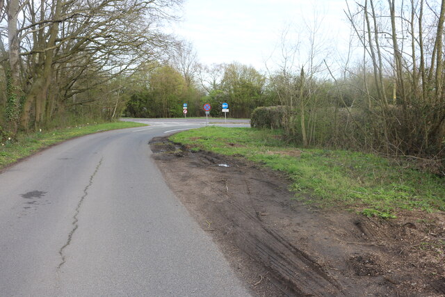
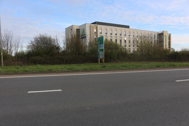
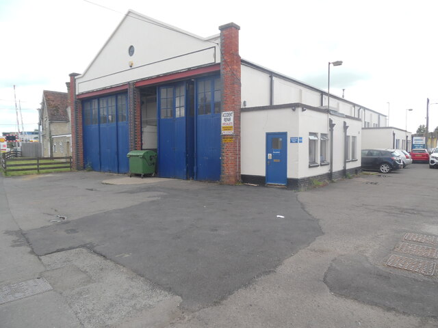
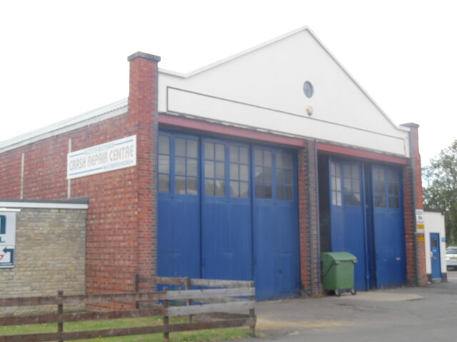
Alchester is located at Grid Ref: SP5720 (Lat: 51.88, Lng: -1.165)

What 3 Words

///harsh.scary.drive. Near Bicester, Oxfordshire

Nearby Locations

Alchester

Related Wikis

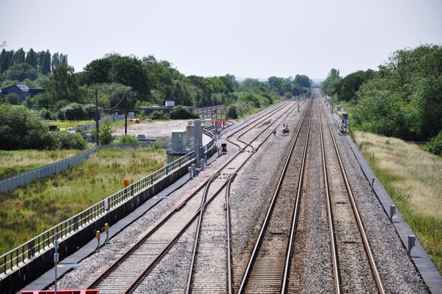
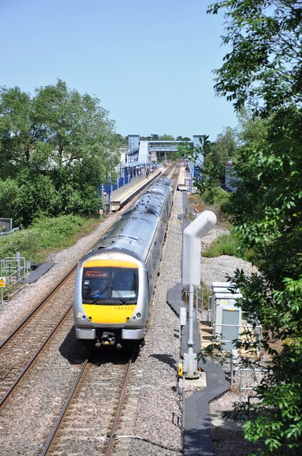
Wendlebury Halt railway station

Wendlebury Halt was a railway station on the Varsity Line, located 0.5 miles (800 m) east of the village of Wendlebury in Alchester. The London and North...

Alchester (Roman town)

Alchester is the site of an ancient Roman town. The site is not included in any ancient references; hence, the Roman name is not known. However, Eilert...

Bicester Avenue

Bicester Avenue Home and Garden Centre is a shopping centre in Bicester, Oxfordshire, England, that opened in May 2007. Some of the stores at Bicester...
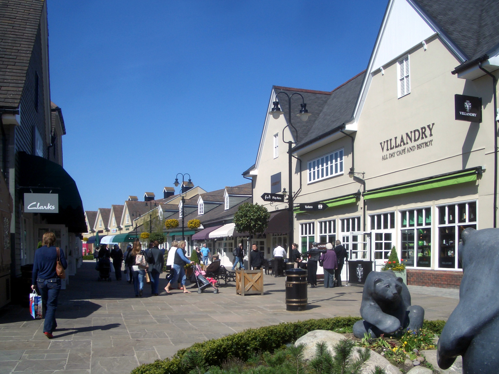
Bicester Village

Bicester Village is a designer outlet shopping centre on the outskirts of Bicester, a town in Oxfordshire, England. It is owned by Value Retail plc. The...

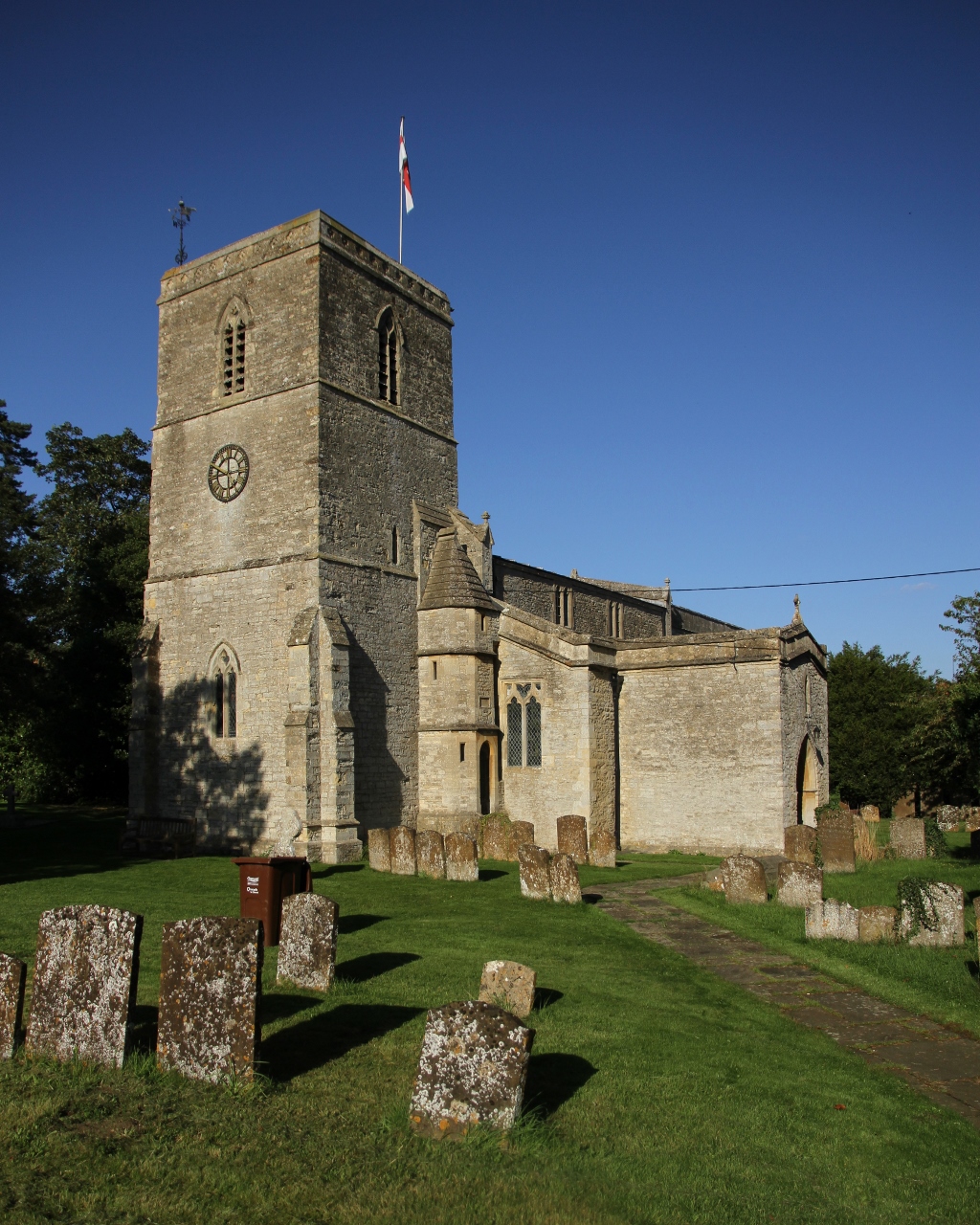
Chesterton, Oxfordshire

Chesterton is a village and civil parish on Gagle Brook, a tributary of the Langford Brook in north Oxfordshire. The village is about 1+1⁄2 miles (2.4...

Wendlebury

Wendlebury is a village and civil parish about 2 miles (3 km) southwest of Bicester and about 1⁄2 mile (800 m) from Junction 9 of the M40. Junction 9 is...

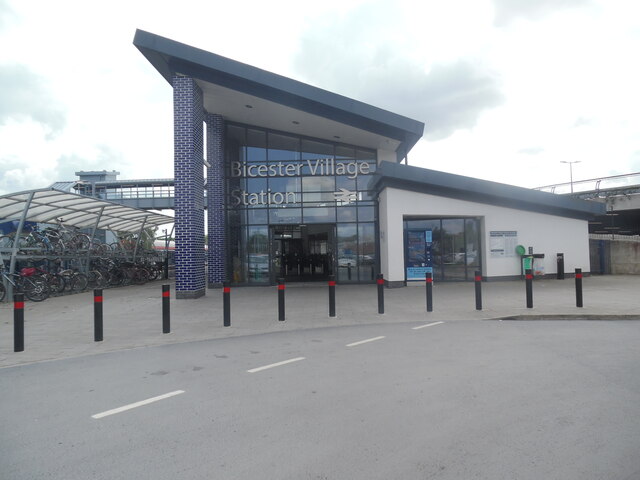
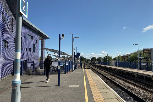
Bicester Village railway station

Bicester Village (2015–present, previously Bicester Town 1987–2014, Bicester London Road 1954–1968, Bicester 1850–1954) is one of two railway stations...
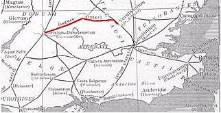
Akeman Street

Akeman Street is a Roman road in southern England between the modern counties of Hertfordshire and Gloucestershire. It is approximately 117 kilometres...

Related Videos

[4K] Walking Tour of Bicester Village near Oxford and London

Bicester Village is an hour from London and 30 minutes from Oxford. A place where you can meet more than 160 luxury designer ...

Nearby Amenities

Located within 500m of 51.88,-1.165
Langford Lane
Historic Railway: level_crossing
Lat/Long: 51.8785993/-1.1651814
Railway: switch
Lat/Long: 51.882484/-1.1600217
Railway: level_crossing
Lat/Long: 51.8792932/-1.1595335
Railway: level_crossing
Lat/Long: 51.8799273/-1.1583191
Langford Lane
Historic Railway: level_crossing
Lat/Long: 51.8785917/-1.165144
Power: pole
Source: Bing
Lat/Long: 51.8775975/-1.1668457
Power: pole
Source: Bing
Lat/Long: 51.8764533/-1.1687421
Power: pole
Source: Bing
Lat/Long: 51.8830377/-1.1641136
Power: pole
Source: Bing
Lat/Long: 51.8840184/-1.1637042
Power: pole
Source: Bing
Lat/Long: 51.8840693/-1.1638856
Power: pole
Source: Bing
Lat/Long: 51.8803887/-1.1648164
Power: pole
Source: Bing
Lat/Long: 51.8821039/-1.1645616
Power: pole
Source: Bing
Lat/Long: 51.8794531/-1.1620655
Power: pole
Source: Bing
Lat/Long: 51.8764793/-1.1683488
Power: pole
Source: Bing
Lat/Long: 51.8810989/-1.164701
Power: pole
Source: Bing
Lat/Long: 51.8801204/-1.1636818
Power: pole
Source: Bing
Lat/Long: 51.8825007/-1.1656192
Power: pole
Source: Bing
Lat/Long: 51.8794399/-1.1652294
Power: pole
Source: Bing
Lat/Long: 51.8810493/-1.1654708
Power: pole
Source: Bing
Lat/Long: 51.8831289/-1.1643443
Power: pole
Source: Bing
Lat/Long: 51.878627/-1.1658276
Power: pole
Source: Bing
Lat/Long: 51.8785193/-1.1655942
Power: pole
Source: Bing
Lat/Long: 51.8838375/-1.1648003
Power: pole
Source: Bing
Lat/Long: 51.8776335/-1.1672277
Power: pole
Source: Bing
Lat/Long: 51.8799161/-1.1650208
Railway: switch
Lat/Long: 51.8827099/-1.159825
Railway: switch
Lat/Long: 51.8829035/-1.15964
Railway: switch
Lat/Long: 51.878424/-1.1584466
Power: pole
Lat/Long: 51.8821568/-1.1647704
Power: pole
Lat/Long: 51.8799557/-1.1652937
Power: pole
Lat/Long: 51.8809164/-1.1654012
Power: pole
Lat/Long: 51.8781382/-1.1611227
Power: pole
Lat/Long: 51.8779743/-1.1597849
Railway: switch
Lat/Long: 51.8821486/-1.1609693
Railway: level_crossing
Lat/Long: 51.8792729/-1.1595687
Bicester Depot West Junction
Railway: switch
Ref Tiploc: BCSTDWJ
Lat/Long: 51.8815166/-1.1617808
Railway: switch
Lat/Long: 51.8827863/-1.1602362
Bicester Depot West Junction
Railway: junction
Ref Tiploc: BCSTDWJ
Lat/Long: 51.8815298/-1.1616858
The data included in this document is from www.openstreetmap.org. The data is made available under ODbL.

Have you been to Alchester ?

Leave your review of Alchester below (or comments, questions and feedback).