Adisham Court
Heritage Site in Kent
England
Adisham Court
Adisham Court, located in the county of Kent, is a renowned heritage site that holds great historical and architectural significance. Situated in the small village of Adisham, this magnificent Grade II listed building is a prime example of a country house estate.
Originally constructed in the 19th century, Adisham Court was designed by the eminent architect Edward Buckton Lamb. The house showcases an exquisite blend of Tudor and Jacobean architectural styles, with its striking redbrick façade and intricate detailing. The surrounding landscape is adorned with beautifully manicured gardens, featuring picturesque lawns, vibrant flower beds, and ancient trees.
The interior of Adisham Court boasts a wealth of grandeur and elegance. Visitors are greeted by a breathtaking entrance hall adorned with intricate woodwork and a stunning fireplace. The house also features a library, drawing room, and dining room, all adorned with period furniture and decorative elements. Additionally, the estate possesses an impressive collection of artwork, including paintings and sculptures.
Adisham Court has played a significant role in history, having been occupied by notable figures throughout the years. During World War II, the house was used as a military hospital, providing care for wounded soldiers. Today, the estate is privately owned and is occasionally open to the public for guided tours, allowing visitors to immerse themselves in the rich history and architectural beauty that Adisham Court offers.
In conclusion, Adisham Court in Kent is an enchanting heritage site, showcasing a remarkable blend of architectural styles and a rich historical legacy. Its picturesque gardens, opulent interiors, and fascinating history make it a must-visit destination for history enthusiasts and architecture lovers alike.
If you have any feedback on the listing, please let us know in the comments section below.
Adisham Court Images
Images are sourced within 2km of 51.245/1.188 or Grid Reference TR2254. Thanks to Geograph Open Source API. All images are credited.


Adisham Court is located at Grid Ref: TR2254 (Lat: 51.245, Lng: 1.188)
What 3 Words
///bottle.octagon.wasp. Near Aylesham, Kent
Nearby Locations
Related Wikis

Adisham
Adisham (formerly Adesham) is a village and civil parish in the English county of Kent. It is twinned with Campagne-lès-Hesdin in France. == Geography... ==
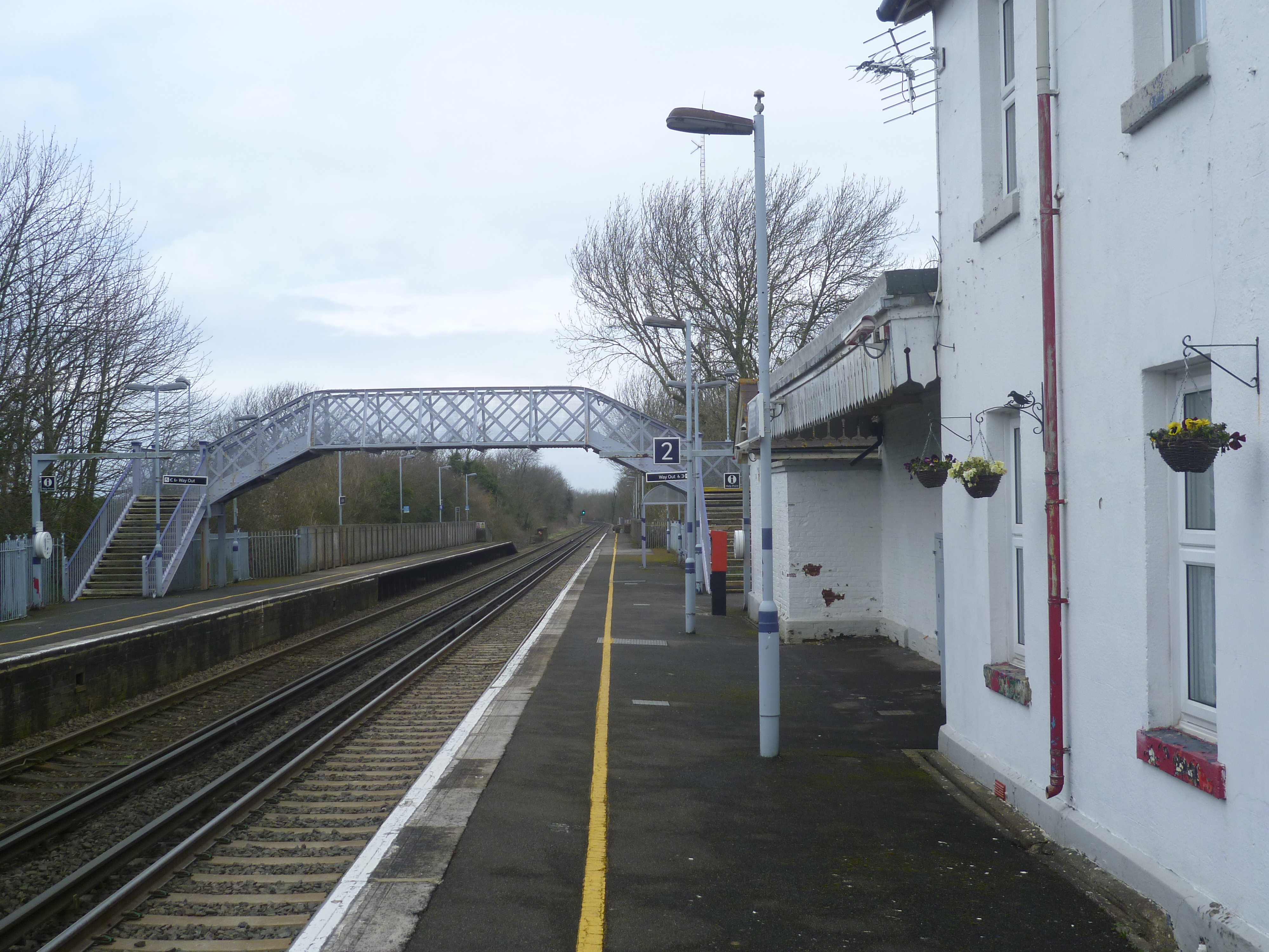
Adisham railway station
Adisham railway station is on the Dover branch of the Chatham Main Line in England, and serves the village of Adisham, Kent. It is 67 miles 60 chains...
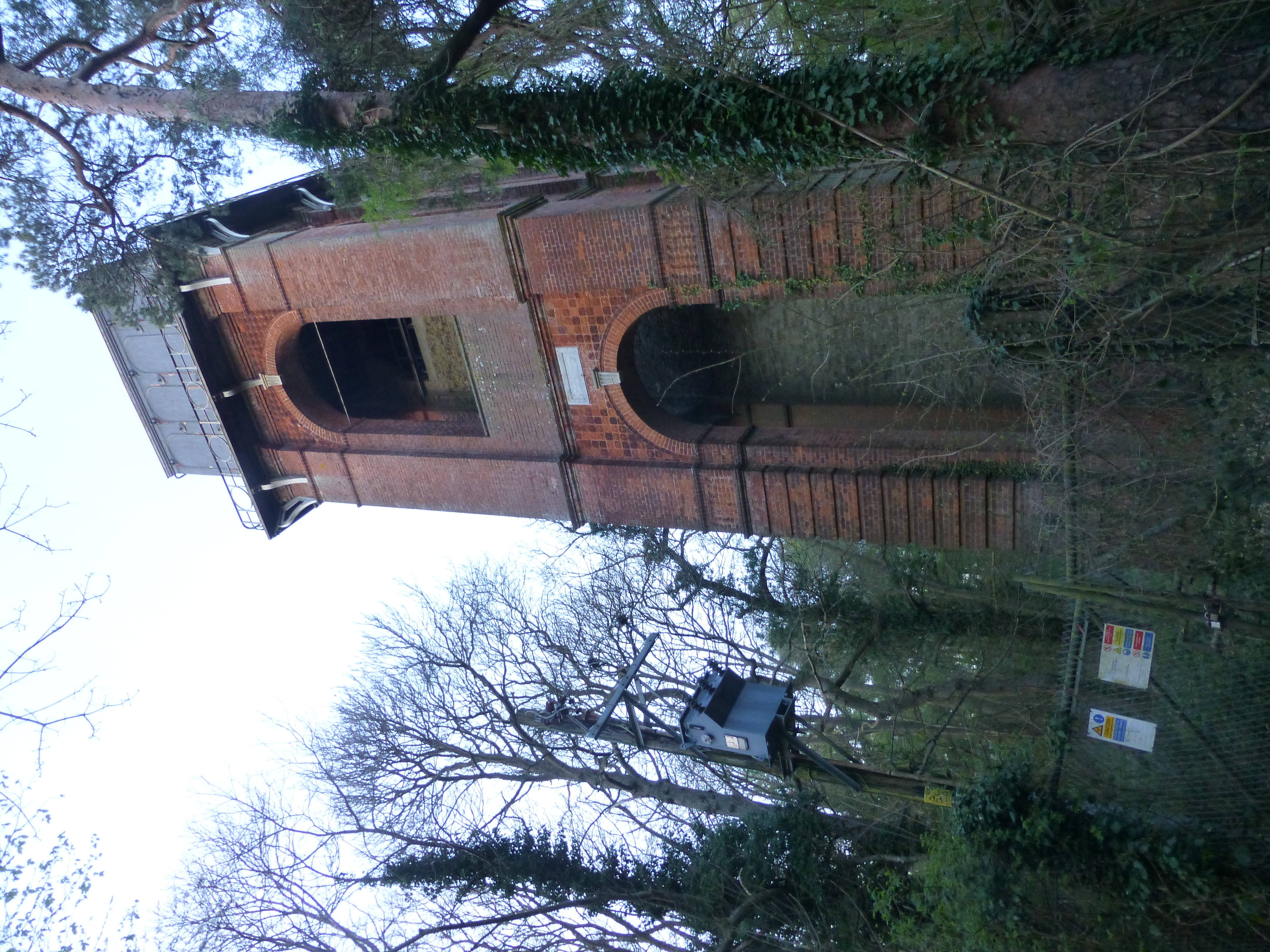
Adisham Water Tower
Adisham Water Tower is a Grade II listed building located in the parish of Adisham, Kent. The structure was built in 1903 in an Edwardian Italianate Revival...

Ileden and Oxenden Woods
Ileden and Oxenden Woods is an 86.4-hectare (213-acre) biological Site of Special Scientific Interest (SSSI) south-east of Canterbury in Kent. It is in...

Bramling
Bramling is a hamlet five miles (8 km) east of Canterbury in Kent, England. It lies on the A257 road between Littlebourne and Wingham. The local public...

Aylesham
Aylesham is a village and civil parish in the Dover district of Kent, England. The village is 6.5 miles (10.5 km) southeast of the cathedral city of Canterbury...
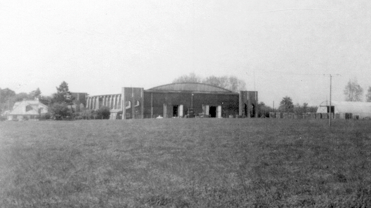
Bekesbourne Aerodrome
Bekesbourne Aerodrome was an airport located at the southeast edge of the village of Bekesbourne, southeast of Canterbury, Kent. It operated from 1916...
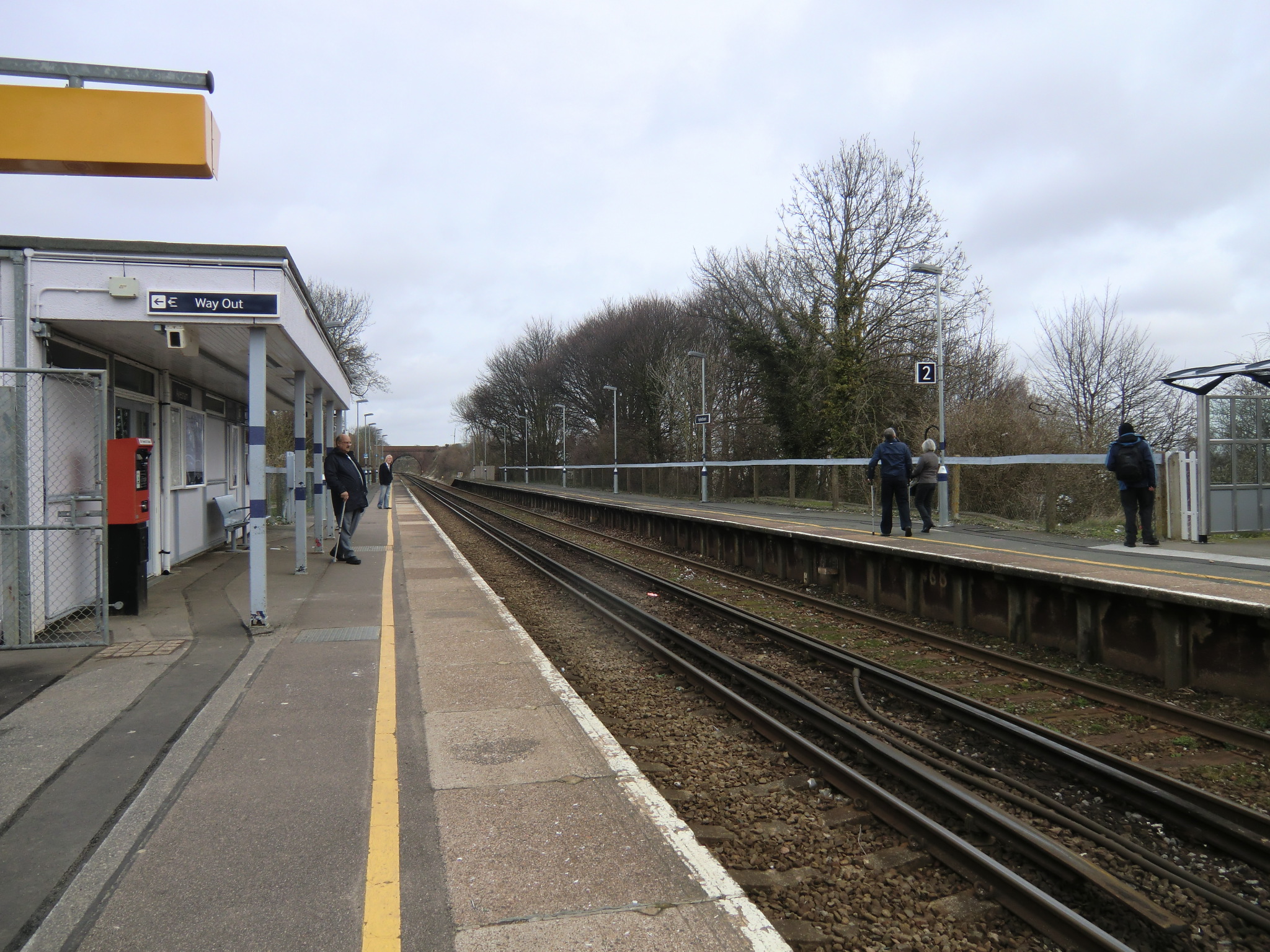
Aylesham railway station
Aylesham railway station is on the Dover branch of the Chatham Main Line in England, and serves the village of Aylesham, Kent. It is 68 miles 66 chains...
Related Videos

29 July 2023
snowdown,Aylesham, Kent colliery, now closed.

Gap Year Part 20: Adisham & Dover - 11/21/23 - 12/9/23
England: Adisham Canterbury Dover Hello, For much needed relaxation we headed east from London to Adisham population 657 ...


We been chased at Snowdown Colliery
went with @MonsLittleExplores.
Nearby Amenities
Located within 500m of 51.245,1.188Have you been to Adisham Court?
Leave your review of Adisham Court below (or comments, questions and feedback).