Achbuiligan Tulloch
Heritage Site in Caithness
Scotland
Achbuiligan Tulloch

Achbuiligan Tulloch, located in Caithness, Scotland, is a significant heritage site that offers a glimpse into the region's rich historical and cultural past. This ancient site is shrouded in mystery and dates back to the Neolithic period, making it of great archaeological importance.
The main feature of Achbuiligan Tulloch is a well-preserved chambered cairn. These burial mounds, built around 3,500 BC, were used by the early inhabitants to inter their dead. The cairn consists of a central chamber made of large stones, covered by a mound of smaller stones. This structure provides valuable insights into the funeral practices and beliefs of the people who lived here thousands of years ago.
The site's strategic location, with panoramic views of the surrounding landscape, suggests that it held significant cultural or ceremonial importance. It is believed that Achbuiligan Tulloch was not only a burial site but also a place for communal gatherings and rituals.
Today, visitors can explore this ancient site and marvel at the impressive stonework that has withstood the test of time. The cairn stands as a testament to the ingenuity and craftsmanship of our ancestors. Interpretative panels and informational signage help visitors understand the historical context and significance of the site.
A visit to Achbuiligan Tulloch offers a unique opportunity to connect with the past and appreciate the rich heritage of Caithness. It is a place where history comes alive, allowing visitors to immerse themselves in the mysteries of the Neolithic era and gain a deeper understanding of our ancient origins.
If you have any feedback on the listing, please let us know in the comments section below.
Achbuiligan Tulloch Images
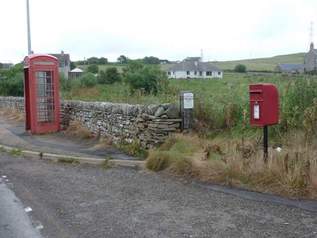
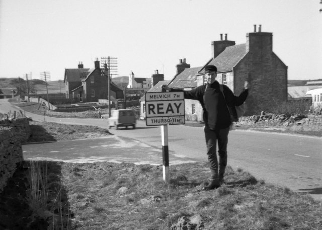
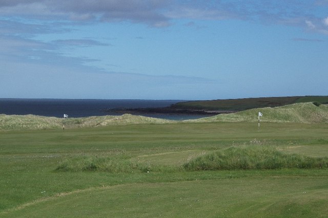
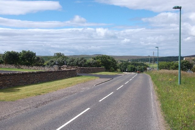
Images are sourced within 2km of 58.567/-3.745 or Grid Reference NC9865. Thanks to Geograph Open Source API. All images are credited.


Achbuiligan Tulloch is located at Grid Ref: NC9865 (Lat: 58.567, Lng: -3.745)
Unitary Authority: Highlands
Police Authority: Highland and Islands
What 3 Words
///domain.occupiers.scramble. Near Reay, Highland
Nearby Locations
Related Wikis

Achvarasdal
Achvarasdal (from the Norse placename meaning "Barr's valley", with the later, post 13th century addition of the Gaelic Ach-/Achadh- meaning "field") is...
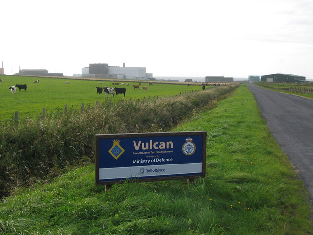
Vulcan Naval Reactor Test Establishment
Vulcan Naval Reactor Test Establishment (NRTE), formerly HMS Vulcan, is a UK Ministry of Defence (MoD) establishment in Scotland, operated by Rolls-Royce...

Dounreay Castle
Dounreay Castle is a ruined 16th-century L-plan castle, about 8 miles (13 km) west of Thurso, Highland (council area), Scotland, within the grounds of...

Dounreay
Dounreay (; Scottish Gaelic: Dùnrath) is a small settlement and the site of two large nuclear establishments on the north coast of Caithness in the Highland...

Buldoo
Buldoo (Scottish Gaelic:) in the far north of Scotland, is a small hamlet 0.5 miles south of Dounreay in Thurso, Caithness, Scottish Highlands and is...

Reay Parish Church
Reay Parish Church is a Church of Scotland parish church serving Reay, Caithness. It is one of the most northerly communities on the Scottish mainland...

Reay
Reay (Scottish Gaelic: Ràth) is a village which has grown around Sandside Bay on the north coast of the Highland council area of Scotland. It is within...
RAF Dounreay
RAF Dounreay was built for RAF Coastal Command in 1944, but not used by them. It was transferred to the Royal Navy as HMS Tern II, but not commissioned...
Nearby Amenities
Located within 500m of 58.567,-3.745Have you been to Achbuiligan Tulloch?
Leave your review of Achbuiligan Tulloch below (or comments, questions and feedback).