Wroxall

Settlement in Warwickshire Warwick

England

Wroxall

Wroxall Abbey Estate Farmland near the Lodge.
Wroxall Abbey Estate Credit: Ian Rob

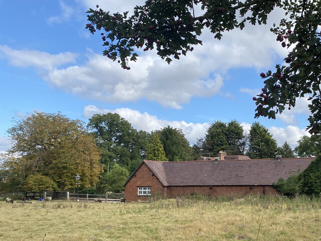
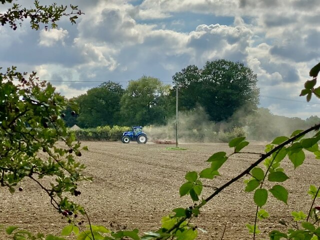
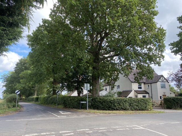
Wroxall is a small village located in the county of Warwickshire, England. Situated in the heart of the West Midlands, Wroxall is surrounded by picturesque countryside and offers a tranquil and scenic setting for its residents and visitors.

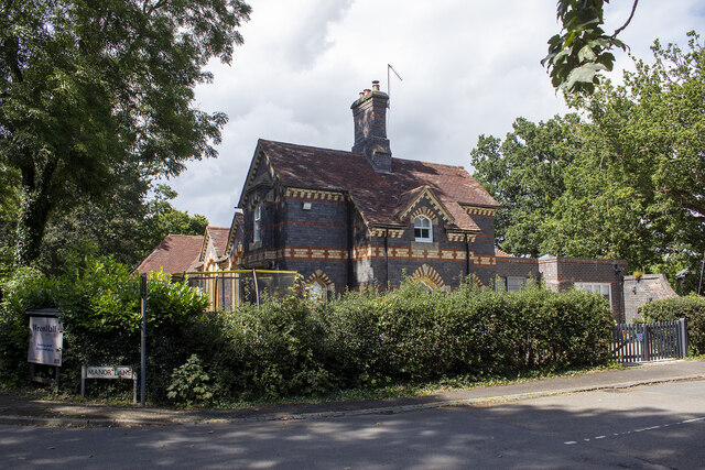
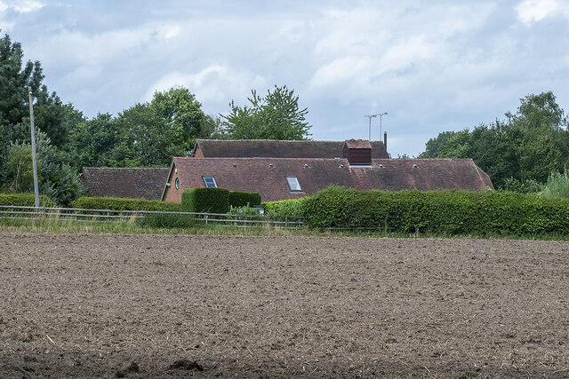
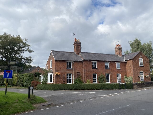
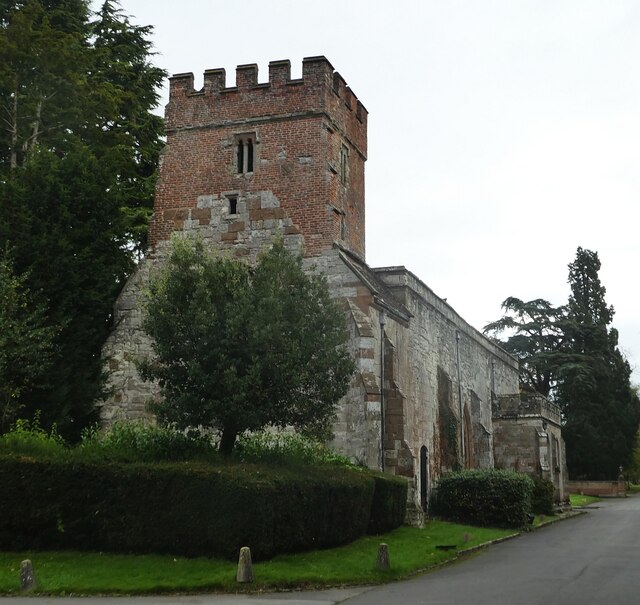
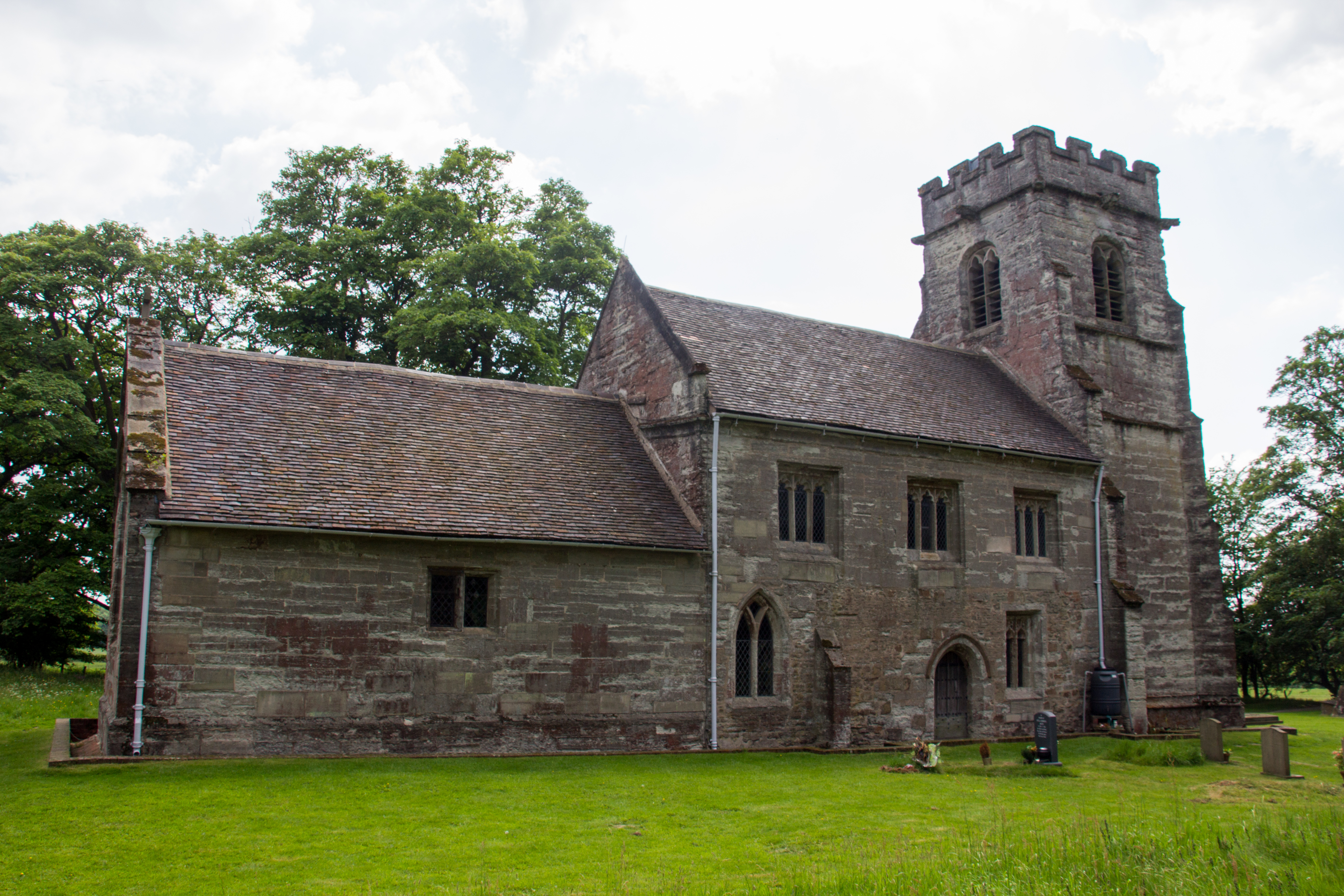
The village is known for its rich history, with evidence of human habitation dating back to the Roman era. Wroxall has preserved its heritage through its charming architecture, with many buildings showcasing traditional Tudor and Elizabethan styles. The village church, St. Leonard's, is a prominent landmark, boasting a stunning medieval tower and a beautiful interior.

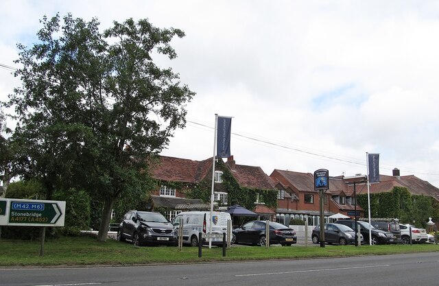
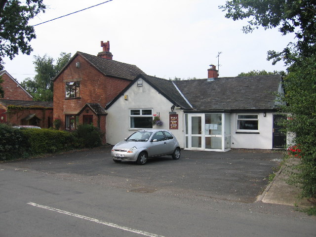
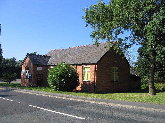
Despite its small size, Wroxall offers a range of amenities to its community. It has a local primary school, providing education for children in the area. The village is also home to a post office, a village hall, and a pub, which serves as a popular meeting place for locals and visitors alike.

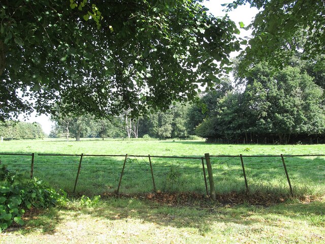
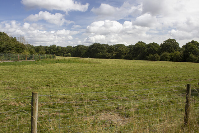
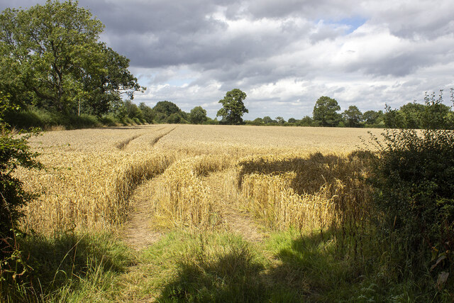
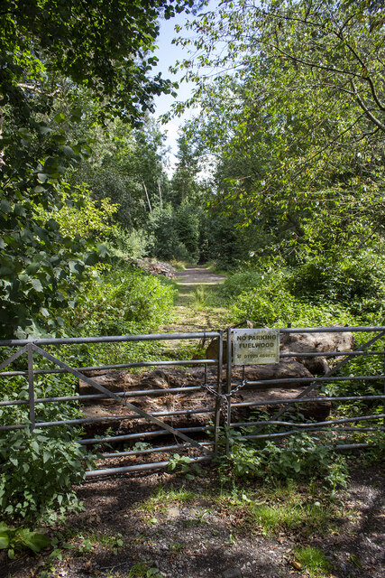
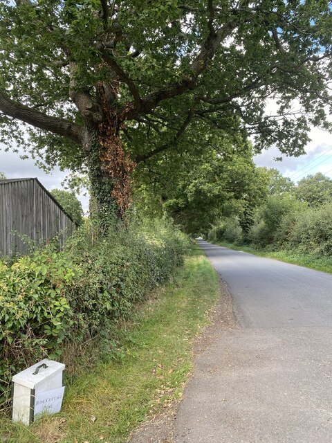
Nature enthusiasts will find plenty to explore in Wroxall, as the village is surrounded by rolling hills and woodland areas. There are several walking and cycling trails that offer breathtaking views of the Warwickshire countryside.

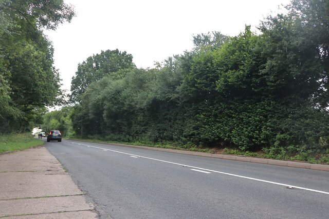
Wroxall is conveniently located near the larger towns of Kenilworth and Warwick, providing easy access to a wider range of shopping, dining, and entertainment options. The village is well-connected by road, with the A46 and M40 motorway within close proximity, making it an ideal location for commuters.

Overall, Wroxall is a charming and historic village that offers a peaceful and idyllic lifestyle for its residents, while also providing easy access to the amenities of larger towns in the region.

If you have any feedback on the listing, please let us know in the comments section below.
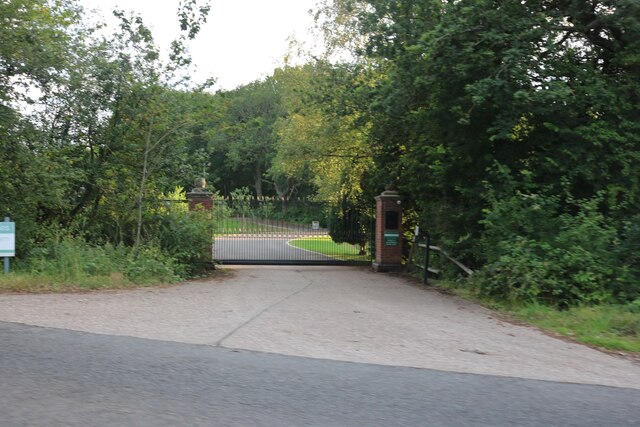
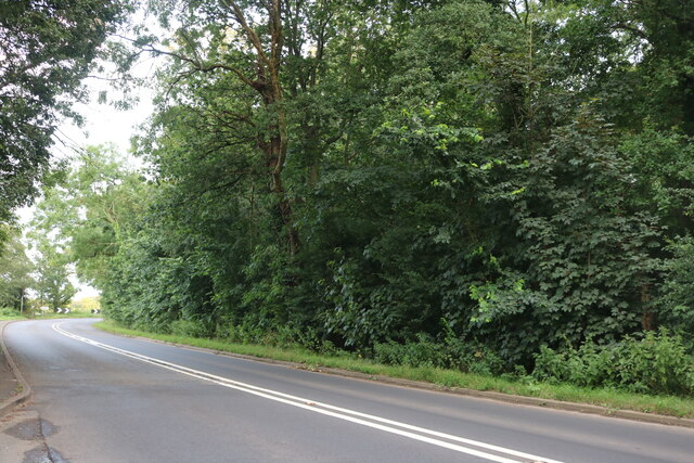
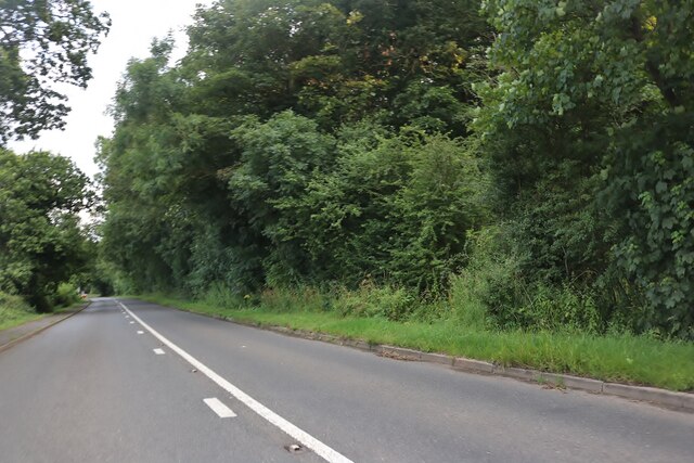
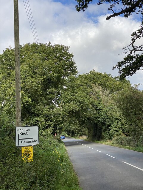
Wroxall Images

Images are sourced within 2km of 52.339214/-1.6704792 or Grid Reference SP2271. Thanks to Geograph Open Source API. All images are credited.

Wroxall Abbey Estate Farmland near the Lodge.
Wroxall Abbey Estate
Farmland near the Lodge.
Honiley Boot-The Phantom Coachman Public House.
Honiley Boot-The Phantom Coachman
Public House.
Woodland off School Lane Field and woodland off School Lane. Perimeter fence to Jaguar Land Rover facility
Woodland off School Lane
Field and woodland off School Lane. Perimeter fence to Jaguar Land Rover facility
Wroxall School House
Field off Manor Lane
Haseleygreen Farm
Haseleygreen Farm
Clattyland Wood Track entering Clattyland Wood
Clattyland Wood
Track entering Clattyland Wood
Birmingham Road, Baddesley Clinton
The entrance to Pheasant Lakes Farm, Wroxall
Birmingham Road, Wroxall
Birmingham Road approaching Five Ways
Signpost near road junction Turn right for Beausale, straight ahead for Haseley Knob.
Signpost near road junction
Turn right for Beausale, straight ahead for Haseley Knob.
Cheney’s Farm
Cheney’s Farm
Haseley Knob House at road junction to Beausale.
Haseley Knob
House at road junction to Beausale.
Farming near Beausale
Rose Cottage post Alongside the road from Beausale.
Rose Cottage post
Alongside the road from Beausale.
House at crossroad near Beausale I wonder how ‘Dirty Lane’ got its name.
House at crossroad near Beausale
I wonder how ‘Dirty Lane’ got its name.
Wroxall Abbey - Church of St Leonard Dating originally from c.1315 with the west tower (seen prominently here) added in c.1663. It takes its dedication from the former St Leonard's priory, the ruins of which lie to its south. The church is to the east of the C19th Wroxall Abbey which was never actually an abbey. See shared description below for more information and links.
Wroxall Abbey - Church of St Leonard
Dating originally from c.1315 with the west tower (seen prominently here) added in c.1663. It takes its dedication from the former St Leonard's priory, the ruins of which lie to its south. The church is to the east of the C19th Wroxall Abbey which was never actually an abbey. See shared description below for more information and links.
Show me another place!

Wroxall is located at Grid Ref: SP2271 (Lat: 52.339214, Lng: -1.6704792)

Administrative County: Warwickshire

District: Warwick

Police Authority: Warwickshire

What 3 Words

///tearfully.splinters.grills. Near Wroxall, Warwickshire

Nearby Locations

Wroxhall Wroxall

Related Wikis

Nearby Amenities

Located within 500m of 52.339214,-1.6704792
Bus Stop
Old School
Bus: yes
Naptan AtcoCode: 4200F082200
Naptan Bearing: SE
Naptan CommonName: Old School
Naptan Indicator: Adj
Naptan NaptanCode: waradwma
Naptan Street: Birmingham Road
Naptan Verified: no
Public Transport: platform
Source: naptan_import
Lat/Long: 52.3388694/-1.6706637
Old School
Naptan AtcoCode: 4200F082201
Naptan Bearing: NW
Naptan BusStopType: CUS
Naptan CommonName: Old School
Naptan Indicator: Opp
Naptan NaptanCode: wardjajw
Naptan Street: Birmingham Road
Naptan Verified: no
Source: naptan_import
Lat/Long: 52.3389371/-1.6711336
Booth: K6
Covered: booth
Disused Amenity: telephone
Heritage: 2
Heritage Operator: Historic England
Listed Status: Grade II
Man Made: telephone_box
Note: telephone has been removed
Old Phone: +44 1926 484245
Source: survey
Lat/Long: 52.3391001/-1.670718
Post Box
Collection Times: Mo-Fr 15:15; Sa 08:30
Operator: Royal Mail
Operator Wikidata: Q638098
Post Box Type: lamp
Ref: CV35 134
Royal Cypher: EIIR
Royal Cypher Wikidata: Q33102113
Source: survey
Lat/Long: 52.3391157/-1.6707072
Wroxall
Place: village
Wikidata: Q9378174
Wikipedia: en:Wroxall, Warwickshire
Lat/Long: 52.3395624/-1.6712434
Barrier: stile
Lat/Long: 52.3389073/-1.6720863
Operator: National Grid Electricity Distribution
Operator Wikidata: Q7988183
Power: pole
Source: bing
Lat/Long: 52.3360348/-1.6671257
Operator: National Grid Electricity Distribution
Operator Wikidata: Q7988183
Power: pole
Ref: 931659
Source: wpd_opendata
Transformer: distribution
Lat/Long: 52.3359742/-1.6682495
Operator: National Grid Electricity Distribution
Operator Wikidata: Q7988183
Power: pole
Source: bing
Lat/Long: 52.3360963/-1.6659442
Operator: National Grid Electricity Distribution
Operator Wikidata: Q7988183
Power: pole
Source: bing
Lat/Long: 52.3422491/-1.6750959
Operator: National Grid Electricity Distribution
Operator Wikidata: Q7988183
Power: pole
Source: bing
Lat/Long: 52.3421999/-1.6737977
Operator: National Grid Electricity Distribution
Operator Wikidata: Q7988183
Power: pole
Source: bing
Lat/Long: 52.3420656/-1.672411
Operator: National Grid Electricity Distribution
Operator Wikidata: Q7988183
Power: pole
Source: bing
Lat/Long: 52.3419509/-1.6710967
Operator: National Grid Electricity Distribution
Operator Wikidata: Q7988183
Power: pole
Source: bing
Lat/Long: 52.3418148/-1.6697998
Operator: National Grid Electricity Distribution
Operator Wikidata: Q7988183
Power: pole
Source: bing
Lat/Long: 52.3412208/-1.6691883
Frequency: 50
Operator: National Grid Electricity Distribution
Operator Wikidata: Q7988183
Power: pole
Ref: 931660
Source: wpd_opendata
Transformer: distribution
Voltage Primary: 11000
Voltage Secondary: 400
Lat/Long: 52.3406899/-1.6685727
Operator: National Grid Electricity Distribution
Operator Wikidata: Q7988183
Power: pole
Source: bing
Lat/Long: 52.3403015/-1.6672504
Operator: National Grid Electricity Distribution
Operator Wikidata: Q7988183
Power: pole
Source: bing
Lat/Long: 52.3398049/-1.6659763
Operator: National Grid Electricity Distribution
Operator Wikidata: Q7988183
Power: pole
Source: bing
Lat/Long: 52.3389544/-1.6654775
Operator: National Grid Electricity Distribution
Operator Wikidata: Q7988183
Power: pole
Source: bing
Lat/Long: 52.3380809/-1.6652361
Operator: National Grid Electricity Distribution
Operator Wikidata: Q7988183
Power: pole
Source: bing
Lat/Long: 52.3374221/-1.6650134
Operator: National Grid Electricity Distribution
Operator Wikidata: Q7988183
Power: pole
Source: bing
Lat/Long: 52.3367879/-1.664815
The data included in this document is from www.openstreetmap.org. The data is made available under ODbL.

Have you been to Wroxall?

Leave your review of Wroxall below (or comments, questions and feedback).