Woodside View
Settlement in Suffolk West Suffolk
England
Woodside View

Woodside View is a picturesque village located in the county of Suffolk in England. Nestled amidst rolling green hills and surrounded by lush forests, it offers a serene and charming retreat for residents and visitors alike. The village is situated approximately 10 miles southeast of the county town, Ipswich.
Woodside View is renowned for its idyllic countryside setting, with an abundance of natural beauty and a peaceful atmosphere. The village is characterized by its traditional English architecture, with quaint cottages and charming old buildings lining the streets. The village church, dating back to the 12th century, stands as a testament to the rich history of the area.
A key feature of Woodside View is its strong sense of community, with a close-knit population that takes pride in their village. The locals organize various events and activities throughout the year, including fairs, festivals, and community gatherings, fostering a warm and welcoming atmosphere.
Nature enthusiasts will find plenty to explore in and around Woodside View. The village is surrounded by stunning countryside, offering numerous walking and cycling trails that showcase the area's natural beauty. The nearby Woodside Forest is a popular spot for outdoor activities, providing opportunities for hiking, picnicking, and wildlife spotting.
Despite its rural setting, Woodside View benefits from good transport links. The village is well-connected by road, with easy access to major towns and cities in the region. Additionally, the nearby Ipswich train station offers regular services to London and other major cities.
In summary, Woodside View is a charming village in Suffolk that combines natural beauty, a strong community spirit, and convenient transport links, making it an ideal place for those seeking a peaceful and picturesque lifestyle.
If you have any feedback on the listing, please let us know in the comments section below.
Woodside View Images
Images are sourced within 2km of 52.330181/0.78899797 or Grid Reference TL9073. Thanks to Geograph Open Source API. All images are credited.


Woodside View is located at Grid Ref: TL9073 (Lat: 52.330181, Lng: 0.78899797)
Administrative County: Suffolk
District: West Suffolk
Police Authority: Suffolk
What 3 Words
///focus.returns.flamingo. Near Ixworth, Suffolk
Nearby Locations
Related Wikis
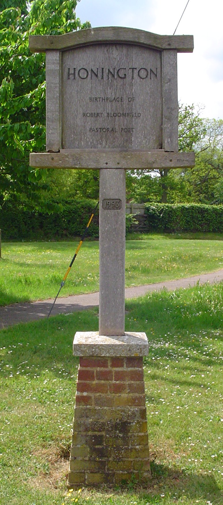
Honington, Suffolk
Honington is a village and civil parish located in Bardwell Ward and Pakenham and Troston Wards of West Suffolk District Council, Suffolk in eastern England...

RAF Honington
Royal Air Force Honington or more simply RAF Honington (IATA: BEQ, ICAO: EGXH) is a Royal Air Force station located 6 mi (9.7 km) south of Thetford near...

Ixworth Thorpe
Ixworth Thorpe is a small village and civil parish in the West Suffolk district of the English county of Suffolk. The village is located on the A1088 road...

Troston
Troston is a village and civil parish in Suffolk, England, five miles north-east of Bury St Edmunds. Its parish church contains rare mediaeval wall paintings...

Sapiston
Sapiston is a small village and civil parish in the West Suffolk district of Suffolk in eastern England, located near the Suffolk-Norfolk border. It is...

St Andrew's Church, Sapiston
St Andrew's Church is a redundant Anglican church in the village of Sapiston, Suffolk, England. It is recorded in the National Heritage List for England...
Edward Capell
Edward Capell (11 June 1713 – 24 February 1781) was an English Shakespearian critic. == Biography == He was born at Troston Hall (TL901717) in Suffolk...

Fakenham Magna
Fakenham Magna (or Great Fakenham) is a village and civil parish in the West Suffolk district of Suffolk in eastern England. The meaning of the word 'Fakenham...
Nearby Amenities
Located within 500m of 52.330181,0.78899797Have you been to Woodside View?
Leave your review of Woodside View below (or comments, questions and feedback).