Wolverton Mill South
Settlement in Buckinghamshire
England
Wolverton Mill South

Wolverton Mill South is a small residential area located in Buckinghamshire, England. Situated in the town of Wolverton, it is part of the wider Milton Keynes urban area. The neighborhood is primarily known for its historical significance as a former industrial site.
Originally established in the early 19th century, Wolverton Mill South was part of a thriving railway engineering complex. The area played a crucial role in the development of the railway industry, particularly in the manufacturing and maintenance of locomotives. In fact, Wolverton Mill South was once home to the largest railway works in the world.
Today, the industrial landscape has given way to a predominantly residential community. The area offers a mix of housing options, including both traditional and modern properties. Wolverton Mill South is known for its quiet streets and family-friendly atmosphere.
Residents of Wolverton Mill South enjoy convenient access to various amenities and services. The nearby Wolverton railway station provides excellent transport links, allowing for easy commuting to surrounding areas. The neighborhood is also within close proximity to several schools, parks, and retail establishments.
Despite its transformation into a residential area, Wolverton Mill South has managed to preserve some of its historical charm. The iconic Victorian buildings and remnants of the railway heritage can still be seen, serving as a reminder of the area's rich past.
If you have any feedback on the listing, please let us know in the comments section below.
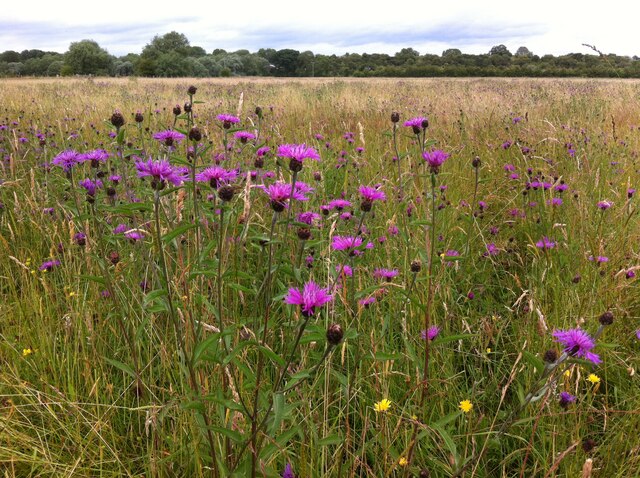
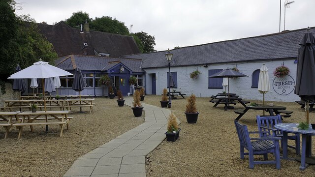
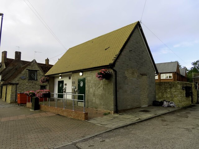
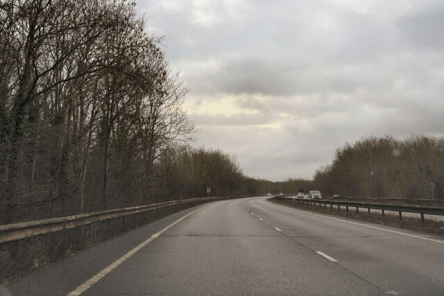
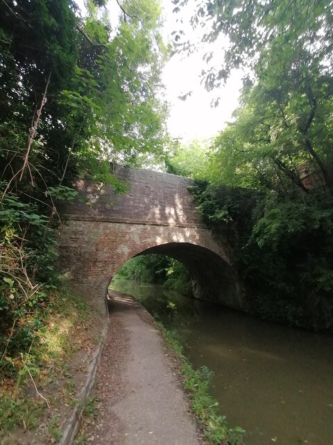
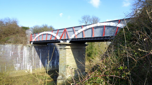
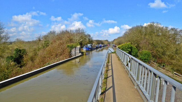
Wolverton Mill South Images
Images are sourced within 2km of 52.054206/-0.83120976 or Grid Reference SP8040. Thanks to Geograph Open Source API. All images are credited.


Wolverton Mill South is located at Grid Ref: SP8040 (Lat: 52.054206, Lng: -0.83120976)
Unitary Authority: Milton Keynes
Police Authority: Thames Valley
What 3 Words
///thrashed.helm.winters. Near Stony Stratford, Buckinghamshire
Nearby Locations
Related Wikis

The Radcliffe School
The Radcliffe School is a comprehensive school located in Wolverton, Milton Keynes, England. The school offers General Certificates of Secondary Education...
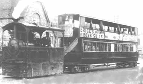
Wolverton and Stony Stratford Tramway
The Wolverton and Stony Stratford Tramway was a narrow gauge street tramway connecting Wolverton railway station and the Wolverton Works of the London...

Holy Trinity Church, Wolverton
The Church of the Holy Trinity is a Grade II* listed church, incorporating Saxon and medieval elements, located in the town of Wolverton, Buckinghamshire...
Fairfields
Fairfields is a neighbourhood and civil parish that covers a large new development area on the western flank of Milton Keynes, Buckinghamshire, England...
Related Videos

Sunny Days are made for Walking
I am walking 1000 miles throughout 2018 for MIND the mental health charity. Today I added 3.75miles from Old Stratford, ...

Walking the wonderful Teddy Bear
Teddy Bear.

Discover the Quirky & Beautiful Horse Tunnel Bridge on a Grand Union Canal #UKCanals #Tunnel #Horse
The Lost Locks of The Grand Union | Iron Trunk Aqueduct Full Video - https://youtu.be/GZ3lMkCHOK8 Join this channel to get ...
Nearby Amenities
Located within 500m of 52.054206,-0.83120976Have you been to Wolverton Mill South?
Leave your review of Wolverton Mill South below (or comments, questions and feedback).