Whitefield
Settlement in Aberdeenshire
Scotland
Whitefield
Whitefield is a small village located in Aberdeenshire, Scotland. Situated approximately 10 miles west of Aberdeen, it is nestled in the picturesque countryside, offering residents and visitors a tranquil setting with stunning natural beauty.
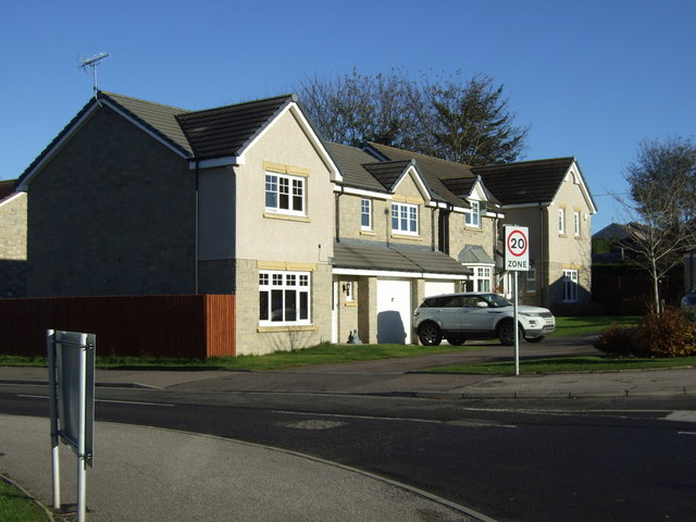
The village is known for its charming, traditional Scottish architecture, with many stone-built houses and cottages dotting the landscape. The community maintains a strong sense of pride in preserving its historical heritage, evident in the well-maintained buildings and the overall character of the village.
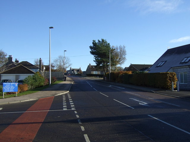
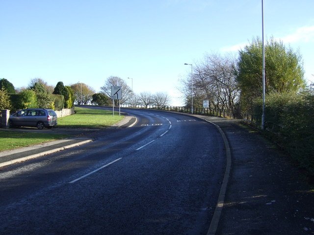
Whitefield benefits from its proximity to the bustling city of Aberdeen, which provides residents with access to a wide range of amenities and services. Additionally, the village is well-connected by road, making it easily accessible for commuters and those looking to explore the surrounding areas.
The local economy is primarily based on agriculture, with many farms surrounding the village. The fertile lands and favorable climate contribute to the success of farming in the area. This agricultural heritage is celebrated annually with various events and festivals that showcase the local produce and rural traditions.
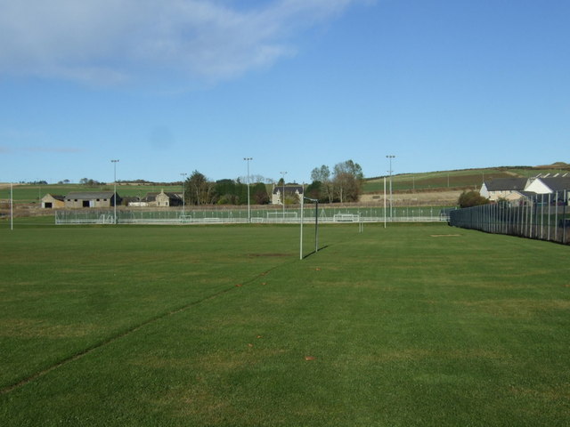
For outdoor enthusiasts, Whitefield offers ample opportunities for exploration and recreation. The surrounding countryside provides an idyllic backdrop for hiking, cycling, and horse riding. The nearby River Dee also attracts anglers, offering excellent fishing opportunities.
In conclusion, Whitefield is a charming village in Aberdeenshire, Scotland, that combines a rich historical heritage with stunning natural surroundings. With its close proximity to Aberdeen and its agricultural roots, the village offers a peaceful and picturesque place to live or visit.
If you have any feedback on the listing, please let us know in the comments section below.
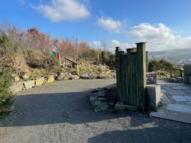
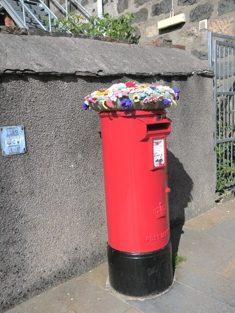
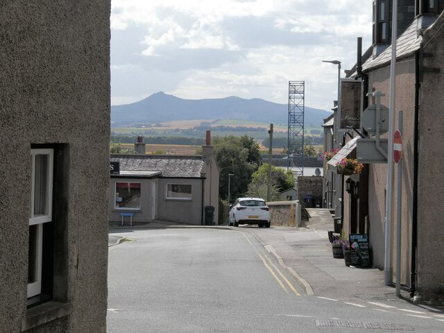
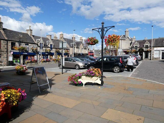
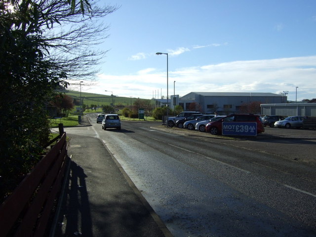
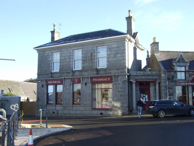
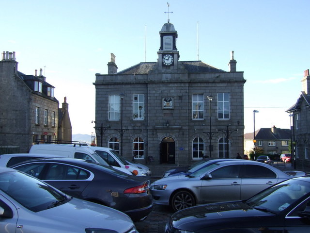
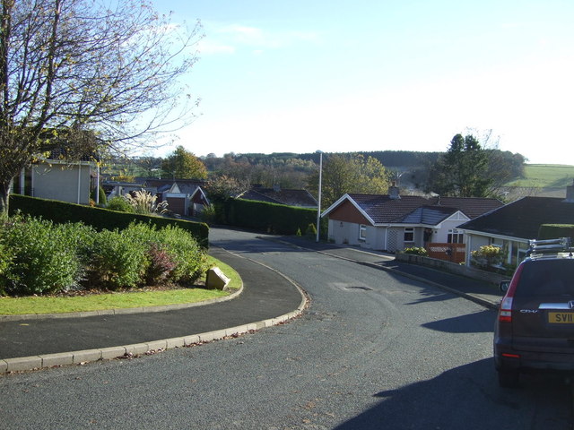
Whitefield Images
Images are sourced within 2km of 57.338015/-2.3457615 or Grid Reference NJ7927. Thanks to Geograph Open Source API. All images are credited.

Whitefield is located at Grid Ref: NJ7927 (Lat: 57.338015, Lng: -2.3457615)
Unitary Authority: Aberdeenshire
Police Authority: North East
What 3 Words
///cello.fluctuate.operation. Near Oldmeldrum, Aberdeenshire
Nearby Locations
Related Wikis

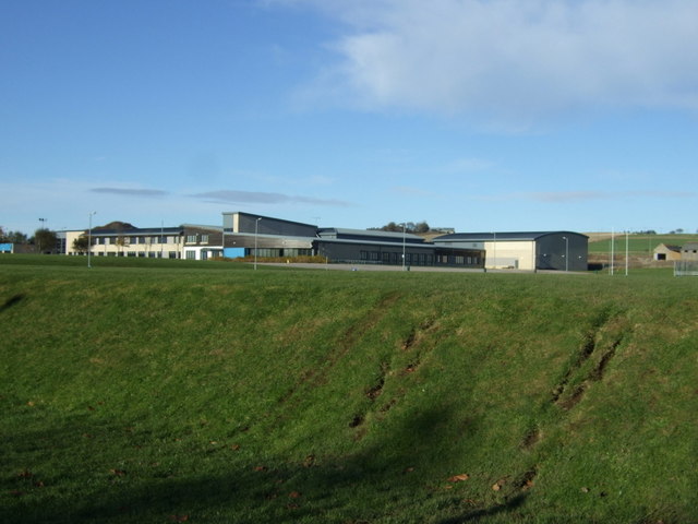
Meldrum Academy
Meldrum Academy is a secondary school run by Aberdeenshire Council in Oldmeldrum, Aberdeenshire, Scotland. It was established in 2002 with S1 and S2 pupils...

Old Meldrum railway station
Old Meldrum railway station was a railway station in Old Meldrum, Aberdeenshire. It was the terminus of the Inverury and Old Meldrum Junction Railway....

Inverury and Old Meldrum Junction Railway
The Inverury and Old Meldrum Junction Railway was a railway company in Aberdeenshire, Scotland, that opened a short branch line between the places in its...
Fingask railway station
Fingask railway station, Fingask Platform railway station or Fingask Halt railway station was situated in the Fingask area of Aberdeenshire, Scotland,...

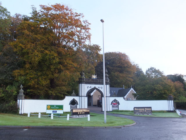
Oldmeldrum
Oldmeldrum (commonly known as Meldrum) is a village and parish in the Formartine area of Aberdeenshire, not far from Inverurie in North East Scotland....

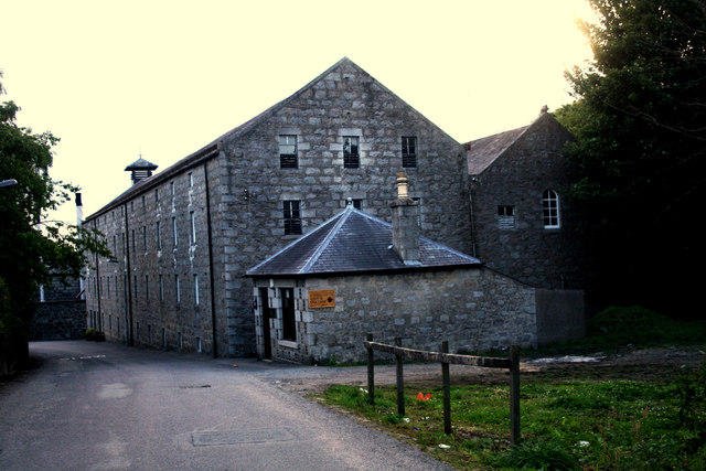
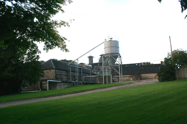
Glen Garioch distillery
Glen Garioch distillery (pronounced "Geery" in the Doric dialect of Aberdeen) is one of the oldest whisky distilleries in Scotland, dating back to 1797...
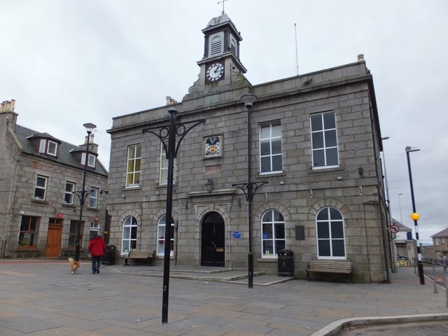
Oldmeldrum Town Hall
Oldmeldrum Town Hall is a municipal structure in the Market Square, Oldmeldrum, Aberdeenshire, Scotland. The structure, which is used as a community events...
Battle of Inverurie (1308)
The Battle of Inverurie, also known as the Battle of Barra, was fought in the north-east of Scotland and was a victory for the Scottish king Robert Bruce...
Nearby Amenities
Located within 500m of 57.338015,-2.3457615Have you been to Whitefield?
Leave your review of Whitefield below (or comments, questions and feedback).