White Stitch
Settlement in Warwickshire North Warwickshire
England
White Stitch
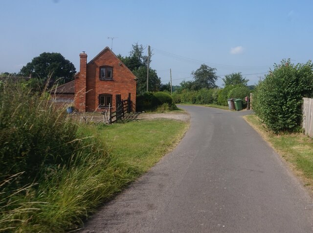
White Stitch is a small village located in the county of Warwickshire, England. Situated approximately 5 miles south of the market town of Stratford-upon-Avon, it is nestled amidst the picturesque countryside of the region.
The village is known for its idyllic setting, with rolling green hills, charming cottages, and a peaceful atmosphere. It has a population of around 300 residents, creating a tight-knit community that values its rural heritage.
The history of White Stitch dates back centuries, with evidence of human habitation in the area since Roman times. The name "White Stitch" is believed to have originated from the Old English words "hwit," meaning white, and "sticca," meaning a hill or a ridge. This suggests that the village may have been named after a prominent white landmark or feature in the area.
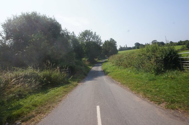
Although primarily an agricultural community, White Stitch has also embraced tourism in recent years. Visitors are drawn to the village for its scenic beauty, offering opportunities for hiking, cycling, and exploring the surrounding countryside. The nearby Stratford-upon-Avon, birthplace of William Shakespeare, also attracts many tourists, who often make a stop in White Stitch to experience the tranquility of a traditional English village.
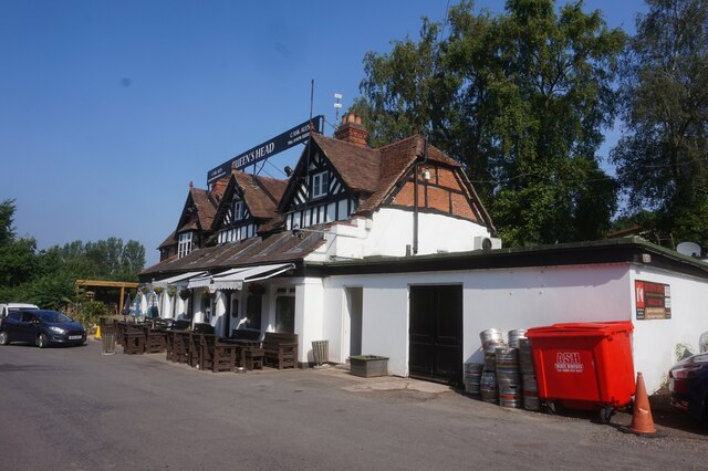
Despite its small size, White Stitch is home to a few amenities, including a village hall and a local pub. The village also benefits from its proximity to larger towns and cities, ensuring residents have access to a wider range of services and facilities.
In summary, White Stitch is a charming village in Warwickshire, England, known for its picturesque countryside, close-knit community, and its role in preserving the rural heritage of the region.
If you have any feedback on the listing, please let us know in the comments section below.
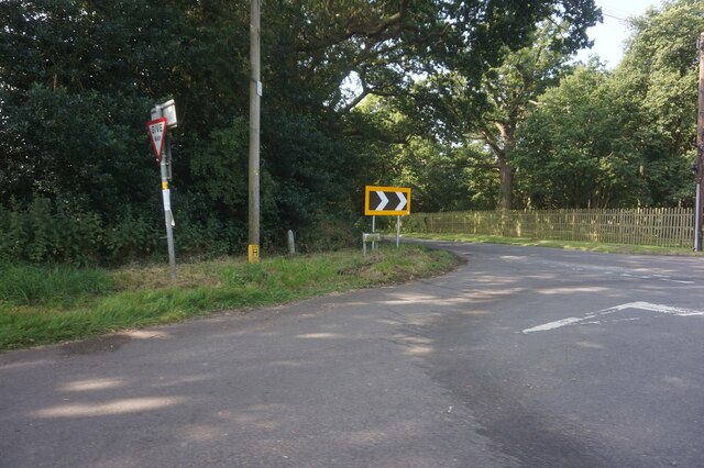
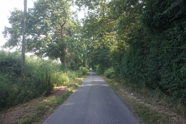
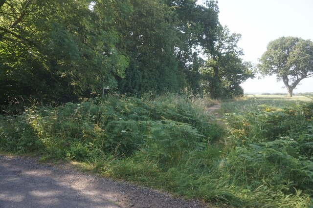
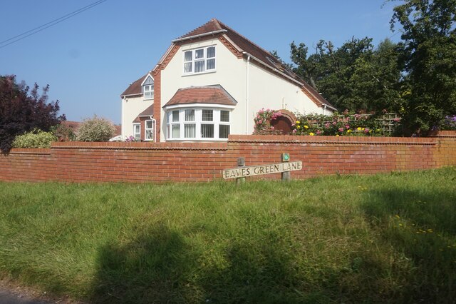
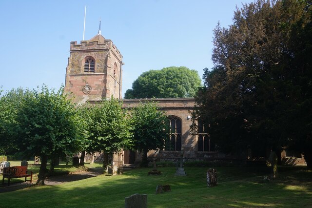
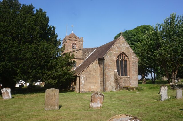
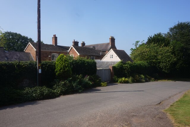
White Stitch Images
Images are sourced within 2km of 52.446269/-1.6459643 or Grid Reference SP2483. Thanks to Geograph Open Source API. All images are credited.


White Stitch is located at Grid Ref: SP2483 (Lat: 52.446269, Lng: -1.6459643)
Administrative County: Warwickshire
District: North Warwickshire
Police Authority: Warwickshire
What 3 Words
///storm.ideal.zeal. Near Meriden, West Midlands
Nearby Locations
Related Wikis

Meriden Rural District
The Meriden Rural District was a rural district of Warwickshire, England, which existed between 1894 and 1974. It was named after the village of Meriden...

Meriden, West Midlands
Meriden is a village and civil parish in the Metropolitan Borough of Solihull, West Midlands, England. Historically, it is part of Warwickshire and lies...
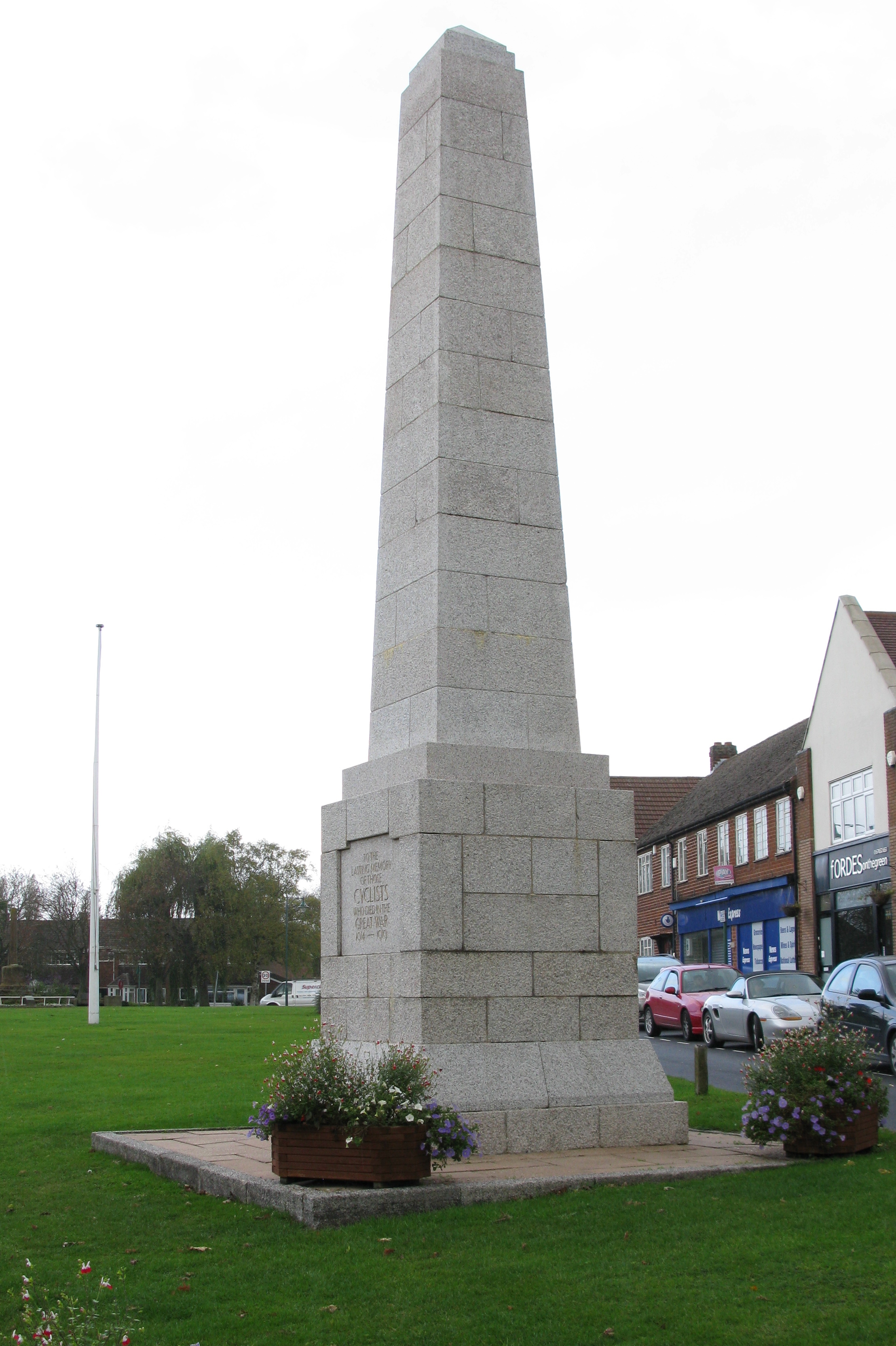
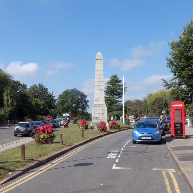
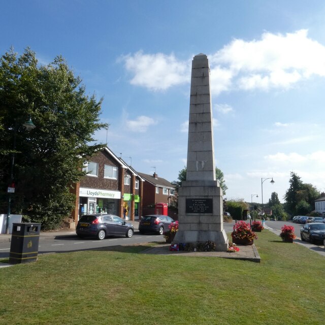
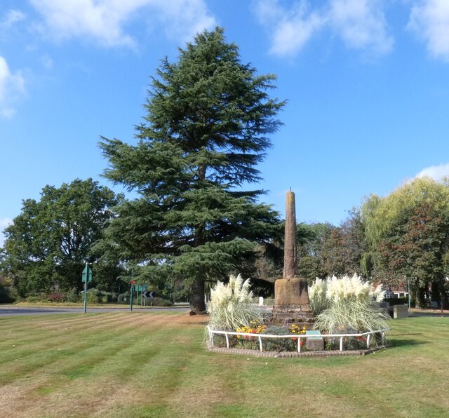
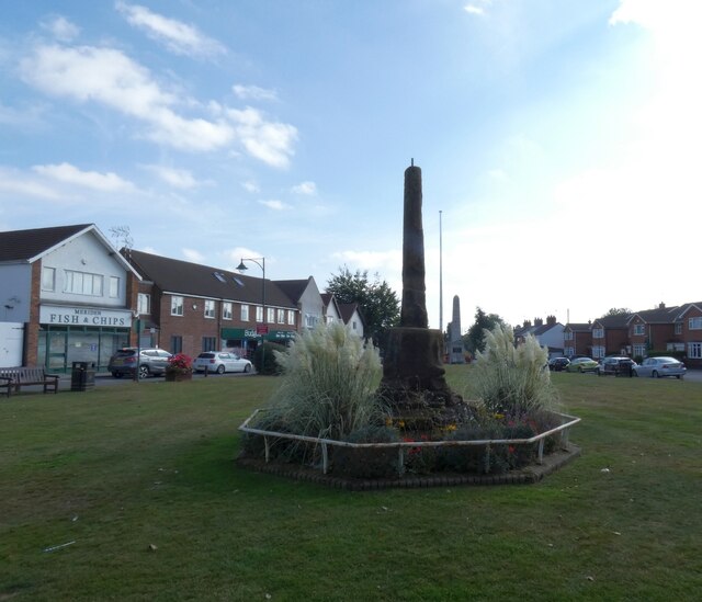
Cyclists War Memorial
The Cyclists War Memorial is a war memorial on the village green in Meriden, West Midlands. The village between Coventry and Birmingham was long reputed...
Walsh Hall, Meriden
Walsh Hall is a six-bedroom, Grade II* listed house on Walsh Lane, Meriden, West Midlands (originally Warwickshire), England.It comprises a 16 foot (4...
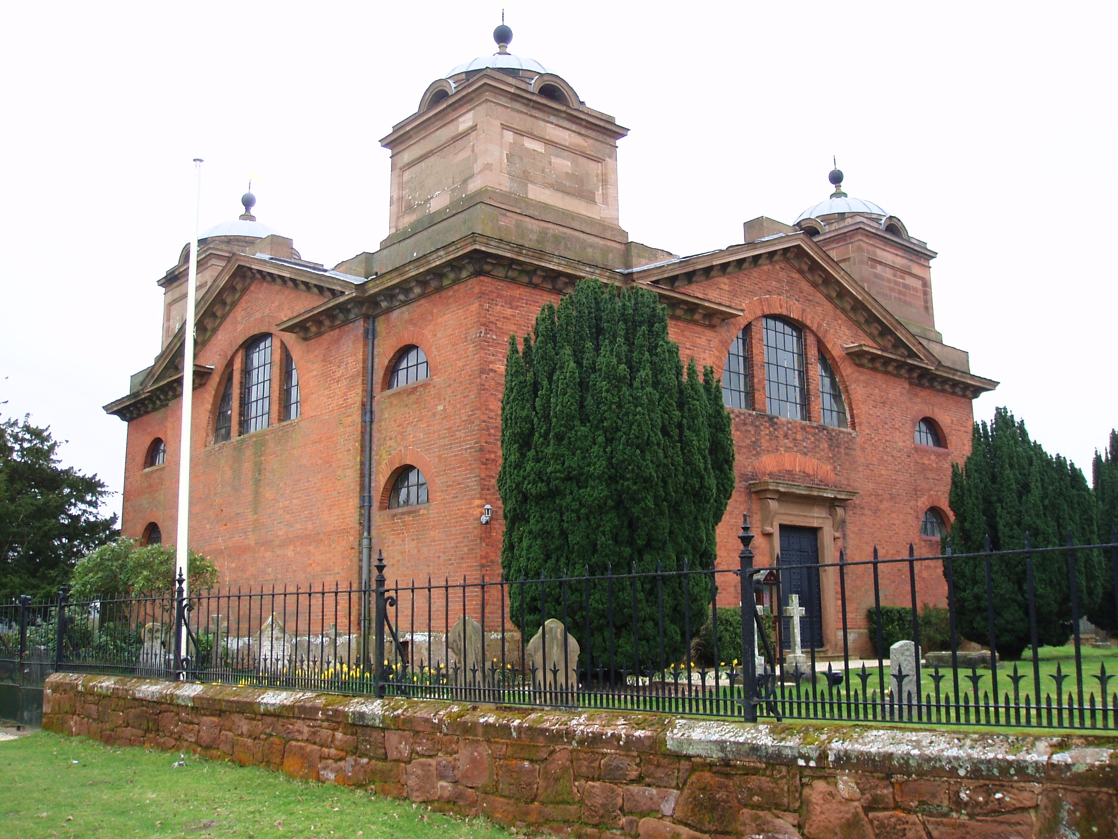
St James' Church, Great Packington
St James' Church is an 18th-century chapel situated in the grounds of Packington Hall, near Meriden, Warwickshire. It is a Grade I listed building. The...
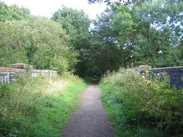
Coventry Way
The Coventry Way is a 40-mile (64 km) long-distance footpath in central England that starts and finishes in Meriden. It forms a circular route around the...
Forest of Arden Hotel and Country Club
The Forest of Arden Hotel & Country Club is a hotel and country club complex in England. Operated by Marriott Hotels & Resorts, it is located 4 miles...
English Open
The English Open was a professional golf tournament held in England. First played in 1988, it was an annual event on the European Tour until 2002. After...
Related Videos

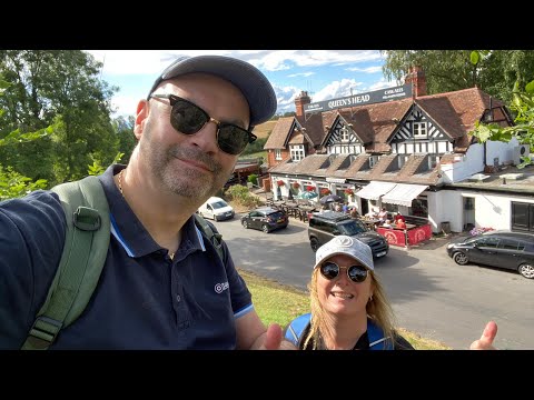
My First 9 MILE Hike | YouTubers Group Walk | Millennium Way | Meriden... The Centre Of The UK!
What a fantastic day hiking the Millennium Way with a great bunch of YouTubers! #youtubersgroupwalk #themilenniumwayhike ...

Meriden the Historical Centre of England, Group Hike YouTuber Meet Up
A cracking circular 9 miler in and around the historical centre of England, and heart of the English countryside, Meriden, Coventry.
The Millennium Way - Kenilworth to Meriden
Our next stage of the Millennium Way walk. Leaving beautiful Kenilworth with its amazing castle. This leg saw us traverse fields ...

Somers Wood Caravan Park
A short video showing Somers Wood Caravan Park near the village of Meriden in the Midlands. We visited the site over May Bank ...
Nearby Amenities
Located within 500m of 52.446269,-1.6459643Have you been to White Stitch?
Leave your review of White Stitch below (or comments, questions and feedback).