Whaplode St Catherine

Settlement in Lincolnshire South Holland

England

Whaplode St Catherine

Mill Gate near St Catherine's Bridge
Mill Gate near St Catherine's Bridge Credit: Jonathan Thacker

Whaplode St Catherine is a small village located in the South Holland district of Lincolnshire, England. Situated approximately 6 miles southwest of the town of Spalding, it lies within the East Midlands region. The village is surrounded by picturesque countryside and is known for its charming rural atmosphere.

The origins of Whaplode St Catherine can be traced back to the medieval period, and its name is believed to have derived from the Old English words "hwæppel" meaning "whale" and "lode" meaning "watercourse." The village is home to a number of historic buildings, including the Grade I listed St Catherine's Church, which dates back to the 13th century and features beautiful stained glass windows and intricate stonework.

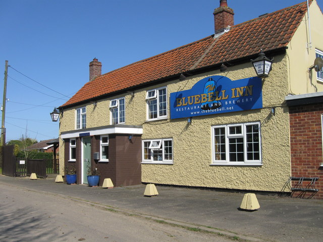
Despite its small size, Whaplode St Catherine offers a range of amenities to its residents. These include a primary school, a village hall, a post office, and a local convenience store. The village also has a strong sense of community, with various events and activities taking place throughout the year.

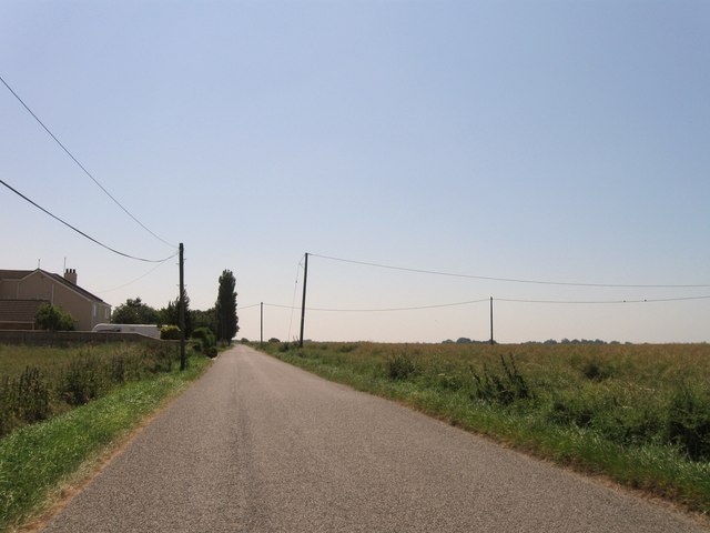
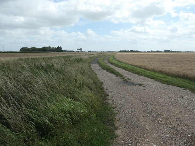
The surrounding area is predominantly agricultural, with many residents working in farming and related industries. The village benefits from its proximity to the A151 road, which provides easy access to nearby towns and cities. Additionally, the nearby market town of Spalding offers a wider range of amenities and services.

Whaplode St Catherine is a tranquil and idyllic village, providing a peaceful retreat for those seeking a slower pace of life amidst the beauty of the Lincolnshire countryside.

If you have any feedback on the listing, please let us know in the comments section below.

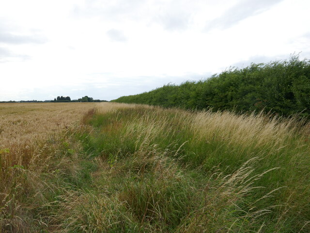
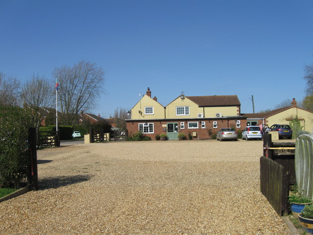
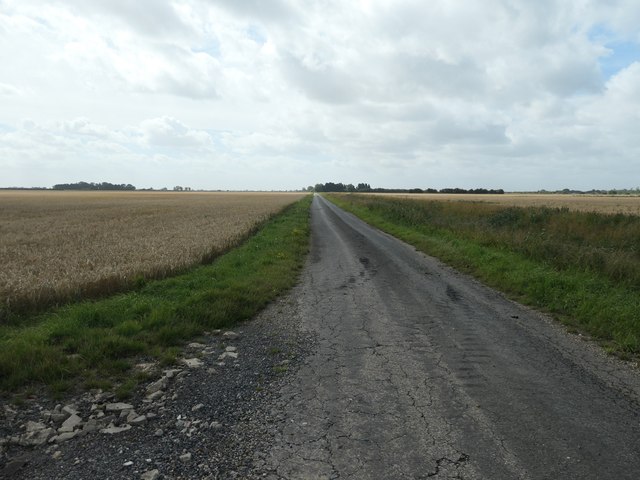
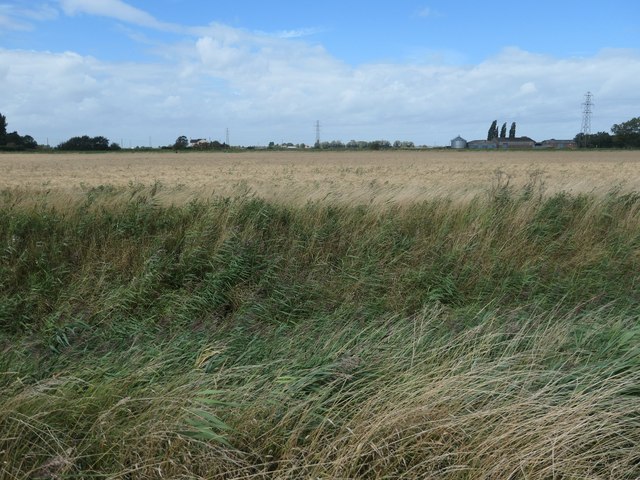
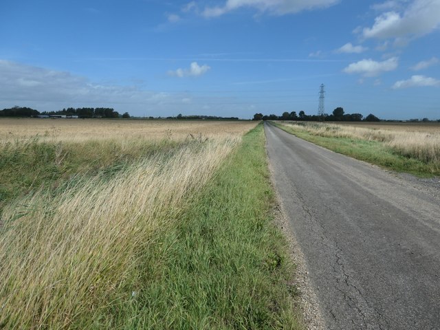
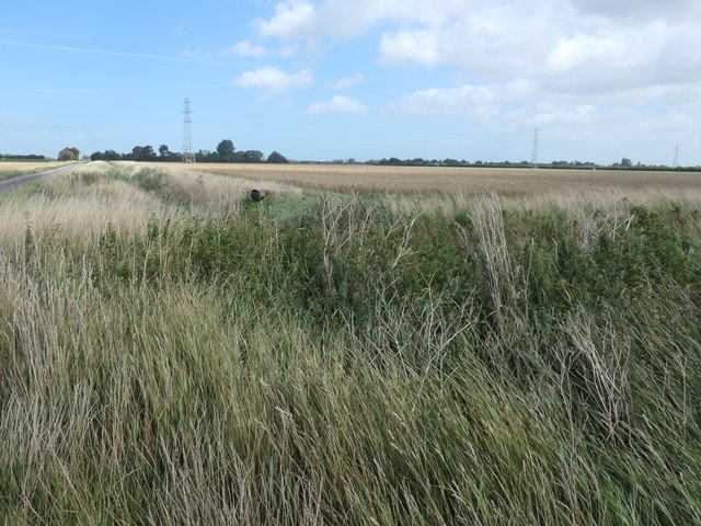
Whaplode St Catherine Images

Images are sourced within 2km of 52.76151/-0.014317024 or Grid Reference TF3420. Thanks to Geograph Open Source API. All images are credited.

Mill Gate near St Catherine's Bridge
Barley field and hedge off Cranesgate South
Alongside Little South Holland Drain Near St Catharine's Bridge.
Alongside Little South Holland Drain
Near St Catharine's Bridge.
Entrance to Whaplode St Catherine
B1165 eastbound
B1165 eastbound
The Blue Bell Inn
The Blue Bell Inn
The Blue Bell Inn
The Blue Bell Inn
Mill Gate
Mill Gate
Fox Headings, looking south A minor road south-west of Whaplode St Catherine. It connects the B1165 with Jekil's Bank.
Fox Headings, looking south
A minor road south-west of Whaplode St Catherine. It connects the B1165 with Jekil's Bank.
Fenland field, west side of Fox Headings About 3 metres above sea level.
Fenland field, west side of Fox Headings
About 3 metres above sea level.
Fox Headings, looking north A minor road south-west of Whaplode St Catherine. It connects the B1165 with Jekil's Bank.
Fox Headings, looking north
A minor road south-west of Whaplode St Catherine. It connects the B1165 with Jekil's Bank.
Drain on the east side of Fox Headings Drains are the seams in South Holland's patchwork of fields.
Drain on the east side of Fox Headings
Drains are the seams in South Holland's patchwork of fields.
Track heading east off Fox Headings Going to Grange Farm, on Crane's Gate.
Track heading east off Fox Headings
Going to Grange Farm, on Crane's Gate.
Barley field, west of Grange Farm On the east side of Fox Headings.
Barley field, west of Grange Farm
On the east side of Fox Headings.
Old Milestone, on the B1165, Ravens Bank Located on the South side of road, on the verge. Cast iron post, erected by an unknown authority, 19th century.   
 
Inscription reads: // SPALDING / 7M // TYDD / ST GILES / 8M // WHAPLODE   

Milestone Society National ID: LI_SPTY07
Old Milestone, on the B1165, Ravens Bank
Located on the South side of road, on the verge. Cast iron post, erected by an unknown authority, 19th century. Inscription reads: // SPALDING / 7M // TYDD / ST GILES / 8M // WHAPLODE Milestone Society National ID: LI_SPTY07
Joy's Bank
Joy's Bank
Jekils Bank
Jekils Bank
Nutts Lane
Nutts Lane
Show me another place!

Whaplode St Catherine is located at Grid Ref: TF3420 (Lat: 52.76151, Lng: -0.014317024)

Division: Parts of Holland

Administrative County: Lincolnshire

District: South Holland

Police Authority: Lincolnshire

What 3 Words

///kings.mobile.crumb. Near Whaplode, Lincolnshire

Nearby Locations

Whaplode St Catherine

Related Wikis

Elloes

Elloes was a local justice area (LJA) and former petty sessional division in Lincolnshire, England. It was formed in 1990 by a merger of the former East...

Holbeach St Johns

Holbeach St Johns is a small village in South Holland district of Lincolnshire, England. It is approximately 4 miles (6 km) south from the town of Holbeach...

Holbeach Fen

Holbeach Fen is a fenland settlement and area in the South Holland district of southern Lincolnshire, England. It is 3 miles (5 km) south from Holbeach...

Fenland Airfield

Fenland Airfield or Fenland Aerodrome (ICAO: EGCL) is located 6 nautical miles (11 km; 6.9 mi) southeast of the town Spalding near the small village of...

Nearby Amenities

Located within 500m of 52.76151,-0.014317024
Bus Stop
Rose Crescent
Naptan AtcoCode: 270000009664
Naptan Bearing: S
Naptan CommonName: Rose Crescent
Naptan Indicator: adj
Naptan Landmark: Rose Crescent
Naptan NaptanCode: linjdmwt
Naptan Street: Cranesgate North
Naptan Verified: no
Source: naptan_import
Lat/Long: 52.7618756/-0.0143607
Bus Stop
Village Hall
Naptan AtcoCode: 270000009665
Naptan Bearing: SW
Naptan CommonName: Village Hall
Naptan Indicator: adj
Naptan Landmark: Village Hall
Naptan NaptanCode: linjdpad
Naptan Street: Crane's Gate
Naptan Verified: no
Source: naptan_import
Lat/Long: 52.7612579/-0.0145222
Bus Stop
Village Hall
Naptan AtcoCode: 270000009666
Naptan Bearing: NE
Naptan CommonName: Village Hall
Naptan Indicator: opp
Naptan Landmark: Village Hall
Naptan NaptanCode: linjdpag
Naptan Street: Crane's Gate
Naptan Verified: no
Source: naptan_import
Lat/Long: 52.7613048/-0.0146386
Bus Stop
Cranesgate North
Naptan AtcoCode: 270000009667
Naptan Bearing: W
Naptan CommonName: Cranesgate North
Naptan Indicator: opp
Naptan Landmark: Cranesgate North
Naptan NaptanCode: linjdpaj
Naptan Street: Raven's Bank
Naptan Verified: no
Source: naptan_import
Lat/Long: 52.7615182/-0.0139619
Bus Stop
Cranesgate North
Naptan AtcoCode: 270000009668
Naptan Bearing: E
Naptan CommonName: Cranesgate North
Naptan Indicator: adj
Naptan Landmark: Cranesgate North
Naptan NaptanCode: linjdpam
Naptan Street: Raven's Bank
Naptan Verified: no
Source: naptan_import
Lat/Long: 52.7615441/-0.014435
Power: pole
Source: bing
Lat/Long: 52.7655891/-0.012357
Power: pole
Source: bing
Lat/Long: 52.7656119/-0.0157232
Power: pole
Source: bing
Lat/Long: 52.7656037/-0.0140173
Power: pole
Source: bing
Lat/Long: 52.7656248/-0.0172118
Whaplode St Catherine
Place: village
Source: Bing
Lat/Long: 52.761638/-0.0142051
Crane's Gate Farm
Historic Place: farm
Source: Bing
Lat/Long: 52.7622268/-0.0132318
Pub
The Bluebell Inn
Addr City: Spalding
Addr Country: GB
Addr Housename: The Bluebell Inn
Addr Postcode: PE12 6SN
Addr Street: Cranesgate South
Addr Suburb: Whaplode St. Catherines
Fhrs Authority: South Holland
Fhrs Id: 243024
Fhrs Local Authority Id: 4963
Phone: +44 1406540300
Source: Survey
Website: https://www.thebluebell.net/
Lat/Long: 52.7596386/-0.015376
The BlueBell Inn
Designation: Motorhome Nightstop
Source: Survey
Tourism: caravan_site
Lat/Long: 52.7592837/-0.0153434
Power: tower
Lat/Long: 52.7572666/-0.0147917
Post Office
Whaplode St Catherine Post Office
Addr City: Spalding
Addr Country: GB
Addr Housename: Whaplode St Catherine Village Hall
Addr Postcode: PE12 6SN
Addr Street: Cransgate South
Addr Suburb: Whaplode St. Catherines
Addr Village: Whaplode St Catherine
Brand: Post Office
Brand Wikidata: Q1783168
Fixme: Check precise location in hall
Opening Hours: Tu 11:00-13:00; Fr 14:00-16:00
Ref Pol Id: 125230
Source: pol_branch_list_2018-02
Website: https://www.postoffice.co.uk/branch-finder/2174715/whaplode-st-catherine
Lat/Long: 52.76121/-0.01425
The data included in this document is from www.openstreetmap.org. The data is made available under ODbL.

Have you been to Whaplode St Catherine?

Leave your review of Whaplode St Catherine below (or comments, questions and feedback).