Westerton

Settlement in Inverness-shire

Scotland

Westerton

Church at Castle Stuart
Church at Castle Stuart Credit: Dave Thompson

Westerton is a small village located in the county of Inverness-shire, in the Highland region of Scotland. Situated near the western banks of the River Spey, it is nestled amidst the picturesque countryside, characterized by rolling hills, lush green fields, and tranquil woodlands.

The village is home to a close-knit community and is known for its quaint charm and natural beauty. The architecture is predominantly traditional, with a mix of stone cottages and more modern houses. The village center features a small square where locals and visitors can find a few shops, a post office, and a cozy café.

Surrounded by stunning landscapes, Westerton offers a range of outdoor activities for nature enthusiasts. The nearby River Spey is renowned for its excellent salmon fishing opportunities, attracting anglers from far and wide. Hiking and cycling trails crisscross the area, providing breathtaking views of the surrounding countryside.

For those interested in history and culture, Westerton is conveniently located near several notable sites. Just a short drive away is the magnificent Cawdor Castle, a well-preserved medieval fortress with beautiful gardens. The nearby town of Inverness, known as the capital of the Highlands, offers a wealth of attractions, including Inverness Castle and the Inverness Museum and Art Gallery.

Overall, Westerton is a peaceful and scenic village that offers a tranquil escape from the hustle and bustle of everyday life. With its natural beauty, outdoor activities, and proximity to historical landmarks, it is an ideal destination for those seeking a taste of rural Scottish life.

If you have any feedback on the listing, please let us know in the comments section below.
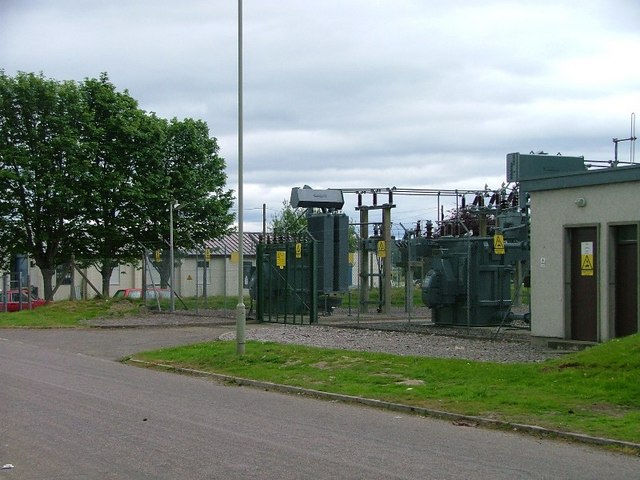
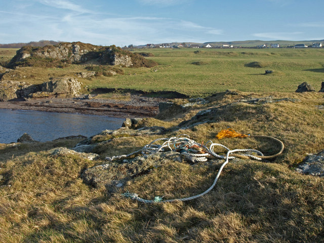
Westerton Images

Images are sourced within 2km of 57.536196/-4.0937368 or Grid Reference NH7451. Thanks to Geograph Open Source API. All images are credited.

Church at Castle Stuart
Chipboard factory, Tornagrain
Agricultural Land Near Wester Kerrowgair
Inverness Airport
Inverness Airport
Wester Kerrowgair Not sure what these should be up to, when not having a tea break. Planting I suspect.
Wester Kerrowgair
Not sure what these should be up to, when not having a tea break. Planting I suspect.
Fields Near Inverness Airport The airport building can be seen almost surrounding the old farmhouse.
Fields Near Inverness Airport
The airport building can be seen almost surrounding the old farmhouse.
Plantation, Wester Kerrowgair
Telephone Box, B9039, Wester Kerrowgair
Sub Station, Airport Industrial Estate
Temporary Toilet, Near Wester Kerrowgair For use by agricultural workers. I think it is Fortrose across the Moray Firth in the distance.
Temporary Toilet, Near Wester Kerrowgair
For use by agricultural workers. I think it is Fortrose across the Moray Firth in the distance.
Servicing hangar to the northwest of Inverness Airport.
Flooded Corner near Easter Dalziel
Field at Fisherton The piles are of stones removed from the field. There are plenty more left in the soil.
Field at Fisherton
The piles are of stones removed from the field. There are plenty more left in the soil.
Fisherton A highland cow taking in the view north over the Moray Firth.
Fisherton
A highland cow taking in the view north over the Moray Firth.
Upmarket accommodation for Chickens
Inverness (Dalcross) Airport The main passenger terminal building at Inverness Airport.
Inverness (Dalcross) Airport
The main passenger terminal building at Inverness Airport.
Inverness Airport A Saab 340B, headed for Shetland.
Inverness Airport
A Saab 340B, headed for Shetland.
Landing at Inverness From this roundabout the gated road is the original road that went past the end of the runway at Inverness Airport. Traffic on this road was stopped by traffic lights when planes were landing. This road has been closed and a new semicircular shaped road takes the traffic further away from the end of the runway.
Landing at Inverness
From this roundabout the gated road is the original road that went past the end of the runway at Inverness Airport. Traffic on this road was stopped by traffic lights when planes were landing. This road has been closed and a new semicircular shaped road takes the traffic further away from the end of the runway.
Show me another place!

Westerton is located at Grid Ref: NH7451 (Lat: 57.536196, Lng: -4.0937368)

Unitary Authority: Highland

Police Authority: Highlands and Islands

What 3 Words

///reverted.though.fidgeted. Near Ardersier, Highland

Nearby Locations

Fisherton Westerton

Related Wikis

Fisherton, Highland

Fisherton is a small coastal hamlet, overlooking the Moray Firth, and situated 3 miles northeast of Inverness in Inverness-shire, Scottish Highlands and...
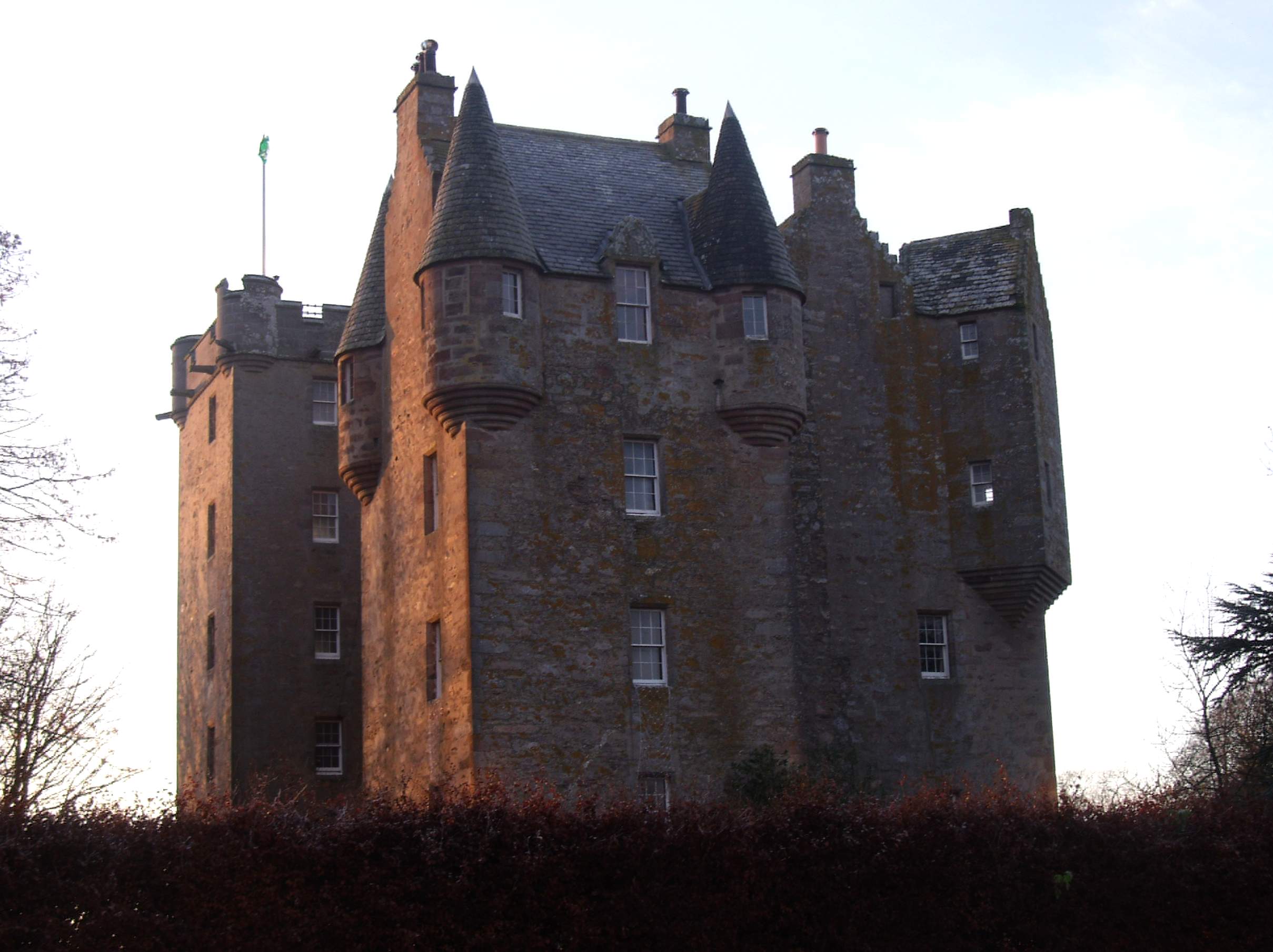
Castle Stuart

Castle Stuart is a restored tower house on the banks of the Moray Firth, about 6.5 miles (10 km) northeast of Inverness.The land the castle was built on...

Petty, Highland

Petty, or Pettie is a place and parish in Highland, Scotland. The village of Petty is about 7 miles (11 km) north east of Inverness. The parishes of Petty...

Dalcross railway station

Dalcross was a railway station located at Dalcross, to the east of Inverness, Scotland (now in the Highland Council Area). It opened in 1855 and closed...

Nearby Amenities

Located within 500m of 57.536196,-4.0937368
Westerton
Place: hamlet
Source: survey
Lat/Long: 57.5358585/-4.0948297
Bus Stop
Fisherton Road End
Naptan AtcoCode: 670030049
Naptan Bearing: NE
Naptan CommonName: Fisherton Road End
Naptan Indicator: at Junction
Naptan Landmark: Fisherton Road End
Naptan NaptanCode: 45326567
Naptan Street: B9039
Naptan Verified: no
Source: naptan_import
Lat/Long: 57.5332073/-4.0885275
Bus Stop
Fisherton Road End
Naptan AtcoCode: 670030049A
Naptan Bearing: SW
Naptan CommonName: Fisherton Road End
Naptan Indicator: opp Junction
Naptan Landmark: Fisherton Road End
Naptan NaptanCode: 45326568
Naptan Street: B9039
Naptan Verified: no
Source: naptan_import
Lat/Long: 57.5329293/-4.0884949
Man Made: tower
Tower Type: communication
Lat/Long: 57.5337821/-4.0895701
Golf: pin
Lat/Long: 57.5360411/-4.0996904
Golf: pin
Lat/Long: 57.53462/-4.0992029
Power: pole
Lat/Long: 57.5321519/-4.0933271
Power: pole
Lat/Long: 57.5321783/-4.0924561
Power: pole
Lat/Long: 57.5322412/-4.0913301
Power: pole
Lat/Long: 57.5322968/-4.0903473
Power: pole
Lat/Long: 57.5353401/-4.096645
Power: pole
Lat/Long: 57.5353379/-4.0961461
Power: pole
Lat/Long: 57.535343/-4.095136
Power: pole
Lat/Long: 57.5353569/-4.0943413
Power: pole
Lat/Long: 57.5389626/-4.089971
Power: pole
Lat/Long: 57.5393028/-4.0892499
Power: pole
Lat/Long: 57.533/-4.0916327
Power: pole
Lat/Long: 57.533644/-4.0918672
Power: pole
Lat/Long: 57.5342703/-4.092118
Power: pole
Lat/Long: 57.5349311/-4.0923838
Power: pole
Lat/Long: 57.5354462/-4.0918958
Power: pole
Lat/Long: 57.5359862/-4.0913615
Power: pole
Lat/Long: 57.5372945/-4.0898293
Power: pole
Lat/Long: 57.5379208/-4.0893767
Power: pole
Lat/Long: 57.538588/-4.0888887
Power: pole
Lat/Long: 57.5390256/-4.0884743
Power: pole
Lat/Long: 57.5394689/-4.0880408
The data included in this document is from www.openstreetmap.org. The data is made available under ODbL.

Have you been to Westerton?

Leave your review of Westerton below (or comments, questions and feedback).