West End

Settlement in Yorkshire

England

West End

Marsh Lea Grove, Hemsworth
Marsh Lea Grove, Hemsworth Credit: Neil Theasby

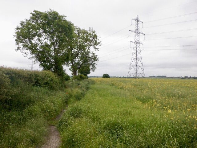
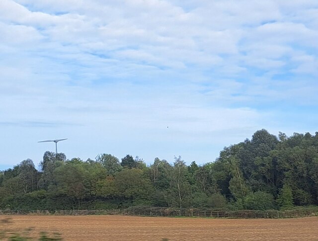
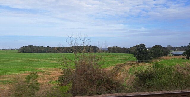
West End is a small village located in the county of Yorkshire, England. Situated in the beautiful countryside, it is part of the larger metropolitan borough of Leeds. The village is nestled in a picturesque valley, surrounded by rolling hills and lush greenery, making it a popular destination for nature enthusiasts.

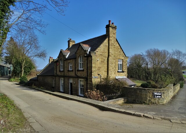
West End has a rich history dating back to medieval times, with evidence of settlements and agricultural activity in the area. The village is known for its charming architecture, with traditional stone-built houses lining the streets. The local community takes pride in preserving the village's heritage, resulting in well-maintained buildings and a strong sense of identity.

Despite its rural setting, West End offers a range of amenities to its residents and visitors. There is a local primary school, a village hall, and a few small shops and pubs that provide essential services and a sense of community. The village also benefits from excellent transport links, with regular bus services connecting it to nearby towns and cities.

For outdoor enthusiasts, West End offers a plethora of opportunities for exploration and recreation. The surrounding countryside is crisscrossed by numerous walking and cycling trails, allowing visitors to take in the breathtaking views and immerse themselves in nature. Additionally, there are several parks and nature reserves in the vicinity, providing habitats for various wildlife species.

In conclusion, West End is a charming village in Yorkshire, England, known for its stunning natural beauty, rich history, and close-knit community. It is an ideal destination for those seeking a peaceful retreat amidst the picturesque countryside.

If you have any feedback on the listing, please let us know in the comments section below.
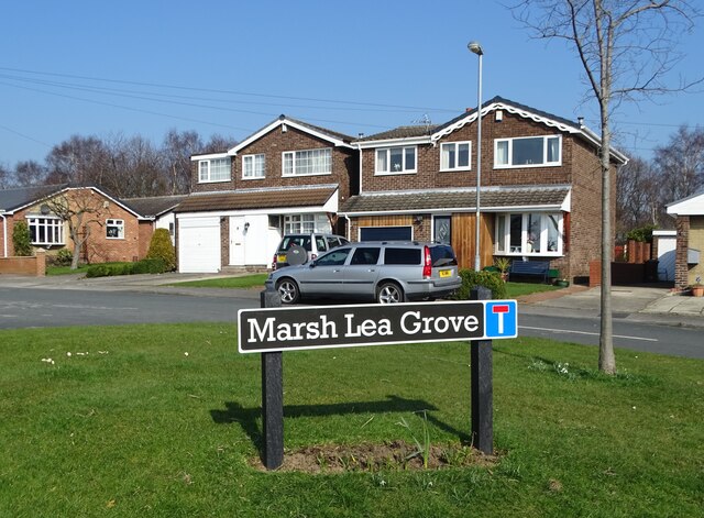
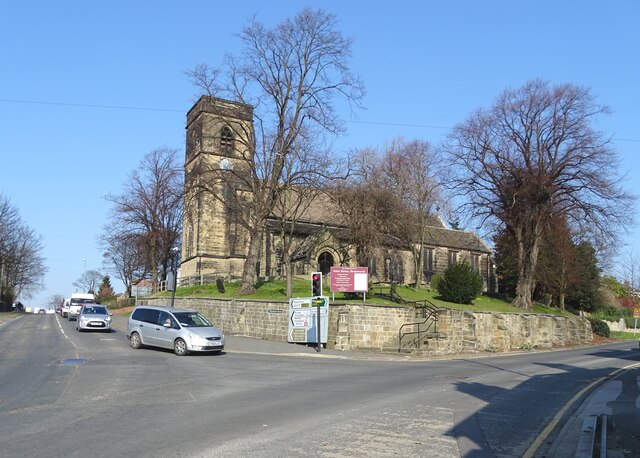
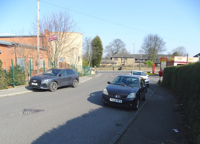
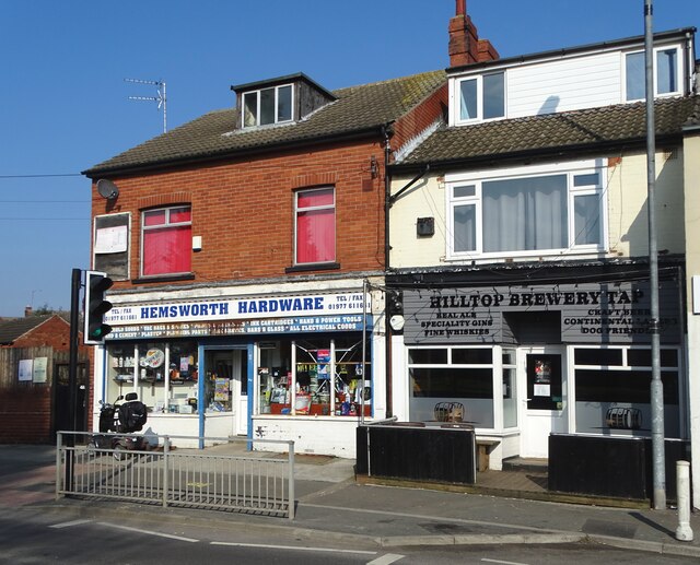
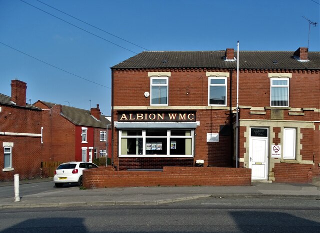
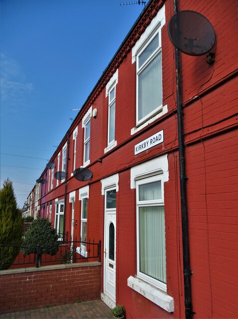
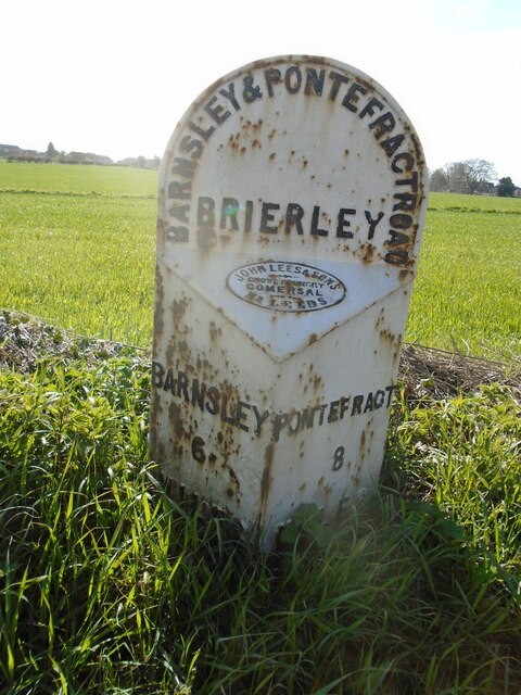
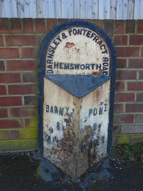
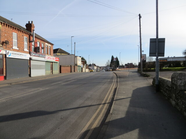
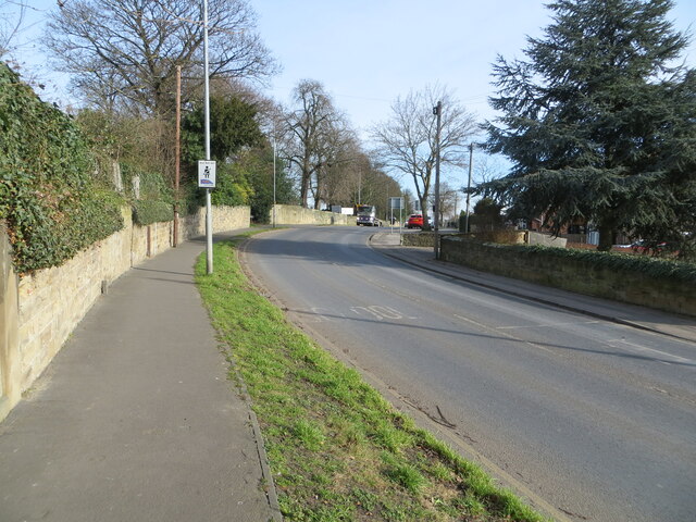
West End Images

Images are sourced within 2km of 53.611145/-1.3645221 or Grid Reference SE4212. Thanks to Geograph Open Source API. All images are credited.

Marsh Lea Grove, Hemsworth
St Helen's Church, Hemsworth The church was largely rebuilt by John Loughborough Pearson between 1865 and 1867, retaining some medieval fabric. It is built in sandstone, the roof of the nave is tiled, and elsewhere are stone slate roofs. The church consists of a nave, north and south aisles, a south porch, a chancel with a south chapel and a north vestry, and a west tower. The tower has four stages, it contains a three-light west window, and has a plain parapet. The east window is large, with five lights, Decorated tracery, and a hood mould. (Wikipedia)
St Helen's Church, Hemsworth
The church was largely rebuilt by John Loughborough Pearson between 1865 and 1867, retaining some medieval fabric. It is built in sandstone, the roof of the nave is tiled, and elsewhere are stone slate roofs. The church consists of a nave, north and south aisles, a south porch, a chancel with a south chapel and a north vestry, and a west tower. The tower has four stages, it contains a three-light west window, and has a plain parapet. The east window is large, with five lights, Decorated tracery, and a hood mould. (Wikipedia)
On Bullenshaw Road, Hemsworth Looking to Kirkby Road with Hemsworth Community Centre on the left.
On Bullenshaw Road, Hemsworth
Looking to Kirkby Road with Hemsworth Community Centre on the left.
Hemsworth Hardware Store on Kirkby Road
Albion Workingmen's Club, Hemsworth On Kirkby Road
Albion Workingmen's Club, Hemsworth
On Kirkby Road
Terraced houses on Kirkby Road, Hemsworth
Hague Hall Lodge on Water Lane Between Hemsworth and South Kirkby
Hague Hall Lodge on Water Lane
Between Hemsworth and South Kirkby
Date stone and coat of arms In what looks like an old window recess - on the western facade of Hague Hall Lodge. A little internet research did not lead me to an explanation of this artefact.
Date stone and coat of arms
In what looks like an old window recess - on the western facade of Hague Hall Lodge. A little internet research did not lead me to an explanation of this artefact.
Old milepost This post at the north end of Brierley was completely refurbished in February 2019.   Many hours were spent removing all the old paint with various protective coats applied.  But it is only 70cm from the edge of this busy road and grit and stones thrown up by passing traffic have taken their toll.   It is the only post along this route which has the foundry name, John Lees & Sons, Grove Foundry, Gomersal, Nr Leeds.   It is Grade II Listed 1314993.
Old milepost
This post at the north end of Brierley was completely refurbished in February 2019. Many hours were spent removing all the old paint with various protective coats applied. But it is only 70cm from the edge of this busy road and grit and stones thrown up by passing traffic have taken their toll. It is the only post along this route which has the foundry name, John Lees & Sons, Grove Foundry, Gomersal, Nr Leeds. It is Grade II Listed 1314993.
Old milepost The town of Hemsworth is now by-passed but this is one of 2 mileposts from the Barnsley to Pontefract tollroad (1825-1870) on the original route.  It is on Station Road near Lowfield Road.   Grade II Listed 1226647.
Old milepost
The town of Hemsworth is now by-passed but this is one of 2 mileposts from the Barnsley to Pontefract tollroad (1825-1870) on the original route. It is on Station Road near Lowfield Road. Grade II Listed 1226647.
Market Street, Hemsworth Looking south-eastward.
Market Street, Hemsworth
Looking south-eastward.
Station Road, Hemsworth Looking eastward.
Station Road, Hemsworth
Looking eastward.
Oilseed rape and path, Hemsworth
Low Field, from the railway The fenced-off area projecting forward from the trees into the field marks where Lowfield Road turns to tunnel under the A628 Hemsworth Bypass, which runs along the line of trees.
Low Field, from the railway
The fenced-off area projecting forward from the trees into the field marks where Lowfield Road turns to tunnel under the A628 Hemsworth Bypass, which runs along the line of trees.
Kinsley Common, from the railway On the extreme right, about to flash out of the picture, are some of the buildings of Hemsworth Turkey Farms on Hoyle Mill Road.
Kinsley Common, from the railway
On the extreme right, about to flash out of the picture, are some of the buildings of Hemsworth Turkey Farms on Hoyle Mill Road.
Hemsworth bus station A small, somewhat basic facility attached to the side of a Tesco superstore in the town centre.
Hemsworth bus station
A small, somewhat basic facility attached to the side of a Tesco superstore in the town centre.
Church of St Helen, Hemsworth The Church of England establishment (if you'll forgive the unintentional pun) in the town, in a prominent place above the town centre.
Church of St Helen, Hemsworth
The Church of England establishment (if you'll forgive the unintentional pun) in the town, in a prominent place above the town centre.
Vehicular entrance to Hemsworth Arts & Community Academy For some reason, pedestrians are not permitted to enter the campus from this entrance off Station Road.
Vehicular entrance to Hemsworth Arts & Community Academy
For some reason, pedestrians are not permitted to enter the campus from this entrance off Station Road.
Show me another place!

West End is located at Grid Ref: SE4212 (Lat: 53.611145, Lng: -1.3645221)

Division: West Riding

Unitary Authority: Wakefield

Police Authority: West Yorkshire

What 3 Words

///culminate.spilling.remarks. Near Hemsworth, West Yorkshire

Nearby Locations

Highfield West End

Related Wikis

Hemsworth Rural District

Hemsworth was, from 1894 to 1974, a rural district in the West Riding of Yorkshire, England. == Creation == The district was formed by the Local Government...

Hemsworth (UK Parliament constituency)

Hemsworth is a constituency in West Yorkshire represented in the House of Commons since 1996 by Jon Trickett of the Labour Party.Further to the completion...

Outwood Academy Hemsworth

Outwood Academy Hemsworth, known previously as Hemsworth Arts and Community Academy and Hemsworth Arts and Community College, is a mixed secondary school...

Hemsworth

Hemsworth is a town and civil parish in the City of Wakefield, West Yorkshire, England. Historically within the West Riding of Yorkshire and had a population...

Nearby Amenities

Located within 500m of 53.611145,-1.3645221
Hemsworth
Place: town
Population: 15,311
Wikidata: Q2556975
Wikipedia: en:Hemsworth
Lat/Long: 53.6131631/-1.36018
Pub
West End Club
Addr City: Pontefract
Addr Postcode: WF9 4QZ
Addr Street: Barnsley Road
Addr Suburb: Hemsworth
Addr Town: Pontefract
Fhrs Id: 314064
Lat/Long: 53.6131285/-1.3610236
Crossing
Crossing: traffic_signals
Crossing Ref: pelican
Lat/Long: 53.6131281/-1.3595384
Bus Stop
Rosehill Avenue Ferndale Place
Local Ref: 45017804
Naptan AtcoCode: 450017804
Naptan Bearing: NW
Naptan CommonName: Rosehill Avenue Ferndale Place
Naptan Crossing: Ferndale Place
Naptan Indicator: Stop 45017804
Naptan ShortCommonName: Ferndale Place
Naptan Street: Rosehill Avenue
Naptan Verified: no
Source: naptan_import
Lat/Long: 53.6079878/-1.3596471
Bus Stop
Gargrave Crescent Moorshutt Road
Local Ref: 45017809
Naptan AtcoCode: 450017809
Naptan Bearing: NE
Naptan CommonName: Gargrave Crescent Moorshutt Road
Naptan Crossing: Moorshutt Road
Naptan Indicator: Stop 45017809
Naptan ShortCommonName: Moorshutt Road
Naptan Street: Gargrave Crescent
Naptan Verified: no
Source: naptan_import
Lat/Long: 53.6094984/-1.3631158
Bus Stop
Meadow Rise Hollins Mount
Local Ref: 45017811
Naptan AtcoCode: 450017811
Naptan Bearing: S
Naptan CommonName: Meadow Rise Hollins Mount
Naptan Indicator: Stop 45017811
Naptan Notes: Stop moved opp no longer BD 27/01/09
Naptan ShortCommonName: Meadow Rise
Naptan Street: Meadow Rise
Naptan Verified: no
Source: naptan_import
Lat/Long: 53.6122903/-1.3590832
Bus Stop
Barnsley Road Town Street
Local Ref: 45017812
Naptan AtcoCode: 450017812
Naptan Bearing: NE
Naptan CommonName: Barnsley Road Town Street
Naptan Crossing: Adj Town Street
Naptan Indicator: Stop 45017812
Naptan Notes: 3P case awaiting installation see Alan Guest
Naptan PlusbusZoneRef: LEEDS
Naptan ShortCommonName: Close Street
Naptan Street: Barnsley Road
Naptan Verified: no
Source: naptan_import
Lat/Long: 53.6129747/-1.3609925
Bus Stop
Barnsley Road Town Street
Local Ref: 45017813
Naptan AtcoCode: 450017813
Naptan Bearing: SW
Naptan CommonName: Barnsley Road Town Street
Naptan Crossing: Top Street
Naptan Indicator: Stop 45017813
Naptan Landmark: Motorist Centre
Naptan Notes: 3P tt case removed 040906 awaiting replacement
Naptan PlusbusZoneRef: LEEDS
Naptan ShortCommonName: Town Street
Naptan Street: Barnsley Road
Naptan Verified: no
Source: naptan_import
Lat/Long: 53.6126624/-1.3614205
Bus Stop
Barnsley Road Wortley Place
Local Ref: 45017814
Naptan AtcoCode: 450017814
Naptan Bearing: SW
Naptan CommonName: Barnsley Road Wortley Place
Naptan Crossing: Moorshutt Road
Naptan Indicator: Stop 45017814
Naptan Notes: 3P case awaiting installation see Alan Guest
Naptan PlusbusZoneRef: LEEDS
Naptan ShortCommonName: Wortley Place
Naptan Street: Barnsley Road
Naptan Verified: no
Source: naptan_import
Lat/Long: 53.6112658/-1.3641624
Bus Stop
Barnsley Road Moorshutt Road
Local Ref: 45017815
Naptan AtcoCode: 450017815
Naptan Bearing: NE
Naptan CommonName: Barnsley Road Moorshutt Road
Naptan Crossing: Wortley Place
Naptan Indicator: Stop 45017815
Naptan PlusbusZoneRef: LEEDS
Naptan ShortCommonName: Moorshutt Road
Naptan Street: Barnsley Road
Naptan Verified: no
Source: naptan_import
Lat/Long: 53.6110452/-1.3649366
Bus Stop
Barnsley Road Vissitt Close
Local Ref: 45017816
Naptan AtcoCode: 450017816
Naptan Bearing: NE
Naptan CommonName: Barnsley Road Vissitt Close
Naptan Crossing: Nr-At Vissitt Close
Naptan Indicator: Stop 45017816
Naptan PlusbusZoneRef: LEEDS
Naptan ShortCommonName: Vissett Close
Naptan Street: Barnsley Road
Naptan Verified: no
Source: naptan_import
Lat/Long: 53.6089519/-1.3668422
Bus Stop
Barnsley Road Vissett Close
Local Ref: 45026908
Naptan AtcoCode: 450026908
Naptan Bearing: NE
Naptan CommonName: Barnsley Road Vissett Close
Naptan Crossing: Vissett Close
Naptan Indicator: Stop 45026908
Naptan PlusbusZoneRef: LEEDS
Naptan ShortCommonName: Vissett Close
Naptan Street: Barnsley Road
Naptan Verified: no
Source: naptan_import
Lat/Long: 53.6089242/-1.3667066
Bus Stop
Highfield Road Moorfield Place
Naptan AtcoCode: 450029056
Naptan Bearing: SW
Naptan CommonName: Highfield Road Moorfield Place
Naptan Crossing: Moorfield Place
Naptan Landmark: Unknown
Naptan ShortCommonName: Highfield Road
Naptan Street: Highfield Road
Naptan Verified: no
Source: naptan_import
Lat/Long: 53.6079241/-1.3611746
Bus Stop
Gargrave Crescent
Naptan AtcoCode: 450029057
Naptan Bearing: NE
Naptan CommonName: Gargrave Crescent
Naptan Crossing: Gargrave Place
Naptan Landmark: Unknown
Naptan ShortCommonName: Gargrave Place
Naptan Street: Gargrave Crescent
Naptan Verified: no
Source: naptan_import
Lat/Long: 53.6110529/-1.3613239
Turning Circle
Lat/Long: 53.6112984/-1.3620291
Noexit: yes
Lat/Long: 53.6142244/-1.3593826
Post Box
Operator: Royal Mail
Post Box Type: wall
Ref: WF9 121
Lat/Long: 53.6092986/-1.361264
Post Box
Operator: Royal Mail
Post Box Type: lamp
Ref: WF9 124
Lat/Long: 53.6111867/-1.3646771
Post Box
Operator: Royal Mail
Post Box Type: wall
Ref: WF9 111
Lat/Long: 53.6130675/-1.3594522
Fast Food
The Kingfisher
Addr City: Pontefract
Addr Housenumber: 78
Addr Postcode: WF9 4QX
Addr Street: Barnsley Road
Addr Suburb: Hemsworth
Addr Town: Pontefract
Cuisine: fish_and_chips
Fhrs Id: 284342
Takeaway: yes
Lat/Long: 53.6128531/-1.3617119
Fast Food
La Pizzeria
Addr City: Pontefract
Addr Housenumber: 76
Addr Postcode: WF9 4QX
Addr Street: Barnsley Road
Addr Suburb: Hemsworth
Addr Town: Pontefract
Cuisine: pizza
Fhrs Id: 284487
Takeaway: yes
Lat/Long: 53.6128753/-1.3616475
Premier
Addr City: Pontefract
Addr Housenumber: 51-55
Addr Postcode: WF9 4QZ
Addr Street: Barnsley Road
Addr Suburb: Hemsworth
Addr Town: Pontefract
Brand: Premier
Brand Wikidata: Q7240340
Brand Wikipedia: en:Premier Stores
Fhrs Id: 1035754
Shop: convenience
Website: https://www.premier-stores.co.uk/our-stores/singhs-0
Lat/Long: 53.6130146/-1.3600972
Fast Food
Snack In A Box
Addr City: Pontefract
Addr Housenumber: 57
Addr Postcode: WF9 4QZ
Addr Street: Barnsley Road
Addr Suburb: Hemsworth
Addr Town: Pontefract
Cuisine: sandwich
Fhrs Id: 1037632
Takeaway: yes
Lat/Long: 53.6129796/-1.3602152
Barrier: bollard
Foot: yes
Motor Vehicle: no
Lat/Long: 53.6150224/-1.3608907
Generator Method: photovoltaic
Generator Output Electricity: yes
Generator Source: solar
Generator Type: solar_photovoltaic_panel
Location: roof
Power: generator
Lat/Long: 53.6110964/-1.3619909
Generator Method: photovoltaic
Generator Output Electricity: yes
Generator Source: solar
Generator Type: solar_photovoltaic_panel
Location: roof
Power: generator
Lat/Long: 53.6114639/-1.3620311
Generator Method: photovoltaic
Generator Output Electricity: yes
Generator Source: solar
Generator Type: solar_photovoltaic_panel
Location: roof
Power: generator
Lat/Long: 53.6115339/-1.3618299
Generator Method: photovoltaic
Generator Output Electricity: yes
Generator Source: solar
Generator Type: solar_photovoltaic_panel
Location: roof
Power: generator
Lat/Long: 53.6115705/-1.3617334
Generator Method: photovoltaic
Generator Output Electricity: yes
Generator Source: solar
Generator Type: solar_photovoltaic_panel
Location: roof
Power: generator
Lat/Long: 53.611779/-1.3612586
Generator Method: photovoltaic
Generator Output Electricity: yes
Generator Source: solar
Generator Type: solar_photovoltaic_panel
Location: roof
Power: generator
Lat/Long: 53.6119684/-1.3606444
Generator Method: photovoltaic
Generator Output Electricity: yes
Generator Source: solar
Generator Type: solar_photovoltaic_panel
Location: roof
Power: generator
Lat/Long: 53.61239/-1.3639247
Generator Method: photovoltaic
Generator Output Electricity: yes
Generator Source: solar
Generator Type: solar_photovoltaic_panel
Location: roof
Power: generator
Lat/Long: 53.6124521/-1.3663843
Generator Method: photovoltaic
Generator Output Electricity: yes
Generator Source: solar
Generator Type: solar_photovoltaic_panel
Location: roof
Power: generator
Lat/Long: 53.6124203/-1.3664487
Generator Method: photovoltaic
Generator Output Electricity: yes
Generator Source: solar
Generator Type: solar_photovoltaic_panel
Location: roof
Power: generator
Lat/Long: 53.6105553/-1.3662985
Generator Method: photovoltaic
Generator Output Electricity: yes
Generator Source: solar
Generator Type: solar_photovoltaic_panel
Location: roof
Power: generator
Lat/Long: 53.6105919/-1.3664541
Generator Method: photovoltaic
Generator Output Electricity: yes
Generator Source: solar
Generator Type: solar_photovoltaic_panel
Location: roof
Power: generator
Lat/Long: 53.61095/-1.3670495
Generator Method: photovoltaic
Generator Output Electricity: yes
Generator Source: solar
Generator Type: solar_photovoltaic_panel
Location: roof
Power: generator
Lat/Long: 53.6111711/-1.3664514
Generator Method: photovoltaic
Generator Output Electricity: yes
Generator Source: solar
Generator Type: solar_photovoltaic_panel
Location: roof
Power: generator
Lat/Long: 53.6110916/-1.3666391
Generator Method: photovoltaic
Generator Output Electricity: yes
Generator Source: solar
Generator Type: solar_photovoltaic_panel
Location: roof
Power: generator
Lat/Long: 53.610872/-1.3663602
Generator Method: photovoltaic
Generator Output Electricity: yes
Generator Source: solar
Generator Type: solar_photovoltaic_panel
Location: roof
Power: generator
Lat/Long: 53.6107861/-1.3660651
Generator Method: photovoltaic
Generator Output Electricity: yes
Generator Source: solar
Generator Type: solar_photovoltaic_panel
Location: roof
Power: generator
Lat/Long: 53.6073583/-1.3684738
Generator Method: photovoltaic
Generator Output Electricity: yes
Generator Source: solar
Generator Type: solar_photovoltaic_panel
Location: roof
Power: generator
Lat/Long: 53.6080363/-1.3680661
Generator Method: photovoltaic
Generator Output Electricity: yes
Generator Source: solar
Generator Type: solar_photovoltaic_panel
Location: roof
Power: generator
Lat/Long: 53.608563/-1.3678703
Generator Method: photovoltaic
Generator Output Electricity: yes
Generator Source: solar
Generator Type: solar_photovoltaic_panel
Location: roof
Power: generator
Lat/Long: 53.6085423/-1.3677228
Generator Method: photovoltaic
Generator Output Electricity: yes
Generator Source: solar
Generator Type: solar_photovoltaic_panel
Location: roof
Power: generator
Lat/Long: 53.6084659/-1.3678005
Generator Method: photovoltaic
Generator Output Electricity: yes
Generator Source: solar
Generator Type: solar_photovoltaic_panel
Location: roof
Power: generator
Lat/Long: 53.6089386/-1.3654697
Generator Method: photovoltaic
Generator Output Electricity: yes
Generator Source: solar
Generator Type: solar_photovoltaic_panel
Location: roof
Power: generator
Lat/Long: 53.6080347/-1.3615295
Generator Method: photovoltaic
Generator Output Electricity: yes
Generator Source: solar
Generator Type: solar_photovoltaic_panel
Location: roof
Power: generator
Lat/Long: 53.6084898/-1.360521
Generator Method: photovoltaic
Generator Output Electricity: yes
Generator Source: solar
Generator Type: solar_photovoltaic_panel
Location: roof
Power: generator
Lat/Long: 53.6085757/-1.3603386
Generator Method: photovoltaic
Generator Output Electricity: yes
Generator Source: solar
Generator Type: solar_photovoltaic_panel
Location: roof
Power: generator
Lat/Long: 53.6081461/-1.3604996
Generator Method: photovoltaic
Generator Output Electricity: yes
Generator Source: solar
Generator Type: solar_photovoltaic_panel
Location: roof
Power: generator
Lat/Long: 53.6081779/-1.3604057
Generator Method: photovoltaic
Generator Output Electricity: yes
Generator Source: solar
Generator Type: solar_photovoltaic_panel
Location: roof
Power: generator
Lat/Long: 53.6082559/-1.3603064
Generator Method: photovoltaic
Generator Output Electricity: yes
Generator Source: solar
Generator Type: solar_photovoltaic_panel
Location: roof
Power: generator
Lat/Long: 53.6082813/-1.3601938
Generator Method: photovoltaic
Generator Output Electricity: yes
Generator Source: solar
Generator Type: solar_photovoltaic_panel
Location: roof
Power: generator
Lat/Long: 53.6083052/-1.3599765
Generator Method: photovoltaic
Generator Output Electricity: yes
Generator Source: solar
Generator Type: solar_photovoltaic_panel
Location: roof
Power: generator
Lat/Long: 53.6082829/-1.360065
Generator Method: photovoltaic
Generator Output Electricity: yes
Generator Source: solar
Generator Type: solar_photovoltaic_panel
Location: roof
Power: generator
Lat/Long: 53.6081365/-1.3593221
Generator Method: photovoltaic
Generator Output Electricity: yes
Generator Source: solar
Generator Type: solar_photovoltaic_panel
Location: roof
Power: generator
Lat/Long: 53.6082288/-1.3589761
Generator Method: photovoltaic
Generator Output Electricity: yes
Generator Source: solar
Generator Type: solar_photovoltaic_panel
Location: roof
Power: generator
Lat/Long: 53.6093873/-1.3586435
Generator Method: photovoltaic
Generator Output Electricity: yes
Generator Source: solar
Generator Type: solar_photovoltaic_panel
Location: roof
Power: generator
Lat/Long: 53.6094382/-1.3585389
Generator Method: photovoltaic
Generator Output Electricity: yes
Generator Source: solar
Generator Type: solar_photovoltaic_panel
Location: roof
Power: generator
Lat/Long: 53.6100763/-1.3572943
Generator Method: photovoltaic
Generator Output Electricity: yes
Generator Source: solar
Generator Type: solar_photovoltaic_panel
Location: roof
Power: generator
Lat/Long: 53.6101018/-1.3572246
Generator Method: photovoltaic
Generator Output Electricity: yes
Generator Source: solar
Generator Type: solar_photovoltaic_panel
Location: roof
Power: generator
Lat/Long: 53.6099809/-1.3572514
Generator Method: photovoltaic
Generator Output Electricity: yes
Generator Source: solar
Generator Type: solar_photovoltaic_panel
Location: roof
Power: generator
Lat/Long: 53.6116246/-1.3570181
Traffic Signals
Traffic Signals: crossing
Traffic Signals Direction: forward
Lat/Long: 53.6131292/-1.3595862
Traffic Signals
Traffic Signals: crossing
Traffic Signals Direction: backward
Lat/Long: 53.6131282/-1.3595007
The data included in this document is from www.openstreetmap.org. The data is made available under ODbL.

Have you been to West End?

Leave your review of West End below (or comments, questions and feedback).