West End

Settlement in Somerset South Somerset

England

West End

Stoke-sub-Hamdon An evening view of Ham Hill from North St in Stoke sub Hamdon - note the old sign with alternative name for the village
Stoke-sub-Hamdon Credit: Jon Wornham

West End is a small village situated in the county of Somerset, England. It is located approximately 5 miles west of the bustling town of Shepton Mallet and around 14 miles south of the historic city of Bath. With a population of around 500 people, the village offers a peaceful and picturesque setting for its residents.

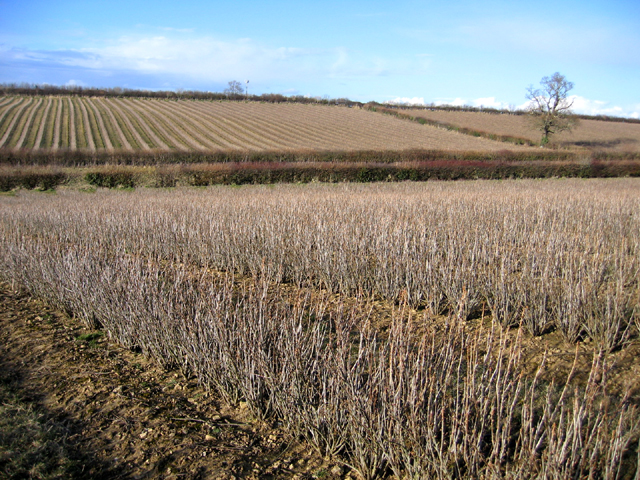
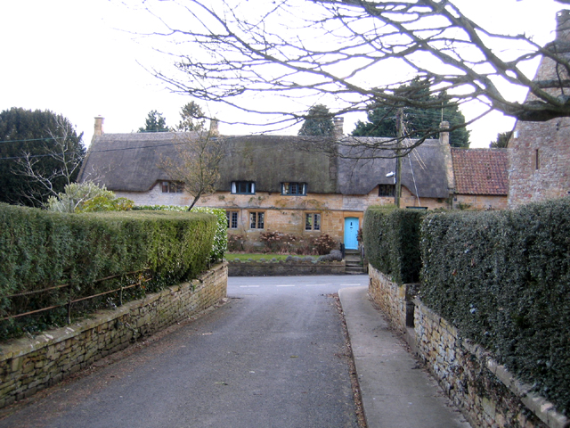
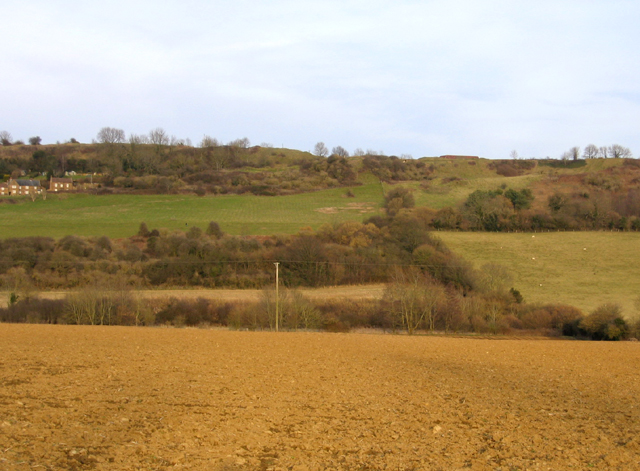
Nestled in the Mendip Hills, West End boasts stunning natural surroundings, including rolling green fields, wooded areas, and charming countryside views. The village is known for its idyllic beauty and is a popular destination for nature lovers and hikers.

Despite its small size, West End has a strong sense of community. The residents often come together for various events and activities, including local fairs, charity fundraisers, and social gatherings. The village also has a primary school, providing education for the local children.

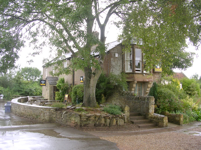
In terms of amenities, West End has a pub that serves as a focal point for the community, offering a place for residents to socialize and enjoy a drink or meal. Additionally, there are a few small businesses and shops that cater to the daily needs of the villagers.

For those seeking a tranquil and close-knit community, West End provides an ideal setting. Its proximity to larger towns and cities ensures that residents have access to a wider range of services and amenities, while still being able to enjoy the charm and tranquility of village life.

If you have any feedback on the listing, please let us know in the comments section below.
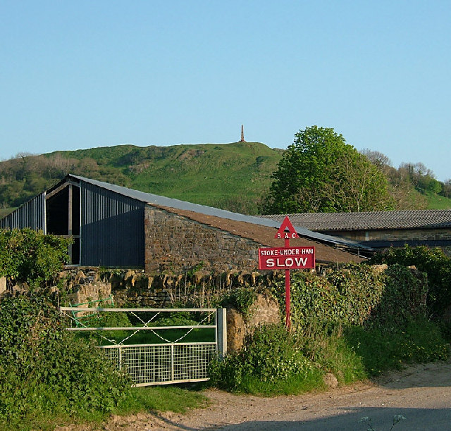
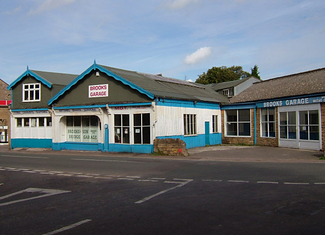
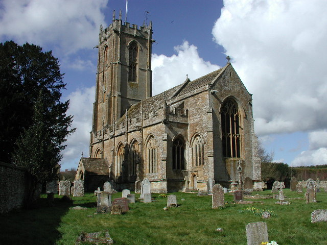
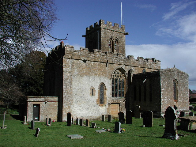
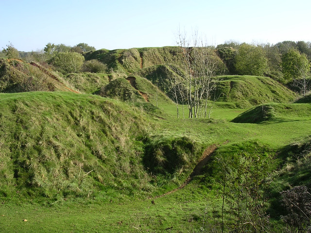
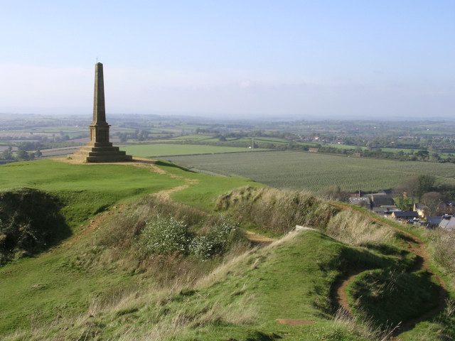
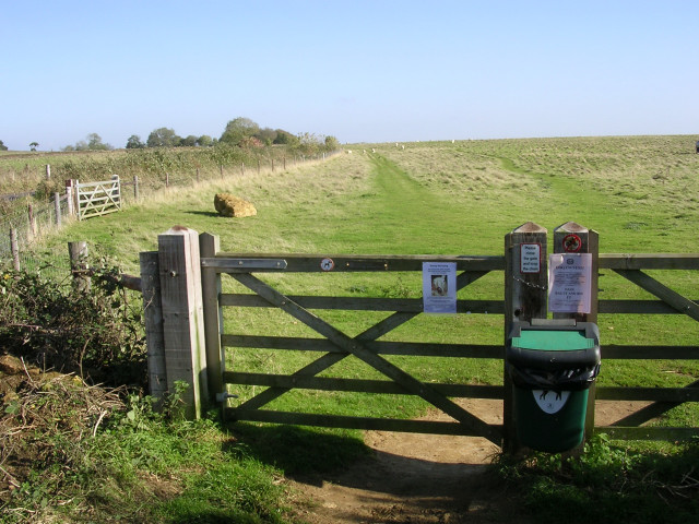
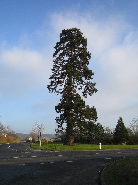
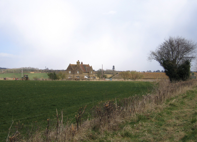
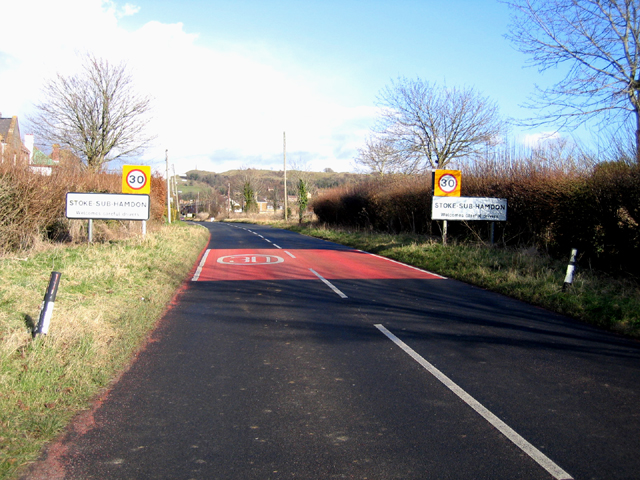
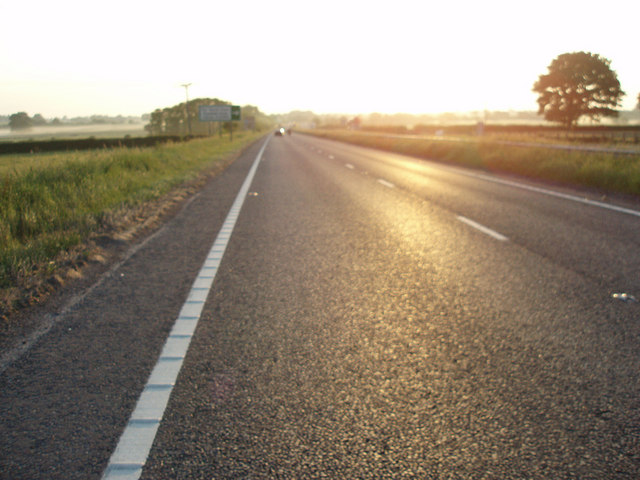
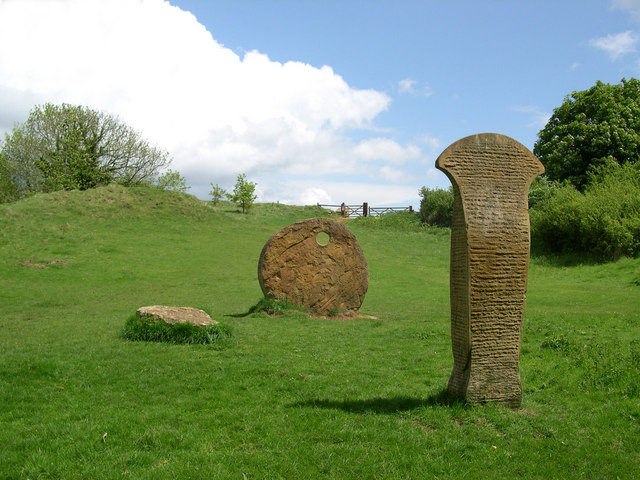
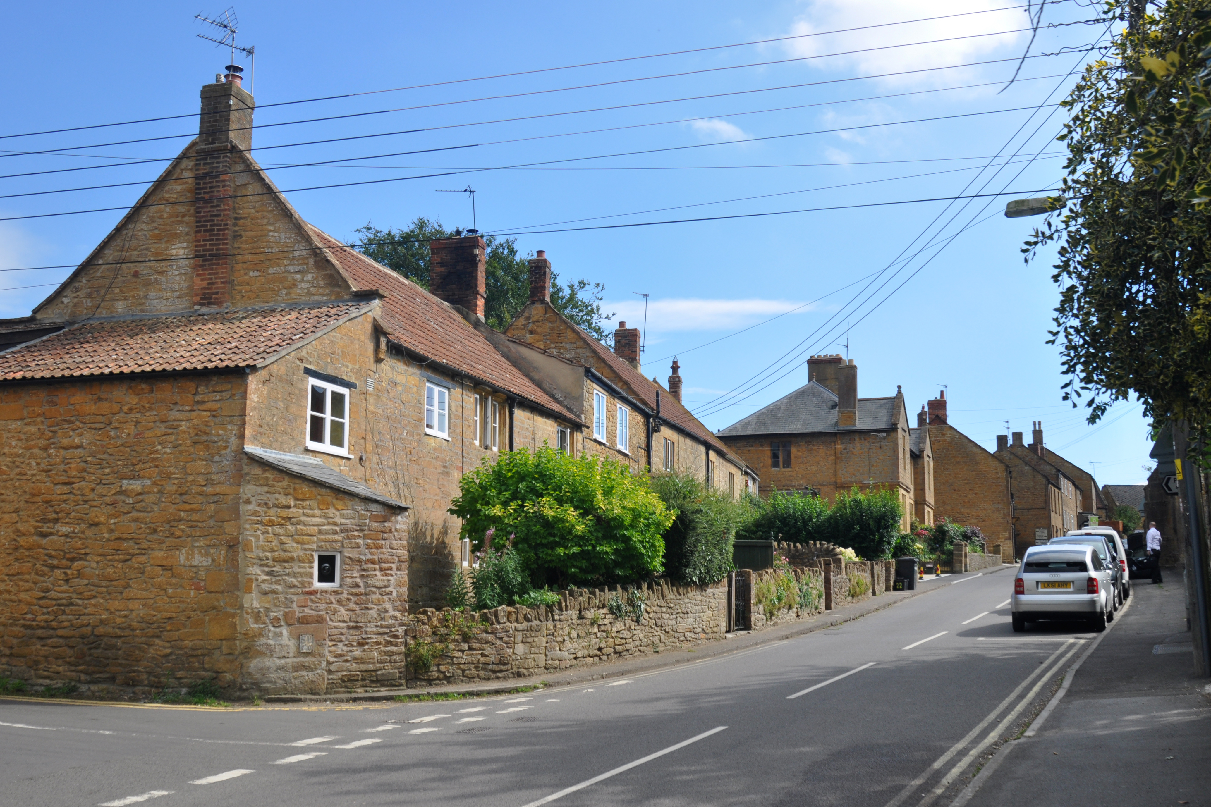
West End Images

Images are sourced within 2km of 50.949808/-2.7594129 or Grid Reference ST4616. Thanks to Geograph Open Source API. All images are credited.

Stoke-sub-Hamdon An evening view of Ham Hill from North St in Stoke sub Hamdon - note the old sign with alternative name for the village
Stoke-sub-Hamdon
An evening view of Ham Hill from North St in Stoke sub Hamdon - note the old sign with alternative name for the village
Martock Brooks Garage, on the outskirts of Martock.
Martock
Brooks Garage, on the outskirts of Martock.
The Prince of Wales public house, Ham Hill, Somerset The appropriately-named Prince of Wales pub lies within Duchy of Cornwall land on top of Ham Hill, near Yeovil.
The Prince of Wales public house, Ham Hill, Somerset
The appropriately-named Prince of Wales pub lies within Duchy of Cornwall land on top of Ham Hill, near Yeovil.
NORTON-SUB-HAMDON, Somerset The stunningly beautiful church of St Mary
NORTON-SUB-HAMDON, Somerset
The stunningly beautiful church of St Mary
Stoke Sub Hamdon, Somerset Also known as Stoke under Ham, the parish church of St Mary is well away from its main centre on the road to Montacute.
Stoke Sub Hamdon, Somerset
Also known as Stoke under Ham, the parish church of St Mary is well away from its main centre on the road to Montacute.
Old quarry spoil heaps at Ham Hill Country Park Centuries of quarrying the golden "Ham" stone from Ham Hill has left behind this landscape of lumps and bumps, now part of the Ham Hill Country Park. Signs request that visitors on bikes should keep to the waymarked paths, but the erosion on these grassed-over spoil heaps shows that not everyone can resist the temptation.
Old quarry spoil heaps at Ham Hill Country Park
Centuries of quarrying the golden "Ham" stone from Ham Hill has left behind this landscape of lumps and bumps, now part of the Ham Hill Country Park. Signs request that visitors on bikes should keep to the waymarked paths, but the erosion on these grassed-over spoil heaps shows that not everyone can resist the temptation.
Quarrying at the northern end of Hamdon Hill This shows the quarry workings at the northern end of Hamdon Hill, within the Hamdon Hill Country Park. The interior of this part of the hill has been scooped out by many centuries of quarrying (some dating back to the Iron Age) and although this part of the hill is dedicated to conservation and recreation, limited permission has been given to allow some quarrying; this is supposed to meet demand for the characteristic stone, as well as improve the safety and appearance of this part of the hill.
Quarrying at the northern end of Hamdon Hill
This shows the quarry workings at the northern end of Hamdon Hill, within the Hamdon Hill Country Park. The interior of this part of the hill has been scooped out by many centuries of quarrying (some dating back to the Iron Age) and although this part of the hill is dedicated to conservation and recreation, limited permission has been given to allow some quarrying; this is supposed to meet demand for the characteristic stone, as well as improve the safety and appearance of this part of the hill.
Stoke-sub-Hamdon war memorial, Hamdon Hill Looking east from the highest point of Hamdon Hill (on top of the inner rampart of the hillfort) towards the Norton-sub-Hamdon war memorial. This is a very blustery spot in an exposed location, with very wide views over the south Somerset countryside. The war memorial is a prominent landmark.
Stoke-sub-Hamdon war memorial, Hamdon Hill
Looking east from the highest point of Hamdon Hill (on top of the inner rampart of the hillfort) towards the Norton-sub-Hamdon war memorial. This is a very blustery spot in an exposed location, with very wide views over the south Somerset countryside. The war memorial is a prominent landmark.
Gate into a field on Butcher's Hill The southeastern part of the massive Hamdon hillfort is known as Butcher's Hill, this view is of a field to the south of the road that runs through the interior of the hillfort. The area is popular with dog-walkers, and the various signs on this gate warn about sheep worrying and the possible consequences of not cleaning up after your dog.
Gate into a field on Butcher's Hill
The southeastern part of the massive Hamdon hillfort is known as Butcher's Hill, this view is of a field to the south of the road that runs through the interior of the hillfort. The area is popular with dog-walkers, and the various signs on this gate warn about sheep worrying and the possible consequences of not cleaning up after your dog.
Holy Tree Cross The Holy Tree stands at the cross roads on the old main road just outside Stoke-Sub-Hamdon, now bypassed by the A303. Branches on the far side of trunk probably fall within adjacent grid square.
Holy Tree Cross
The Holy Tree stands at the cross roads on the old main road just outside Stoke-Sub-Hamdon, now bypassed by the A303. Branches on the far side of trunk probably fall within adjacent grid square.
Bridge Farm, Drayton, Somerset – view NE from the public footpath.
Bridge Farm, Drayton, Somerset
– view NE from the public footpath.
Entrance to Stoke-sub-Hamdon village, Somerset – view E towards West End.
Entrance to Stoke-sub-Hamdon village, Somerset
– view E towards West End.
Blackcurrant fields in winter, Stoke-sub-Hamdon, Somerset – view N over the Small Moor Brook valley.
Blackcurrant fields in winter, Stoke-sub-Hamdon, Somerset
– view N over the Small Moor Brook valley.
Parish church, Norton-sub-Hamdon, Somerset dedicated to St Mary the Virgin <span class="nowrap"><a title="http://www.nortonchurch.org.uk/guide1.asp" rel="nofollow ugc noopener" href="http://www.nortonchurch.org.uk/guide1.asp">Link</a><img style="margin-left:2px;" alt="External link" title="External link - shift click to open in new window" src="https://s1.geograph.org.uk/img/external.png" width="10" height="10"/></span> ; view N from Church Lane.
Parish church, Norton-sub-Hamdon, Somerset
dedicated to St Mary the Virgin LinkExternal link ; view N from Church Lane.
Cottages on Great Street, Norton-sub-Hamdon, Somerset – view S from Church Lane.
Cottages on Great Street, Norton-sub-Hamdon, Somerset
– view S from Church Lane.
Ham or Hamdon Hill Country Park, Stoke-sub-Hamdon, Somerset – view E from near the Norton Road.
Ham or Hamdon Hill Country Park, Stoke-sub-Hamdon, Somerset
– view E from near the Norton Road.
Modern Art Ham Hill Country Park
Show me another place!

West End is located at Grid Ref: ST4616 (Lat: 50.949808, Lng: -2.7594129)

Administrative County: Somerset

District: South Somerset

Police Authority: Avon and Somerset

What 3 Words

///branched.lousy.climbing. Near Stoke-sub-Hamdon, Somerset

Nearby Locations

West End

Related Wikis

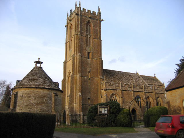
United Reformed Church, Stoke-sub-Hamdon

The United Reformed Church is a former United Reformed church in Stoke-sub-Hamdon, Somerset, England. It was built in 1865-66 and closed for religious...

Stanchester Academy

Stanchester Academy, formerly Stanchester Community School, is an academy for children between the ages of 11 and 16 in Stoke-sub-Hamdon, Somerset, England...

Stoke-sub-Hamdon

Stoke-sub-Hamdon (or Stoke sub Hamdon), also known as Stoke under Ham, is a large village and civil parish in the South Somerset district of Somerset,...

Stoke sub Hamdon Priory

Stoke sub Hamdon Priory is a complex of buildings and ruins which initially formed a 14th-century college for the chantry chapel of St Nicholas, and later...

Nearby Amenities

Located within 500m of 50.949808,-2.7594129
Barrier: stile
Lat/Long: 50.9522243/-2.7615766
Noexit: yes
Lat/Long: 50.9490825/-2.7578554
Noexit: yes
Lat/Long: 50.9487703/-2.7590033
The data included in this document is from www.openstreetmap.org. The data is made available under ODbL.

Have you been to West End?

Leave your review of West End below (or comments, questions and feedback).