Wescoe

Settlement in Cumberland Eden

England

Wescoe

Letterbox at Wescoe
Letterbox at Wescoe Credit: Raymond Knapman

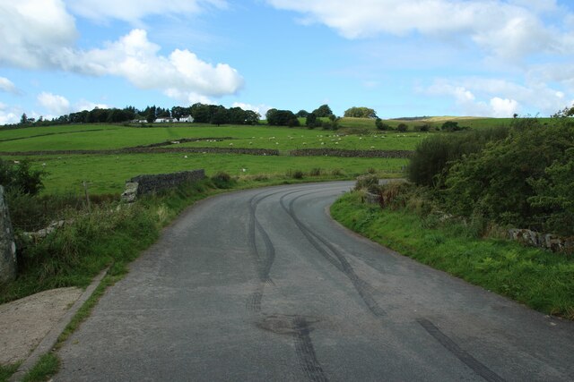
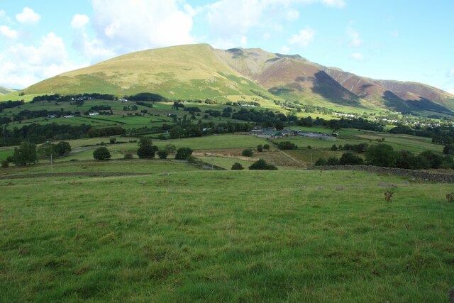
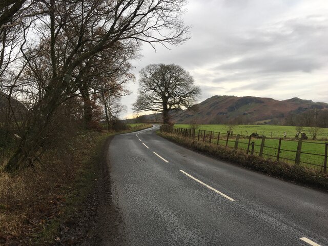
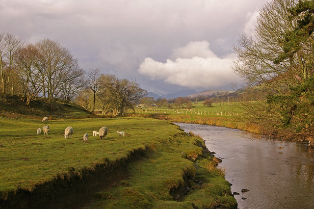
Wescoe is a small, picturesque village located in the historic county of Cumberland, in the northwest of England. Situated amidst the stunning landscapes of the Lake District National Park, Wescoe boasts a population of around 500 residents. The village is nestled between rolling hills and lush green meadows, offering breathtaking views of the surrounding countryside.

The architecture in Wescoe reflects its rich history, with many houses and buildings dating back several centuries. The village center features a charming medieval church, St. Mary's, which stands as a testament to the area's religious heritage. Additionally, Wescoe is home to a handful of traditional pubs and local shops, providing a sense of community for both residents and visitors.

Nature lovers are drawn to Wescoe for its proximity to the Lake District, renowned for its stunning lakes, rugged mountains, and extensive trails for hiking and cycling. The village is an ideal base for outdoor activities, with numerous opportunities for exploring the nearby fells and valleys.

Despite its small size, Wescoe hosts several annual events that attract visitors from near and far. The Wescoe Summer Festival, held in July, showcases local talent, crafts, and cuisine, creating a vibrant atmosphere in the heart of the village. The Christmas Market in December brings festive cheer to the community, with stalls selling handmade gifts and seasonal treats.

Wescoe's idyllic setting, rich history, and close proximity to the natural wonders of the Lake District make it a charming destination for those seeking tranquility, outdoor adventures, and a taste of rural English life.

If you have any feedback on the listing, please let us know in the comments section below.
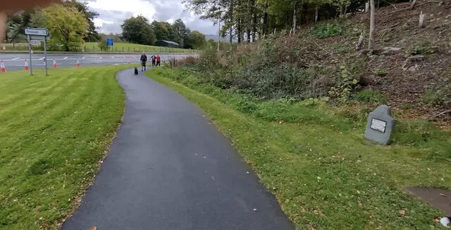
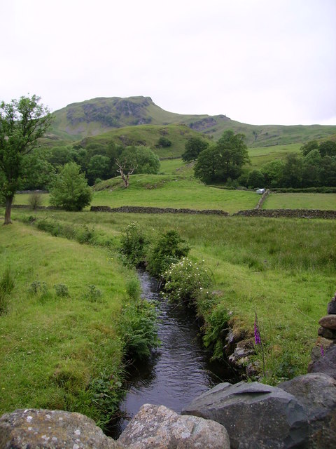
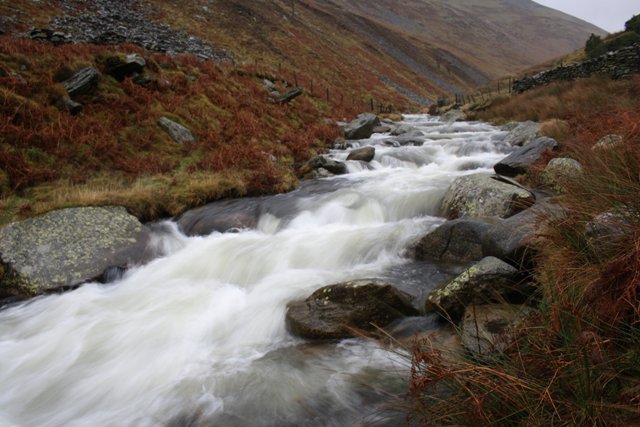
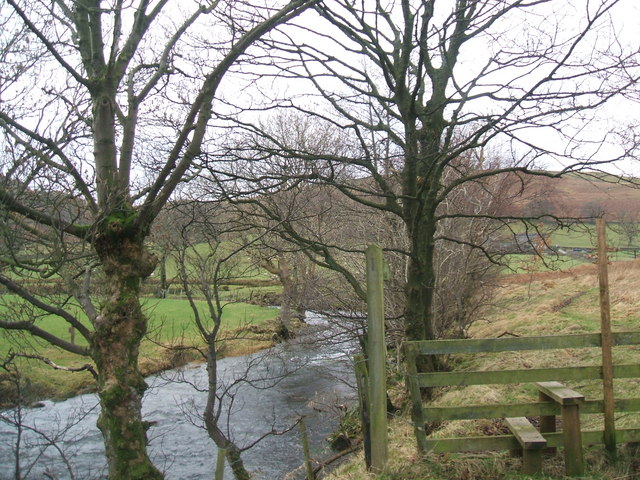
Wescoe Images

Images are sourced within 2km of 54.615006/-3.0788271 or Grid Reference NY3024. Thanks to Geograph Open Source API. All images are credited.

Letterbox at Wescoe
Letterbox at Wescoe
Wescoe Farm
Wescoe Farm
Bridge over the River Greta on the Keswick Railway Trail
Benchmark on Railway Bridge near Threlkeld Benchmark description <span class="nowrap"><a title="https://www.bench-marks.org.uk/bm171401" rel="nofollow ugc noopener" href="https://www.bench-marks.org.uk/bm171401">Link</a><img style="margin-left:2px;" alt="External link" title="External link - shift click to open in new window" src="https://s1.geograph.org.uk/img/external.png" width="10" height="10"/></span>
Benchmark on Railway Bridge near Threlkeld
Benchmark description LinkExternal link
Pivot Benchmark Downfield Bridge near Threlkeld Benchmark description <span class="nowrap"><a title="https://www.bench-marks.org.uk/bm171400" rel="nofollow ugc noopener" href="https://www.bench-marks.org.uk/bm171400">Link</a><img style="margin-left:2px;" alt="External link" title="External link - shift click to open in new window" src="https://s1.geograph.org.uk/img/external.png" width="10" height="10"/></span>
Pivot Benchmark Downfield Bridge near Threlkeld
Benchmark description LinkExternal link
Naddle Bridge Naddle Bridge carries a minor road over Naddle Beck.
Naddle Bridge
Naddle Bridge carries a minor road over Naddle Beck.
Grassland north of Tewet Tarn The grassy green landscape to the north of Tewet Tarn.
Grassland north of Tewet Tarn
The grassy green landscape to the north of Tewet Tarn.
Path towards Tewet Tarn A footpath crosses grassland towards the eastern side of Tewet Tarn.
Path towards Tewet Tarn
A footpath crosses grassland towards the eastern side of Tewet Tarn.
Tewet Tarn Looking towards Tewet Tarn from the footpath that passes close to its eastern side.
Tewet Tarn
Looking towards Tewet Tarn from the footpath that passes close to its eastern side.
Grassland north of Low Rigg A footpath traverses the undulating grassland to the north of Low Rigg.
Grassland north of Low Rigg
A footpath traverses the undulating grassland to the north of Low Rigg.
B5322 near Threlkeld
Direction Sign – Signpost at the west end of Threlkeld Located on the grassy island in the junction at the west end of the village. Threlkeld parish. 1 arm and missing finial. Refurbished since this photo <a title="https://www.geograph.org.uk/photo/6050194" href="https://www.geograph.org.uk/photo/6050194">Link</a>.

Milestone Society National ID: CU_NY3125
Direction Sign – Signpost at the west end of Threlkeld
Located on the grassy island in the junction at the west end of the village. Threlkeld parish. 1 arm and missing finial. Refurbished since this photo Link. Milestone Society National ID: CU_NY3125
Old Milestone by the former A66, south west of Threlkeld Metal plate attached to stone post by the UC road (was A66), in parish of THRELKELD (EDEN District), West Threlkeld, A66 junction West of road to village, back of wide grass verge, on North side of road. Keswick iron plate, erected by the Keswick turnpike trust in the 19th century. 

Inscription reads:-
PENRITH
14 MILES
KESWICK
4 MILES {small arrow} 

Milestone Society National ID: CU_PRKW14.
Old Milestone by the former A66, south west of Threlkeld
Metal plate attached to stone post by the UC road (was A66), in parish of THRELKELD (EDEN District), West Threlkeld, A66 junction West of road to village, back of wide grass verge, on North side of road. Keswick iron plate, erected by the Keswick turnpike trust in the 19th century. Inscription reads:- PENRITH 14 MILES KESWICK 4 MILES {small arrow} Milestone Society National ID: CU_PRKW14.
Threlkeld
Threlkeld
Church of St Mary The current Church dates from 1776, although the bell tower is older and there is evidence of Christian worship on the site from the pre-Norman era commonly called the “Dark Ages”. Much of the Church interior was refurbished in 1911 while the stunning east window dates from the 1950s and was donated by Captain Aspall Olsen in memory of his wife.
In 1998, the parish of St Mary’s was combined with St John’s in the Vale and Wythburn to form a joint benefice.
While there is currently no published Guide Book, the history of St Mary’s can be found on the Church web site at: <span class="nowrap"><a title="http://www.threlkeldchurch.org.uk/" rel="nofollow ugc noopener" href="http://www.threlkeldchurch.org.uk/">Link</a><img style="margin-left:2px;" alt="External link" title="External link - shift click to open in new window" src="https://s1.geograph.org.uk/img/external.png" width="10" height="10"/></span> Visitor donations are welcome.
Church of St Mary
The current Church dates from 1776, although the bell tower is older and there is evidence of Christian worship on the site from the pre-Norman era commonly called the “Dark Ages”. Much of the Church interior was refurbished in 1911 while the stunning east window dates from the 1950s and was donated by Captain Aspall Olsen in memory of his wife. In 1998, the parish of St Mary’s was combined with St John’s in the Vale and Wythburn to form a joint benefice. While there is currently no published Guide Book, the history of St Mary’s can be found on the Church web site at: LinkExternal link Visitor donations are welcome.
Field, Threlkeld
Field, Threlkeld
Station Rd
Station Rd
Houses, Spring Close
Show me another place!

Wescoe is located at Grid Ref: NY3024 (Lat: 54.615006, Lng: -3.0788271)

Administrative County: Cumbria

District: Eden

Police Authority: Cumbria

What 3 Words

///newsprint.easily.expiring. Near Keswick, Cumbria

Related Wikis

Naddle Beck

Naddle Beck is a minor river of Cumbria, England. Rising beneath Dodd Crag, Naddle Beck flows northward to meet the River Greta. The major tributary of...

Glenderaterra Beck

Glenderaterra Beck is a watercourse in the county of Cumbria, England. The length of the Glenderaterra, and its major tributary Whit Beck is 4.8 miles...

St. John's Beck

St. John's Beck is a river in the Lake District of Cumbria, England. The beck has its beginning as an outflow of Thirlmere, whence it flows northwards...

River Glenderamackin

The River Glenderamackin, the Glendermackin or Glendermackin Beck is a watercourse in Cumbria, England. It is a headstream of the Greta. The river rises...

Nearby Amenities

Located within 500m of 54.615006,-3.0788271
Wescoe
Place: hamlet
Lat/Long: 54.6155678/-3.0796689
Barrier: kissing_gate
Bicycle: yes
Foot: yes
Lat/Long: 54.6150499/-3.0784031
Post Box
Colour: red
Drive Through: no
Operator: Royal Mail
Operator Wikidata: Q638098
Post Box Type: wall
Ref: CA12 272
Lat/Long: 54.6159951/-3.080862
Power: pole
Lat/Long: 54.6186332/-3.083403
Power: pole
Lat/Long: 54.6179441/-3.0835445
Power: pole
Lat/Long: 54.617224/-3.0837053
Power: pole
Lat/Long: 54.6164987/-3.0837277
Power: pole
Lat/Long: 54.6157716/-3.0837381
Power: pole
Lat/Long: 54.6152861/-3.0823738
Power: pole
Lat/Long: 54.6155224/-3.0809901
Power: pole
Lat/Long: 54.61592/-3.0741551
Power: pole
Lat/Long: 54.6167626/-3.0733344
Power: pole
Lat/Long: 54.6175535/-3.0725778
The data included in this document is from www.openstreetmap.org. The data is made available under ODbL.

Have you been to Wescoe?

Leave your review of Wescoe below (or comments, questions and feedback).