Washwell

Settlement in Wiltshire

England

Washwell

St Thomas à Becket, Box: January 2024 For more about the church see <span class="nowrap"><a title="https://en.wikipedia.org/wiki/Church_of_St_Thomas_%C3%A0_Becket,_Box" rel="nofollow ugc noopener" href="https://en.wikipedia.org/wiki/Church_of_St_Thomas_%C3%A0_Becket,_Box">Link</a><img style="margin-left:2px;" alt="External link" title="External link - shift click to open in new window" src="https://s1.geograph.org.uk/img/external.png" width="10" height="10"/></span>
St Thomas à Becket, Box: January 2024 Credit: Basher Eyre

Washwell is a small village located in the county of Wiltshire, England. Situated in the south-west region of the country, it falls within the administrative district of West Wiltshire. With a population of around 500 residents, it is considered a close-knit community with a peaceful and picturesque setting.

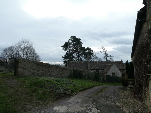
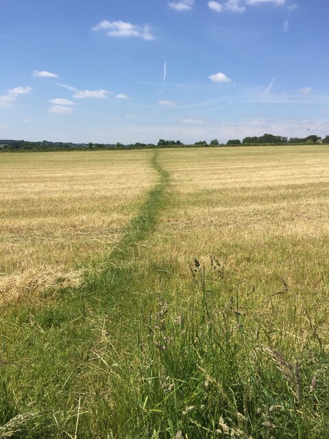
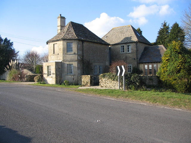
The village is nestled in a rural area, surrounded by rolling green hills and vast open farmland. It is characterized by its charming thatched-roof cottages, which are a testament to its rich history and traditional architecture. Washwell has a tranquil and idyllic atmosphere, making it an attractive destination for those seeking a retreat from the hustle and bustle of city life.

Despite its small size, Washwell has a few amenities to offer its residents. There is a local pub, The Washwell Arms, which serves as a social hub for the community. Additionally, the village has a primary school, providing education for the local children. For further amenities such as shopping and healthcare, residents typically rely on nearby towns and cities, such as Trowbridge or Bath, which are easily accessible by car.

The surrounding countryside provides ample opportunities for outdoor activities, including hiking, cycling, and horseback riding. Washwell is also within close proximity to several historical landmarks and attractions, such as Stonehenge and Longleat Safari Park, which draw visitors from far and wide.

Overall, Washwell offers a peaceful and scenic retreat for its residents, complete with traditional charm and a strong sense of community.

If you have any feedback on the listing, please let us know in the comments section below.
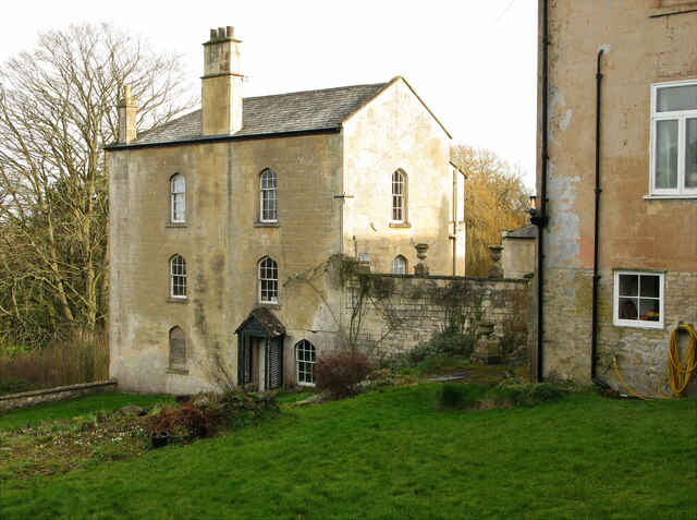
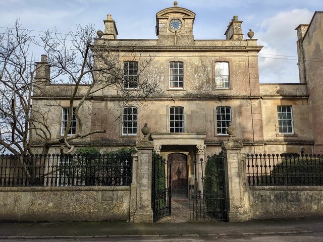
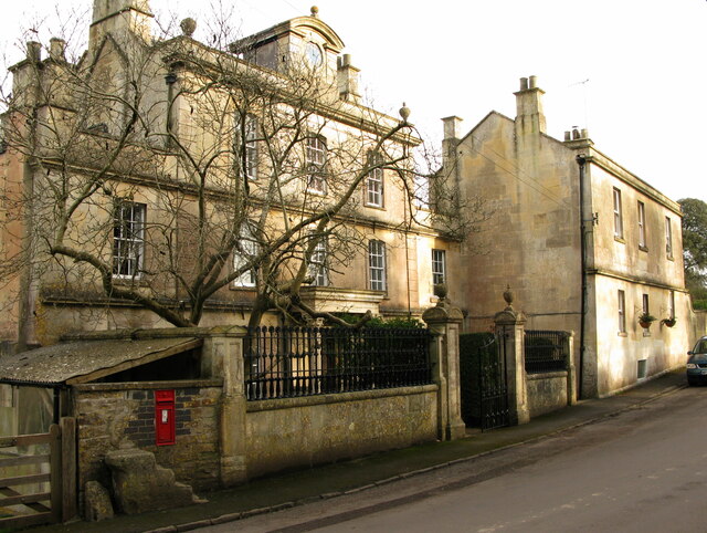
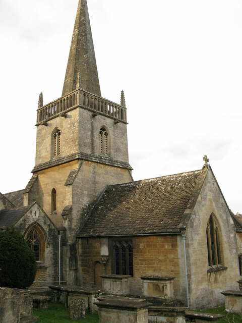
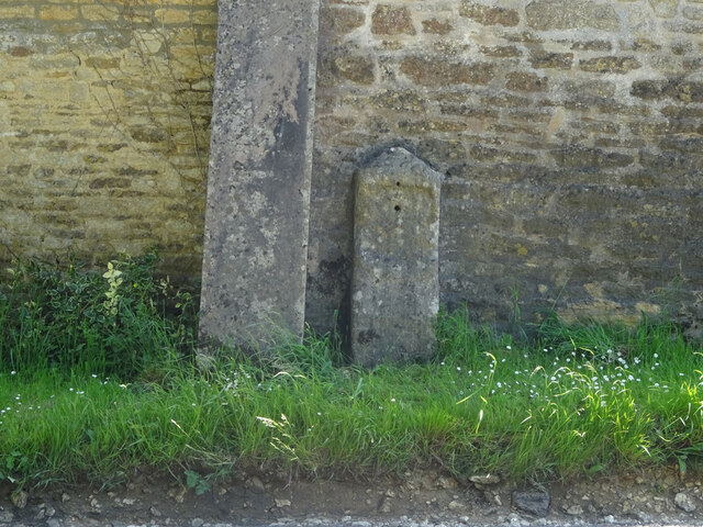
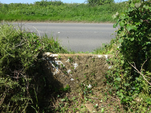
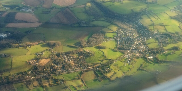
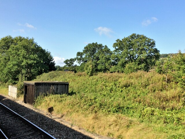
Washwell Images

Images are sourced within 2km of 51.409539/-2.250871 or Grid Reference ST8267. Thanks to Geograph Open Source API. All images are credited.

St Thomas à Becket, Box: January 2024 For more about the church see <span class="nowrap"><a title="https://en.wikipedia.org/wiki/Church_of_St_Thomas_%C3%A0_Becket,_Box" rel="nofollow ugc noopener" href="https://en.wikipedia.org/wiki/Church_of_St_Thomas_%C3%A0_Becket,_Box">Link</a><img style="margin-left:2px;" alt="External link" title="External link - shift click to open in new window" src="https://s1.geograph.org.uk/img/external.png" width="10" height="10"/></span>
St Thomas à Becket, Box: January 2024
For more about the church see LinkExternal link
St James, Ditteridge: January 2024
Wadswick Trig Point Flush Bracket S2486
A well worn path
A well worn path
Ashley Garage This Shell service station <span class="nowrap"><a title="https://find.shell.com/gb/fuel/12449960-ashley-garage" rel="nofollow ugc noopener" href="https://find.shell.com/gb/fuel/12449960-ashley-garage">Link</a><img style="margin-left:2px;" alt="External link" title="External link - shift click to open in new window" src="https://s1.geograph.org.uk/img/external.png" width="10" height="10"/></span> stands on the A4 a little west of Box.  As with all petrol stations in the Bath area, the price of fuel is rather high compared with the going rate in nearby Bristol and Chippenham, which is where canny Bathonians tend to fill up.
Ashley Garage
This Shell service station LinkExternal link stands on the A4 a little west of Box. As with all petrol stations in the Bath area, the price of fuel is rather high compared with the going rate in nearby Bristol and Chippenham, which is where canny Bathonians tend to fill up.
Cemetery Chapel, Box
3 Kingsdown House, Kingsdown, Box Grade II listed early 19th-century house
<span class="nowrap"><a title="https://historicengland.org.uk/listing/the-list/list-entry/1022797" rel="nofollow ugc noopener" href="https://historicengland.org.uk/listing/the-list/list-entry/1022797">Link</a><img style="margin-left:2px;" alt="External link" title="External link - shift click to open in new window" src="https://s1.geograph.org.uk/img/external.png" width="10" height="10"/></span>

From the listing: Built as part of the extensions to the private asylum at Kingsdown House, possibly as a doctor's residence.
3 Kingsdown House, Kingsdown, Box
Grade II listed early 19th-century house LinkExternal link From the listing: Built as part of the extensions to the private asylum at Kingsdown House, possibly as a doctor's residence.
1 Kingsdown House, Kingsdown, Box Grade II listed former lunatic asylum, now house, early 18th century with Victorian embellishment.
<span class="nowrap"><a title="https://historicengland.org.uk/listing/the-list/list-entry/1181591" rel="nofollow ugc noopener" href="https://historicengland.org.uk/listing/the-list/list-entry/1181591">Link</a><img style="margin-left:2px;" alt="External link" title="External link - shift click to open in new window" src="https://s1.geograph.org.uk/img/external.png" width="10" height="10"/></span>

Gate piers and railings, early 19th, also listed.
<span class="nowrap"><a title="https://historicengland.org.uk/listing/the-list/list-entry/1363625" rel="nofollow ugc noopener" href="https://historicengland.org.uk/listing/the-list/list-entry/1363625">Link</a><img style="margin-left:2px;" alt="External link" title="External link - shift click to open in new window" src="https://s1.geograph.org.uk/img/external.png" width="10" height="10"/></span>
1 Kingsdown House, Kingsdown, Box
Grade II listed former lunatic asylum, now house, early 18th century with Victorian embellishment. LinkExternal link Gate piers and railings, early 19th, also listed. LinkExternal link
1 and 2 Kingsdown House, Kingsdown, Box Grade II listed former lunatic asylum, now houses, early 18th century with Victorian embellishment.
<span class="nowrap"><a title="https://historicengland.org.uk/listing/the-list/list-entry/1181591" rel="nofollow ugc noopener" href="https://historicengland.org.uk/listing/the-list/list-entry/1181591">Link</a><img style="margin-left:2px;" alt="External link" title="External link - shift click to open in new window" src="https://s1.geograph.org.uk/img/external.png" width="10" height="10"/></span>

No.1 (left) early 18th century, No. 2 19th century.
1 and 2 Kingsdown House, Kingsdown, Box
Grade II listed former lunatic asylum, now houses, early 18th century with Victorian embellishment. LinkExternal link No.1 (left) early 18th century, No. 2 19th century.
St Thomas a Becket church, Box, from SE Parish church of Box, Wiltshire. Grade I listed.
<span class="nowrap"><a title="https://historicengland.org.uk/listing/the-list/list-entry/1180500" rel="nofollow ugc noopener" href="https://historicengland.org.uk/listing/the-list/list-entry/1180500">Link</a><img style="margin-left:2px;" alt="External link" title="External link - shift click to open in new window" src="https://s1.geograph.org.uk/img/external.png" width="10" height="10"/></span>
St Thomas a Becket church, Box, from SE
Parish church of Box, Wiltshire. Grade I listed. LinkExternal link
Old Milestone, Box Against the barn wall adjacent to a stone buttress. On a grass verge, a foot above the road level. There are two nearby milestones, a missing one to the West, by <a href="https://www.geograph.org.uk/photo/6114503">ST8367 : Old Toll House by Kingsdown Road, Blue Vein</a> would have indicated Bath 6, while to the East <a href="https://www.geograph.org.uk/photo/6061000">ST8367 : Old Milestone by the A365, Devizes Road, Box Fiveways</a> it was Bath 7. This may indicate this milestone was abandoned quite early on, or the 1899 map was in error. A fourth <a href="https://www.geograph.org.uk/photo/6114871">ST8367 : Old Milestone by the A365, Devizes Road, Box</a> to the NE would have said Bath 7.

Inscription (was): Bath 7

Milestone Society National ID: WI_LB_BABH07
Old Milestone, Box
Against the barn wall adjacent to a stone buttress. On a grass verge, a foot above the road level. There are two nearby milestones, a missing one to the West, by ST8367 : Old Toll House by Kingsdown Road, Blue Vein would have indicated Bath 6, while to the East ST8367 : Old Milestone by the A365, Devizes Road, Box Fiveways it was Bath 7. This may indicate this milestone was abandoned quite early on, or the 1899 map was in error. A fourth ST8367 : Old Milestone by the A365, Devizes Road, Box to the NE would have said Bath 7. Inscription (was): Bath 7 Milestone Society National ID: WI_LB_BABH07
Stone Stile, Lower Wadswick On the north side of the A365, on Wiltshire footpath Box58. Looking from the road, the view looking South is <a href="https://www.geograph.org.uk/photo/7188519">ST8467 : Stone Stile, Lower Wadswick</a>.
Stone Stile, Lower Wadswick
On the north side of the A365, on Wiltshire footpath Box58. Looking from the road, the view looking South is ST8467 : Stone Stile, Lower Wadswick.
Stone Stile, Lower Wadswick On the north side of the A365, on Wiltshire footpath Box58. Looking to the road, the view looking North is <a href="https://www.geograph.org.uk/photo/7188517">ST8467 : Stone Stile, Lower Wadswick</a>.
Stone Stile, Lower Wadswick
On the north side of the A365, on Wiltshire footpath Box58. Looking to the road, the view looking North is ST8467 : Stone Stile, Lower Wadswick.
Stone Stile, Lower Wadswick On Wiltshire footpath BOX58, looking North to the A365. The view from the road is <a href="https://www.geograph.org.uk/photo/7188529">ST8467 : Stone Stile, Lower Wadswick</a>.
Stone Stile, Lower Wadswick
On Wiltshire footpath BOX58, looking North to the A365. The view from the road is ST8467 : Stone Stile, Lower Wadswick.
Stone Stile, Lower Wadswick On Wiltshire footpath BOX58, looking South from the A365. The view looking to the road is <a href="https://www.geograph.org.uk/photo/7188528">ST8467 : Stone Stile, Lower Wadswick</a>.
Stone Stile, Lower Wadswick
On Wiltshire footpath BOX58, looking South from the A365. The view looking to the road is ST8467 : Stone Stile, Lower Wadswick.
Box from the air The main railway line crosses the right side of the image horizontally and then abruptly disappears into the Box Tunnel before reaching the central wood. Below is the A4.
Box from the air
The main railway line crosses the right side of the image horizontally and then abruptly disappears into the Box Tunnel before reaching the central wood. Below is the A4.
From a Swindon-Bristol train, lineside shed near Shockerwick
Bancey Bathrooms at Ashley
Show me another place!

Washwell is located at Grid Ref: ST8267 (Lat: 51.409539, Lng: -2.250871)

Unitary Authority: Wiltshire

Police Authority: Wiltshire

What 3 Words

///cooks.puts.array. Near Box, Wiltshire

Related Wikis

Box, Wiltshire

Box is a large village and civil parish within the Cotswolds Area of Outstanding Natural Beauty in Wiltshire, England, about 3 miles (5 km) west of Corsham...

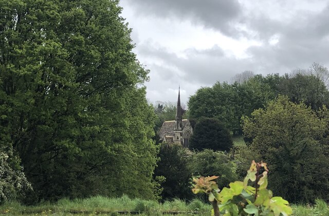
Church of St Thomas à Becket, Box

The Church of St. Thomas à Becket is the Church of England parish church of Box, Wiltshire, in south-west England. It is one of a number of churches named...

Box Primary School

Box Primary School, also known as Box Church of England Primary School, is a state-run primary school in Box, Wiltshire, England. The current headteacher...

Blue Vein

Blue Vein is a hamlet about 1 mile (1.6 km) south of Box, Wiltshire, England.Originally a farm, it lies on what was once the principal road between Bath...

Related Videos

box woods and mine entrances

Made with Film Maker https://play.google.com/store/apps/details?id=com.cerdillac.filmmaker music by audionautix.com.

Landing at Wadswick 28

Landing at Wadswick Wadswick Country Store Robin Robin DR400160 DR400 160 Dr400 Wadswick Airfield Wadswick Airstrip ...

Nearby Amenities

Located within 500m of 51.409539,-2.250871
Post Box
Post Box Type: wall
Royal Cypher: GVIR
Royal Cypher Wikidata: Q33102169
Lat/Long: 51.4087681/-2.2520686
Barrier: stile
Lat/Long: 51.4087342/-2.248729
Henley
Place: hamlet
Lat/Long: 51.4082842/-2.2526506
Barrier: stile
Lat/Long: 51.4115009/-2.2475521
Barrier: stile
Lat/Long: 51.4113537/-2.2467689
Barrier: stile
Lat/Long: 51.4115244/-2.2463988
Barrier: stile
Lat/Long: 51.4127523/-2.2490649
Barrier: stile
Lat/Long: 51.4124186/-2.2537208
Barrier: stile
Lat/Long: 51.4090526/-2.2520149
Barrier: stile
Lat/Long: 51.4075597/-2.2485306
The data included in this document is from www.openstreetmap.org. The data is made available under ODbL.

Have you been to Washwell?

Leave your review of Washwell below (or comments, questions and feedback).