Valleyfield
Settlement in Midlothian
Scotland
Valleyfield
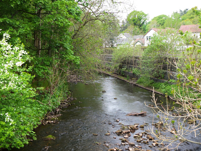
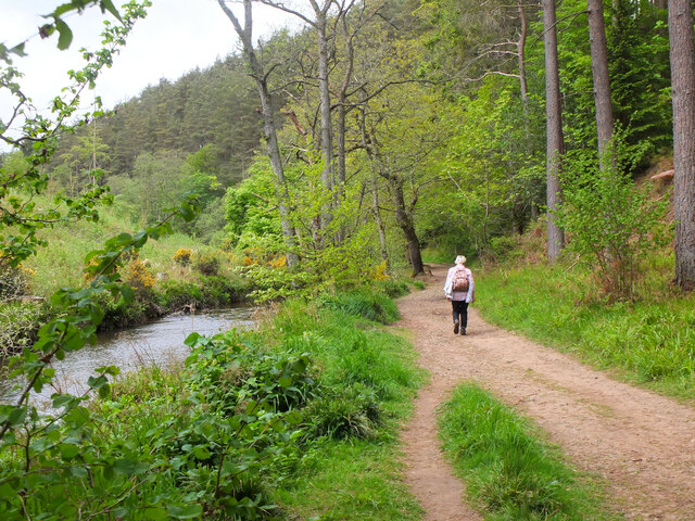
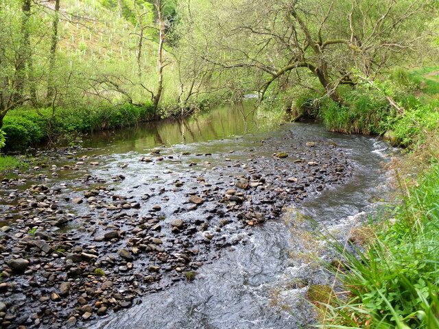
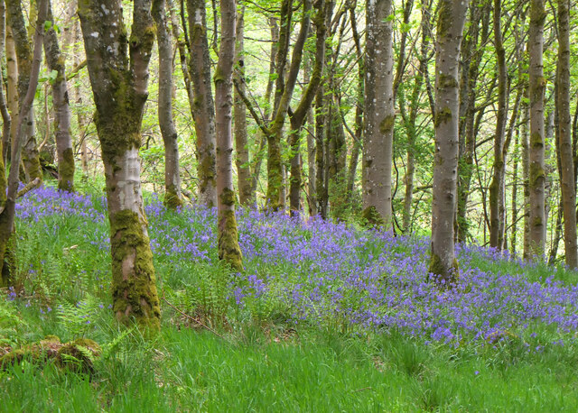
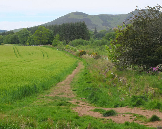
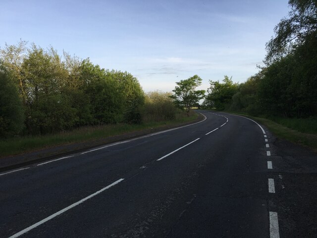
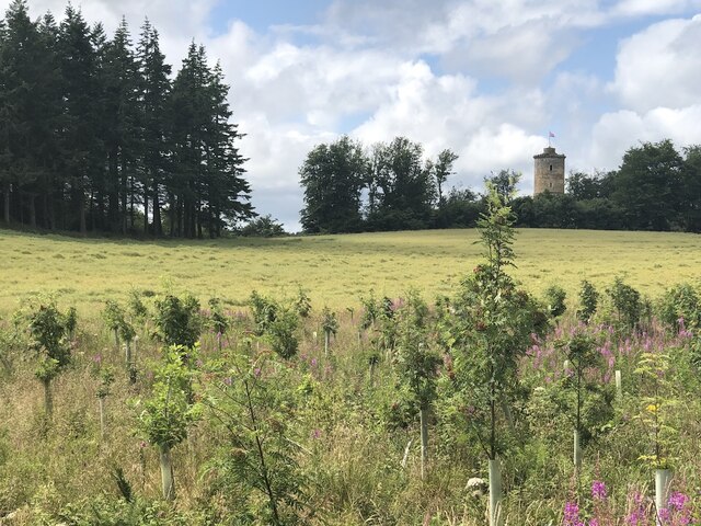
Valleyfield is a small village located in the county of Midlothian, Scotland. Situated approximately 12 miles southwest of Edinburgh, it lies on the A703 road, which connects the village to nearby towns such as Penicuik and Peebles. Valleyfield is nestled within the picturesque Pentland Hills, providing residents and visitors with stunning views and ample opportunities for outdoor activities.
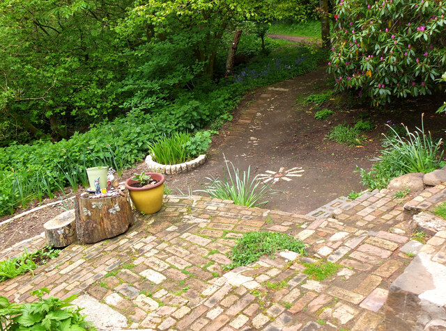
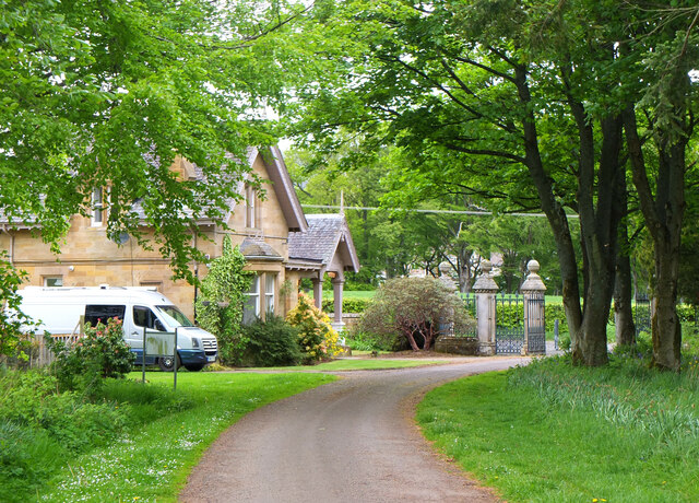
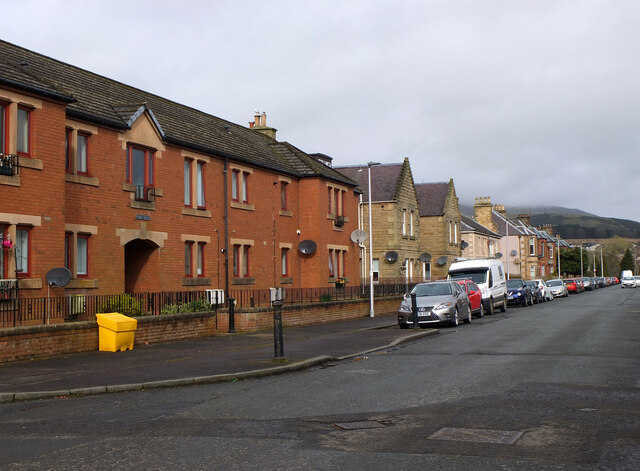
The village boasts a rich history, with evidence of human settlement dating back to the Iron Age. Today, Valleyfield remains a peaceful and close-knit community, offering a tranquil escape from the bustling city life of Edinburgh. The village is predominantly residential, with a mix of traditional stone cottages and modern homes.
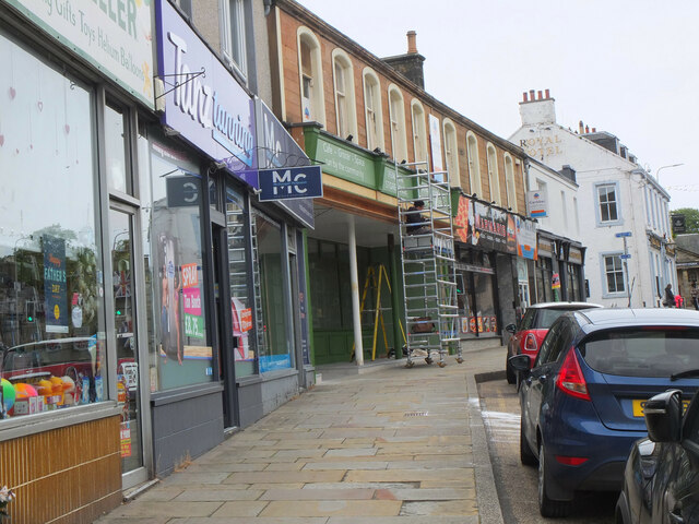
Despite its small size, Valleyfield is well-served by amenities and services. The village has a primary school, ensuring that local children have access to quality education within their community. Additionally, there are a few local shops and businesses, including a convenience store and a post office, catering to the daily needs of residents.
For those seeking recreational activities, Valleyfield has a community center that hosts various events and activities throughout the year. The surrounding countryside is also ideal for outdoor enthusiasts, with numerous walking and cycling trails that showcase the natural beauty of the area.
In conclusion, Valleyfield is a charming village in Midlothian, Scotland, offering a peaceful and scenic environment for residents and visitors alike. With its rich history, stunning landscapes, and close proximity to Edinburgh, Valleyfield is a desirable place to call home.
If you have any feedback on the listing, please let us know in the comments section below.
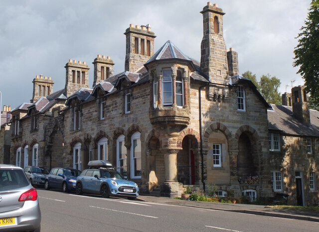
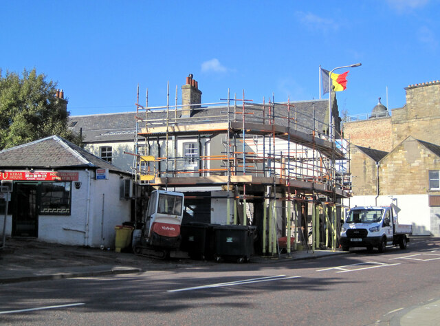
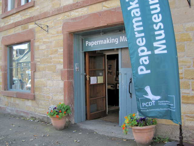
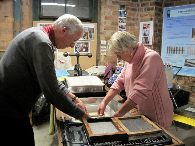
Valleyfield Images
Images are sourced within 2km of 55.825385/-3.2171398 or Grid Reference NT2359. Thanks to Geograph Open Source API. All images are credited.
Valleyfield is located at Grid Ref: NT2359 (Lat: 55.825385, Lng: -3.2171398)
Unitary Authority: Midlothian
Police Authority: The Lothians and Scottish Borders
What 3 Words
///wolves.gear.vitamins. Near Penicuik, Midlothian
Nearby Locations
Related Wikis

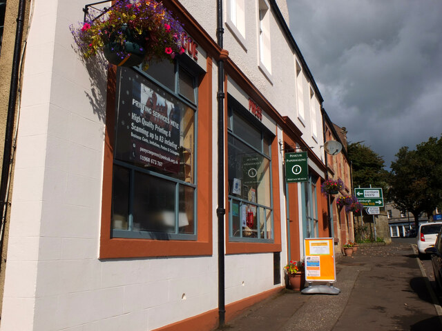
Penicuik
Penicuik ( PEN-i-kuuk; Scots: Penicuik; Scottish Gaelic: Peighinn na Cuthaig) is a town and former burgh in Midlothian, Scotland, lying on the west bank...

Penicuik Town Hall
Penicuik Town Hall, formerly the Cowan Institute, is a municipal building in the High Street, Penicuik, Midlothian, Scotland. The structure, which was...

Penicuik railway station
Penicuik railway station served the town of Penicuik, Midlothian, Scotland from 1872 to 1951 on the Penicuik Railway. == History == The station opened...

Uttershill Castle
Uttershill Castle is a ruinous 16th-century tower house, about 0.5 miles (0.80 km) south of Penicuik, Midlothian, Scotland, south of the river North Esk...
Nearby Amenities
Located within 500m of 55.825385,-3.2171398Have you been to Valleyfield?
Leave your review of Valleyfield below (or comments, questions and feedback).