Urray

Settlement in Ross-shire

Scotland

Urray

Farmland east of Marybank
Farmland east of Marybank Credit: Eirian Evans

Urray is a small village located in Ross-shire, Scotland. Situated in the Scottish Highlands, it lies on the northern bank of the River Beauly, approximately 12 miles west of Inverness. The village is part of the larger Urray and Kilcoy civil parish.

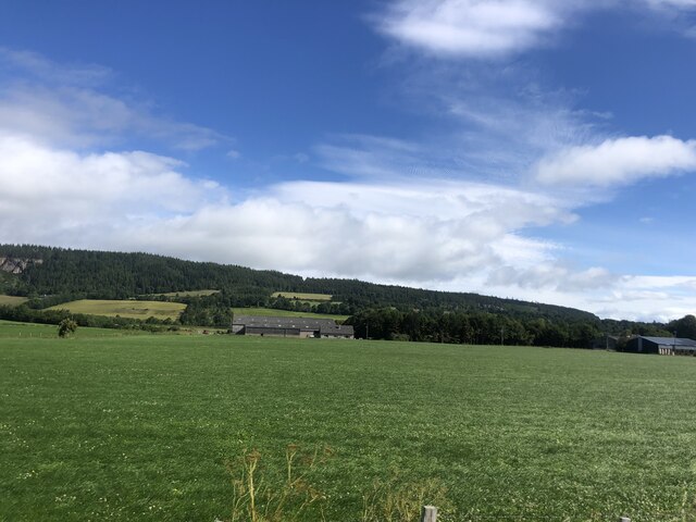
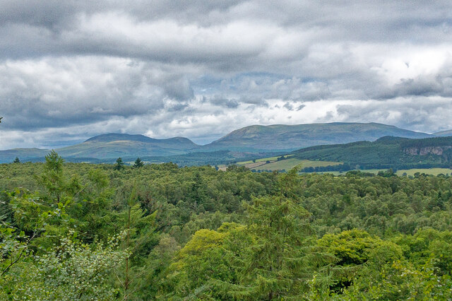
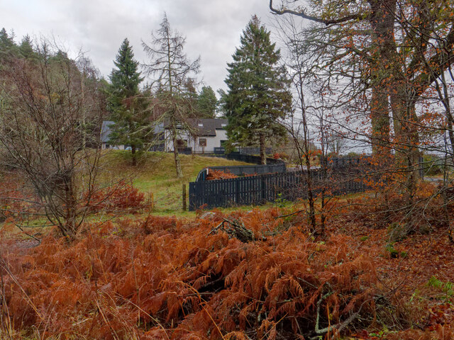
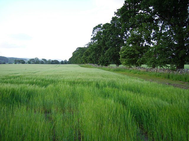
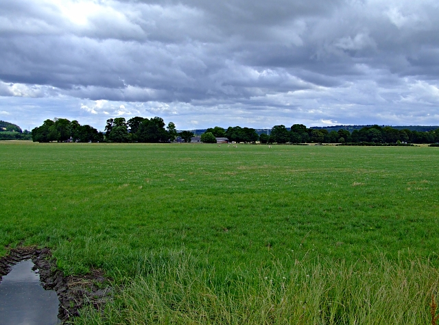
Urray is known for its picturesque setting, surrounded by rolling hills and lush greenery. The village itself is charming, with a mix of traditional stone-built houses and more modern developments. It has a population of around 800 residents, creating a tight-knit community atmosphere.

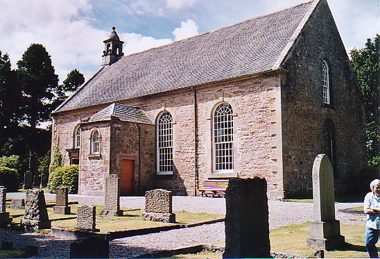
The village offers a range of amenities to its residents, including a primary school, village hall, and a local convenience store. Nearby, there are several historic landmarks, such as the ruins of Urquhart Castle and the historic Beauly Priory, which attract visitors from across the region.

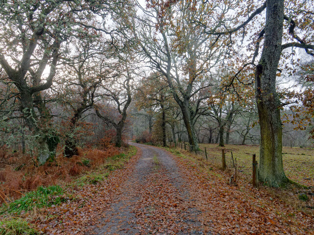
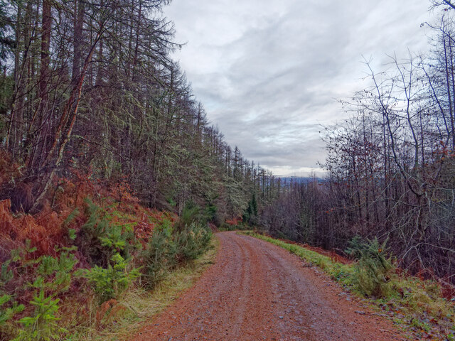
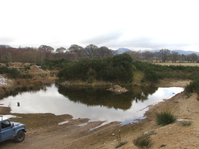
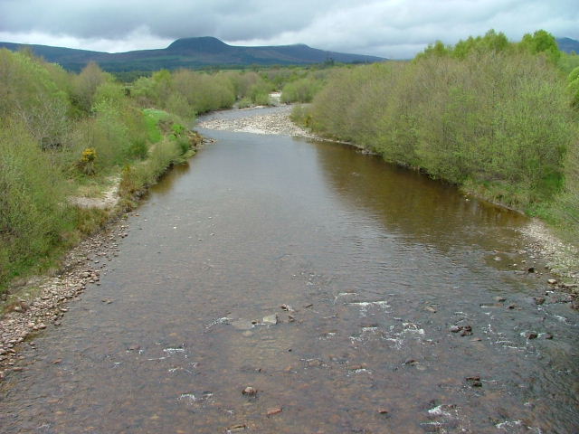
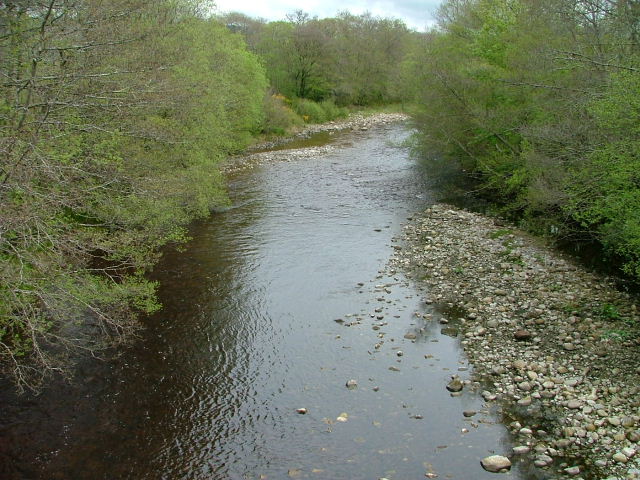
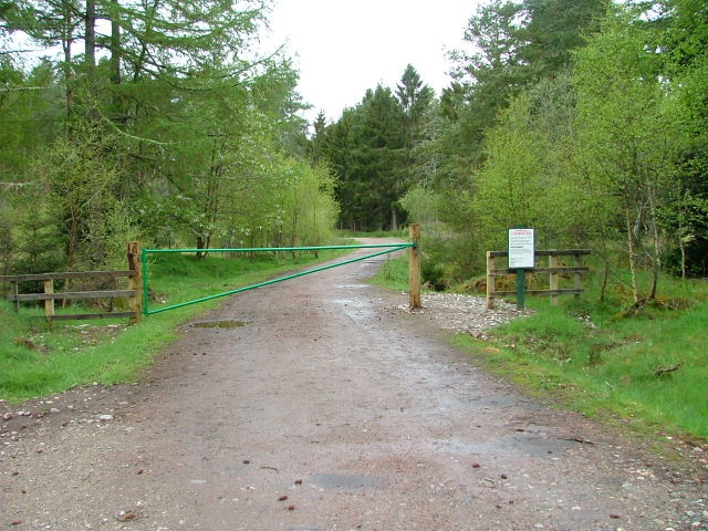
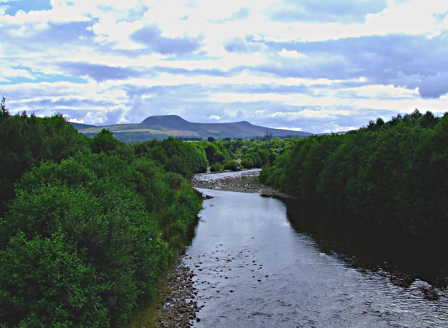
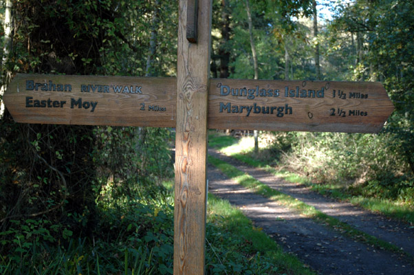
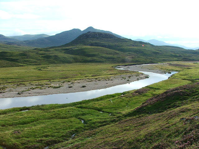
Urray's location provides easy access to outdoor activities, making it a haven for nature lovers. The nearby River Beauly is renowned for its excellent fishing opportunities, particularly for salmon and trout. The surrounding countryside offers numerous walking and hiking trails, allowing residents and visitors to explore the stunning Highland landscapes.

Transport links in Urray are convenient, with regular bus services connecting the village to Inverness and other nearby towns. The A862 road also passes through the village, providing easy access to the wider Highlands region.

Overall, Urray offers a peaceful and scenic setting, making it an ideal place for those seeking a tranquil lifestyle in the heart of the Scottish Highlands.

If you have any feedback on the listing, please let us know in the comments section below.
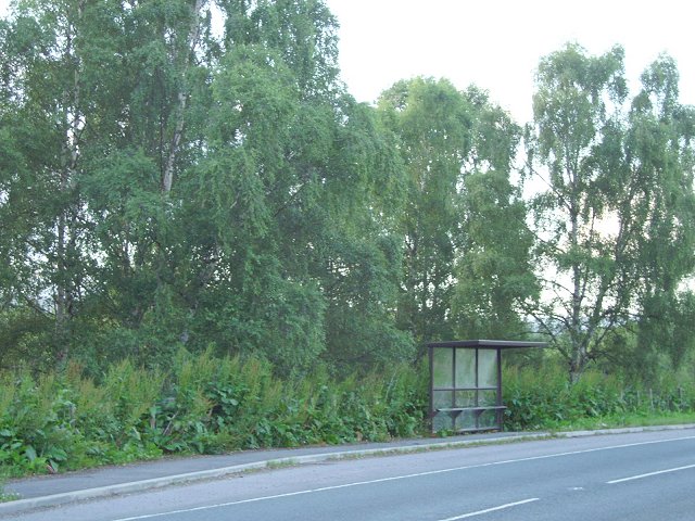
Urray Images

Images are sourced within 2km of 57.537229/-4.4922674 or Grid Reference NH5052. Thanks to Geograph Open Source API. All images are credited.

Farmland east of Marybank
Ben Wyvis and the woodland of Strathconon A view from a vantage point in Clash Wood.  The view has become more restricted over the years by the growth of trees.  See <a href="https://www.geograph.org.uk/photo/5808608">NH4951 : Outlook from Clash Wood towards Ben Wyvis</a> in 2018 and <a href="https://www.geograph.org.uk/photo/5808608">NH4951 : Outlook from Clash Wood towards Ben Wyvis</a> in 2019.
Ben Wyvis and the woodland of Strathconon
A view from a vantage point in Clash Wood. The view has become more restricted over the years by the growth of trees. See NH4951 : Outlook from Clash Wood towards Ben Wyvis in 2018 and NH4951 : Outlook from Clash Wood towards Ben Wyvis in 2019.
Forestry road to Faebait Cottage This wide track continues to the minor road at Faebait Cottage.  The track is a Core Path of the Highland Core Path Network, RC 32.03
Forestry road to Faebait Cottage
This wide track continues to the minor road at Faebait Cottage. The track is a Core Path of the Highland Core Path Network, RC 32.03
Faebait Cottage by Clash Wood The cottage viewed from the Forestry Road through Clash Wood.
Faebait Cottage by Clash Wood
The cottage viewed from the Forestry Road through Clash Wood.
Forestry Road from Faebait to Clash Wood A wide road that is a footpath of the Highland Core Path Network,  RC 32.03
Forestry Road from Faebait to Clash Wood
A wide road that is a footpath of the Highland Core Path Network, RC 32.03
Urray Parish Church
Urray Parish Church
Ord distillery Some of the oldest buildings which comprise the large distillery which occupies most of this grid.
Ord distillery
Some of the oldest buildings which comprise the large distillery which occupies most of this grid.
Quarry A disused quarry situated between Urray and Highfield, now rich with wildlife.
Quarry
A disused quarry situated between Urray and Highfield, now rich with wildlife.
Ord Distillery This image shows the building housing the copper stills which can be seen through the windows
Ord Distillery
This image shows the building housing the copper stills which can be seen through the windows
River Orrin Looking east.
River Orrin
Looking east.
River Orrin Looking northeast.
River Orrin
Looking northeast.
Clash Wood Gateway to woodland walk.
Clash Wood
Gateway to woodland walk.
Conon flood plain At the mouth of Strathconon and head of the Cromarty Firth there is a large area of flat land which is largely used for growing malting barley.
Conon flood plain
At the mouth of Strathconon and head of the Cromarty Firth there is a large area of flat land which is largely used for growing malting barley.
Bus shelter, Highfield The old A9, just north of Muir of Ord, still carries the bus routes north from Inverness to the Easter Ross coastal towns.
Bus shelter, Highfield
The old A9, just north of Muir of Ord, still carries the bus routes north from Inverness to the Easter Ross coastal towns.
Looking up the River Orrin Taken from the Road Bridge.
Looking up the River Orrin
Taken from the Road Bridge.
Farmland near Urray Taken from the road.
Farmland near Urray
Taken from the road.
Anglers' hut by Conon River On Brahan Estate
Anglers' hut by Conon River
On Brahan Estate
Signpost on forest walk Near Conon River
Signpost on forest walk
Near Conon River
Show me another place!

Urray is located at Grid Ref: NH5052 (Lat: 57.537229, Lng: -4.4922674)

Unitary Authority: Highland

Police Authority: Highlands and Islands

What 3 Words

///bucks.propelled.butlers. Near Muir of Ord, Highland

Nearby Locations

Urray

Related Wikis

Urray

Urray (Scottish Gaelic: Urrath) is a scattered village and coastal parish, consisting of Easter, Old and Wester Urray and is located in the county of Ross...

River Orrin

The River Orrin is a river in former Ross-shire, Highland, northern Scotland. The River Orrin is dammed in Glen Orrin making the Orrin Reservoir. It later...
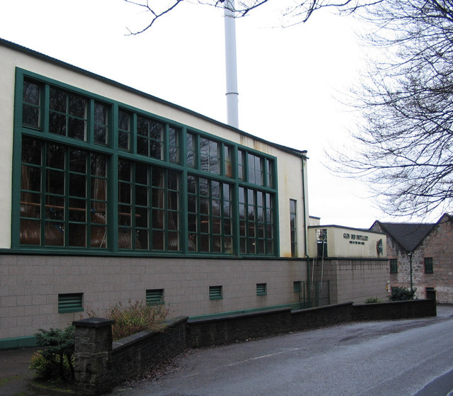
Glen Ord Distillery

Glen Ord distillery is a whisky distillery in the Scottish Highlands and is the only remaining single malt scotch whisky distillery on the Black Isle.Glen...
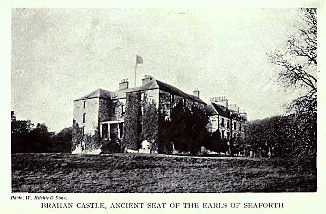
Siege of Brahan

The siege of Brahan took place in Scotland in November 1715 and was part of the Jacobite rising of 1715. Highlanders loyal to the British-Hanoverian government...

Nearby Amenities

Located within 500m of 57.537229,-4.4922674
Bus Stop
Wester Urray
Naptan AtcoCode: 670080044
Naptan Bearing: SE
Naptan CommonName: Wester Urray
Naptan Indicator: o/s Urray Church
Naptan Landmark: Urray Church
Naptan NaptanCode: 45324232
Naptan Street: A832
Naptan Verified: no
Shelter: no
Source: naptan_import
Lat/Long: 57.5374305/-4.492968
Bus Stop
Wester Urray
Naptan AtcoCode: 670080045
Naptan Bearing: NW
Naptan CommonName: Wester Urray
Naptan Indicator: opp Urray Church
Naptan Landmark: Urray Church
Naptan NaptanCode: 45323989
Naptan Street: A832
Naptan Verified: no
Source: naptan_import
Lat/Long: 57.537396/-4.49335
The data included in this document is from www.openstreetmap.org. The data is made available under ODbL.

Have you been to Urray?

Leave your review of Urray below (or comments, questions and feedback).