Upper Cokeham

Settlement in Sussex Adur

England

Upper Cokeham

Sompting church St. Mary's is a grade I listed building, 11th and 12th centuries. The 'Rhenish helm' style of the 11th century tower is unique in England.
Sompting church Credit: Robin Webster

Upper Cokeham is a small village located in the county of Sussex, England. Situated in the South East region of the country, it falls within the administrative district of Adur. The village is surrounded by picturesque countryside, with rolling hills and lush green fields, offering a peaceful and tranquil atmosphere.

With a population of around 500 residents, Upper Cokeham is a close-knit community where neighbors know each other by name. The village primarily consists of residential properties, ranging from charming cottages to modern houses. The architecture reflects the traditional English countryside style, adding to the village's charm and character.

Upper Cokeham benefits from its proximity to nearby towns such as Shoreham-by-Sea and Lancing, which provide essential amenities and services. Residents have access to local shops, schools, and healthcare facilities within a short distance.

Nature enthusiasts will appreciate the village's surroundings, as it offers ample opportunities for outdoor activities. There are numerous walking and cycling paths that lead through scenic routes, allowing residents to explore the beautiful countryside at their leisure.

Transport links are also convenient, with regular bus services connecting Upper Cokeham to neighboring towns and cities. The village is well-connected to major road networks, making it easily accessible for commuters or those who wish to explore the wider area.

In summary, Upper Cokeham is a charming and peaceful village nestled in the idyllic Sussex countryside. With its close-knit community, beautiful architecture, and convenient location, it offers residents a quality rural lifestyle.

If you have any feedback on the listing, please let us know in the comments section below.

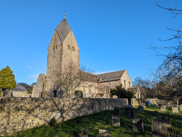
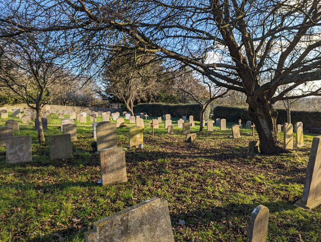
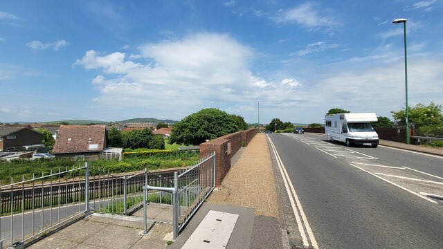
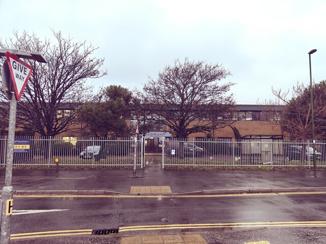
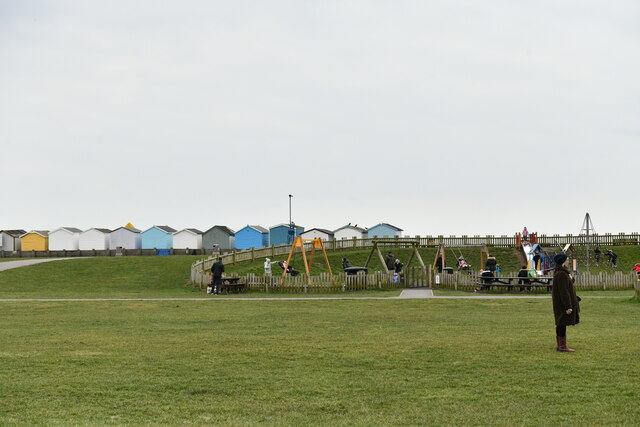
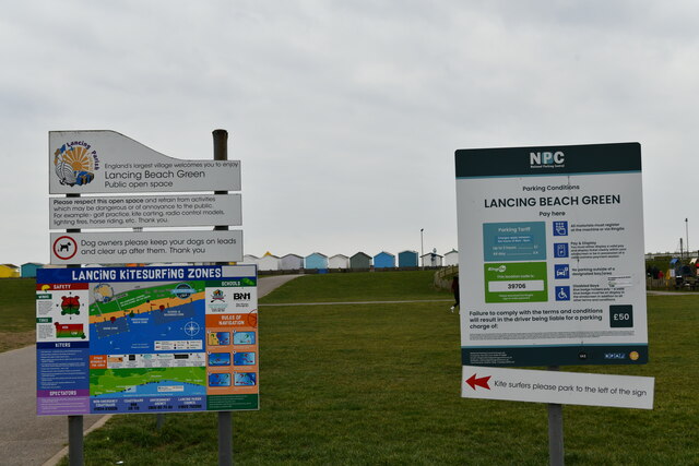
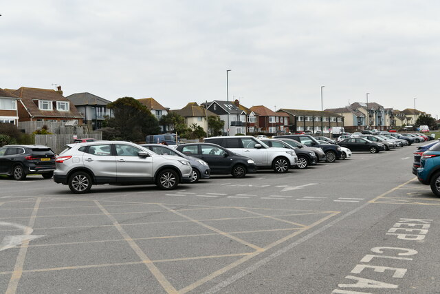
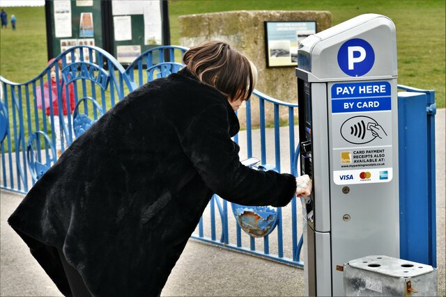
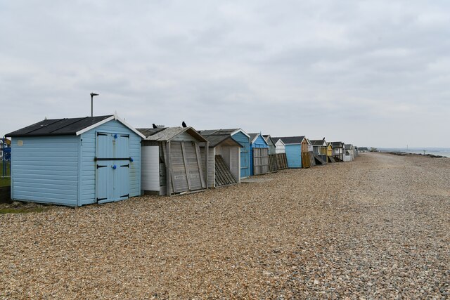
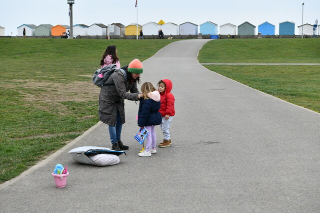
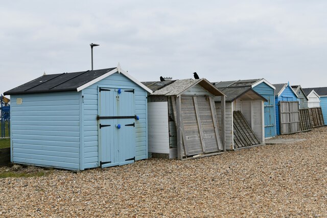
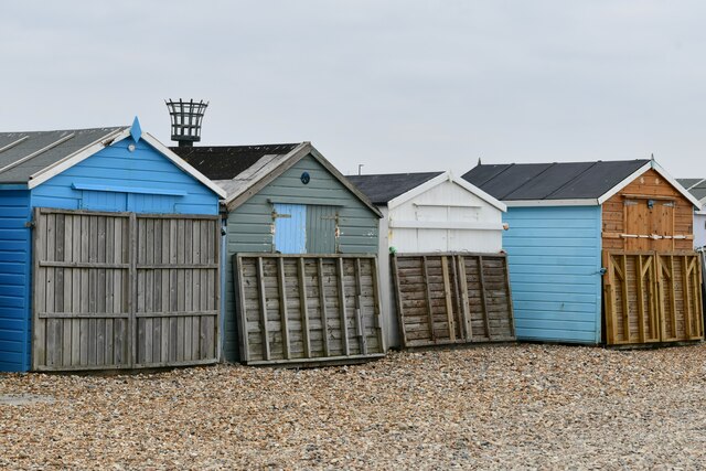
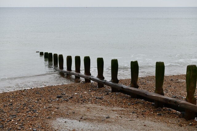
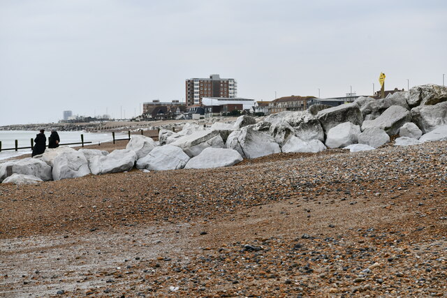
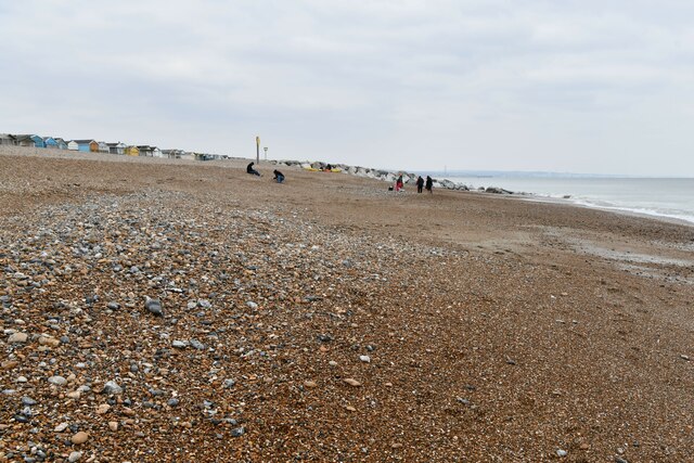
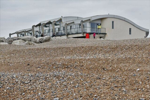
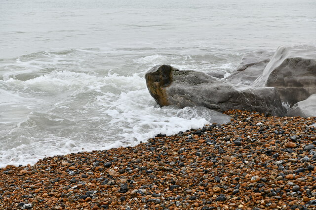
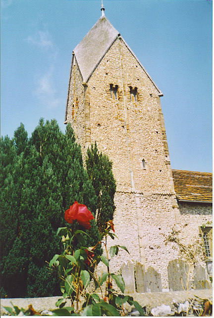
Upper Cokeham Images

Images are sourced within 2km of 50.833271/-0.33707442 or Grid Reference TQ1705. Thanks to Geograph Open Source API. All images are credited.

Sompting church St. Mary's is a grade I listed building, 11th and 12th centuries. The 'Rhenish helm' style of the 11th century tower is unique in England.
Sompting church
St. Mary's is a grade I listed building, 11th and 12th centuries. The 'Rhenish helm' style of the 11th century tower is unique in England.
Graveyard, Sompting One of several extensions to the original churchyard.
Graveyard, Sompting
One of several extensions to the original churchyard.
Grinstead Lane railway bridge The Bridge was built in the mid sixties for the new A2025 bypass road. The level crossing could be avoided.
Grinstead Lane railway bridge
The Bridge was built in the mid sixties for the new A2025 bypass road. The level crossing could be avoided.
The Quadrant, Marlborough Road, Lancing
Lancing: Play area
Lancing: Play area
Lancing: Beach Green information boards
Lancing: Beach Green Car Park
Lancing: Beach Green Car Park, 'pay by card'
Lancing: Incoming tide on the large boulder breakwater
Lancing Beach: Huts
Lancing Beach: Huts
Lancing Beach Green: Path to the beach
Lancing Beach: Huts
Lancing Beach: Huts
Lancing Beach: Huts
Lancing Beach: Huts
Lancing Beach: Breakwater
Lancing Beach: Large boulder breakwater
Lancing Beach looking east
Lancing Beach: Perch Cafe and Gym
Lancing: Incoming tide on the large boulder breakwater
Show me another place!

Upper Cokeham is located at Grid Ref: TQ1705 (Lat: 50.833271, Lng: -0.33707442)

Administrative County: West Sussex

District: Adur

Police Authority: Sussex

What 3 Words

///draw.trying.hope. Near Lancing, West Sussex

Related Wikis

Sompting

Sompting is a village and civil parish in the coastal Adur District of West Sussex, England between Lancing and Worthing. It is half grassland slopes...

Sir Robert Woodard Academy

The Sir Robert Woodard Academy is a mixed gender academy, sponsored by Woodard Schools and West Sussex County Council, in Lancing, West Sussex which opened...

Boundstone Community College

Boundstone Community College was a co-educational comprehensive school for pupils aged 11 to 18, with around 1,000 pupils, including over 100 in the Sixth...

Lancing F.C.

Lancing Football Club is a football club based in Lancing, West Sussex, England. They are members of the Isthmian League South East Division and play at...

Nearby Amenities

Located within 500m of 50.833271,-0.33707442
Mini Roundabout
Direction: clockwise
Lat/Long: 50.8324236/-0.3314786
Turning Circle
Lat/Long: 50.8298424/-0.335745
Turning Circle
Lat/Long: 50.8362245/-0.3424391
Turning Circle
Lat/Long: 50.8359313/-0.3415928
Bus Stop
Busticle Lane PO
Bench: yes
Bin: no
Naptan AtcoCode: 4400AD0037
Naptan Bearing: S
Naptan CommonName: Busticle Lane PO
Naptan Indicator: adj Post Office
Naptan Landmark: Upper Brighton Road
Naptan NaptanCode: wsxadata
Naptan ShortCommonName: Busticle Lane PO
Naptan Street: Busticle Lane
Naptan Verified: no
Shelter: yes
Source: naptan_import
Lat/Long: 50.8369639/-0.3364512
Bus Stop
Busticle Lane PO
Naptan AtcoCode: 4400AD0038
Naptan Bearing: N
Naptan CommonName: Busticle Lane PO
Naptan Indicator: opp Post Office
Naptan Landmark: Upper Brighton Road
Naptan NaptanCode: wsxadatd
Naptan ShortCommonName: Busticle Lane PO
Naptan Street: Busticle Lane
Naptan Verified: no
Shelter: yes
Source: naptan_import
Lat/Long: 50.8369571/-0.3366076
Bus Stop
Ball Tree Inn
Naptan AtcoCode: 4400AD0039
Naptan Bearing: NE
Naptan CommonName: Ball Tree Inn
Naptan Indicator: adj Rectory Farm Road
Naptan Landmark: Rectory Farm Road
Naptan NaptanCode: wsxadatg
Naptan ShortCommonName: Ball Tree Inn
Naptan Street: Busticle Lane
Naptan Verified: no
Source: naptan_import
Lat/Long: 50.8348415/-0.3377196
Bus Stop
Ball Tree Inn
Naptan AtcoCode: 4400AD0040
Naptan Bearing: SW
Naptan CommonName: Ball Tree Inn
Naptan Indicator: opp West Street
Naptan Landmark: West Street
Naptan NaptanCode: wsxadatj
Naptan ShortCommonName: Ball Tree Inn
Naptan Street: Busticle Lane
Naptan Verified: no
Public Transport: platform
Source: naptan_import
Lat/Long: 50.8343304/-0.337823
Bus Stop
Whitestyles Rd
Naptan AtcoCode: 4400AD0041
Naptan Bearing: E
Naptan CommonName: Whitestyles Rd
Naptan Indicator: opp. Whitestyles Road
Naptan Landmark: Whitestyles Rd
Naptan NaptanCode: wsxadatm
Naptan ShortCommonName: Whitestyles Rd
Naptan Street: West Street
Naptan Verified: no
Source: naptan_import
Lat/Long: 50.8344544/-0.3414827
Bus Stop
Whitestyles Rd
Naptan AtcoCode: 4400AD0042
Naptan Bearing: W
Naptan CommonName: Whitestyles Rd
Naptan Indicator: Whitestlyes Road
Naptan Landmark: Whitestyles Rd
Naptan NaptanCode: wsxadatp
Naptan ShortCommonName: Whitestyles Rd
Naptan Street: West Street
Naptan Verified: no
Source: naptan_import
Lat/Long: 50.8343615/-0.3425369
Bus Stop
Northgate Close
Naptan AtcoCode: 4400AD0049
Naptan Bearing: W
Naptan CommonName: Northgate Close
Naptan Indicator: o/s 16
Naptan Landmark: Northgate Close
Naptan NaptanCode: wsxadawp
Naptan ShortCommonName: Northgate Close
Naptan Street: Western Road North
Naptan Verified: no
Public Transport: platform
Source: naptan_import
Lat/Long: 50.8314537/-0.3391749
Bus Stop
Northgate Close
Naptan AtcoCode: 4400AD0050
Naptan Bearing: S
Naptan CommonName: Northgate Close
Naptan Indicator: adj Northgate Close
Naptan Landmark: Northgate Close
Naptan NaptanCode: wsxadawt
Naptan ShortCommonName: Northgate Close
Naptan Street: Western Road North
Naptan Verified: no
Source: naptan_import
Lat/Long: 50.830937/-0.3395198
Bus Stop
Grasmere Avenue
Naptan AtcoCode: 4400AD0051
Naptan Bearing: N
Naptan CommonName: Grasmere Avenue
Naptan Indicator: o/s 160
Naptan Landmark: Grasmere Avenue
Naptan NaptanCode: wsxadgad
Naptan ShortCommonName: Grasmere Avenue
Naptan Street: Western Road North
Naptan Verified: no
Public Transport: platform
Source: naptan_import
Lat/Long: 50.8294121/-0.3398011
Bus Stop
Hamilton Road
Naptan AtcoCode: 4400AD0116
Naptan Bearing: W
Naptan CommonName: Hamilton Road
Naptan Indicator: opp. Hamilton Road
Naptan Landmark: Hamilton Road
Naptan NaptanCode: wsxadjdw
Naptan Street: Crabtree Lane
Naptan Verified: no
Public Transport: platform
Source: naptan_import
Lat/Long: 50.8322932/-0.3305675
Bus Stop
Gordon Road
Naptan AtcoCode: 4400AD0123
Naptan Bearing: S
Naptan CommonName: Gordon Road
Naptan Indicator: adj Gordon Road
Naptan Landmark: Gordon Road
Naptan NaptanCode: wsxadjgw
Naptan Street: Boundstone Lane
Naptan Verified: no
Public Transport: platform
Source: naptan_import
Lat/Long: 50.8300558/-0.3325928
Bus Stop
Gordon Road
Naptan AtcoCode: 4400AD0124
Naptan Bearing: N
Naptan CommonName: Gordon Road
Naptan Indicator: opp Gordon Road
Naptan Landmark: Gordon Road
Naptan NaptanCode: wsxadjma
Naptan Street: Boundstone Lane
Naptan Verified: no
Public Transport: platform
Shelter: no
Source: naptan_import
Lat/Long: 50.8303352/-0.3326397
Bus Stop
Upper Boundstone Lane
Naptan AtcoCode: 4400AD0125
Naptan Bearing: N
Naptan CommonName: Upper Boundstone Lane
Naptan Indicator: adj Community College Grounds
Naptan Landmark: o/s 13
Naptan NaptanCode: wsxadjmd
Naptan Street: Upper Boundstone Lane
Naptan Verified: no
Public Transport: platform
Source: naptan_import
Lat/Long: 50.8339867/-0.3307627
Bus Stop
Sylvan Road
Naptan AtcoCode: 4400AD0147
Naptan Bearing: N
Naptan CommonName: Sylvan Road
Naptan Indicator: In Test Road
Naptan Landmark: Sylvan Road
Naptan NaptanCode: wsxadjwg
Naptan Street: Test Road
Naptan Verified: no
Source: naptan_import
Lat/Long: 50.8310488/-0.3429525
Bus Stop
Hamble Road
Naptan AtcoCode: 4400AD0148
Naptan Bearing: NW
Naptan CommonName: Hamble Road
Naptan Indicator: adj Maytree Close
Naptan Landmark: Maytree Close
Naptan NaptanCode: wsxadjwj
Naptan Street: Hamble Road
Naptan Verified: no
Public Transport: platform
Source: naptan_import
Lat/Long: 50.8309788/-0.341194
Bus Stop
Hamble Road
Naptan AtcoCode: 4400AD0149
Naptan Bearing: SE
Naptan CommonName: Hamble Road
Naptan Indicator: opp Maytree Close
Naptan Landmark: Maytree Close
Naptan NaptanCode: wsxadjwm
Naptan Street: Hamble Road
Naptan Verified: no
Public Transport: platform
Source: naptan_import
Lat/Long: 50.8309458/-0.3407692
Bus Stop
Berriedale Drive
Bench: yes
Bin: yes
Naptan AtcoCode: 4400AD0187
Naptan Bearing: SE
Naptan CommonName: Berriedale Drive
Naptan Indicator: outside Inglecroft Court
Naptan Landmark: Berriedale Drive
Naptan NaptanCode: wsxadmta
Naptan Street: Cokeham Road
Naptan Verified: no
Public Transport: platform
Shelter: yes
Source: naptan_import
Lat/Long: 50.8332524/-0.337279
Bus Stop
Berriedale Drive
Naptan AtcoCode: 4400AD0188
Naptan Bearing: NW
Naptan CommonName: Berriedale Drive
Naptan Indicator: o/s 58
Naptan Landmark: Berriedale Drive
Naptan NaptanCode: wsxadmtd
Naptan Street: Cokeham Road
Naptan Verified: no
Public Transport: platform
Source: naptan_import
Lat/Long: 50.8331996/-0.336727
Bus Stop
Boundstone Lane
Naptan AtcoCode: 4400AD0189
Naptan Bearing: W
Naptan CommonName: Boundstone Lane
Naptan Indicator: o/s 7
Naptan Landmark: Boundstone Lane
Naptan NaptanCode: wsxadmtg
Naptan Street: Cokeham Road
Naptan Verified: no
Public Transport: platform
Shelter: no
Source: naptan_import
Lat/Long: 50.8319387/-0.3328239
Bus Stop
Boundstone Lane
Bench: no
Bin: no
Naptan AtcoCode: 4400AD0190
Naptan Bearing: E
Naptan CommonName: Boundstone Lane
Naptan Indicator: o/s 6
Naptan Landmark: Boundstone Lane
Naptan NaptanCode: wsxadmtj
Naptan Street: Cokeham Road
Naptan Verified: no
Public Transport: platform
Shelter: no
Source: naptan_import
Tactile Paving: no
Lat/Long: 50.8320241/-0.3325085
Bus Stop
Upper Boundstone Lane
Naptan AtcoCode: 4400AD0366
Naptan Bearing: S
Naptan CommonName: Upper Boundstone Lane
Naptan Indicator: o/s 13
Naptan Landmark: Crabtree Lane
Naptan Street: Upper Boundstone Lane
Naptan Verified: no
Public Transport: platform
Source: naptan_import
Lat/Long: 50.8339577/-0.3306217
Taxi
Cokeham Road Taxi
Naptan AtcoCode: 4400TAXI047
Naptan CommonName: Cokeham Road Taxi
Naptan Indicator: adj Cokeham Lane
Naptan Landmark: Cokeham Lane
Naptan Street: Cokeham Road
Naptan Verified: no
Source: naptan_import
Lat/Long: 50.8327176/-0.3357217
Power: tower
Source: Bing
Lat/Long: 50.8341686/-0.3436967
Mini Roundabout
Direction: clockwise
Lat/Long: 50.8318933/-0.3318585
Turning Circle
Lat/Long: 50.8357783/-0.3427647
Power: tower
Source: Bing
Lat/Long: 50.8317985/-0.3425138
Post Box
Brand: Royal Mail
Brand Wikidata: Q638098
Brand Wikipedia: en:Royal Mail
Collection Plate: CP7D
Collection Times: Mo-Fr 09:00; Sa 07:00
Operator: Royal Mail
Operator Wikidata: Q638098
Post Box Type: lamp
Ref: BN15 1387D
Royal Cypher: EIIR
Royal Cypher Wikidata: Q33102113
Lat/Long: 50.8313997/-0.3318676
Post Box
Brand: Royal Mail
Brand Wikidata: Q638098
Brand Wikipedia: en:Royal Mail
Collection Plate: CP1
Collection Times: Mo-Fr 16:45; Sa 11:30
Operator: Royal Mail
Operator Wikidata: Q638098
Post Box Type: pillar
Ref: BN15 1388
Royal Cypher: GR
Royal Cypher Wikidata: Q33102273
Lat/Long: 50.832954/-0.3364368
Post Box
Brand: Royal Mail
Brand Wikidata: Q638098
Brand Wikipedia: en:Royal Mail
Collection Plate: CP7D
Collection Times: Mo-Fr 09:00; Sa 07:00
Operator: Royal Mail
Operator Wikidata: Q638098
Post Box Type: lamp
Ref: BN15 1399D
Royal Cypher: EIIR
Royal Cypher Wikidata: Q33102113
Lat/Long: 50.8313119/-0.3428419
Atm
Fee: no
Indoor: no
Opening Hours: 24/7
Operator: Cash Zone
Lat/Long: 50.8312937/-0.3414689
Crossing
Crossing: unmarked
Crossing Markings: no
Kerb: lowered
Tactile Paving: yes
Lat/Long: 50.8373949/-0.3362797
Traffic Signals
Traffic Signals: signal
Traffic Signals Direction: forward
Lat/Long: 50.8374479/-0.3358915
Traffic Signals
Traffic Signals: signal
Traffic Signals Direction: forward
Lat/Long: 50.837611/-0.3364226
Traffic Signals
Traffic Signals: signal
Traffic Signals Direction: backward
Lat/Long: 50.8373708/-0.3362946
Give Way
Direction: forward
Lat/Long: 50.8374444/-0.3364558
Crossing
Crossing: unmarked
Crossing Markings: no
Kerb: lowered
Tactile Paving: yes
Lat/Long: 50.8374038/-0.33642
Crossing
Crossing: traffic_signals
Crossing Ref: puffin
Kerb: lowered
Tactile Paving: yes
Lat/Long: 50.8374525/-0.3359609
Crossing
Crossing: traffic_signals
Crossing Ref: puffin
Kerb: lowered
Tactile Paving: yes
Lat/Long: 50.8375735/-0.3360034
Crossing
Crossing: unmarked
Crossing Island: no
Crossing Markings: no
Kerb: lowered
Tactile Paving: no
Lat/Long: 50.8376369/-0.3359347
Crossing
Crossing: unmarked
Crossing Island: yes
Crossing Markings: no
Kerb: lowered
Tactile Paving: no
Lat/Long: 50.8376764/-0.3361057
Traffic Signals
Traffic Signals: signal
Traffic Signals Direction: backward
Lat/Long: 50.8376973/-0.3360896
Give Way
Direction: forward
Lat/Long: 50.837592/-0.3358991
Speed Camera
Lat/Long: 50.8376772/-0.3366441
Post Box
Brand: Royal Mail
Brand Wikidata: Q638098
Brand Wikipedia: en:Royal Mail
Collection Times: Mo-Fr 09:00; Sa 07:00
Operator: Royal Mail
Operator Wikidata: Q638098
Post Box Type: wall
Ref: BN15 1389
Royal Cypher: GR
Royal Cypher Wikidata: Q33102273
Lat/Long: 50.8297869/-0.3370303
Post Box
Brand: Royal Mail
Brand Wikidata: Q638098
Brand Wikipedia: en:Royal Mail
Operator: Royal Mail
Operator Wikidata: Q638098
Post Box Type: pillar
Ref: BN15 1395D
Royal Cypher: GR
Royal Cypher Wikidata: Q33102273
Lat/Long: 50.8364969/-0.336754
Post Box
Brand: Royal Mail
Brand Wikidata: Q638098
Brand Wikipedia: en:Royal Mail
Operator: Royal Mail
Operator Wikidata: Q638098
Post Box Type: lamp
Ref: BN15 1396D
Royal Cypher: EIIR
Royal Cypher Wikidata: Q33102113
Lat/Long: 50.8364387/-0.3413031
Leisure: picnic_table
Lat/Long: 50.8304373/-0.3405957
Leisure: picnic_table
Lat/Long: 50.8304037/-0.3405367
Leisure: picnic_table
Lat/Long: 50.8303701/-0.340474
Traffic Signals
Traffic Signals: signal
Traffic Signals Direction: forward
Lat/Long: 50.8375804/-0.336427
Crossing
Crossing: traffic_signals
Lat/Long: 50.8374762/-0.3359576
Give Way
Direction: backward
Lat/Long: 50.8373554/-0.3349594
The data included in this document is from www.openstreetmap.org. The data is made available under ODbL.

Have you been to Upper Cokeham?

Leave your review of Upper Cokeham below (or comments, questions and feedback).