Uncleby

Settlement in Yorkshire

England

Uncleby

Gatehowe Road approaching the summit Looking along the road from Howe Hill to Hanging Grimston.
Gatehowe Road approaching the summit Credit: DS Pugh

Uncleby is a small village located in the county of Yorkshire, England. Situated in the district of Hambleton, it is nestled amidst the picturesque countryside, offering residents and visitors a tranquil and idyllic setting.

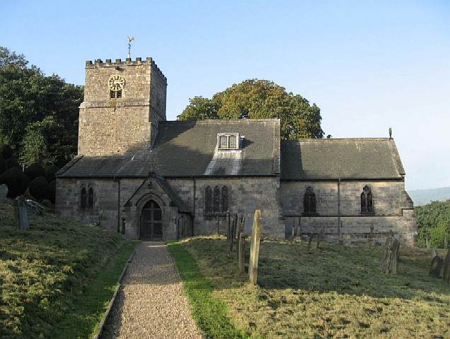
The village is home to a close-knit community, with a population of around 300 people. The origins of Uncleby can be traced back to ancient times, as evidenced by the presence of historical landmarks and structures that still stand today. One such example is the St. James Church, a charming stone-built parish church that dates back to the 12th century. The church not only serves as a place of worship but also holds great historical and architectural significance.

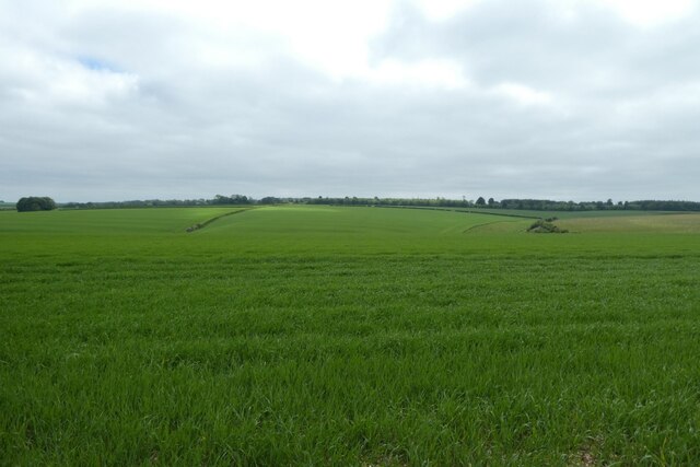
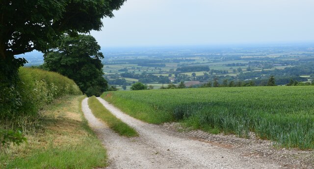
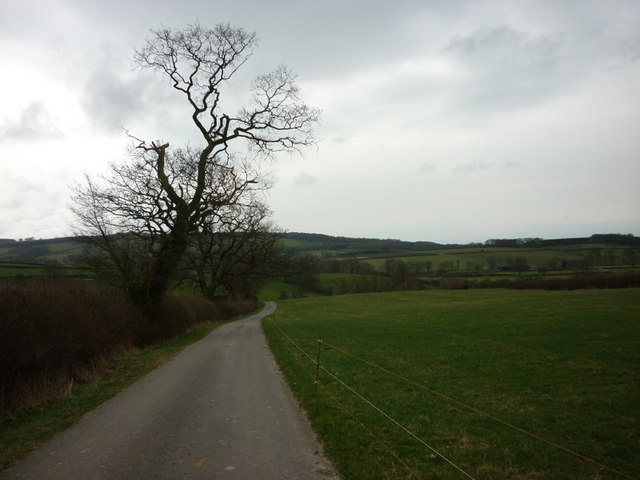
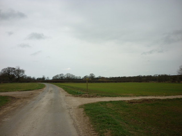
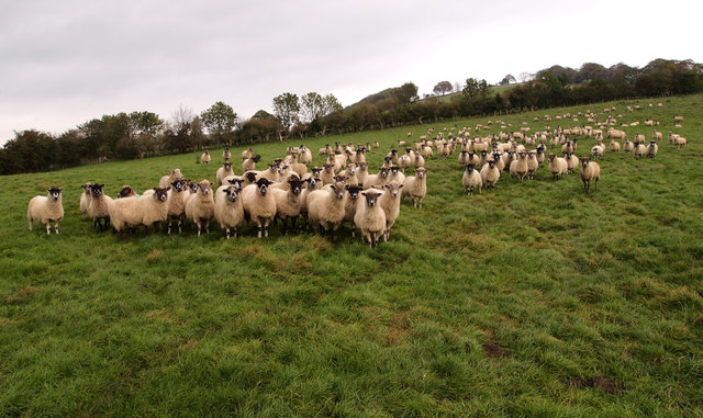
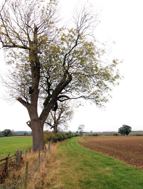
The surrounding countryside provides ample opportunities for outdoor activities and exploration. The rolling hills and lush green fields make Uncleby an ideal destination for nature lovers and hikers. The village is also close to the North York Moors National Park, a vast expanse of stunning landscapes and diverse flora and fauna.

While Uncleby may be small in size, it boasts a strong sense of community spirit. Residents frequently come together to organize events and activities, such as the annual village fete, which showcases local talent, crafts, and produce. This sense of community is also evident in the village pub, a popular gathering spot where locals and visitors can socialize and enjoy a pint of traditional Yorkshire ale.

Overall, Uncleby offers a peaceful retreat from the hustle and bustle of city life, with its charming architecture, beautiful surroundings, and welcoming community.

If you have any feedback on the listing, please let us know in the comments section below.
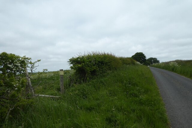
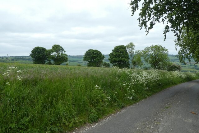
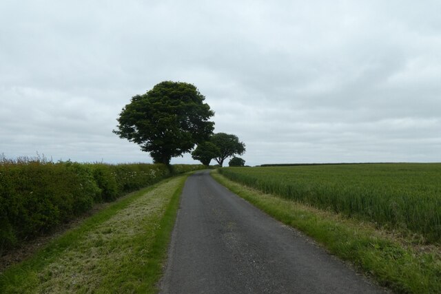
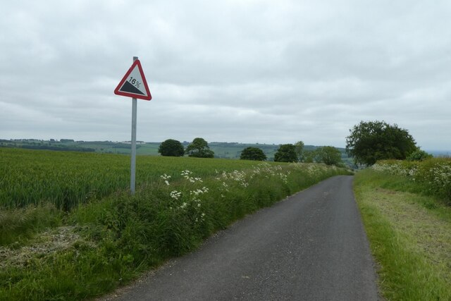
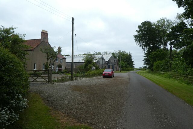
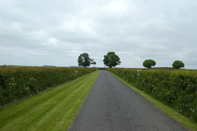
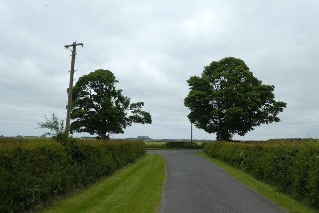
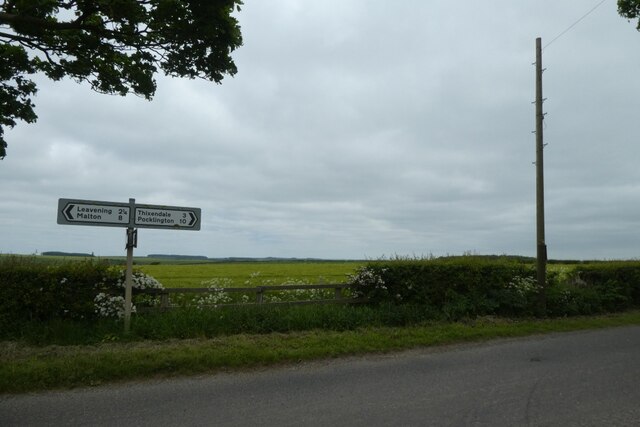
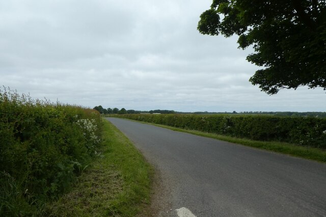
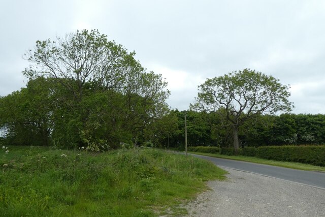
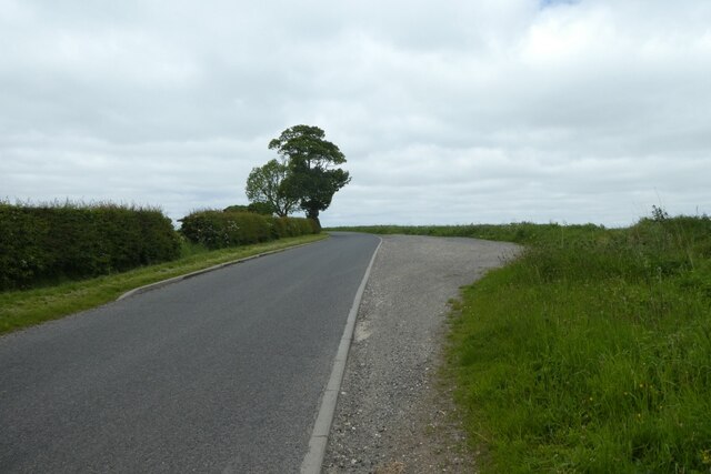
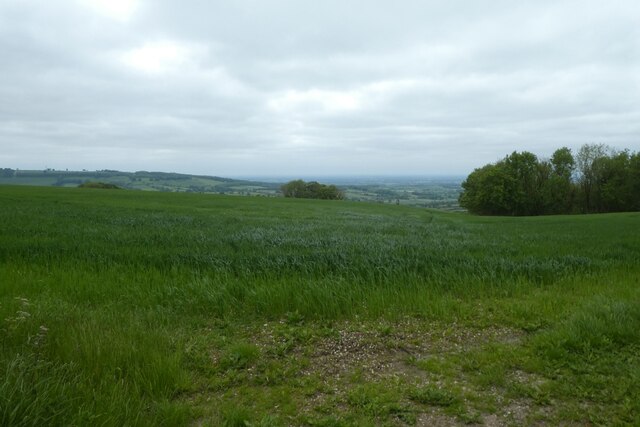
Uncleby Images

Images are sourced within 2km of 54.022045/-0.76213079 or Grid Reference SE8159. Thanks to Geograph Open Source API. All images are credited.

Gatehowe Road approaching the summit Looking along the road from Howe Hill to Hanging Grimston.
Gatehowe Road approaching the summit
Looking along the road from Howe Hill to Hanging Grimston.
Fields beside Gatehowe Road Looking down the road from Hanging Grimston.
Fields beside Gatehowe Road
Looking down the road from Hanging Grimston.
Road near Hanging Grimston Looking along Gatehowe Road. A path heads towards Acklam from the corner.
Road near Hanging Grimston
Looking along Gatehowe Road. A path heads towards Acklam from the corner.
Descent sign on Gatehowe Road Looking down the road from Hanging Grimston to Howe Hill.
Descent sign on Gatehowe Road
Looking down the road from Hanging Grimston to Howe Hill.
Wold Farm Looking along Gatehowe Road in Hanging Grimston.
Wold Farm
Looking along Gatehowe Road in Hanging Grimston.
Gatehowe Road at Hanging Grimston Looking towards the junction with the Roman Road.
Gatehowe Road at Hanging Grimston
Looking towards the junction with the Roman Road.
Junction of Gatehowe Road Looking along Gatehowe Road towards the Roman Road.
Junction of Gatehowe Road
Looking along Gatehowe Road towards the Roman Road.
Sign post and telegraph pole Looking across the junction with Gatehowe Road.
Sign post and telegraph pole
Looking across the junction with Gatehowe Road.
Roman road towards Acklam Looking along the road from the junction with Gatehowe Road.
Roman road towards Acklam
Looking along the road from the junction with Gatehowe Road.
Road to Uncleby Wold Looking along the road on top of the Wolds. The telegraph pole ahead is marked GPO 24L 52 indicating it was owned by the GPO (now BT), is 24 feet in length and a 'light' post, and the pole was produced in 1952.
Road to Uncleby Wold
Looking along the road on top of the Wolds. The telegraph pole ahead is marked GPO 24L 52 indicating it was owned by the GPO (now BT), is 24 feet in length and a 'light' post, and the pole was produced in 1952.
Road towards Hanging Grimston Looking along the Roman Road on top of the Wolds towards Hanging Grimston.
Road towards Hanging Grimston
Looking along the Roman Road on top of the Wolds towards Hanging Grimston.
Field above Harpers Barn Plantation Looking across an arable field above Washpit Dale.
Field above Harpers Barn Plantation
Looking across an arable field above Washpit Dale.
Fields at Martinholme Looking into Long Dale from the road to Thixendale.
Fields at Martinholme
Looking into Long Dale from the road to Thixendale.
Lane above the Vale of York. On the edge of the Wolds.
Lane above the Vale of York.
On the edge of the Wolds.
A minor road towards Kirby Underdale
A footpath crosses Bugthorpe Lane at Glebe  Farm
A footpath crosses Bugthorpe Lane at Glebe Farm
Brave Residents This huge flock of sheep came running over to see my dog and me... the leashed dog (a petite Alsatian cross) showed unusual and unbelievable restraint!
Brave Residents
This huge flock of sheep came running over to see my dog and me... the leashed dog (a petite Alsatian cross) showed unusual and unbelievable restraint!
Fieldside Tree
Fieldside Tree
Show me another place!

Uncleby is located at Grid Ref: SE8159 (Lat: 54.022045, Lng: -0.76213079)

Division: East Riding

Unitary Authority: East Riding of Yorkshire

Police Authority: Humberside

What 3 Words

///windpipe.displays.savings. Near Kirby Underdale, East Yorkshire

Related Wikis

Uncleby

Uncleby is a hamlet in the East Riding of Yorkshire, England. It forms part of the civil parish of Kirby Underdale. It is situated approximately 6.5 miles...

Kirby Underdale

Kirby Underdale is a village and civil parish in the East Riding of Yorkshire, England. It is situated approximately six miles (ten kilometres) north...

Painsthorpe Abbey

Painsthorpe Abbey was a short-lived monastery of the Anglican Order of St. Benedict. It was established in 1902 at Painsthorpe in the East Riding of Yorkshire...

Painsthorpe

Painsthorpe is a hamlet in the East Riding of Yorkshire, England. It is located about 1 mile (1.6 km) east of the village of Kirby Underdale, the area...

Bishop Wilton Wold

Bishop Wilton Wold is the highest point of the Yorkshire Wolds in the East Riding of Yorkshire, England. The summit, known as Garrowby Hill, lies about...

Garrowby

Garrowby is a hamlet in the East Riding of Yorkshire, England. It is situated approximately 5 miles (8 km) north of Pocklington town centre. It lies to...

Minster FM

Minster FM was an Independent Local Radio station serving York and the surrounding areas such as Selby, Tadcaster, Thirsk, Northallerton and Goole. The...

Buckrose

Buckrose was a wapentake of the historic East Riding of Yorkshire, England consisting of the north-west part of the county; its territory is now partly...

Nearby Amenities

Located within 500m of 54.022045,-0.76213079
Uncleby
Place: hamlet
Wikidata: Q7882856
Lat/Long: 54.0214495/-0.7626474
Passing Place
Lat/Long: 54.0232922/-0.7553561
Natural: spring
Lat/Long: 54.0244086/-0.7630035
Natural: spring
Lat/Long: 54.0256652/-0.7579772
Natural: spring
Lat/Long: 54.0256733/-0.7578885
Natural: spring
Lat/Long: 54.0256879/-0.758027
Barrier: kissing_gate
Lat/Long: 54.0214378/-0.7653504
Barrier: cattle_grid
Lat/Long: 54.0253704/-0.7654408
Barrier: cattle_grid
Lat/Long: 54.0211265/-0.76758
Material: wood
Power: pole
Lat/Long: 54.0228676/-0.7558612
Material: wood
Power: pole
Lat/Long: 54.02306/-0.7548022
Material: wood
Power: pole
Lat/Long: 54.0226664/-0.7569633
Material: wood
Power: pole
Lat/Long: 54.0224258/-0.7580391
Material: wood
Power: pole
Lat/Long: 54.0222385/-0.7591711
Material: wood
Power: pole
Lat/Long: 54.0220272/-0.7601572
Material: wood
Power: pole
Transformer: distribution
Lat/Long: 54.022419/-0.761105
Material: wood
Power: pole
Lat/Long: 54.0230605/-0.7617245
Material: wood
Power: pole
Lat/Long: 54.0236672/-0.7626949
Material: wood
Power: pole
Transformer: distribution
Lat/Long: 54.025832/-0.7661576
Material: wood
Power: pole
Lat/Long: 54.0253505/-0.7653853
Material: wood
Power: pole
Lat/Long: 54.0249388/-0.7647712
Material: wood
Power: pole
Lat/Long: 54.0243929/-0.7637937
Line Management: branch
Material: wood
Power: pole
Lat/Long: 54.0216982/-0.7604151
Material: wood
Power: pole
Lat/Long: 54.0223097/-0.7609941
Material: wood
Power: pole
Lat/Long: 54.0208313/-0.7610335
Material: wood
Power: pole
Lat/Long: 54.0192697/-0.7622244
Material: wood
Power: pole
Lat/Long: 54.0201431/-0.7616075
Material: wood
Power: pole
Lat/Long: 54.0180737/-0.7630998
Material: wood
Power: pole
Lat/Long: 54.0185524/-0.7627068
The data included in this document is from www.openstreetmap.org. The data is made available under ODbL.

Have you been to Uncleby?

Leave your review of Uncleby below (or comments, questions and feedback).