Tyrrell's Wood

Settlement in Surrey Mole Valley

England

Tyrrell's Wood

Leatherhead Waitrose Supermarket in the town centre.
Leatherhead Waitrose Credit: James Emmans

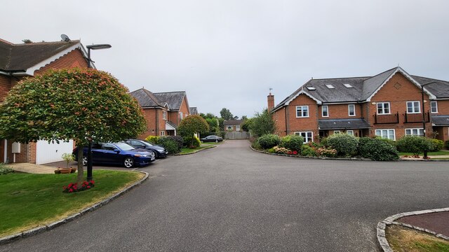
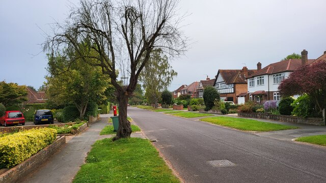
Tyrrell's Wood is a small, affluent residential area located in the county of Surrey, England. Situated just outside the town of Leatherhead, it is renowned for its picturesque surroundings and exclusive housing.

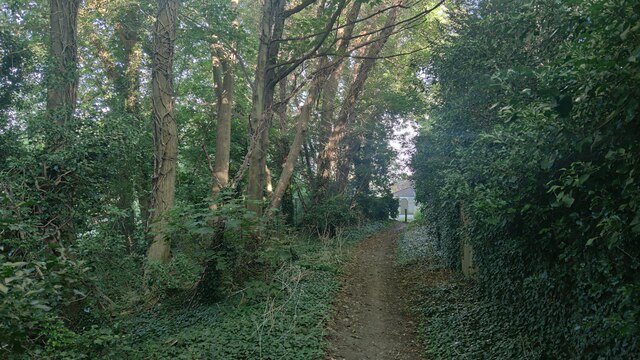
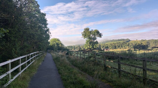
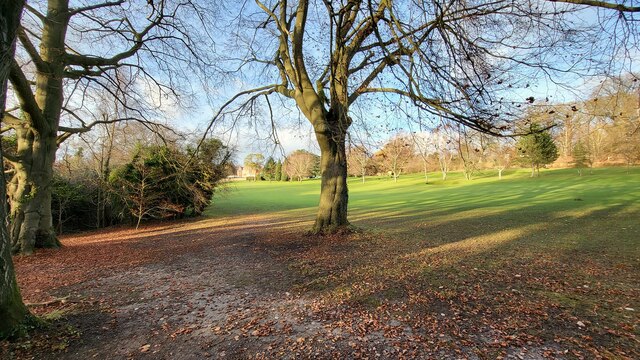
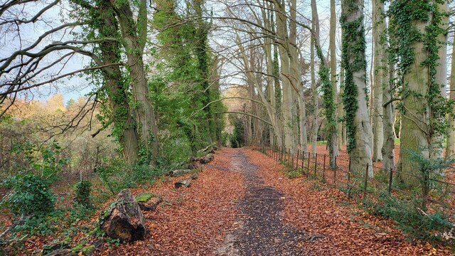
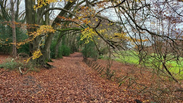
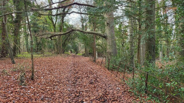
The area is characterized by its abundant greenery, with large areas of protected woodland and numerous golf courses. The centerpiece of Tyrrell's Wood is the prestigious Tyrrell's Wood Golf Club, known for its challenging course and stunning views. The club attracts both amateur and professional golfers from across the country.

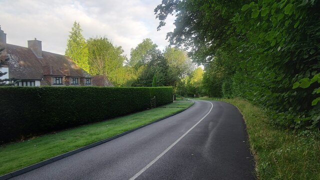
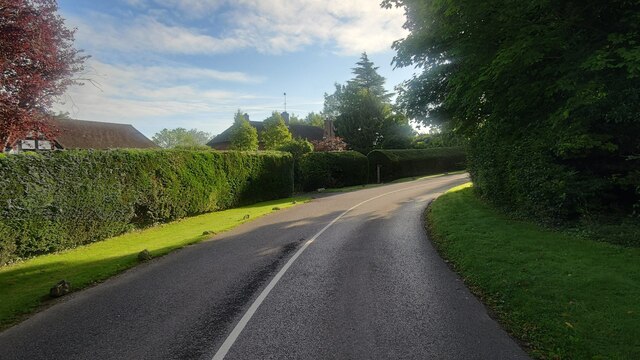
The housing in Tyrrell's Wood is predominantly made up of expansive, luxury properties. These homes are often set within generous plots of land, offering residents privacy and tranquility. The architectural styles vary, ranging from modern mansions to traditional country houses, all with their own unique charm.

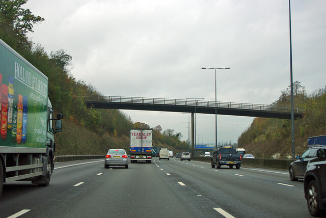
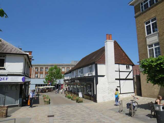
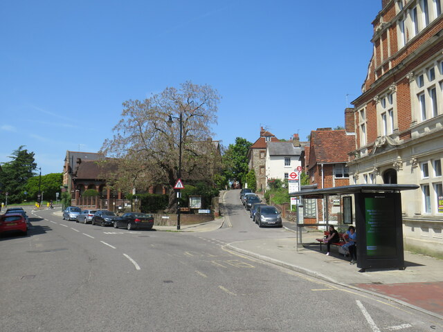
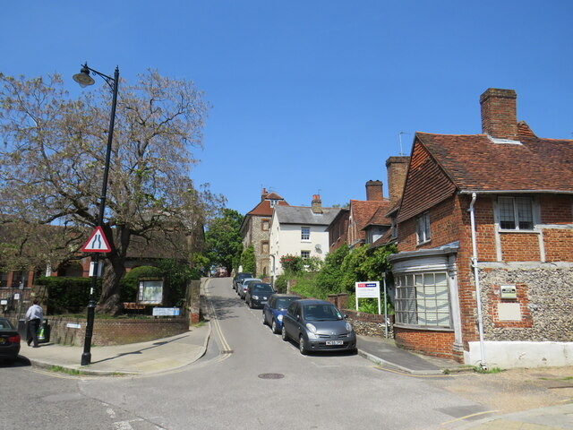
In terms of amenities, Tyrrell's Wood is conveniently located close to Leatherhead town center, which offers a range of shops, restaurants, and services. The area benefits from excellent transport links, with easy access to major roads and nearby train stations.

Tyrrell's Wood is also known for its strong sense of community. Residents often take part in various social and recreational activities, including local events and charity fundraisers.

Overall, Tyrrell's Wood presents an idyllic and desirable place to live, combining natural beauty, exclusivity, and convenient access to amenities.

If you have any feedback on the listing, please let us know in the comments section below.

Tyrrell's Wood Images

Images are sourced within 2km of 51.289422/-0.30650969 or Grid Reference TQ1855. Thanks to Geograph Open Source API. All images are credited.

Leatherhead Waitrose Supermarket in the town centre.
Leatherhead Waitrose
Supermarket in the town centre.
Bridleway towards Downs Lane
Hidden cycle path following the Dorking Road This path could easily missed by cyclists. Modern route apps will show this route.
Hidden cycle path following the Dorking Road
This path could easily missed by cyclists. Modern route apps will show this route.
Givons Grove - The Downs Entrance road from the A24 leatherhead bypass.
Givons Grove - The Downs
Entrance road from the A24 leatherhead bypass.
The Downs Windy road through the housing estate.
The Downs
Windy road through the housing estate.
Bramley Grove Housing infill development on a school site.
Bramley Grove
Housing infill development on a school site.
West Farm Avenue Residential street with post box on the corner to West Farm Close.
West Farm Avenue
Residential street with post box on the corner to West Farm Close.
Tyrrell's Wood Golf Club The club house is in the distance.
Tyrrell's Wood Golf Club
The club house is in the distance.
Stane Street Route of a Roman Road now used as a bridleway and the Thames Downs Link trail. The official link for the Thames Path and the North Downs Way.
Stane Street
Route of a Roman Road now used as a bridleway and the Thames Downs Link trail. The official link for the Thames Path and the North Downs Way.
Bridleway on the northern edge of Cherkley Woods Beech leaves forming a thick carpet.

The path is near the car park on Mill Way.
Bridleway on the northern edge of Cherkley Woods
Beech leaves forming a thick carpet. The path is near the car park on Mill Way.
Bridleway towards Downside Manor A very old metal fence on its last legs, marks the boundary of the Tyrrell's Wood Golf Club. 

Info - <span class="nowrap"><a title="https://www.tyrrellswoodgolfclub.com/" rel="nofollow ugc noopener" href="https://www.tyrrellswoodgolfclub.com/">Link</a><img style="margin-left:2px;" alt="External link" title="External link - shift click to open in new window" src="https://s1.geograph.org.uk/img/external.png" width="10" height="10"/></span>
Bridleway towards Downside Manor
A very old metal fence on its last legs, marks the boundary of the Tyrrell's Wood Golf Club. Info - LinkExternal link
M25 clockwise - farm accommodation bridge
Church Street, Leatherhead Church Street in the centre of Leatherhead in Surrey.  The street is pedestrianised.
Church Street, Leatherhead
Church Street in the centre of Leatherhead in Surrey. The street is pedestrianised.
North Street, Leatherhead North Street in the centre of Leatherhead, a town in Surrey.  Passengers wait for buses at the stop on the opposite side of the road.
North Street, Leatherhead
North Street in the centre of Leatherhead, a town in Surrey. Passengers wait for buses at the stop on the opposite side of the road.
Gravel Hill, Leatherhead Gravel Hill is a minor lane in the centre of Leatherhead, a town in Surrey.
Gravel Hill, Leatherhead
Gravel Hill is a minor lane in the centre of Leatherhead, a town in Surrey.
St. John's School, Leatherhead View of the Quad and the Sixth Form Study Centre/Multimedia Studio.
St. John's School, Leatherhead
View of the Quad and the Sixth Form Study Centre/Multimedia Studio.
St. John's School, Leatherhead Playing field.
St. John's School, Leatherhead
Playing field.
Roundabout at the Junction of A24, A246 and B2450. Looking south in the direction of Box Hill and Dorking.
Roundabout at the Junction of A24, A246 and B2450.
Looking south in the direction of Box Hill and Dorking.
Show me another place!

Tyrrell's Wood is located at Grid Ref: TQ1855 (Lat: 51.289422, Lng: -0.30650969)

Administrative County: Surrey

District: Mole Valley

Police Authority: Surrey

What 3 Words

///places.ideas.magic. Near Leatherhead, Surrey

Related Wikis

Downsend School

Downsend School is a co-educational independent school for pupils aged between two and sixteen. In 2020, Downsend became a through-school, offering a three...

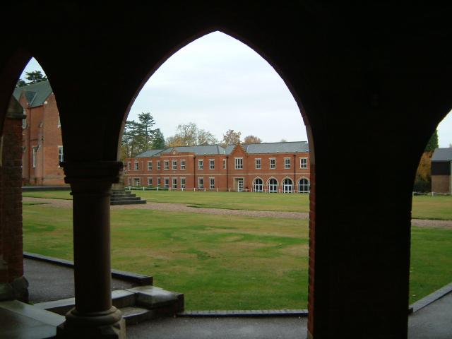
St John's School, Leatherhead

St John's School in Leatherhead, Surrey is a fully co-educational private school for pupils aged 11 to 18. The school offers day, weekly and flexible boarding...

Church of St Mary & St Nicholas, Leatherhead

The Church of St Mary & St Nicholas is an Anglican parish church in Leatherhead, Surrey, England. Dating originally to around the 11th century, it remains...

Cherkley Court

Cherkley Court, at the extreme southeast of Leatherhead, Surrey, in England, is a late Victorian neo-classical mansion and estate of 370 acres (1.5 km2...

Nearby Amenities

Located within 500m of 51.289422,-0.30650969
Turning Circle
Lat/Long: 51.2897517/-0.3133562
Noexit: yes
Lat/Long: 51.2886676/-0.3124774
Noexit: yes
Lat/Long: 51.2890103/-0.3120338
Turning Circle
Lat/Long: 51.2874395/-0.3117135
Bus Stop
Tyrells Wood
Naptan AtcoCode: 40004408124A
Naptan Bearing: SE
Naptan CommonName: Tyrells Wood
Naptan Indicator: Just Before
Naptan Landmark: Tyrells Wood
Naptan NaptanCode: surdagwd
Naptan Street: Headley Road
Naptan Verified: no
Public Transport: platform
Source: naptan_import
Wheelchair: limited
Wheelchair Description: Narrow footway. No step-free crossing to stop and golf course opposite.
Lat/Long: 51.2895016/-0.3065262
Bus Stop
Tyrells Wood
Naptan AtcoCode: 40004408124B
Naptan Bearing: W
Naptan CommonName: Tyrells Wood
Naptan Indicator: Just after
Naptan Landmark: Tyrells Wood
Naptan NaptanCode: surdagwg
Naptan Street: Headley Road
Naptan Verified: no
Public Transport: platform
Source: naptan_import
Wheelchair: no
Wheelchair Description: No footway on south side. Not step-free to footway and stop opposite.
Lat/Long: 51.2894491/-0.3070668
Noexit: yes
Lat/Long: 51.2884008/-0.3133817
Power: pole
Lat/Long: 51.2876251/-0.3096198
Noexit: yes
Lat/Long: 51.2882279/-0.3128502
Marker: aerial
Utility: oil
Lat/Long: 51.2863768/-0.3088099
Marker: aerial
Utility: oil
Lat/Long: 51.2864756/-0.3088503
Colour: white
Marker: post
Material: concrete
Utility: oil
Lat/Long: 51.286473/-0.3088473
Colour: white
Marker: post
Material: plastic
Utility: oil
Lat/Long: 51.286383/-0.3088122
Colour: white
Marker: post
Material: concrete
Utility: oil
Lat/Long: 51.2901129/-0.3109287
Colour: white
Marker: post
Material: plastic
Utility: oil
Lat/Long: 51.2898916/-0.3107724
The data included in this document is from www.openstreetmap.org. The data is made available under ODbL.

Have you been to Tyrrell's Wood?

Leave your review of Tyrrell's Wood below (or comments, questions and feedback).