Tormisdale
Settlement in Argyllshire
Scotland
Tormisdale

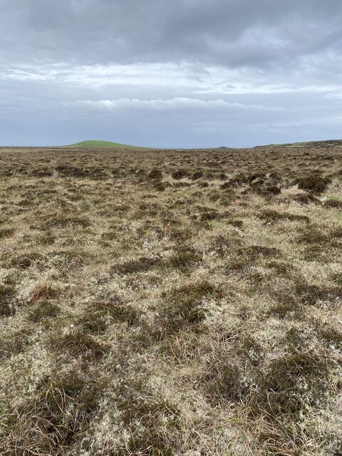
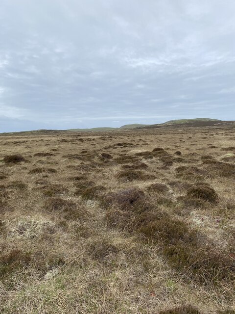
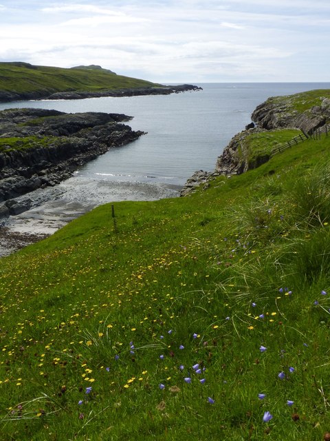
Tormisdale is a small village located in the Argyllshire region of Scotland. Situated on the west coast of the country, it lies within the administrative area of Argyll and Bute. Tormisdale is surrounded by picturesque landscapes, with rolling hills, lush greenery, and stunning views of the nearby Loch Long.
The village itself is characterized by its quaint and charming atmosphere. It is home to a small population, primarily consisting of locals who have deep-rooted connections to the area. The community is known for its friendly and welcoming nature, making it a pleasant place to visit or reside.
Tormisdale offers limited amenities, with a few local shops and small businesses serving the basic needs of its residents. However, for more extensive facilities and services, nearby towns such as Lochgilphead and Tarbert are easily accessible.
The village's location in the Argyllshire region provides ample opportunities for outdoor activities and exploration. The surrounding area is known for its natural beauty, offering opportunities for hiking, fishing, and wildlife spotting. The nearby Loch Long is particularly popular for its scenic boat tours and water activities.
In summary, Tormisdale is a charming village nestled within the picturesque landscapes of Argyllshire. With its friendly community, stunning natural surroundings, and access to outdoor activities, it is an ideal destination for those seeking a peaceful and scenic getaway in Scotland.
If you have any feedback on the listing, please let us know in the comments section below.
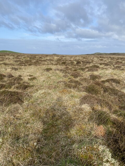
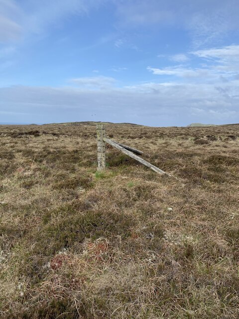
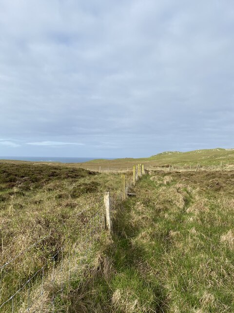
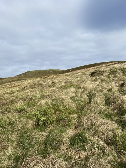
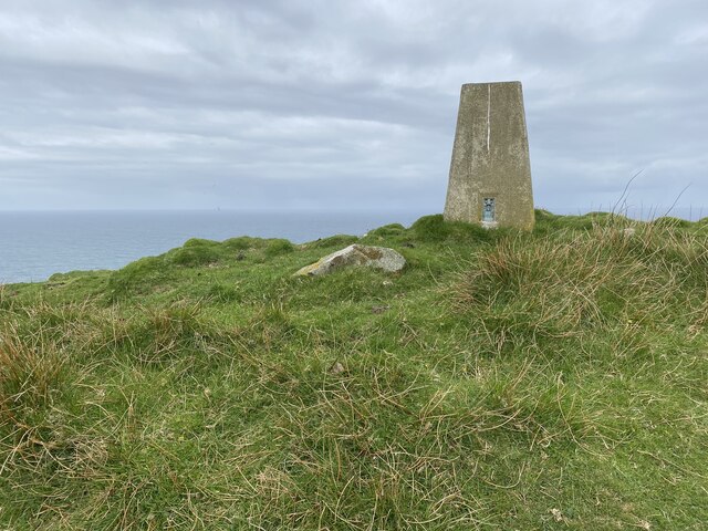
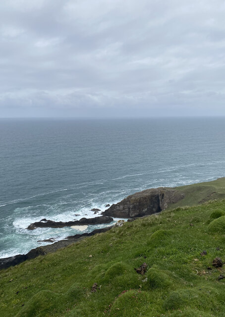
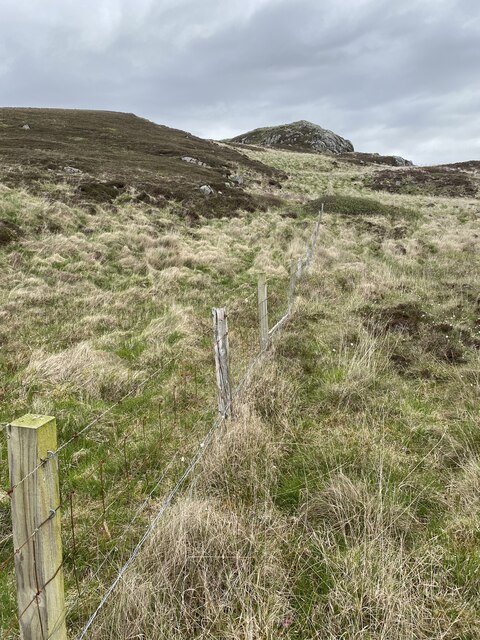
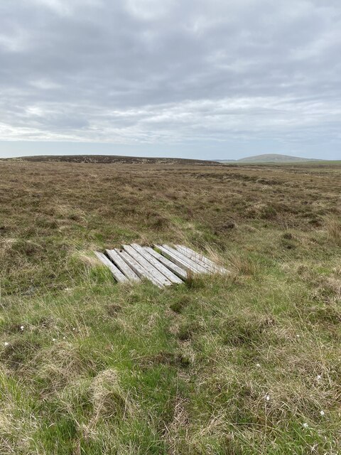
Tormisdale Images
Images are sourced within 2km of 55.740466/-6.4729794 or Grid Reference NR1958. Thanks to Geograph Open Source API. All images are credited.


Tormisdale is located at Grid Ref: NR1958 (Lat: 55.740466, Lng: -6.4729794)
Unitary Authority: Argyll and Bute
Police Authority: Argyll and West Dunbartonshire
What 3 Words
///notebook.marathons.tragedy. Near Port Charlotte, Argyll & Bute
Nearby Locations
Related Wikis

Rinns of Islay
The Rinns of Islay (Scottish Gaelic: Na Roinn Ìleach; alternative English spelling Rhinns of Islay) is an area on the west of the island of Islay in the...

RAF Kilchiaran
RAF Kilchiaran was a Royal Air Force radar station situated on the Isle of Islay in Scotland. It was originally active from 1940-1945. In 1954, the base...

Nerabus
Nerabus (otherwise Nereabolls) is a hamlet in the west of the isle of Islay in Scotland. The vicinity is noted for its scenic qualities and diverse birdlife...

Kilchoman
Kilchoman ( kil-(K)HOM-ən; Scottish Gaelic: Cill Chomain [kʲʰiːʎ ˈxɔmɛɲ]) is a small settlement and large parish on the Scottish island of Islay, within...
Nearby Amenities
Located within 500m of 55.740466,-6.4729794Have you been to Tormisdale?
Leave your review of Tormisdale below (or comments, questions and feedback).