Tooting Bec Common
Settlement in Surrey
England
Tooting Bec Common

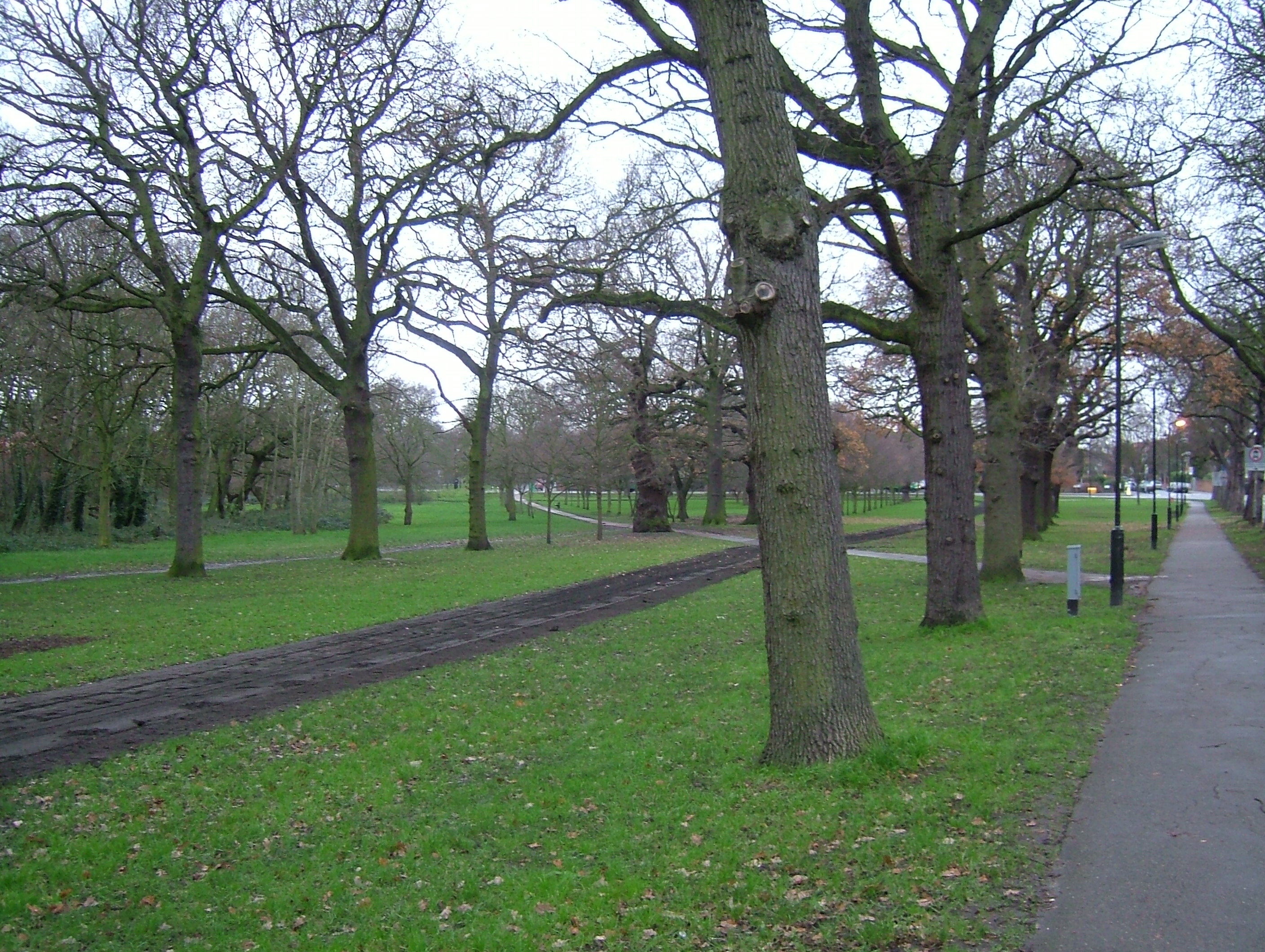
Tooting Bec Common is a large public park located in the London Borough of Wandsworth, within the county of Surrey, England. Spanning over 220 acres, it is one of the largest open spaces in South London and is known for its picturesque landscapes and recreational facilities.
The common is characterized by its undulating terrain, featuring a mix of grassy fields, woodland areas, and a large lake known as Tooting Bec Lido. The Lido is one of the most prominent features of the common, offering a much-loved outdoor swimming facility that spans 91 meters in length, making it the largest freshwater pool in the United Kingdom.
The common is a popular destination for locals and visitors alike, providing ample space for various outdoor activities such as jogging, cycling, picnicking, and team sports. It is also home to several sports facilities, including tennis courts, a basketball court, and a football pitch. Moreover, the common hosts a yearly fireworks display and various community events throughout the year.
Nature enthusiasts can enjoy the diverse wildlife found within the common, including a variety of bird species, squirrels, and occasional deer sightings. The park is well-maintained with ample seating areas, well-defined paths for walks, and designated dog-friendly zones.
Tooting Bec Common benefits from its convenient location, being surrounded by residential areas, and is easily accessible by public transportation. Its tranquil atmosphere, natural beauty, and range of recreational amenities make it a cherished green space for the local community and a popular destination for visitors seeking a peaceful retreat in Surrey.
If you have any feedback on the listing, please let us know in the comments section below.
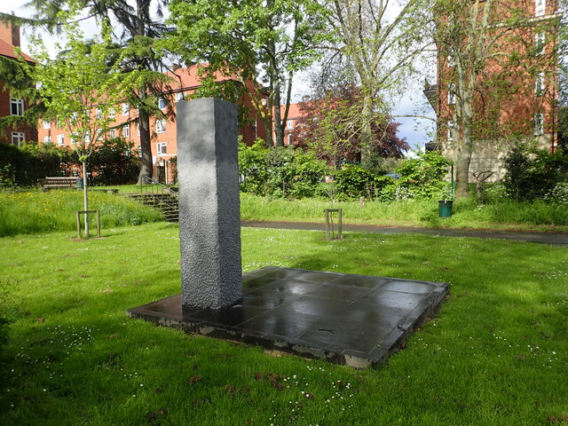
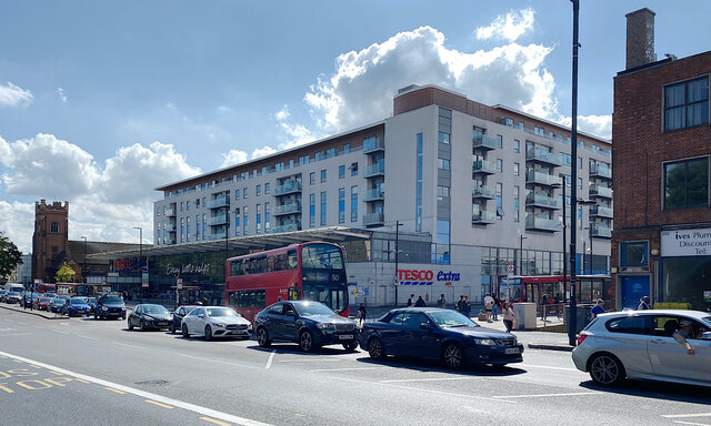
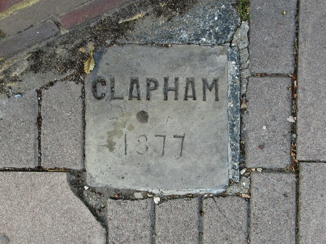
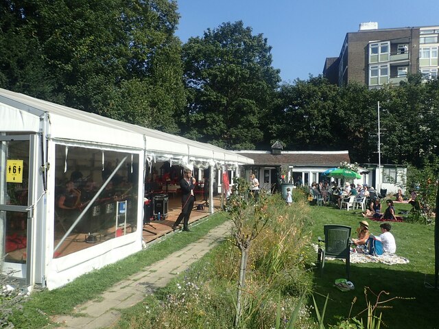
Tooting Bec Common Images
Images are sourced within 2km of 51.433847/-0.15202592 or Grid Reference TQ2872. Thanks to Geograph Open Source API. All images are credited.


Tooting Bec Common is located at Grid Ref: TQ2872 (Lat: 51.433847, Lng: -0.15202592)
Unitary Authority: Wandsworth
Police Authority: Metropolitan
What 3 Words
///waddle.shower.liability. Near Earlsfield, London
Nearby Locations
Related Wikis
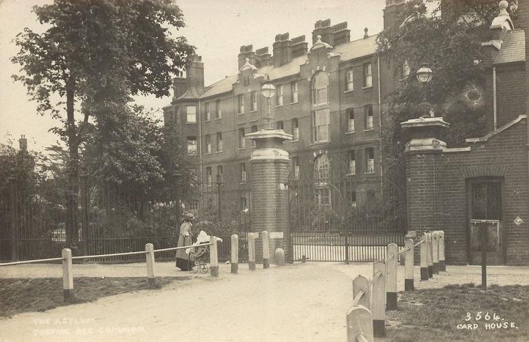
Tooting Bec Hospital
Tooting Bec Hospital was a mental facility in Tooting Bec, London, England. == History == This facility was one of the establishments commissioned by the...

Tooting Priory
Tooting Priory or Tooting Bec Priory was a priory in Tooting, now in the London Borough of Wandsworth. It was dissolved before 1315 and the land was granted...
Tooting Commons
The Tooting Commons consist of two adjacent areas of common land lying between Balham, Streatham and Tooting, in south west London: Tooting Bec Common...
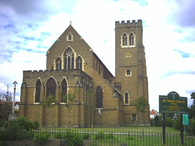
All Saints Church, Tooting
All Saints Church is a Church of England parish church in Tooting, Wandsworth, Greater London. The church was designed by Temple Moore and is a grade II...
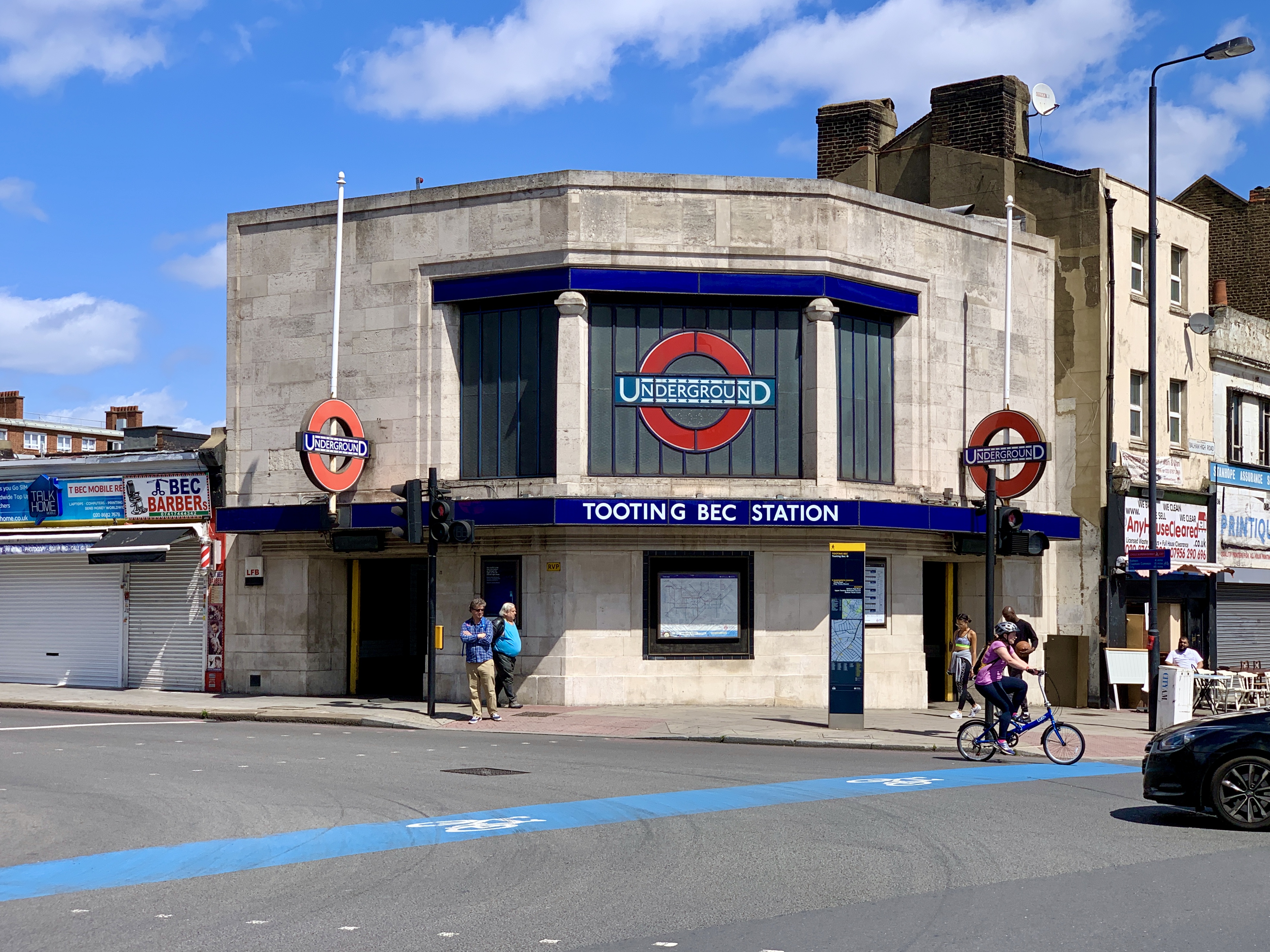
Tooting Bec tube station
Tooting Bec, originally Trinity Road (Tooting Bec), is a London Underground station in Tooting, South London. The station is on the Northern line, between...
Self Transcendence 24 Hour Track Race London
The Self Transcendence 24 Hour Track Race London (popularly known as the Tooting 24) is an Ultramarathon race in London, England. The run takes place annually...
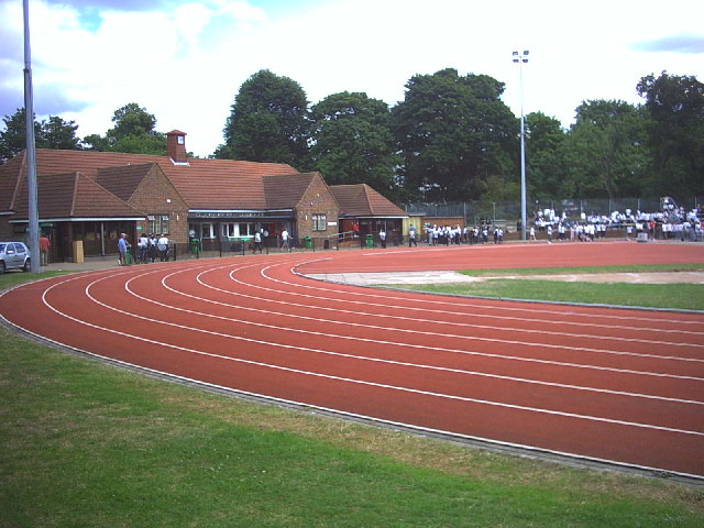
Tooting Bec Athletics Track
Tooting Bec Athletics Track & Gym is an athletics stadium in Tooting Common, near Tooting Bec, Wandsworth, southwest London, England. It is located on...
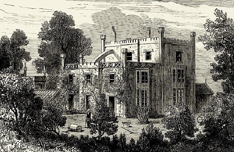
The Priory, Balham
The Priory, 225 Bedford Hill, Balham, London is a grade II listed building, and the scene in 1876 of the death by poisoning of the lawyer Charles Bravo...
Nearby Amenities
Located within 500m of 51.433847,-0.15202592Have you been to Tooting Bec Common?
Leave your review of Tooting Bec Common below (or comments, questions and feedback).