Tonfanau
Settlement in Merionethshire
Wales
Tonfanau
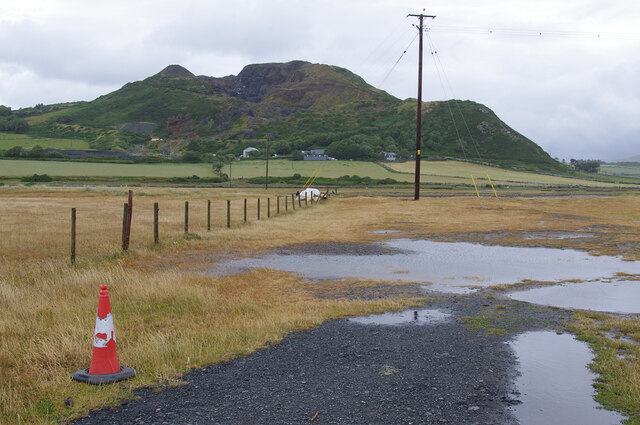
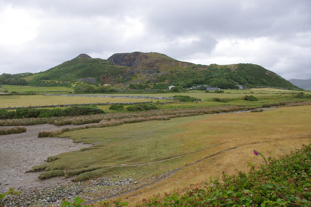
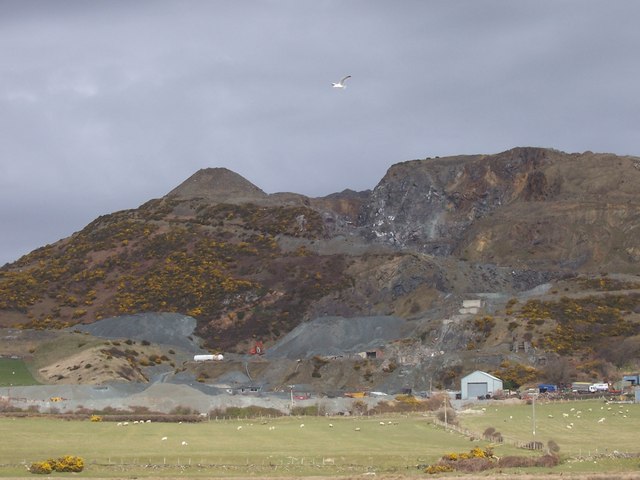
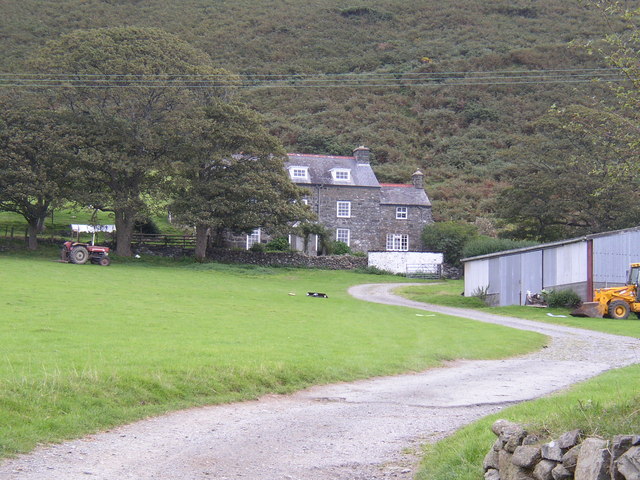
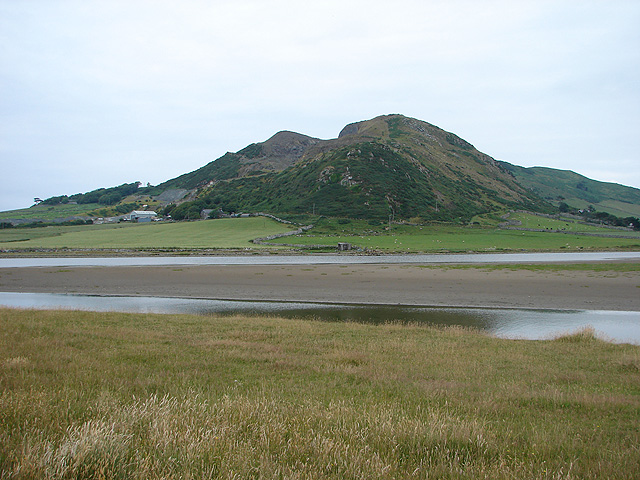
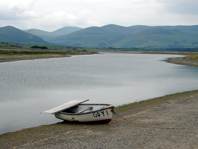
Tonfanau is a small village situated on the west coast of Wales, within the county of Merionethshire. The village is located approximately 5 miles north of Tywyn and 10 miles south of Barmouth. With its picturesque setting between the rolling hills and the Irish Sea, Tonfanau offers a tranquil and idyllic environment.
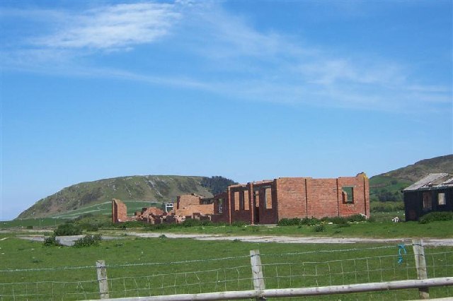
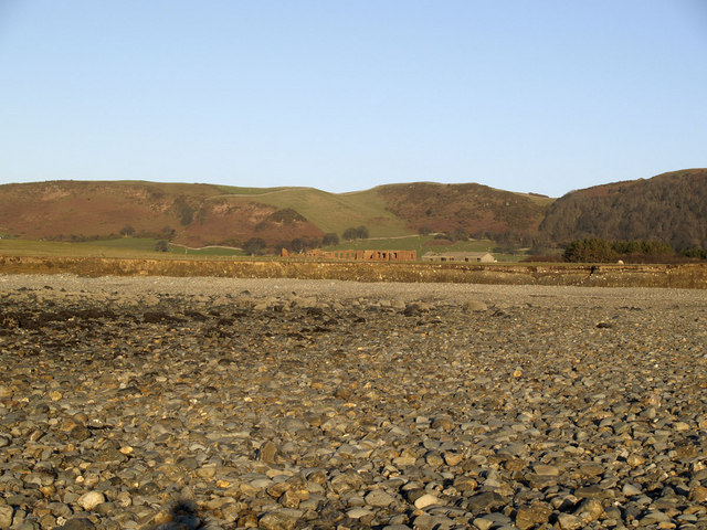
Historically, Tonfanau was known for its military camp, which was established during World War II. The camp served as a training ground for British and American soldiers, and remnants of the camp can still be seen today. In recent years, the camp has been transformed into a residential area, with a mix of modern houses and converted military buildings.
The village itself is relatively small, with a population of around 500 residents. It consists mainly of residential properties, along with a few local businesses and amenities. The village boasts a primary school, a community center, and a chapel, which serves as a focal point for the community.
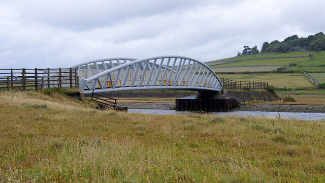
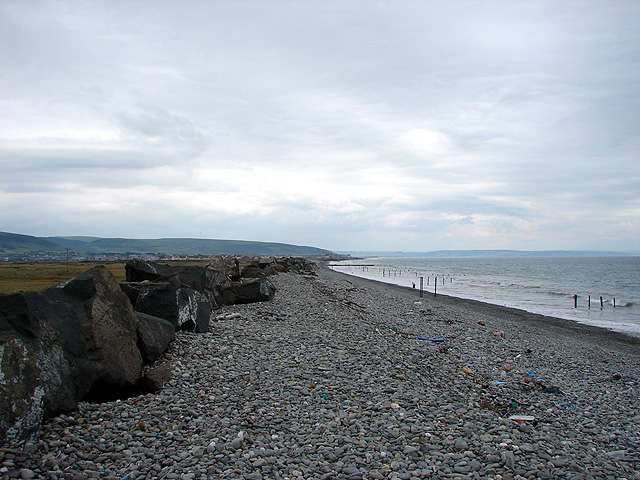
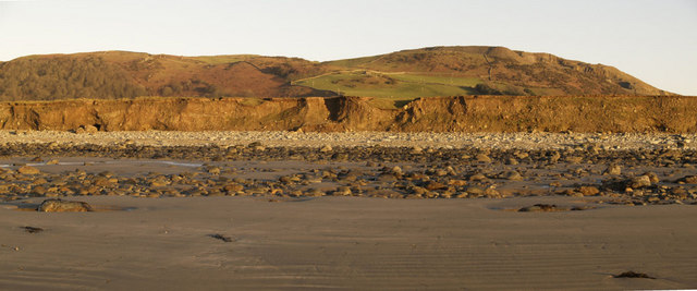
Tonfanau is surrounded by stunning natural beauty, making it a popular destination for outdoor enthusiasts. The nearby sandy beaches, such as Tywyn Beach and Barmouth Beach, attract visitors who enjoy swimming, sunbathing, and water sports. The picturesque countryside offers various walking and cycling routes, allowing visitors to explore the scenic landscapes and enjoy the fresh sea air.
Overall, Tonfanau provides a peaceful and charming retreat for residents and visitors alike, with its rich history, natural beauty, and close-knit community.
If you have any feedback on the listing, please let us know in the comments section below.
Tonfanau Images
Images are sourced within 2km of 52.613637/-4.1233332 or Grid Reference SH5603. Thanks to Geograph Open Source API. All images are credited.


Tonfanau is located at Grid Ref: SH5603 (Lat: 52.613637, Lng: -4.1233332)
Unitary Authority: Gwynedd
Police Authority: North Wales
What 3 Words
///shameless.retrain.difficult. Near Tywyn, Gwynedd
Nearby Locations
Related Wikis

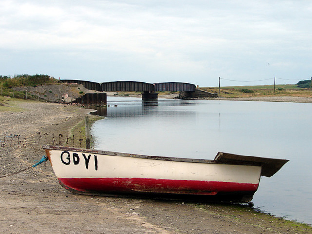
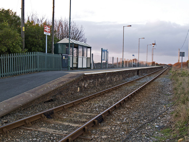
Tonfanau railway station
Tonfanau railway station is a railway stop that serves Tonfanau in Gwynedd, Wales. The station is located alongside the ruins of the army base it once...

Tonfanau
Tonfanau is a coastal village in the community of Llangelynnin, in Gwynedd (formerly Merionethshire), Wales. It is 2.4 miles (3.9 km) north of Tywyn. The...

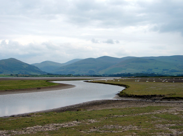
River Dysynni
The River Dysynni (Welsh: Afon Dysynni) is a river in mid Wales. Its source is the Tal-y-llyn Lake (Welsh: Llyn Mwyngil) just south of the Cadair Idris...

Sarn y Bwch
Sarn y Bwch, (Welsh for 'buck's causeway'), is one of three parallel reefs extending beneath the sea into Cardigan Bay from the west coast of Wales. The...
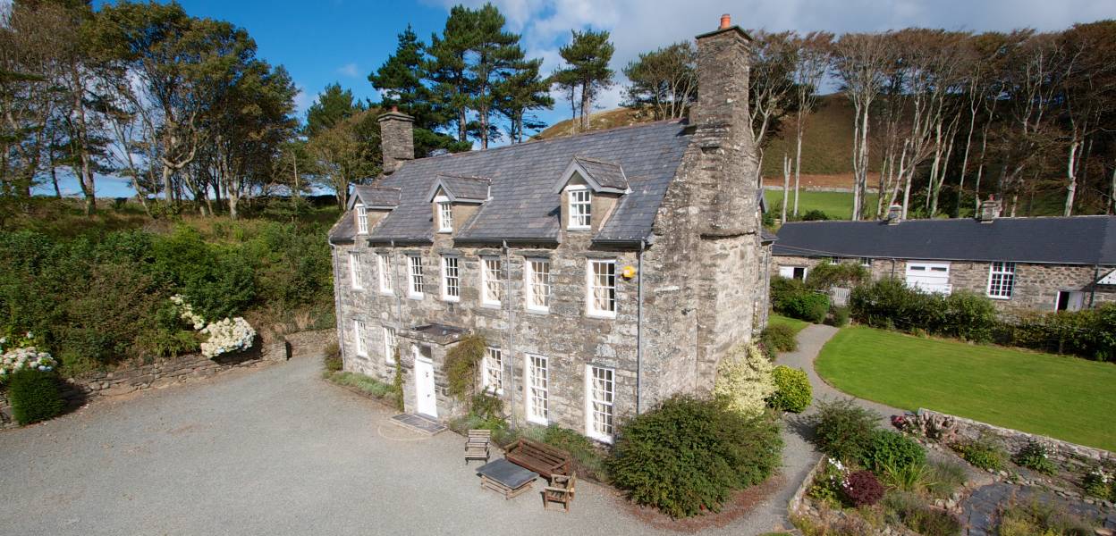
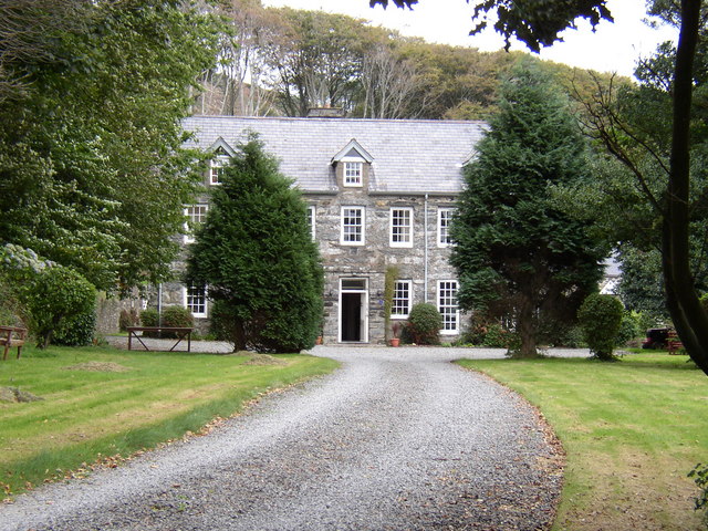
Llanfendigaid Estate
Llanfendigaid Estate, located on the Cardigan Bay coast of southern Gwynedd (formerly Merioneth: Welsh: Meirionnydd, Sir Feirionydd), near Tywyn in north...

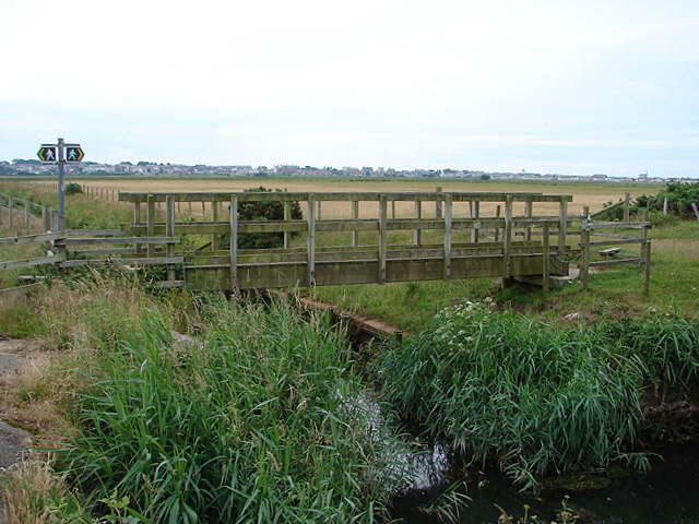
Broad Water
Broad Water, or Broadwater (Welsh: Aber Dysynni) is a salt water lagoon near Tywyn, Wales formed from the silted up estuary of the River Dysynni. In the...
RAF Towyn
Royal Air Force Towyn, or more simply RAF Towyn, is a former Royal Air Force airfield located 10.3 miles (16.6 km) west of Machynlleth, Powys and 12.2...

Llangelynnin, Gwynedd
Llangelynnin (; also Llangelynin) is a small village and community near Tywyn, Gwynedd, Wales. Although the village is usually known as Llangelynnin in...
Nearby Amenities
Located within 500m of 52.613637,-4.1233332Have you been to Tonfanau?
Leave your review of Tonfanau below (or comments, questions and feedback).