Thorpe Cross
Settlement in Essex Tendring
England
Thorpe Cross
Thorpe Cross is a small village located in the county of Essex, England. Situated approximately 10 miles northwest of the county town of Chelmsford, it falls within the administrative district of Uttlesford. The village is nestled amidst picturesque countryside, with stunning views of the surrounding landscape.
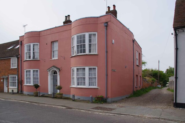
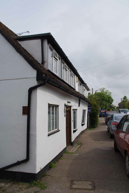
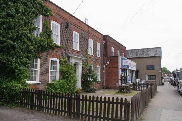
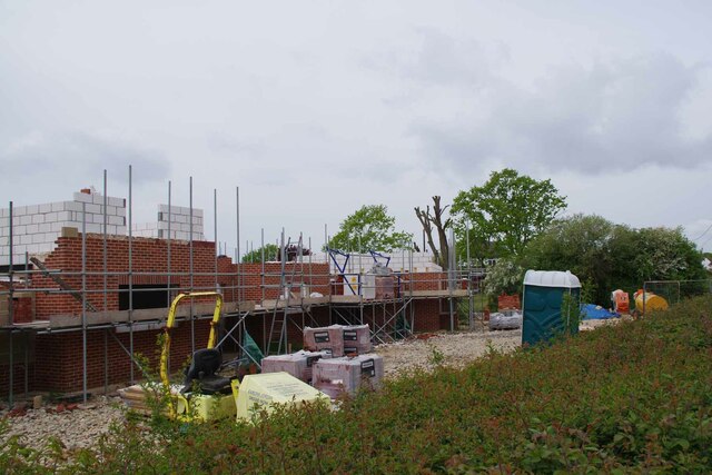
With a population of around 400 residents, Thorpe Cross maintains a close-knit community feel. The village consists primarily of traditional English cottages, built with a charming mix of red brick and timber framing. The architecture reflects the village's rich history, with some properties dating back several centuries.
Thorpe Cross benefits from a range of amenities to cater to residents' needs. These include a local pub, providing a friendly gathering place for villagers, as well as a primary school that serves the local community. For further amenities, residents can easily access nearby towns, such as Chelmsford, for a wider range of shops, restaurants, and services.
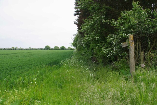
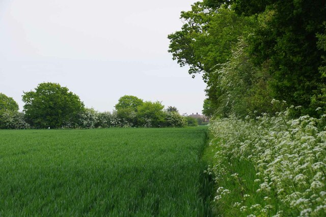
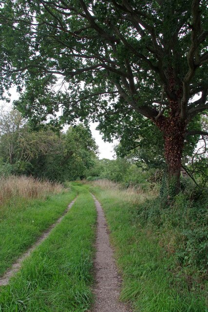
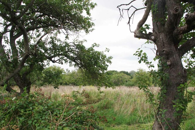
The village offers an abundance of natural beauty, with several walking paths and trails meandering through the surrounding countryside. The area is known for its rolling hills, lush green fields, and meandering rivers. Outdoor enthusiasts can enjoy activities such as hiking, cycling, and fishing in the nearby countryside.
Overall, Thorpe Cross presents an idyllic and tranquil setting for those seeking a peaceful village lifestyle. Its rich history, welcoming community, and beautiful surroundings make it an attractive place to live or visit in Essex.
If you have any feedback on the listing, please let us know in the comments section below.
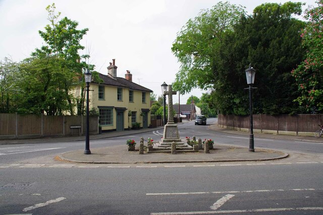
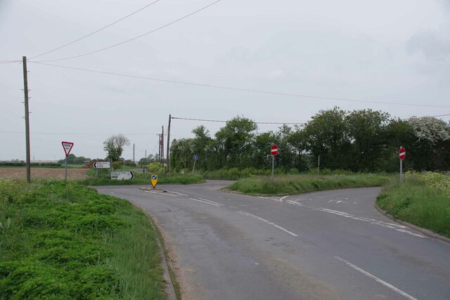
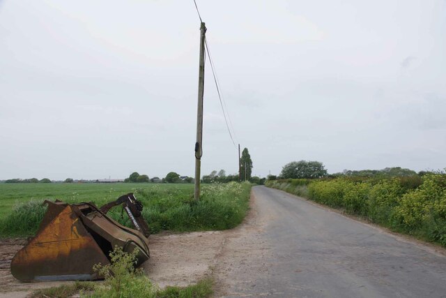
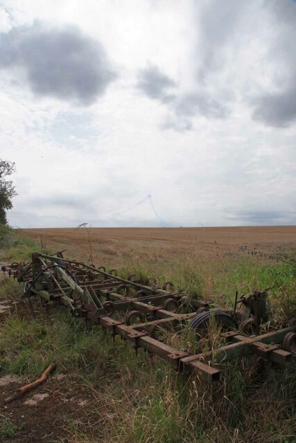
Thorpe Cross Images
Images are sourced within 2km of 51.851121/1.1875108 or Grid Reference TM1921. Thanks to Geograph Open Source API. All images are credited.


Thorpe Cross is located at Grid Ref: TM1921 (Lat: 51.851121, Lng: 1.1875108)
Administrative County: Essex
District: Tendring
Police Authority: Essex
What 3 Words
///servants.mondays.pursue. Near Thorpe le Soken, Essex
Nearby Locations
Related Wikis

Thorpe Hall (Thorpe-le-Soken)
Thorpe Hall was a manor house built in the Georgian style at Thorpe-le-Soken in Essex, England. == History == The Thorpe Manor estate belonged to the Dean...

Thorpe-le-Soken
Thorpe-le-Soken is a village and civil parish in the Tendring district of Essex, England. It is located east of Colchester, west of Walton-on-the-Naze...
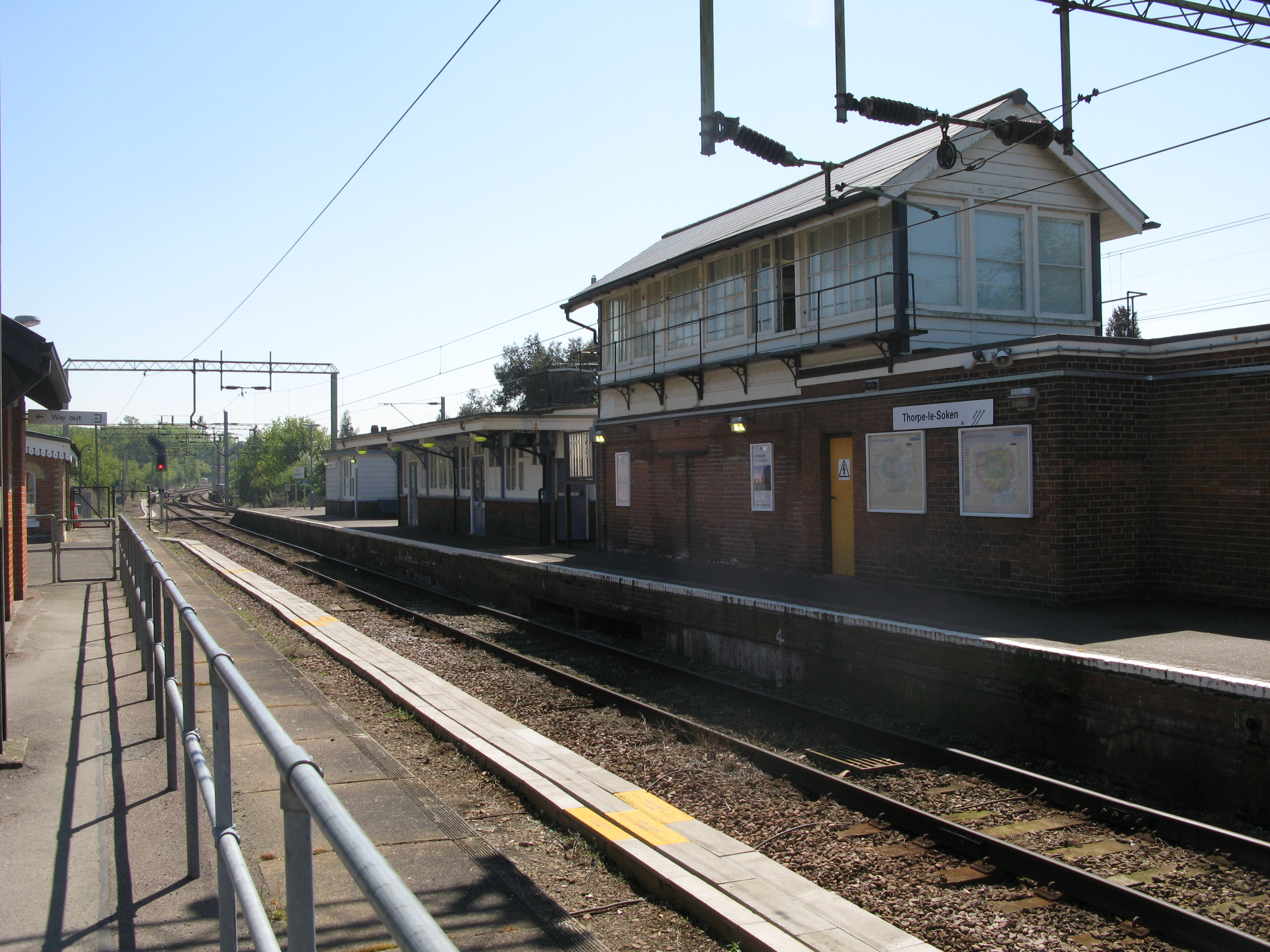
Thorpe-le-Soken railway station
Thorpe-le-Soken railway station is on the Sunshine Coast Line, a branch of the Great Eastern Main Line, in the East of England, serving the village of...

Landermere Wharf
Landermere Wharf, sometimes called Landermere Quay, is a former dock area suitable for lying at anchor in the Tendring district of Essex, England.The wharf...
Nearby Amenities
Located within 500m of 51.851121,1.1875108Have you been to Thorpe Cross?
Leave your review of Thorpe Cross below (or comments, questions and feedback).