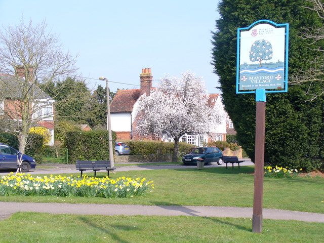
Mayford
Settlement in Surrey Woking
England
Mayford
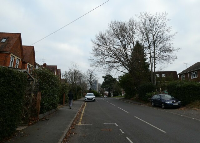
Mayford is a small village located in the county of Surrey, England. Situated approximately 2 miles northwest of Woking, Mayford is a quiet and picturesque residential area with a population of around 3,000 people.
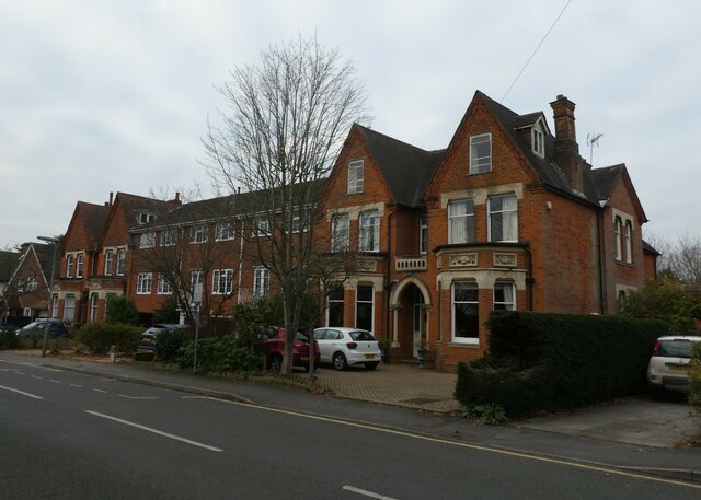
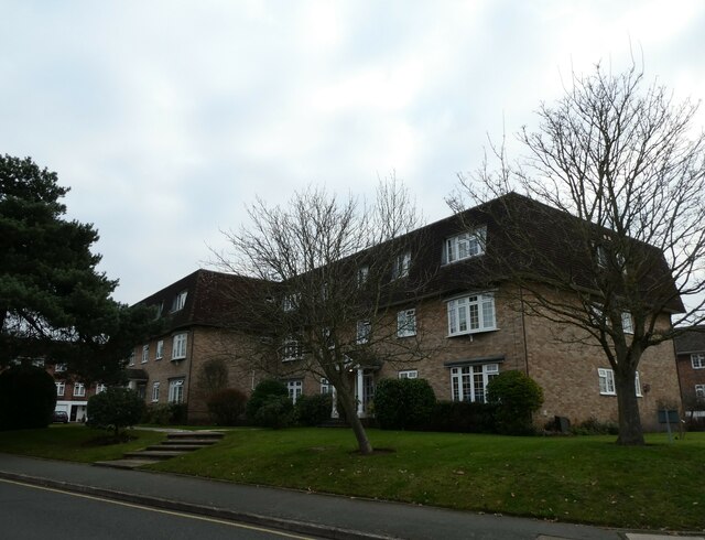
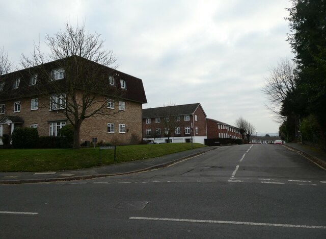
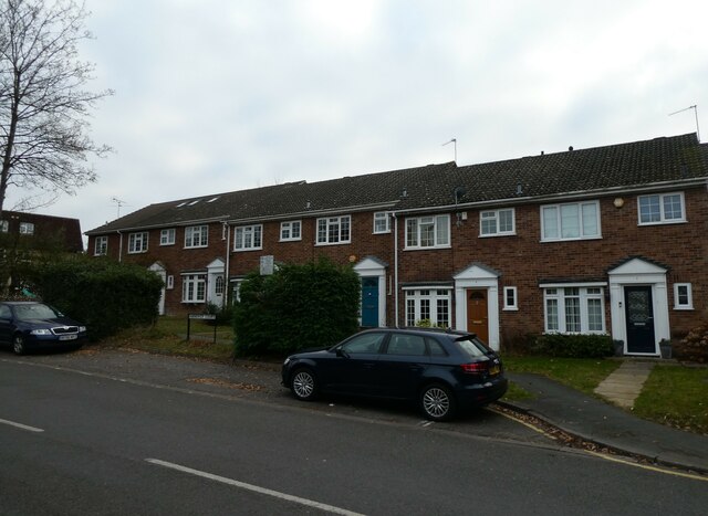
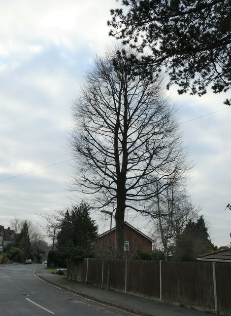
The village is known for its charming character and close-knit community. It is predominantly a residential area, consisting of a mix of traditional cottages and modern houses. The streets are lined with well-manicured gardens, and there are several green spaces and parks that provide a peaceful atmosphere for residents.
Mayford is well-connected with nearby towns and cities. The M3 motorway is easily accessible, providing convenient links to London and other major cities. The village is served by regular bus services, making it easy to access the surrounding areas.
There are a few local amenities in Mayford, including a village shop, a post office, and a pub, where residents can socialize and unwind. For more extensive shopping and entertainment options, the larger town of Woking is just a short distance away. Woking also offers a range of educational facilities, including primary and secondary schools.
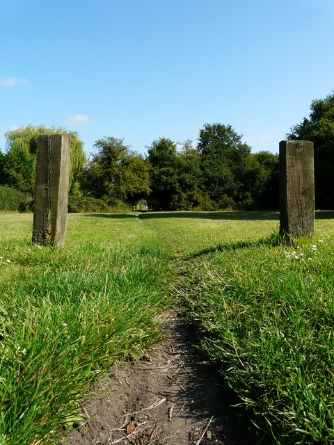
The surrounding countryside offers plenty of opportunities for outdoor activities. The nearby Horsell Common is a popular spot for walking, cycling, and horse riding. The Basingstoke Canal, which runs through Mayford, provides scenic views and is ideal for boating and fishing enthusiasts.
Overall, Mayford offers a peaceful and idyllic setting for residents, with its beautiful surroundings, friendly community, and convenient location.
If you have any feedback on the listing, please let us know in the comments section below.
Mayford Images
Images are sourced within 2km of 51.295428/-0.57101 or Grid Reference SU9956. Thanks to Geograph Open Source API. All images are credited.


Mayford is located at Grid Ref: SU9956 (Lat: 51.295428, Lng: -0.57101)
Administrative County: Surrey
District: Woking
Police Authority: Surrey
What 3 Words
///goods.cloud.frost. Near Woking, Surrey
Nearby Locations
Related Wikis
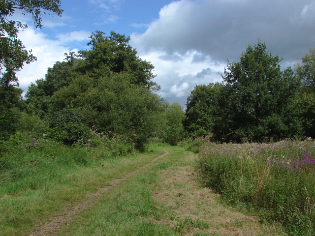
Mayford Meadows
Mayford Meadows is a 4.9-hectare (12-acre) Local Nature Reserve on the southern outskirts of Woking in Surrey. It is owned and managed by Woking Borough...
Mayford
Mayford is a village in Woking borough of the county of Surrey, England. It is 3 miles south of Woking on Egley Road, part of the A320 between Woking and...

Hoe Valley School
Hoe Valley School is an outstanding new co-educational, comprehensive, secondary school in Woking, England. The school was established in 2014, and opened...
Westfield Common
Westfield Common is an area of land in Westfield, Woking that is registered common land. == Attributes == Westfield Common has boundaries that have been...
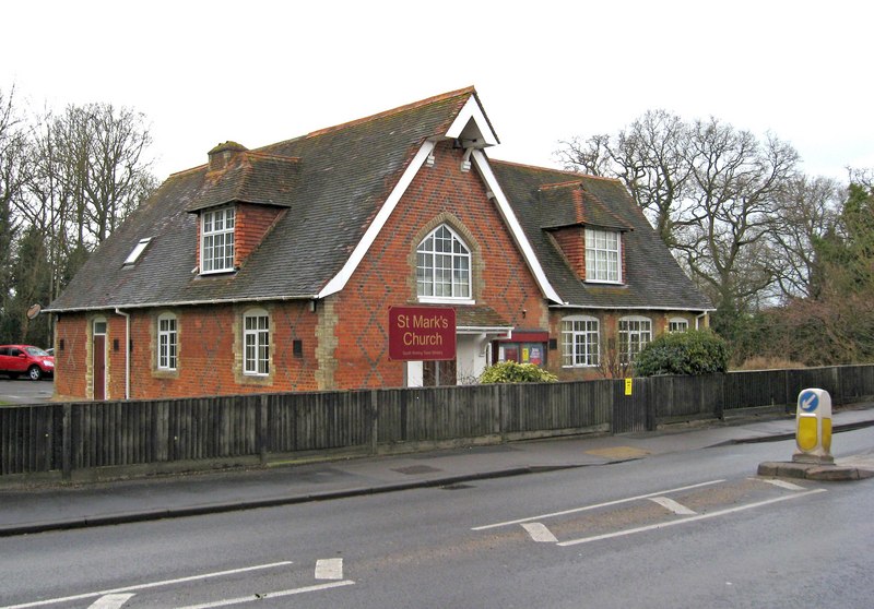
St Mark's Church, Woking
St Mark's Church is located in Westfield, Woking, England. The church is in the Parish of the South Woking Team Ministry and the Diocese of Guildford....

Westfield, Woking, Surrey
Westfield is an area in Woking borough, Surrey. Westfield marks the southern boundary of Woking altering from English archetypal suburban homes in the...

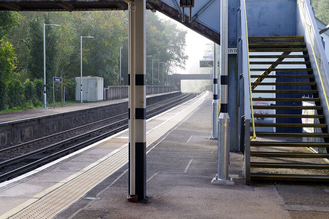
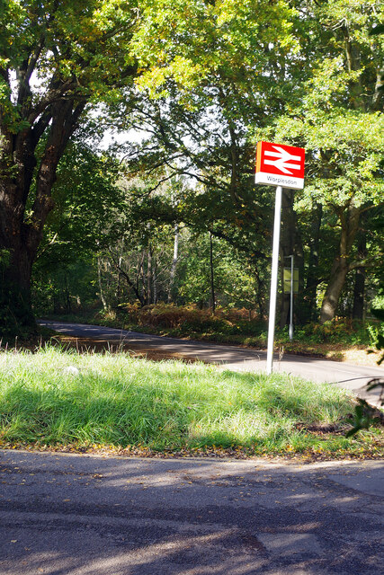
Worplesdon railway station
Worplesdon railway station is a railway station in the Woking district of Surrey, England. The station is located between Woking and Guildford stations...

Smart's and Prey Heaths
Smart's and Prey Heaths is a 39-hectare (96-acre) biological Site of Special Scientific Interest south-west of Woking in Surrey.These mainly damp heaths...
Nearby Amenities
Located within 500m of 51.295428,-0.57101Have you been to Mayford?
Leave your review of Mayford below (or comments, questions and feedback).