Tartlett End

Settlement in Bedfordshire

England

Tartlett End

Marston Hill entering Cranfield 30 limit
Marston Hill entering Cranfield 30 limit Credit: Robin Webster

Tartlett End is a small village located in the county of Bedfordshire, England. Situated approximately 10 miles northwest of the town of Bedford, it is nestled amidst picturesque countryside and offers a tranquil and rural setting to its residents.

With a population of around 500 people, Tartlett End is a close-knit community where neighbors often know one another. The village is characterized by its charming and traditional architecture, with many buildings dating back to the 18th and 19th centuries. The village center features a quaint parish church, St. Mary's, which stands as a prominent landmark in the area.

Despite its small size, Tartlett End benefits from a range of amenities. There is a local pub, The Red Lion, which is a popular spot for residents and visitors alike to socialize and enjoy a meal or a pint. The village also has a primary school, providing education for the local children.

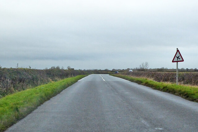
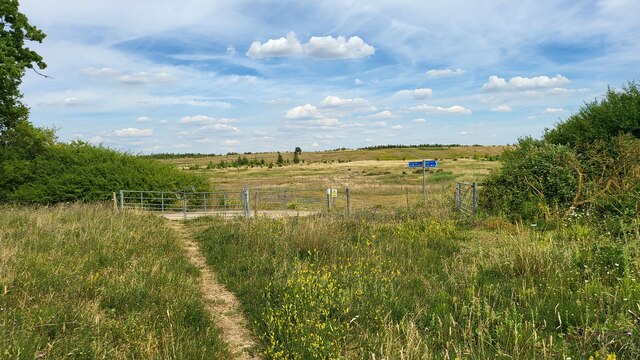
The surrounding countryside offers ample opportunities for outdoor activities and exploration. The area is crisscrossed with footpaths and bridleways, making it ideal for walking, cycling, and horse riding enthusiasts. Tartlett End is also within close proximity to the River Great Ouse, providing opportunities for fishing and boating.

Overall, Tartlett End offers a peaceful and idyllic setting for those seeking a quiet and rural lifestyle, while still being within easy reach of larger towns and cities in Bedfordshire.

If you have any feedback on the listing, please let us know in the comments section below.
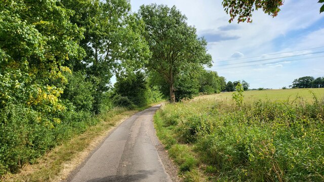
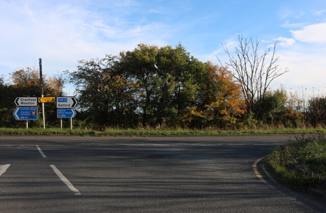
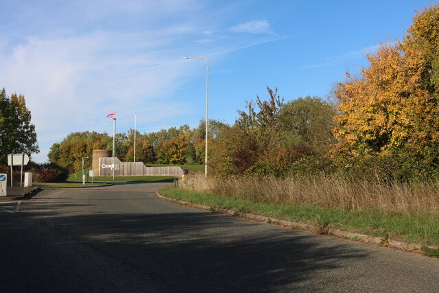
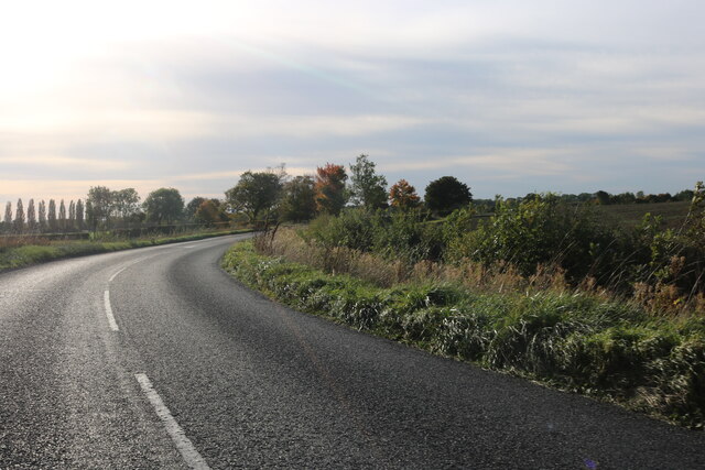
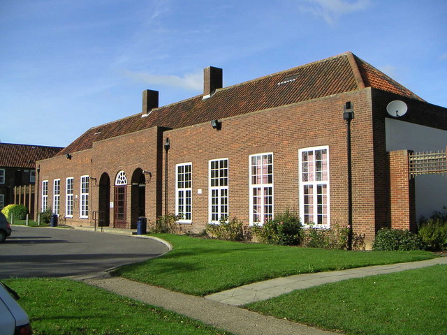
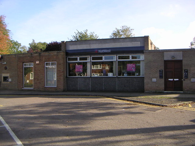
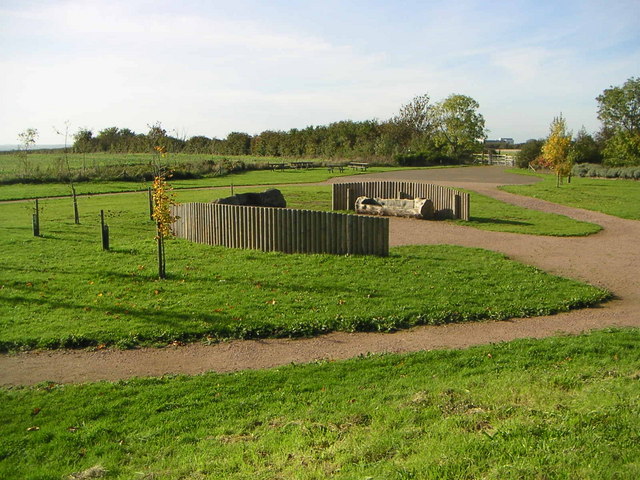
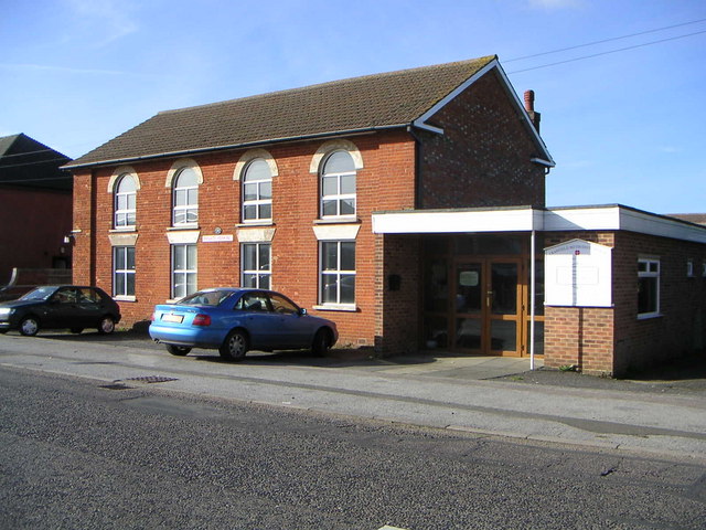
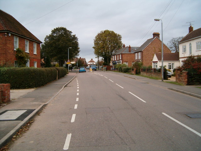
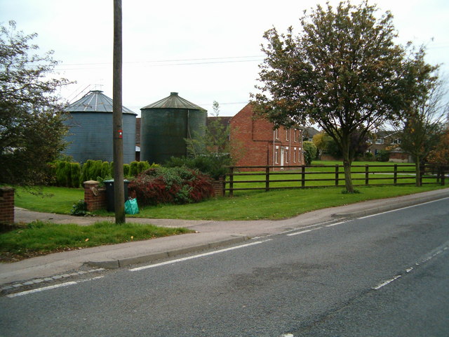
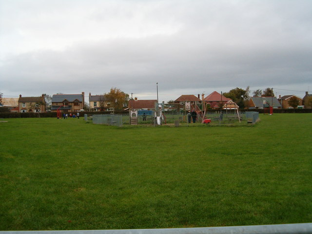
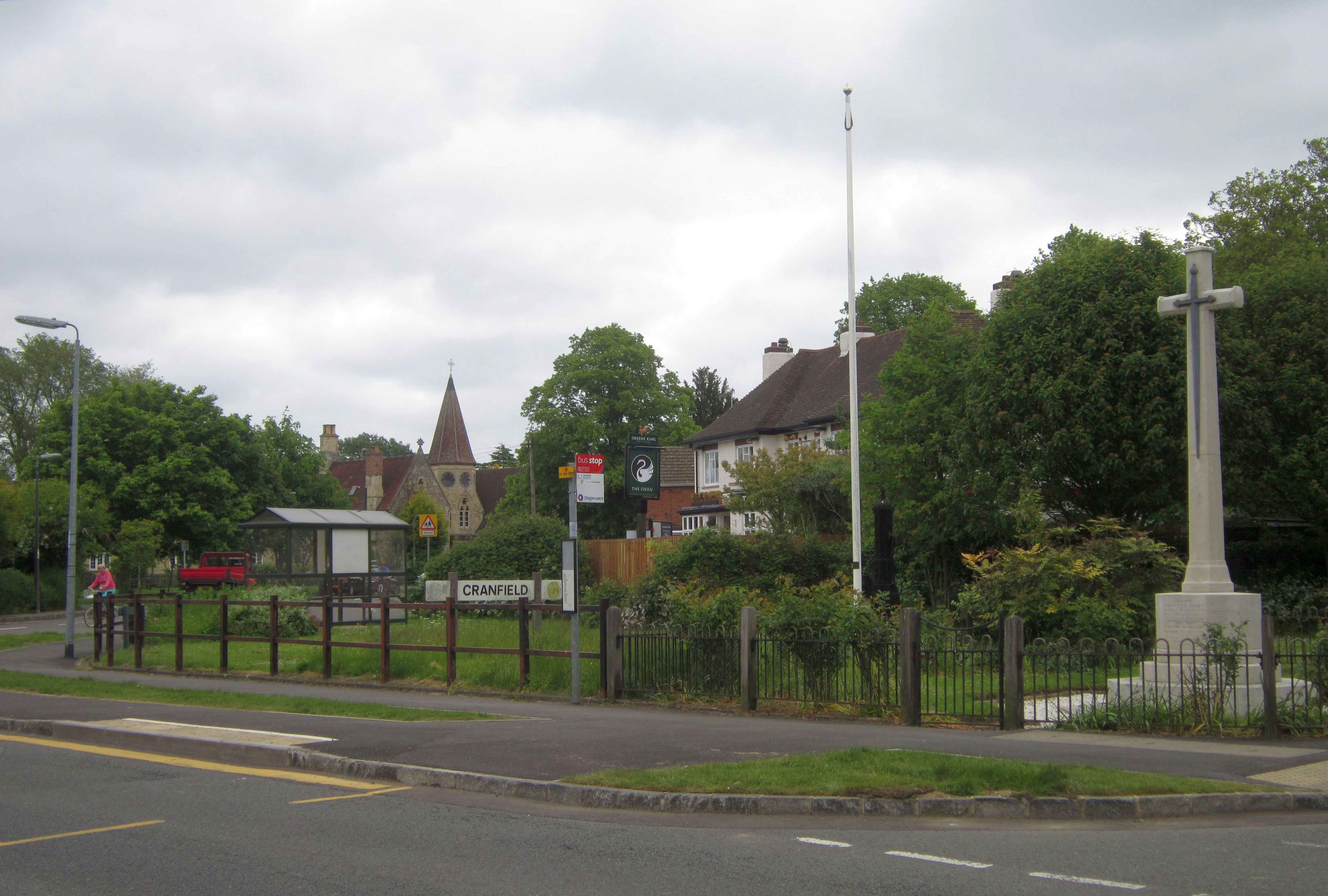
Tartlett End Images

Images are sourced within 2km of 52.067906/-0.60603456 or Grid Reference SP9541. Thanks to Geograph Open Source API. All images are credited.

Marston Hill entering Cranfield 30 limit
Crawley Road, Cranfield The road passes the end of the Cranfield airfield runway. The sign, on the wrong side of the road, has been reversed by wind or some other agency, as the runway centreline is behind the camera.
Crawley Road, Cranfield
The road passes the end of the Cranfield airfield runway. The sign, on the wrong side of the road, has been reversed by wind or some other agency, as the runway centreline is behind the camera.
War Memorial, Cranfield Situated on the corner of the High Street and Church Walk.
War Memorial, Cranfield
Situated on the corner of the High Street and Church Walk.
The Cross Keys public house Cranfield
Brogborough former land fill site The large area is returning to nature well.
Brogborough former land fill site
The large area is returning to nature well.
Wood End road Dead end road which is part of the John Bunyan Trail.
Wood End road
Dead end road which is part of the John Bunyan Trail.
Junction on Cranfield Road On the southern edge of the airport.
Junction on Cranfield Road
On the southern edge of the airport.
Roundabout at the entrance to Cranfield University
Cranfield Road
Cranfield Road
Lanchester Hall, Cranfield University A reception building on the Cranfield University campus for the student accommodation.
Lanchester Hall, Cranfield University
A reception building on the Cranfield University campus for the student accommodation.
Natwest Bank, Cranfield University A Natwest Bank branch located on the Cranfield University campus.
Natwest Bank, Cranfield University
A Natwest Bank branch located on the Cranfield University campus.
Cranfield Millennium Park A small reclaimed site that was previously used as an industrial depot was turned into a park to help increase the visual aspect of the area as this is the main entrance for people coming into the village.
Cranfield Millennium Park
A small reclaimed site that was previously used as an industrial depot was turned into a park to help increase the visual aspect of the area as this is the main entrance for people coming into the village.
Cranfield Methodist Church Meeting Hall & Methodist Church located in Cranfield along the main road.
Cranfield Methodist Church
Meeting Hall & Methodist Church located in Cranfield along the main road.
Cranfield The main road running through Cranfield village.
Cranfield
The main road running through Cranfield village.
East End, Cranfield Where rural life and village life meet.  A couple of silos in the middle of a row of houses.
East End, Cranfield
Where rural life and village life meet. A couple of silos in the middle of a row of houses.
Broad Green, Cranfield A children's play area in the middle of the village green.
Broad Green, Cranfield
A children's play area in the middle of the village green.
Cranfield United Sportsground on the edge of Cranfield village.
Cranfield United
Sportsground on the edge of Cranfield village.
Round the back Looking across at the back of the high street in Cranfield from Lodge Lane.
Round the back
Looking across at the back of the high street in Cranfield from Lodge Lane.
Show me another place!

Tartlett End is located at Grid Ref: SP9541 (Lat: 52.067906, Lng: -0.60603456)

Unitary Authority: Central Bedfordshire

Police Authority: Bedfordshire

What 3 Words

///contexts.smuggled.remake. Near Cranfield, Bedfordshire

Nearby Locations

West End Tartlett End

Related Wikis

Church of St Peter & St Paul, Cranfield

Church of St Peter & St Paul is a Grade I listed church in Cranfield, Bedfordshire, England. It became a listed building on 23 January 1961. == See... ==
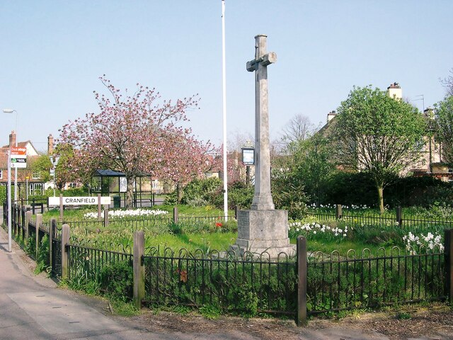
Cranfield

Cranfield is a village and civil parish in the west of Bedfordshire, England, situated between Bedford and Milton Keynes. It had a population of 4,909...

Cranfield Court

Cranfield Court was a country house in Cranfield, Bedfordshire, England. It belonged to the Harter family. The last house at the site was Elizabethan,...

Cranfield Airport

Cranfield Airport (ICAO: EGTC) is an airfield just outside the village of Cranfield, in Bedfordshire, England. It is 7 NM (13 km; 8.1 mi) south-west of...

Nearby Amenities

Located within 500m of 52.067906,-0.60603456
Turning Circle
Turning Circle: square
Lat/Long: 52.0688139/-0.6104092
Traffic Calming: table
Lat/Long: 52.0685815/-0.6086009
Turning Circle
Turning Circle: hammer
Lat/Long: 52.0706497/-0.608149
Turning Circle
Turning Circle: knuckle
Lat/Long: 52.0709962/-0.6088152
Cranfield
Place: village
Wikidata: Q1522979
Wikipedia: en:Cranfield
Lat/Long: 52.0690205/-0.6079317
Turning Circle
Turning Circle: knuckle
Lat/Long: 52.0675607/-0.6085699
Turning Circle
Turning Circle: square
Lat/Long: 52.0671851/-0.6123071
Tartlett End
Place: locality
Source: OS_OpenData_StreetView
Lat/Long: 52.0675376/-0.6044977
Crossing
Crossing: uncontrolled
Crossing Island: no
Crossing Ref: zebra
Source: bing
Tactile Paving: yes
Lat/Long: 52.0716112/-0.60599
Turning Circle
Turning Circle: knuckle
Lat/Long: 52.0695803/-0.6065717
Traffic Calming: table
Lat/Long: 52.0685518/-0.6086275
Crossing
Check Date Crossing: 2021-03-30
Crossing: uncontrolled
Crossing Island: no
Crossing Ref: zebra
Tactile Paving: yes
Lat/Long: 52.067913/-0.6095851
Historic: memorial
Memorial Type: war_memorial
Source: Bing
Lat/Long: 52.0682694/-0.6087706
Post Box
Brand: Royal Mail
Brand Wikidata: Q638098
Brand Wikipedia: en:Royal Mail
Check Date: 2021-05-12
Collection Times: Mo-Fr 15:30; Sa 08:00
Operator: Royal Mail
Operator Wikidata: Q638098
Post Box Type: lamp
Ref: MK43 387
Royal Cypher: EIIR
Royal Cypher Wikidata: Q33102113
Source: Bing
Lat/Long: 52.0664179/-0.6128696
Fuel
RGR Garages (Cranfield)
Addr City: Cranfield
Addr Country: GB
Addr Housenumber: 80
Addr Postcode: MK43 0DG
Addr Street: High Street
Brand: Gulf
Brand Wikidata: Q5617505
Brand Wikipedia: en:Gulf Oil LP
Fhrs Authority: Central Bedfordshire
Fhrs Id: 844880
Fhrs Local Authority Id: 22146
Operator: Gulf
Source: Bing
Lat/Long: 52.0666684/-0.6118217
Post Box
Brand: Royal Mail
Brand Wikidata: Q638098
Brand Wikipedia: en:Royal Mail
Check Date: 2021-04-30
Collection Times: Mo-Fr 16:15; Sa 08:30
Operator: Royal Mail
Operator Wikidata: Q638098
Post Box Design: type_k
Post Box Type: pillar
Ref: MK43 208
Royal Cypher: EIIR
Royal Cypher Wikidata: Q33102113
Source: Bing
Lat/Long: 52.0691096/-0.6080432
Barrier: bollard
Lat/Long: 52.0690075/-0.607849
Telephone
Booth: KX300
Check Date: 2021-03-30
Covered: booth
Source: Bing
Lat/Long: 52.0694815/-0.6077544
Post Box
Brand: Royal Mail
Brand Wikidata: Q638098
Brand Wikipedia: en:Royal Mail
Collection Times: Mo-Fr 16:25; Sa 09:25
Operator: Royal Mail
Operator Wikidata: Q638098
Post Box Type: pillar
Ref: MK43 319
Royal Cypher: EIIR
Royal Cypher Wikidata: Q33102113
Lat/Long: 52.068238/-0.610436
Fast Food
Monty's Tandoori Takeaway
Addr City: Cranfield
Addr Country: GB
Addr Housenumber: 116
Addr Postcode: MK43 0DG
Addr Street: High Street
Cuisine: indian
Fhrs Authority: Central Bedfordshire
Fhrs Id: 451150
Fhrs Local Authority Id: 80472
Source: Bing
Survey Date: 2014-02-03
Takeaway: yes
Lat/Long: 52.0677206/-0.6095869
Bench
Source: Bing
Lat/Long: 52.0642636/-0.6067653
Bus Stop
War Memorial
Bench: no
Bin: no
Bus: yes
Check Date Shelter: 2021-04-19
Naptan AtcoCode: 021023027
Naptan Bearing: SW
Naptan CommonName: War Memorial
Naptan Crossing: Court Road
Naptan Indicator: o/s
Naptan Landmark: War Memorial
Naptan NaptanCode: ahlaptga
Naptan Street: High Street
Public Transport: platform
Shelter: no
Source: naptan_import
Tactile Paving: yes
Lat/Long: 52.0683449/-0.608828
Bus Stop
War Memorial
Bench: no
Bin: no
Bus: yes
Check Date Shelter: 2021-04-19
Naptan AtcoCode: 021023028
Naptan Bearing: NE
Naptan CommonName: War Memorial
Naptan Crossing: Court Road
Naptan Indicator: opp
Naptan Landmark: War Memorial
Naptan NaptanCode: ahlaptgd
Naptan Street: High Street
Public Transport: platform
Shelter: yes
Source: naptan_import;survey
Tactile Paving: yes
Lat/Long: 52.0681255/-0.6093611
Bicycle Parking
Bicycle Parking: stands
Capacity: 8
Covered: no
Lat/Long: 52.0679877/-0.6101539
Waste Basket
Survey Date: 2014-02-03
Lat/Long: 52.0699535/-0.6063699
Bench
Lat/Long: 52.0700293/-0.6061921
Bicycle Parking
Bicycle Parking: stands
Capacity: 2
Covered: no
Survey Date: 2014-02-03
Lat/Long: 52.0701704/-0.6069802
Allon White Sports Cars
Addr Street: High Street
Shop: car
Source: Bing
Lat/Long: 52.0693867/-0.6082533
Cafe
OSO Coffee and Cake
Addr Housenumber: 119B
Addr Postcode: MK43 0BS
Addr Street: High Street
Fhrs Id: 632948
Source: Bing
Lat/Long: 52.0694447/-0.6082066
Barrier: stile
Lat/Long: 52.0659486/-0.6056033
Bus Stop
War Memorial
Bench: no
Bus: yes
Naptan AtcoCode: 021023013
Naptan Bearing: W
Naptan CommonName: War Memorial
Naptan Indicator: adj
Naptan Landmark: War Memorial
Naptan NaptanCode: ahlagwdj
Naptan Street: Court Road
Public Transport: platform
Shelter: yes
Source: naptan_import
Lat/Long: 52.0684183/-0.608454
Bench
Backrest: yes
Lat/Long: 52.0698102/-0.59953
Tourism: picnic_site
Lat/Long: 52.0663411/-0.6006458
Information: board
Tourism: information
Lat/Long: 52.0678119/-0.6039252
Information: board
Tourism: information
Lat/Long: 52.0668588/-0.6002076
Leisure: picnic_table
Lat/Long: 52.0669173/-0.6005914
Bench
Lat/Long: 52.0675026/-0.6036762
Tourism: picnic_site
Lat/Long: 52.0669086/-0.6002365
Bench
Lat/Long: 52.0669528/-0.6005946
Jonathon Vowles
Office: accountant
Lat/Long: 52.0676574/-0.6097385
Cranes
Office: estate_agent
Lat/Long: 52.0676937/-0.6096581
Direction: 140
Generator Method: photovoltaic
Generator Output Electricity: yes
Generator Solar Modules: 16
Generator Source: solar
Generator Type: solar_photovoltaic_panel
Location: roof
Power: generator
Lat/Long: 52.0667933/-0.609675
Direction: 140
Generator Method: photovoltaic
Generator Output Electricity: yes
Generator Solar Modules: 10
Generator Source: solar
Generator Type: solar_photovoltaic_panel
Location: roof
Power: generator
Lat/Long: 52.0658612/-0.6119868
Direction: 140
Generator Method: photovoltaic
Generator Output Electricity: yes
Generator Solar Modules: 14
Generator Source: solar
Generator Type: solar_photovoltaic_panel
Location: roof
Power: generator
Lat/Long: 52.0706964/-0.6090524
Direction: 140
Generator Method: photovoltaic
Generator Output Electricity: yes
Generator Solar Modules: 12
Generator Source: solar
Generator Type: solar_photovoltaic_panel
Location: roof
Power: generator
Lat/Long: 52.0710003/-0.609087
Direction: 120
Generator Method: photovoltaic
Generator Output Electricity: yes
Generator Solar Modules: 14
Generator Source: solar
Generator Type: solar_photovoltaic_panel
Location: roof
Power: generator
Lat/Long: 52.071791/-0.6085904
Direction: 145
Generator Method: photovoltaic
Generator Output Electricity: yes
Generator Solar Modules: 26
Generator Source: solar
Generator Type: solar_photovoltaic_panel
Location: roof
Power: generator
Lat/Long: 52.0663312/-0.6122373
Direction: 230
Generator Method: photovoltaic
Generator Output Electricity: yes
Generator Solar Modules: 16
Generator Source: solar
Generator Type: solar_photovoltaic_panel
Location: roof
Power: generator
Lat/Long: 52.0659487/-0.611571
Direction: 130
Generator Method: photovoltaic
Generator Output Electricity: yes
Generator Solar Modules: 10
Generator Source: solar
Generator Type: solar_photovoltaic_panel
Location: roof
Power: generator
Lat/Long: 52.0668326/-0.6121448
Direction: 140
Generator Method: photovoltaic
Generator Output Electricity: yes
Generator Solar Modules: 16
Generator Source: solar
Generator Type: solar_photovoltaic_panel
Location: roof
Power: generator
Lat/Long: 52.0671297/-0.6128488
Direction: 155
Generator Method: photovoltaic
Generator Output Electricity: yes
Generator Solar Modules: 14
Generator Source: solar
Generator Type: solar_photovoltaic_panel
Location: roof
Power: generator
Lat/Long: 52.0673037/-0.6083525
Direction: 155
Generator Method: photovoltaic
Generator Output Electricity: yes
Generator Solar Modules: 19
Generator Source: solar
Generator Type: solar_photovoltaic_panel
Location: roof
Power: generator
Lat/Long: 52.0673619/-0.6082029
Direction: 130
Generator Method: photovoltaic
Generator Output Electricity: yes
Generator Solar Modules: 10
Generator Source: solar
Generator Type: solar_photovoltaic_panel
Location: roof
Power: generator
Lat/Long: 52.0689021/-0.6099778
Turning Circle
Turning Circle: knuckle
Lat/Long: 52.069854/-0.6096019
Direction: 135140
Generator Method: photovoltaic
Generator Output Electricity: yes
Generator Solar Modules: 17
Generator Source: solar
Generator Type: solar_photovoltaic_panel
Location: roof
Power: generator
Lat/Long: 52.0697726/-0.6093758
Direction: 145
Generator Method: photovoltaic
Generator Output Electricity: yes
Generator Solar Modules: 12
Generator Source: solar
Generator Type: solar_photovoltaic_panel
Location: roof
Power: generator
Lat/Long: 52.0711443/-0.6081039
Direction: 130
Generator Method: photovoltaic
Generator Output Electricity: yes
Generator Solar Modules: 6
Generator Source: solar
Generator Type: solar_photovoltaic_panel
Location: roof
Power: generator
Lat/Long: 52.071113/-0.6077222
Traffic Calming: island
Lat/Long: 52.0707217/-0.6068636
Direction: 120
Generator Method: photovoltaic
Generator Output Electricity: yes
Generator Solar Modules: 16
Generator Source: solar
Generator Type: solar_photovoltaic_panel
Location: roof
Power: generator
Lat/Long: 52.0695151/-0.6080804
Direction: 115
Generator Method: photovoltaic
Generator Output Electricity: yes
Generator Solar Modules: 10
Generator Source: solar
Generator Type: solar_photovoltaic_panel
Location: roof
Power: generator
Lat/Long: 52.0699679/-0.6080442
Direction: 205
Generator Method: photovoltaic
Generator Output Electricity: yes
Generator Solar Modules: 10
Generator Source: solar
Generator Type: solar_photovoltaic_panel
Location: roof
Power: generator
Lat/Long: 52.0701395/-0.6082188
Direction: 220
Generator Method: photovoltaic
Generator Output Electricity: yes
Generator Solar Modules: 14
Generator Source: solar
Generator Type: solar_photovoltaic_panel
Location: roof
Power: generator
Lat/Long: 52.0700811/-0.6089753
Direction: 125
Generator Method: photovoltaic
Generator Output Electricity: yes
Generator Solar Modules: 8
Generator Source: solar
Generator Type: solar_photovoltaic_panel
Location: roof
Power: generator
Lat/Long: 52.0702245/-0.6086418
Direction: 120
Generator Method: photovoltaic
Generator Output Electricity: yes
Generator Solar Modules: 10
Generator Source: solar
Generator Type: solar_photovoltaic_panel
Location: roof
Power: generator
Lat/Long: 52.0703089/-0.6085529
Direction: 145
Generator Method: photovoltaic
Generator Output Electricity: yes
Generator Solar Modules: 15
Generator Source: solar
Generator Type: solar_photovoltaic_panel
Location: roof
Power: generator
Lat/Long: 52.0706269/-0.6085394
Direction: 215
Generator Method: photovoltaic
Generator Output Electricity: yes
Generator Solar Modules: 12
Generator Source: solar
Generator Type: solar_photovoltaic_panel
Location: roof
Power: generator
Lat/Long: 52.0682195/-0.6050777
Turning Circle
Turning Circle: knuckle
Lat/Long: 52.069286/-0.6073504
Direction: 215
Generator Method: photovoltaic
Generator Output Electricity: yes
Generator Solar Modules: 9
Generator Source: solar
Generator Type: solar_photovoltaic_panel
Location: roof
Power: generator
Lat/Long: 52.0709895/-0.6062978
Direction: 205
Generator Method: photovoltaic
Generator Output Electricity: 30
Generator Solar Modules: 12
Generator Source: solar
Generator Type: solar_photovoltaic_panel
Location: roof
Power: generator
Lat/Long: 52.0707341/-0.6037296
Direction: 205
Generator Method: photovoltaic
Generator Output Electricity: yes
Generator Solar Modules: 16
Generator Source: solar
Generator Type: solar_photovoltaic_panel
Location: roof
Power: generator
Lat/Long: 52.0705798/-0.6034256
Direction: 210
Generator Method: photovoltaic
Generator Output Electricity: yes
Generator Solar Modules: 4
Generator Source: solar
Generator Type: solar_photovoltaic_panel
Location: roof
Power: generator
Lat/Long: 52.0710941/-0.6049927
Direction: 240
Generator Method: photovoltaic
Generator Output Electricity: yes
Generator Solar Modules: 3
Generator Source: solar
Generator Type: solar_photovoltaic_panel
Location: roof
Power: generator
Lat/Long: 52.0719774/-0.6048494
Direction: 60
Generator Method: photovoltaic
Generator Output Electricity: yes
Generator Solar Modules: 3
Generator Source: solar
Generator Type: solar_photovoltaic_panel
Location: roof
Power: generator
Lat/Long: 52.0719856/-0.6048276
Direction: 150
Generator Method: photovoltaic
Generator Output Electricity: yes
Generator Solar Modules: 28
Generator Source: solar
Generator Type: solar_photovoltaic_panel
Location: roof
Power: generator
Lat/Long: 52.0720299/-0.6048011
Fixme: solar panel?
Lat/Long: 52.0714747/-0.6059197
The data included in this document is from www.openstreetmap.org. The data is made available under ODbL.

Have you been to Tartlett End?

Leave your review of Tartlett End below (or comments, questions and feedback).