Maxworthy

Settlement in Devon

England

Maxworthy

Field Edge view at Clubworthy Triangulation Pillar Looking westward towards communications mast.
Field Edge view at Clubworthy Triangulation Pillar Credit: Peter Wood

Maxworthy is a small rural village located in the county of Devon, in southwestern England. Situated within the administrative district of West Devon, it is nestled in the picturesque countryside, surrounded by rolling hills and farmland. The village is positioned approximately 8 miles northeast of the city of Plymouth and 5 miles northwest of Tavistock.

With a population of just over 300 residents, Maxworthy exudes a peaceful and close-knit community atmosphere. The village is characterized by its charming, traditional cottages and historic architecture, which dates back centuries. It offers a tranquil escape from the hustle and bustle of city life, attracting those seeking a slower pace and a connection to nature.

The heart of Maxworthy is its village green, a well-maintained open space where locals often gather for community events and activities. The green is surrounded by a scattering of amenities, including a small local convenience store, a cozy village pub serving traditional English fare, and a quaint church that serves as a focal point for religious and social events.

Maxworthy's idyllic location also makes it an ideal starting point for exploring the natural beauty of Devon. The village is surrounded by picturesque walking trails that wind through the lush countryside, offering stunning views of the rolling hills and valleys. Additionally, the nearby Dartmoor National Park provides ample opportunities for outdoor enthusiasts, with its rugged landscapes, ancient ruins, and diverse wildlife.

In summary, Maxworthy is a charming and peaceful village in Devon, England, that offers a close-knit community, traditional architecture, and easy access to the stunning countryside of the region.

If you have any feedback on the listing, please let us know in the comments section below.
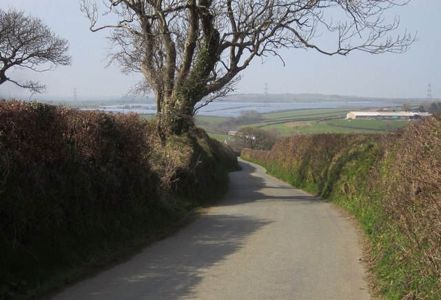
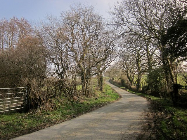
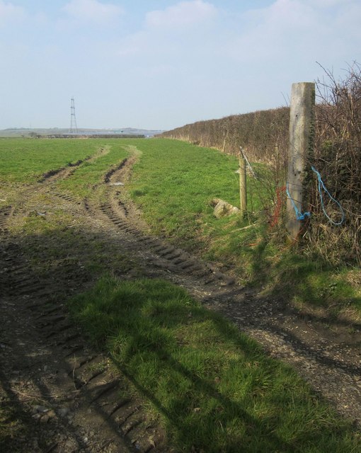
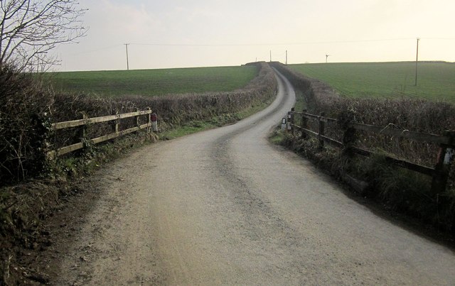
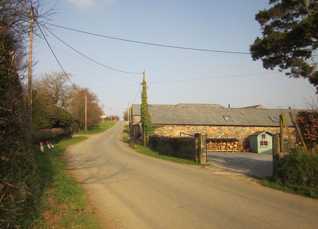
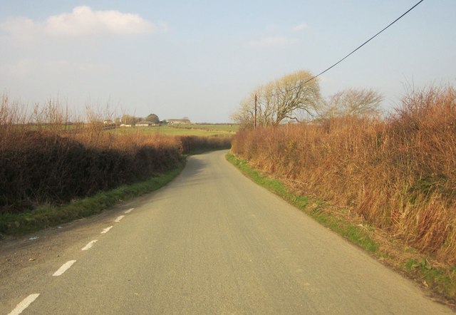
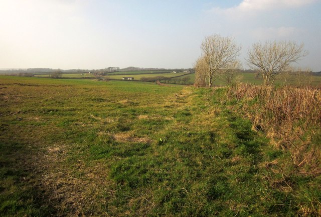
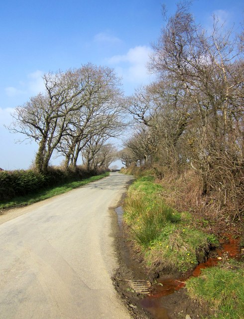
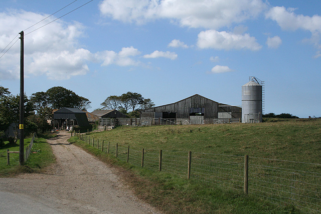
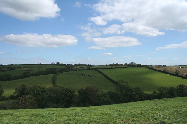
Maxworthy Images

Images are sourced within 2km of 50.710246/-4.471994 or Grid Reference SX2592. Thanks to Geograph Open Source API. All images are credited.

Field Edge view at Clubworthy Triangulation Pillar Looking westward towards communications mast.
Field Edge view at Clubworthy Triangulation Pillar
Looking westward towards communications mast.
Unsuitable for Motor Vehicles Unsuitable for motor vehicles at Higher Troswell Farmhouse
Unsuitable for Motor Vehicles
Unsuitable for motor vehicles at Higher Troswell Farmhouse
Muddy Farmtrack Muddy farmtrack behind Lower Troswell
Muddy Farmtrack
Muddy farmtrack behind Lower Troswell
Cattle Handling Area Cattle handling area on the farm track behind Lower Troswell
Cattle Handling Area
Cattle handling area on the farm track behind Lower Troswell
Lane to Troswell The lane from Brazacott crosses a tiny stream destined to become part of Caudworthy Water. There are tiny lambs in the field ahead - see 
<a href="https://www.geograph.org.uk/photo/4396855">SX2591 : Lambs, Cappadocia</a>.
Lane to Troswell
The lane from Brazacott crosses a tiny stream destined to become part of Caudworthy Water. There are tiny lambs in the field ahead - see SX2591 : Lambs, Cappadocia.
Lane to Caudworthy Bridge The lane from Troswell starts a steep descent into the Caudworthy Water valley. Ahead is certainly the largest solar farm I've yet seen, at Lower Wheatley Farm. It covers 52 hectares and generates 25 MW.
Lane to Caudworthy Bridge
The lane from Troswell starts a steep descent into the Caudworthy Water valley. Ahead is certainly the largest solar farm I've yet seen, at Lower Wheatley Farm. It covers 52 hectares and generates 25 MW.
Lane to Troswell Taken in the Caudworthy Water valley, with the lane crossing a small tributary and turning to start an ascent to the farms at Troswell.
Lane to Troswell
Taken in the Caudworthy Water valley, with the lane crossing a small tributary and turning to start an ascent to the farms at Troswell.
Field east of Canworthy From the road between Canworthy Water and Caudworthy Bridge. At larger sizes you can just make out part of the enormous solar farm, at Lower Wheatley Farm, above the far hedge.
Field east of Canworthy
From the road between Canworthy Water and Caudworthy Bridge. At larger sizes you can just make out part of the enormous solar farm, at Lower Wheatley Farm, above the far hedge.
Field near Middle Wheatley From one of a series of sharp bends on the lane through the farms at Whiteleigh. You can make out the farm at Middle Wheatley through the leafless trees in the wood at the top of the field.
Field near Middle Wheatley
From one of a series of sharp bends on the lane through the farms at Whiteleigh. You can make out the farm at Middle Wheatley through the leafless trees in the wood at the top of the field.
Lane to Caudworthy Bridge The lane from Stapleton and Whiteleigh, here crossing a tributary of the Caudworthy Water.
Lane to Caudworthy Bridge
The lane from Stapleton and Whiteleigh, here crossing a tributary of the Caudworthy Water.
Maxworthy With barn conversions by the road.
Maxworthy
With barn conversions by the road.
Lane near Maxworthy Cross North of the junction, and approaching a T junction with a road north-west of Clubworthy. Ahead is Buttern Farm.
Lane near Maxworthy Cross
North of the junction, and approaching a T junction with a road north-west of Clubworthy. Ahead is Buttern Farm.
Field near Clubworthy On the other side of the lane from <a href="https://www.geograph.org.uk/photo/608429">SX2793 : Field near Clubworthy</a>.
Field near Clubworthy
On the other side of the lane from SX2793 : Field near Clubworthy.
Lane near Brazacott Cross Dropping down from Brazacott Cross to cross a tributary of the Caudworthy Water on its way to Higher Troswell.
Lane near Brazacott Cross
Dropping down from Brazacott Cross to cross a tributary of the Caudworthy Water on its way to Higher Troswell.
Lane to Higher Troswell From Brazacott, and crossing successive tributaries of the Caudworthy Water.
Lane to Higher Troswell
From Brazacott, and crossing successive tributaries of the Caudworthy Water.
Track near Cappadocia Taken at the same place as <a href="https://www.geograph.org.uk/photo/4390209">SX2591 : Lane to Troswell</a>; the little lambs shown in 
<a href="https://www.geograph.org.uk/photo/4396855">SX2591 : Lambs, Cappadocia</a> are in the field on the left.
Track near Cappadocia
Taken at the same place as SX2591 : Lane to Troswell; the little lambs shown in SX2591 : Lambs, Cappadocia are in the field on the left.
Lambs, Cappadocia Another attempt to photograph the cute lambs almost glimpsed in <a href="https://www.geograph.org.uk/photo/4390209">SX2591 : Lane to Troswell</a> and <a href="https://www.geograph.org.uk/photo/4396834">SX2591 : Track near Cappadocia</a>.
Lambs, Cappadocia
Another attempt to photograph the cute lambs almost glimpsed in SX2591 : Lane to Troswell and SX2591 : Track near Cappadocia.
Lane near Higher Troswell At a bend on the way to Caudworthy Bridge.
Lane near Higher Troswell
At a bend on the way to Caudworthy Bridge.
Show me another place!

Maxworthy is located at Grid Ref: SX2592 (Lat: 50.710246, Lng: -4.471994)

Unitary Authority: Cornwall

Police Authority: Devon and Cornwall

What 3 Words

///commuting.tightrope.records. Near Jacobstow, Cornwall

Nearby Locations

Maxworthy Higher Troswell

Related Wikis

Maxworthy

Maxworthy is a hamlet north of North Petherwin in east Cornwall, England. == References ==

South Wheatley, Cornwall

South Wheatley is a hamlet between Canworthy Water and Maxworthy in Cornwall, England, United Kingdom. == References ==

Troswell

Lower Troswell and Higher Troswell are two farms in the parish of North Petherwin, Cornwall, England, UK. == See also == List of farms in Cornwall �...

Copthorne, Cornwall

Copthorne is a hamlet in the parish of North Petherwin, Cornwall, England. == References ==

Nearby Amenities

Located within 500m of 50.710246,-4.471994
Maxworthy
Is In: Cornwall, England, UK
Name Kw: Karvacka
Place: hamlet
Lat/Long: 50.710604/-4.4705127
The data included in this document is from www.openstreetmap.org. The data is made available under ODbL.

Have you been to Maxworthy?

Leave your review of Maxworthy below (or comments, questions and feedback).